Skip to content
techduopulse
Newsletter
HomeLatestAnalysisAI & MLHardwareSoftwareSecurityCloud

techduopulse / Latest

Latest Technology News & Guides — Page 5

The newest reporting, analysis, explainers, reviews, and practical guides from the techduopulse newsroom.

320Published stories

Showing 97–120 of 320 stories

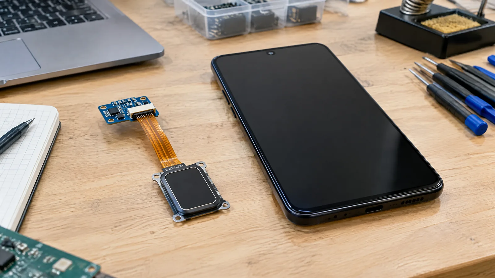
Illustrative AI-generated editorial scene showing Fingerprint reader in a generic education context.Explainer
Hardware15 Oct 2026

Phone Fingerprint Sensor Types: Optical, Capacitive and Ultrasonic Readers

A plain-English guide to optical, capacitive and ultrasonic phone fingerprint readers, where they fit on a handset, and what Android security boundaries mean for unlocking and app sign-in.
By techduopulse Editorial Desk7 min
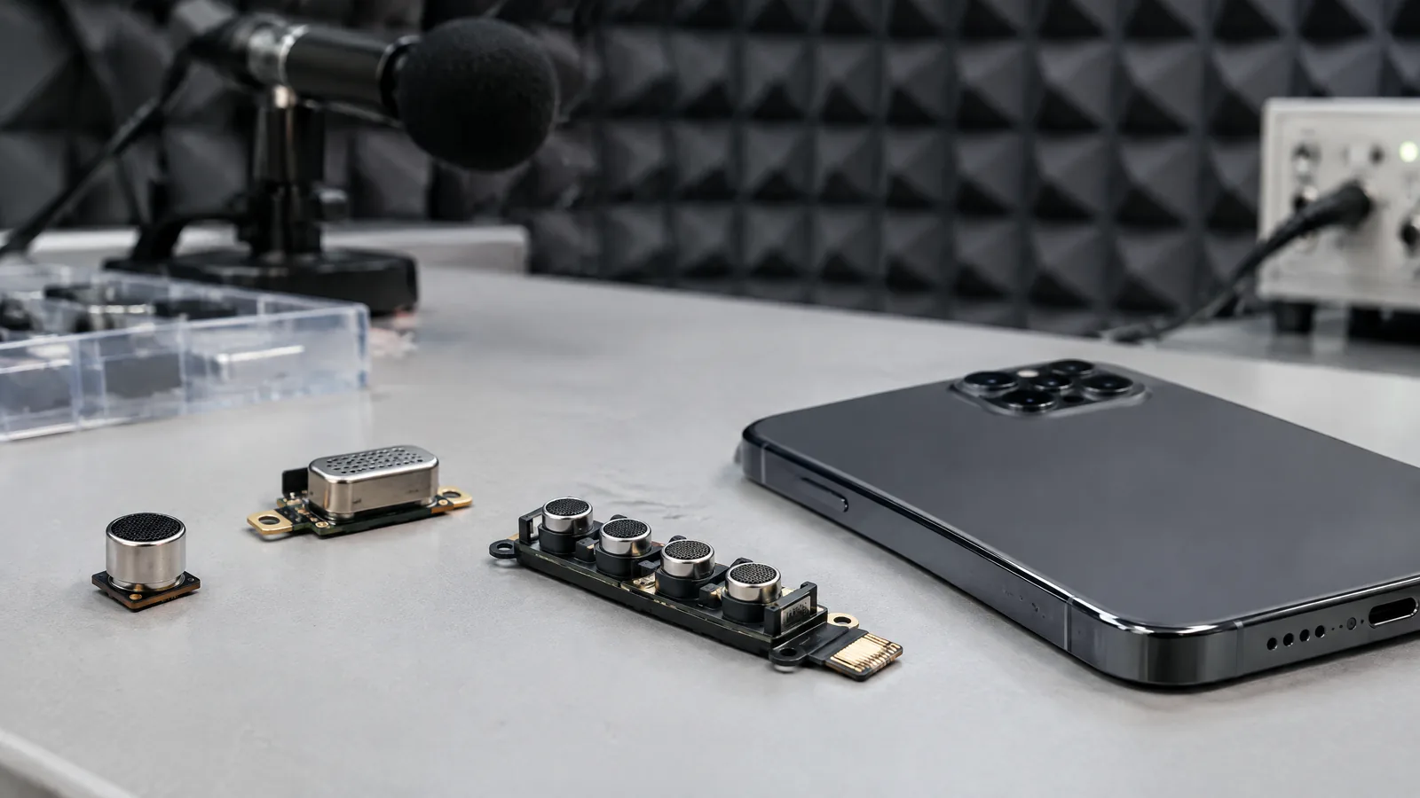
Illustrative AI-generated editorial scene showing Microphone(s)/microphone array in a generic education context.Explainer
Hardware15 Oct 2026

Phone Microphone Sensor: How Calls, Voice Notes and Video Audio Work

Learn how phone microphones turn sound into audio for calls, voice notes and video, and why arrays, processing and placement affect the result.

By techduopulse Editorial Desk7 min
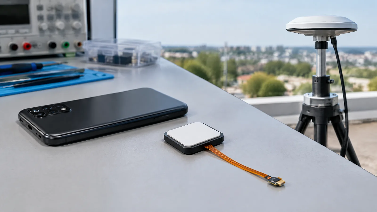
Illustrative AI-generated editorial scene showing GNSS receiver and antenna in a generic education context.Explainer
Hardware15 Oct 2026

GNSS Receiver and Antenna in Phones: How GPS Location Works

A beginner-friendly explanation of the phone GNSS receiver and antenna behind Maps, route recording and location sharing, including what changes between models.

By techduopulse Editorial Desk7 min
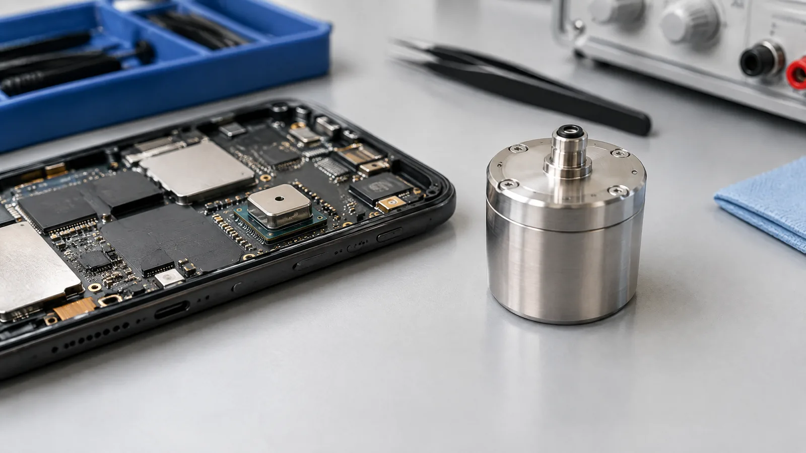
Illustrative AI-generated editorial scene showing Barometer (ambient-pressure sensor) in a generic education context.Explainer
Hardware15 Oct 2026

Phone Barometer Sensor Uses: Height Estimates and Limits

A plain-English guide to phone barometer sensor uses, including ambient-pressure readings, vertical-change estimates, model availability and the limits of floor and altitude results.

By techduopulse Editorial Desk6 min
Illustrative AI-generated editorial scene showing Ambient-light sensor in a generic education context.Explainer
Hardware15 Oct 2026

Ambient Light Sensor in Phones: How Auto-Brightness Works

Learn what an ambient-light sensor measures in a phone, how it feeds auto-brightness, and why placement, software tuning and screen glare affect the result.

By techduopulse Editorial Desk6 min
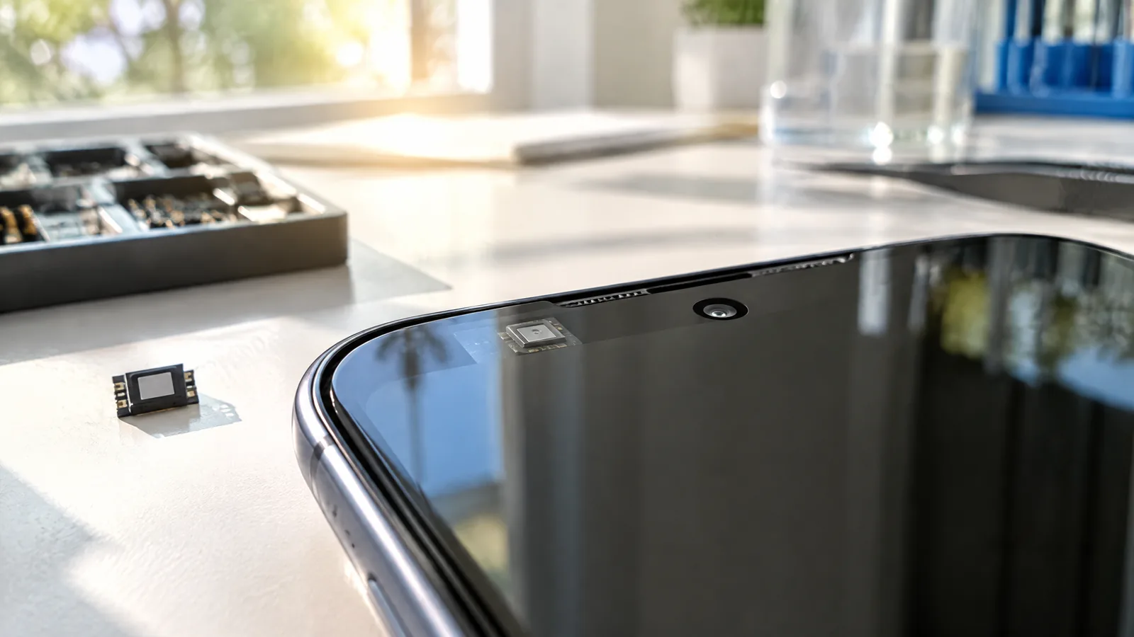
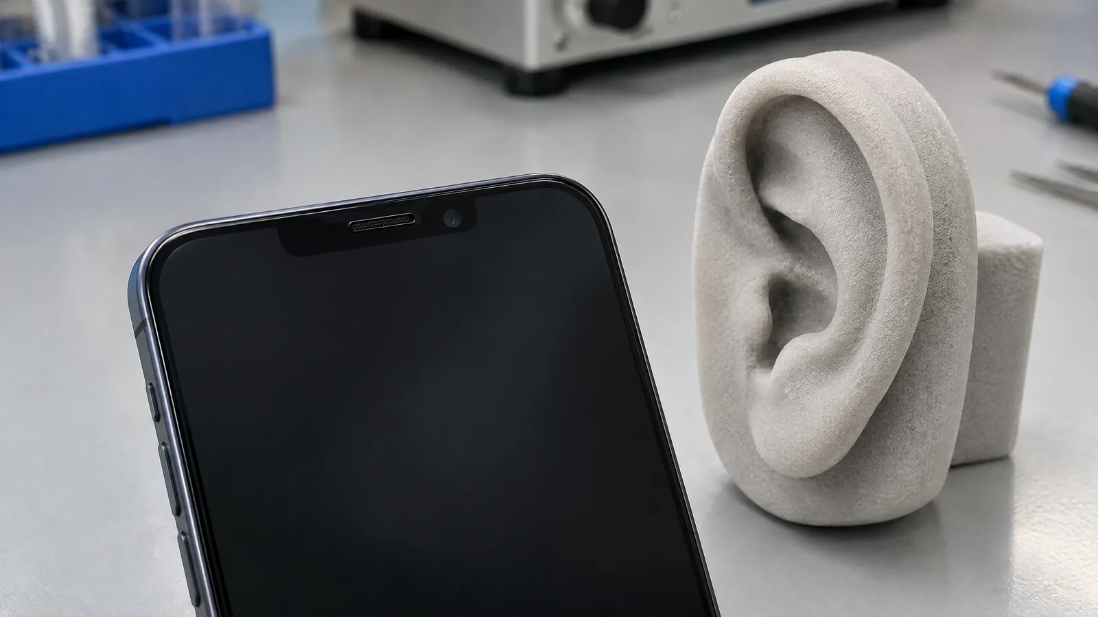
Illustrative AI-generated editorial scene showing Proximity sensor in a generic education context.Explainer
Hardware15 Oct 2026

Phone Proximity Sensor: Why a Screen Turns Off During Calls

Understand how a phone proximity sensor helps switch off the display near your ear, why readings vary, and what to check when the screen behaves strangely during a call.

By techduopulse Editorial Desk6 min
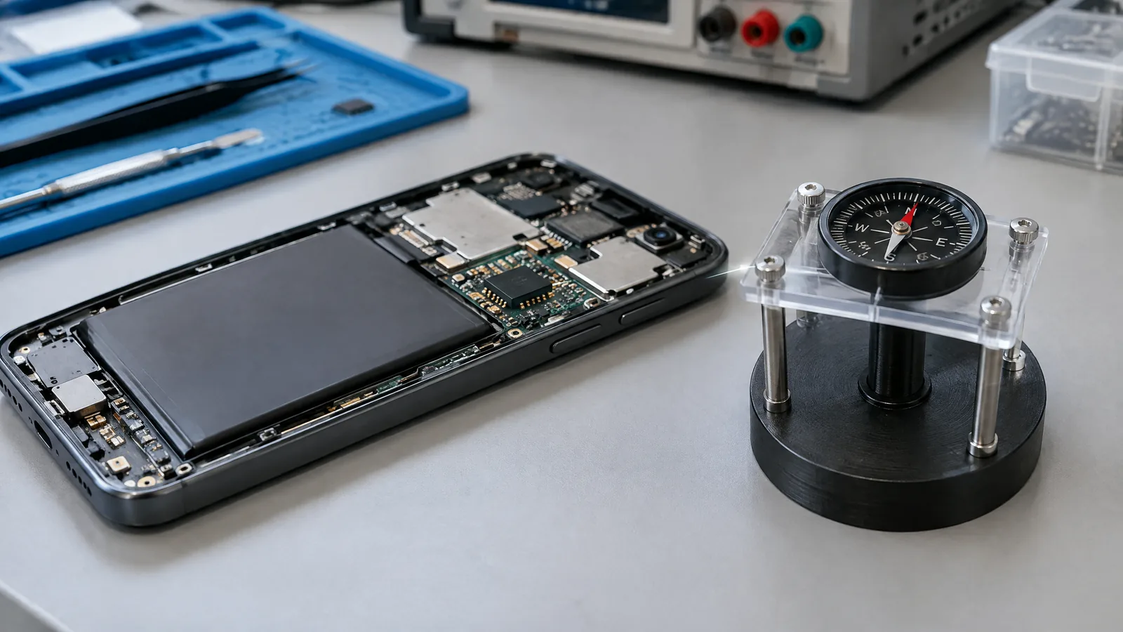
Illustrative AI-generated editorial scene showing Magnetometer (geomagnetic-field sensor) in a generic education context.Explainer
Hardware15 Oct 2026

Phone Magnetometer: Digital Compass Accuracy and Interference

A practical beginner guide to what a phone magnetometer measures, how Android turns field readings into direction, and why nearby metal or magnets can affect a compass.

By techduopulse Editorial Desk7 min
Illustrative AI-generated editorial scene showing Accelerometer in a generic education context.Explainer
Hardware15 Oct 2026

Phone Accelerometer Uses: Auto-Rotate, Shakes and Motion Readings

A plain-English guide to how a phone accelerometer detects tilt and movement, supports auto-rotate and gestures, and differs from Android’s software-derived sensors.

By techduopulse Editorial Desk6 min
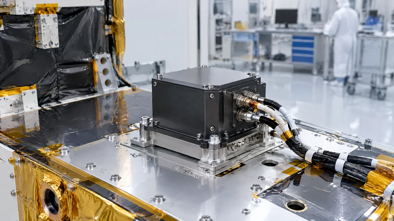
Illustrative AI-generated editorial scene showing GNSS radio-occultation receiver (GNSS-RO) in a generic education context.Explainer
Science15 Oct 2026

GNSS Radio Occultation: How LEO Receivers Profile the Atmosphere

GNSS radio occultation uses a dedicated LEO receiver to turn small changes in navigation-satellite signals into profiles of the atmosphere and ionosphere.

By techduopulse Editorial Desk7 min
Illustrative AI-generated editorial scene showing CERES broadband radiometer in a generic education context.Explainer
Hardware15 Oct 2026

CERES Satellite Instrument on Aqua: How the Broadband Radiometer Measures Earth’s Radiation Balance

Understand what the CERES broadband radiometer measures on NASA’s Aqua satellite, how its channels observe energy, and why radiation-budget data is not the same as a thermometer reading.

By techduopulse Editorial Desk6 min
Illustrative AI-generated editorial scene showing Geostationary Lightning Mapper (GLM) in a generic education context.Explainer
Hardware15 Oct 2026

Geostationary Lightning Mapper: How GOES Detects Lightning

Learn how the Geostationary Lightning Mapper on GOES-R satellites detects total lightning, what its optical data shows, and why forecasters use it for storms, aviation and wildfire monitoring.

By techduopulse Editorial Desk6 min
Illustrative AI-generated editorial scene showing Advanced Microwave Sounding Unit-A (AMSU-A) in a generic education context.Explainer
Science15 Oct 2026

AMSU-A Microwave Sounder: Measuring Atmospheric Temperature Through Clouds

AMSU-A is a passive 15-channel microwave instrument that estimates atmospheric temperature structure from the surface to about 40 km, including observations designed to remain useful when clouds complicate infrared sensing.

By techduopulse Editorial Desk7 min
Illustrative AI-generated editorial scene showing Atmospheric infrared sounder (AIRS) in a generic education context.Explainer
Hardware15 Oct 2026

Atmospheric Infrared Sounder (AIRS): How Aqua Builds 3D Weather Profiles

A plain-English guide to how NASA’s AIRS instrument on Aqua reads emitted infrared energy and turns it into three-dimensional atmospheric information.

By techduopulse Editorial Desk6 min
Illustrative AI-generated editorial scene showing Radar scatterometer in a generic education context.Explainer
Science15 Oct 2026

Radar Scatterometer: How Satellites Derive Ocean Wind Vectors

A plain-English guide to how an active microwave radar scatterometer reads sea-surface roughness and turns several backscatter views into a near-surface ocean wind vector.

By techduopulse Editorial Desk6 min
Illustrative AI-generated editorial scene showing Satellite radar altimeter in a generic education context.Explainer
Science15 Oct 2026

Satellite Radar Altimeters: Measuring Sea-Surface Height and Waves

A beginner-friendly explanation of how a satellite radar altimeter measures ocean height, wave conditions and related Earth-surface signals along its track.

By techduopulse Editorial Desk7 min
Illustrative AI-generated editorial scene showing Microwave imaging radiometer (GPM Microwave Imager) in a generic education context.Explainer
Science15 Oct 2026

GPM Microwave Imager: How Passive Microwaves Help Map Precipitation

The GPM Microwave Imager reads natural microwave signals across 13 channels to support precipitation estimates, while DPR adds active radar measurements of storm structure.

By techduopulse Editorial Desk6 min
Illustrative AI-generated editorial scene showing Dual-frequency precipitation radar (DPR) in a generic education context.Explainer
Science15 Oct 2026

Dual-frequency Precipitation Radar: How GPM Measures Rain and Snow

A plain-English guide to the GPM Dual-frequency Precipitation Radar, its Ku- and Ka-band measurements, what its 3D rain and snow data reveal, and where the satellite view has limits.

By techduopulse Editorial Desk7 min
Illustrative AI-generated editorial scene showing Spaceborne laser altimeter (lidar) in a generic education context.Explainer
Science15 Oct 2026

Spaceborne Laser Altimeter (Lidar): How ICESat-2 Measures Height

A plain-English guide to how an active spaceborne laser altimeter measures ice, land and sea-ice elevation, using NASA’s ICESat-2 as the example.

By techduopulse Editorial Desk6 min
Illustrative AI-generated editorial scene showing Synthetic aperture radar (SAR) in a generic education context.Explainer
Science15 Oct 2026

Synthetic Aperture Radar Satellites: How SAR Images Earth at Night and Through Cloud

Synthetic aperture radar satellites send microwave pulses to Earth and read the returning signal, enabling useful imaging day or night and in many cloudy conditions.

By techduopulse Editorial Desk7 min
Illustrative AI-generated editorial scene showing Thermal infrared imager (Landsat TIRS) in a generic education context.Explainer
Hardware15 Oct 2026

Landsat Thermal Infrared Sensor: Measuring Land Surface Temperature From Orbit

A beginner-friendly explanation of how Landsat 8 TIRS senses emitted thermal infrared radiance and supports observations of water use, glaciers and urban heat.

By techduopulse Editorial Desk7 min
Illustrative AI-generated editorial scene showing Multispectral imager (Sentinel-2 MSI class) in a generic education context.Explainer
Hardware15 Oct 2026

Sentinel-2 Multispectral Imager: How 13 Bands Monitor Land and Vegetation

A plain-English guide to the Sentinel-2 multispectral imager, its 13 bands, spatial resolutions, repeat coverage and practical limits for observing land and vegetation.

By techduopulse Editorial Desk7 min
Illustrative AI-generated editorial scene showing Precision accelerometer for gravity missions in a generic education context.Explainer
Hardware15 Oct 2026

Why GRACE-FO Carries a Precision Accelerometer for Gravity Science

The GRACE-FO accelerometer does not read gravity directly. It measures drag, solar pressure and other non-gravitational forces so the twin-satellite mission can infer changes in Earth's gravity.

By techduopulse Editorial Desk7 min
Illustrative AI-generated editorial scene showing Onboard GNSS receiver in a generic education context.Explainer
Science15 Oct 2026

Satellite GNSS Receivers: How Spacecraft Determine Their Orbits

An onboard GNSS receiver listens to navigation satellites to estimate a spacecraft's position, velocity and time. Here is what it measures, how orbit determination works, and why the receiver is not an Earth-imaging payload.

By techduopulse Editorial Desk7 min
Illustrative AI-generated editorial scene showing Inertial measurement unit (IMU) in a generic education context.Explainer
Hardware15 Oct 2026

What a Satellite IMU Does—and What It Does Not Measure

A plain-English guide to what a satellite IMU measures, how it supports three-axis attitude control, and why it cannot replace every spacecraft reference sensor.

By techduopulse Editorial Desk7 min

Page 5 of 14

Previous1…456…14Next

The Signal

One considered technology briefing.

The week’s important systems, products, and ideas—explained without the noise.

techduopulse

Technology explained clearly through news, analysis, practical guides, and research.

Explore

LatestAnalysisArtificial IntelligenceCybersecurity

Company

AboutContactEditorial StandardsPrivacyTerms

Stay informed

A concise first-party newsletter. No advertising links.

© 2026 techduopulse
Gujarat, India
Built for curious minds.