When a weather team needs wind information across a cloudy ocean, a camera image alone cannot provide the answer. A radar scatterometer is an active microwave sensor that measures backscatter from small waves on the sea surface, then uses retrieval processing to estimate a near-surface ocean wind vector.
This article is part of the emerging technology science guide library.
Key takeaways
A radar scatterometer measures reflected microwave energy, not wind as a direct physical reading. Wind changes the roughness of the sea surface, and that roughness changes the returned signal.
Multiple viewing angles, a geophysical model function and ambiguity removal are needed to derive speed and direction. The familiar 10-m wind vector is a processed data product.
Scatterometer data support weather prediction, ocean modelling and climate records, but rain, coastlines, footprint averaging and uneven sampling can reduce confidence.
- Measures: ocean-surface microwave backscatter
- Derives: near-surface wind speed and direction, commonly referenced at 10 m
- Needs: calibration, a retrieval model and quality control
- Watch for: rain contamination, land effects and multiple direction solutions
What does a radar scatterometer measure?
A radar scatterometer is an active microwave radar payload. Unlike a passive radiometer, it transmits microwave energy towards Earth and records the portion scattered back towards the spacecraft. The sensor is therefore measuring a radar quantity, often expressed as normalised radar backscatter or sigma-0, rather than directly sensing the speed of air moving above the water.
At sea, short centimetre-scale waves respond to wind stress. A smoother or rougher surface changes how much energy returns to the antenna. ESA describes this chain as sea-surface roughness being used to calculate a wind vector at 10 m height. That is why the sensor name can be confusing: the instrument is a scatterometer, while the ocean wind vector is the result of processing its observations.
Because it supplies its own microwave illumination, the method does not depend on sunlight. It is also useful when ordinary optical imagery is affected by cloud. This does not mean every observation is perfect in all weather; rain can alter the signal and must be detected or handled by the product algorithm.
How satellite scatterometer retrieval works
One backscatter value is not enough to identify both wind speed and direction. A scatterometer observes a patch of ocean from more than one azimuth or incidence angle, producing several views of the same roughness pattern. The retrieval system compares those measurements with a geophysical model function, which describes how expected backscatter changes with wind speed, relative direction, viewing geometry, polarisation and frequency.
The model is inverted to find wind vectors that best fit the measurements. That inversion can produce more than one plausible direction, called an ambiguity. A second stage uses an ambiguity-removal method, often including maximum-likelihood estimation and contextual information, to select the most likely solution. NOAA describes this process for ASCAT and notes that its products can contain multiple ambiguity solutions.
The final output may be a swath of wind-vector cells or a gridded field. NASA's MEaSUREs ocean-surface-wind record separates Level 2 swath products from Level 3 gridded wind and stress fields. Users should therefore check the processing level before treating a map as a direct sensor image.
- Transmit microwave pulses or beams towards the ocean.
- Measure backscatter from the sea-surface roughness pattern.
- Combine views from different angles and, where applicable, polarisations.
- Invert a geophysical model function to generate candidate wind vectors.
- Remove directional ambiguities and apply quality flags before delivery.
The instrument is not the same on every mission
Radar scatterometer is a sensor class, not one universal hardware design. NASA describes Metop ASCAT as a C-band, vertically polarised, real-aperture radar with fan-beam antennas on both sides of the satellite track. QuikSCAT SeaWinds used a Ku-band pencil-beam design, while ISRO's SCATSAT-1 carried the Ku-band OSCAT-2 instrument with a conically scanning dish antenna and two polarisation beams.
These differences matter because frequency, antenna pattern, polarisation, incidence angle and orbit geometry affect calibration and retrieval. A QuikSCAT example should not be presented as the specification for every satellite scatterometer. Cross-mission climate records require inter-calibration so that differences between instruments do not look like changes in ocean wind.
The physical payload also sits inside a larger measurement system. Antennas, transmit and receive electronics, timing, orbit and attitude information, calibration data and ground processing all contribute to the delivered wind product. The instrument supplies the backscatter observations; it does not independently produce a finished weather map.
Where scatterometer ocean winds are used
Weather centres can assimilate ocean wind vectors into numerical weather prediction and use them to examine storm structure. NASA identifies ocean surface wind and wind stress as important to weather forecasting across scales, including organised storm systems and tropical cyclones. NOAA likewise says ASCAT data feed numerical weather prediction models and support analysis of individual storm activity.
Oceanographers use the fields to study air-sea exchange and surface circulation. Wind stress is not identical to wind speed: it describes the force transferred from moving air to the ocean, and it is derived using additional relationships and processing. A scatterometer dataset can therefore support more than a simple arrow showing wind direction, but each derived field needs its own documentation.
Long records also help climate analysis. NASA's MEaSUREs-OSVW project cross-calibrated data from ASCAT, QuikSCAT and SCATSAT-1 to create a consistent record of ocean surface winds and wind stress from 1999 to 2022. That example shows both the value of combining missions and the need to document how the combination was made.
Limitations to check before using the data
Rain is a major qualification. It can contaminate the microwave measurement and make retrieved winds appear too high or, in some products, too low. Quality flags and rain-screening information should stay with the wind field rather than being discarded during mapping.
Coastal cells need care because land can contaminate a footprint. NOAA specifically warns that proximity to land can cause excessively high estimated speeds in an ultra-high-resolution product. Scatterometers also average information over a footprint rather than measuring a single point; UCAR describes typical QuikSCAT retrieval footprints in the broad 10–50 km range.
Coverage is not the same as continuous local observation. A polar-orbiting satellite samples a swath as it passes, so daily averages and model fields are not automatically equivalent. UCAR notes uneven daily sampling and warns that daily averages are not strictly comparable to numerical model output. Always check timestamp, grid, footprint, ambiguity status and quality flags before comparing two datasets.
Finally, a wind vector is an estimate produced by a model-based inversion. Different missions and product versions can use different geophysical model functions, ambiguity-removal methods and quality controls. The product documentation is part of the measurement.
| Question | Why it matters |
|---|---|
| Was the cell affected by rain? | Rain can bias the backscatter and retrieved speed. |
| Is it close to land or sea ice? | Non-ocean surfaces can change the return and contaminate a wind estimate. |
| Which processing level is it? | A Level 2 swath and a Level 3 grid are different data products. |
| How were ambiguities and calibration handled? | Several directions can fit the measurements, and instruments are not identical. |
Radar scatterometer FAQs
These answers describe the sensor class and common ocean-wind products. A mission's own product manual takes priority when its frequency, geometry or quality flags differ.
Does a radar scatterometer measure wind directly?
No. It measures microwave backscatter from sea-surface roughness. Retrieval software uses multiple views and a geophysical model function to estimate wind speed and direction, commonly referenced at 10 m height.
Is a scatterometer the same as a camera or optical satellite sensor?
No. It is an active microwave radar payload that transmits energy and measures the return. That lets it operate without sunlight, although rain and other conditions can still affect the measurement.
Why can one location have more than one wind direction solution?
The backscatter-to-wind relationship is not always unique. The retrieval can produce several directional ambiguities, so an ambiguity-removal step selects the most likely solution and the product may retain the alternatives or a quality indicator.
Can scatterometer data be used right beside a coastline?
Use caution. Land can contaminate the radar footprint, and NOAA warns that near-coast ultra-high-resolution estimates can appear too fast. Check the product's land and quality flags instead of assuming every coastal cell is reliable.
Is QuikSCAT the name of the sensor type?
No. QuikSCAT was a mission carrying the SeaWinds scatterometer. Other missions use different scatterometer designs, such as ASCAT and SCATSAT-1 OSCAT, with their own frequencies, antennas and processing choices.
About the image
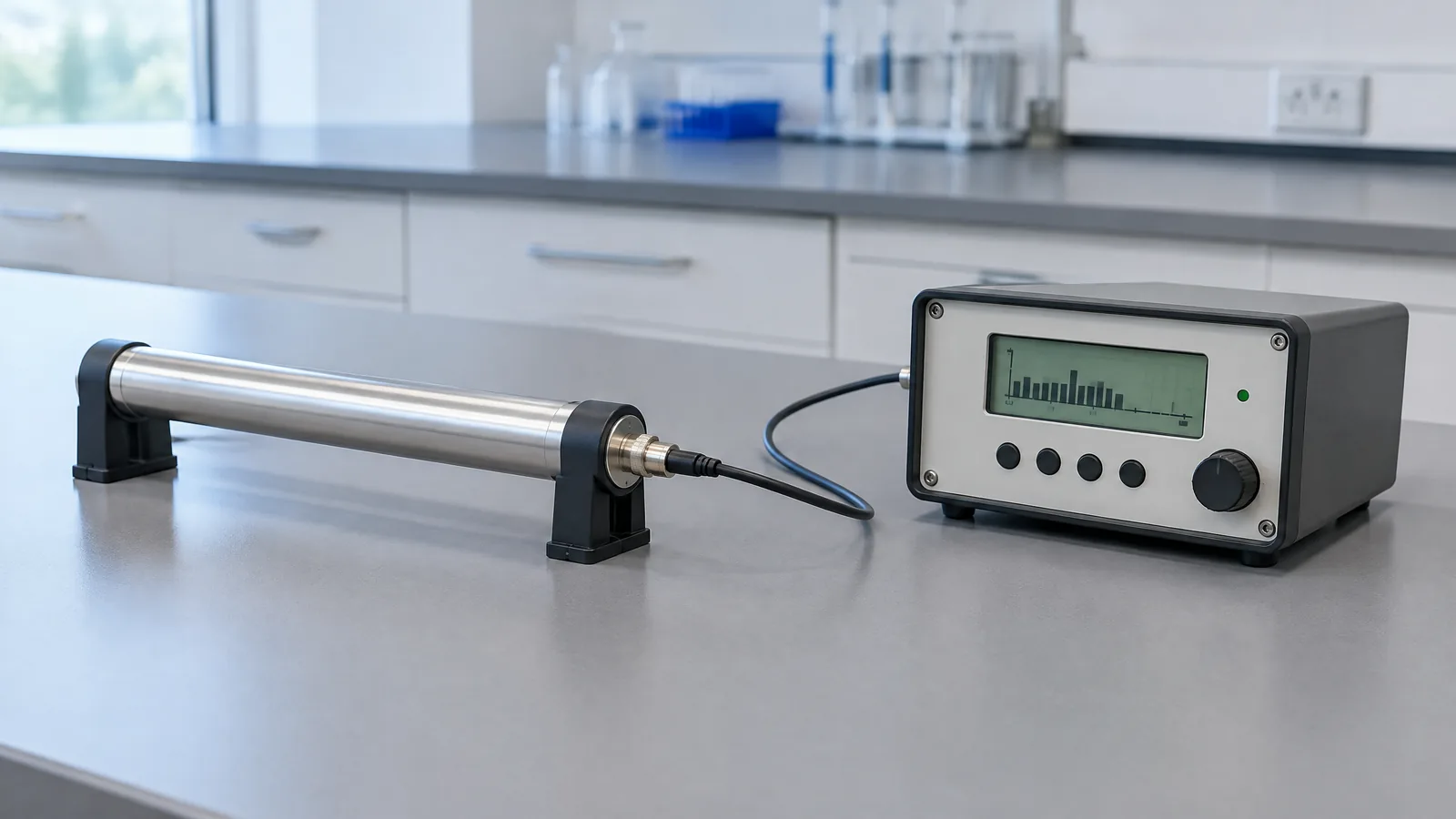
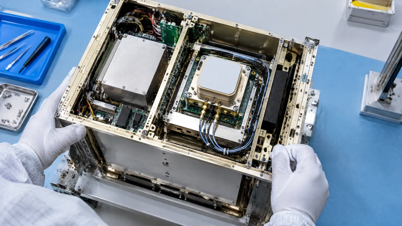
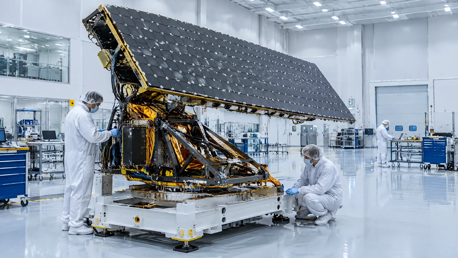
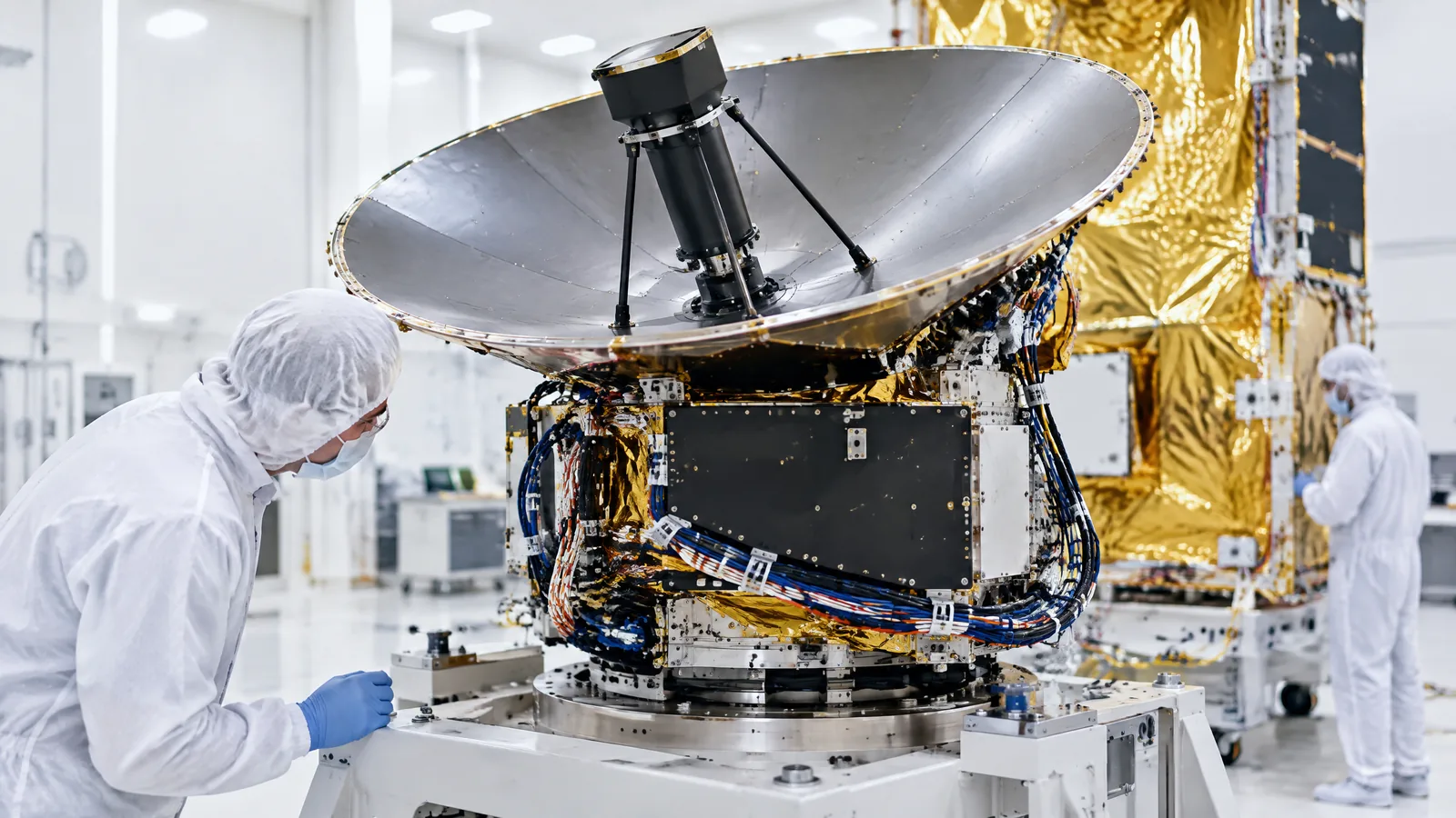
AI-generated editorial illustration; not an actual product or mission photograph.
Source notes
Reporting record
techduopulse stores source destinations privately. Public notes remain non-clickable so every visitor journey stays on this website.
Source note: ESA Earth-observation technical guide
Primary source · Active radar scatterometer, sea-surface roughness and 10-m wind-vector derivationSource note: NASA Earthdata MEaSUREs Ocean Surface Vector Winds project
Primary source · Cross-calibrated scatterometer missions, processing levels, instrument designs and long ocean-wind recordSource note: NOAA ASCAT wind algorithm and product guidance
Primary source · Backscatter-to-wind retrieval, geophysical model function, ambiguities, weather use and coastal/rain limitationsSource note: UCAR Climate Data Guide QuikSCAT overview
Secondary source · Backscatter and roughness, GMF inversion, ambiguity removal, footprint and sampling limitationsInitial new-page article for the uncovered satellite radar scatterometer topic. Explains the distinction between measured microwave backscatter and retrieved 10-m ocean wind vectors; separates mission-specific antenna and frequency designs; covers geophysical-model-function retrieval and ambiguity removal; and qualifies rain, land, footprint, sampling and cross-calibration limitations using ESA, NASA, NOAA and UCAR evidence.