When a satellite has to report where it is, the answer does not come from a camera pointed at Earth: an onboard GNSS receiver listens to navigation signals from GNSS satellites and estimates the spacecraft's position, velocity and time. In practical terms, this receiver supports orbit determination and onboard navigation, while antennas, tracking electronics and mission software turn the radio signals into a usable state estimate.
This article is part of the emerging technology science guide library.
What does an onboard GNSS receiver measure?
An onboard GNSS receiver measures the timing and frequency behaviour of signals transmitted by navigation satellites such as GPS or Galileo. It tracks signals from satellites in view, estimates how long each signal took to arrive and observes carrier-phase or Doppler changes caused by relative motion. Those observations are used to calculate a navigation solution: position, velocity and time (PVT).
The receiver does not photograph land, map clouds or directly measure an ocean surface. It is a radio-navigation receiver. The physical sensing function is the reception and tracking of signals; the position solution is produced by signal-processing and navigation software. ESA Navipedia explains that the usual receiver output is PVT, while the underlying measurements include code delay, carrier phase, Doppler and pseudorange.
A pseudorange is not simply a perfect ruler measurement. It starts with signal travel time and is affected by clock errors and propagation effects, so corrections and estimation are needed before it can support precise orbit work. This is why a receiver's reported location should be understood as the output of a measurement-and-computation chain rather than a single instantaneous reading.
- Navigation signals received from GNSS satellites.
- Signal timing, code delay, carrier phase and Doppler-related observations.
- A computed position, velocity and time solution for the spacecraft.
How GNSS supports satellite orbit determination
Orbit determination means estimating the spacecraft's trajectory from measurements and an orbit model. A GNSS receiver supplies observations or a navigation solution that can be combined with the spacecraft's known dynamics, clock information and other tracking data. The result can support real-time onboard navigation, later orbit reconstruction, or both, depending on the mission design.
ESA describes spaceborne GNSS as a way for spacecraft in low Earth orbit and some geostationary applications to determine position while reducing dependence on ground stations. That does not mean ground tracking disappears. Ground teams may still refine the orbit, check the onboard solution and combine it with other measurements. NASA's technical evaluation of GPS navigation-solution data also found that usefulness varied by vehicle and processing method, so onboard GNSS should not be presented as an automatic replacement for every ground measurement.
A real example is GRACE-FO. NASA's Jet Propulsion Laboratory says its attitude and orbit control system includes GPS receivers and uses them as references for the precise location of the two satellites. The same system also has star trackers, gyros, Earth and Sun sensors and a magnetometer. This separation matters: the GNSS receiver helps estimate orbital position, while the star tracker determines spacecraft orientation relative to the stars.
- The receiver collects signals and produces observables or a navigation solution.
- Navigation software can combine those data with an orbital model and other spacecraft inputs.
- Ground systems may still validate, refine or reconstruct the orbit after the onboard estimate is produced.
What hardware sits around the receiver?
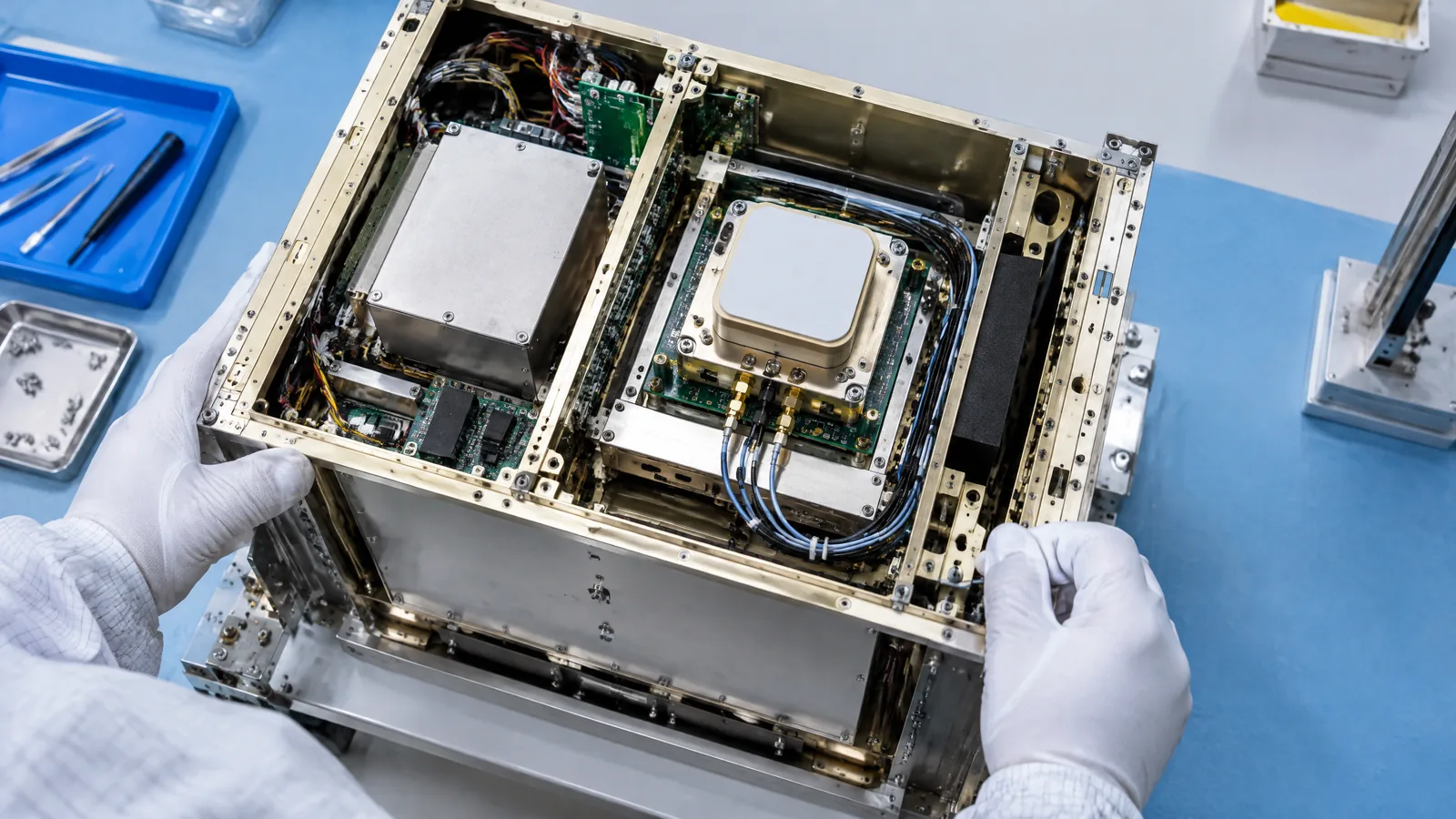
The phrase satellite GNSS receiver can describe more than one box. A mission may have external antennas, radio-frequency front-end electronics, a baseband processor, navigation software and a computer that passes the result to guidance, navigation and control or to the spacecraft data system. These are related parts of a subsystem, not interchangeable names for the sensing element.
Antenna count and placement are mission-specific. GRACE-FO, for example, uses three antennas: one for navigation data, one for atmospheric occultation data and one as a backup navigation antenna. The occultation function is an additional mission use of an antenna and receiver chain; it is not a requirement that every spacecraft GNSS receiver must have three antennas.
ESA's ESEO project provides another useful boundary. Its experimental payload combined commercial single-frequency receiver components with a navigation computer and an extended Kalman filter. ESA describes that arrangement as an experiment for a particular low-cost mission, not as a universal recipe. Commercial or model-specific parts may be suitable only after they are assessed for the mission's signal environment, radiation, vibration, power and thermal requirements.
| Part or function | What it does | Is it universal? |
|---|---|---|
| GNSS antenna | Receives navigation signals from selected directions or with a designed reception pattern. | A receiving antenna is needed, but count and pattern are mission-specific. |
| Receiver front end and baseband | Captures, filters and tracks the radio signals and produces measurements. | The implementation varies by receiver and mission. |
| Navigation computer and filter | Combines observations with timing and an orbit model to estimate the spacecraft state. | Often separate or integrated; algorithms and redundancy are model-specific. |
| Star tracker, gyro or magnetometer | Provides attitude or attitude-rate information rather than replacing the GNSS position measurement. | Separate instruments with their own mission-dependent roles. |
Why a spacecraft receiver is not just a phone GPS chip
A terrestrial receiver is usually designed for signals arriving from above a user on Earth. A spacecraft moves at high speed, can see a changing signal geometry and may need reception over a wider range of directions. ESA notes that spacecraft velocity creates larger Doppler shifts and shorter tracking periods, so acquisition and tracking logic must handle a more dynamic environment.
Orbit altitude changes the signal problem too. In low Earth orbit, reception conditions can be broadly similar to terrestrial use, but higher orbits can encounter weaker or less favourable signals because GNSS transmitting antennas are designed mainly toward Earth. Antenna pattern, spacecraft structure and reflections from the vehicle can also affect the measurement.
Space qualification adds another boundary. A receiver intended for a spacecraft may need to meet strict limits on mass, size and power and tolerate launch vibration, radiation and the mission's thermal environment. A commercial component can appear in an experimental payload, as ESA's ESEO example shows, but that does not make every commercial receiver suitable for flight.
- High relative velocity and Doppler shift.
- Changing visibility and signal geometry across the orbit.
- Antenna placement, spacecraft reflections and coverage limitations.
- Space-environment, power, mass and reliability requirements.
Limitations readers should keep in mind
An onboard GNSS receiver is useful only when the spacecraft can acquire and track suitable signals. Signal blockage, interference, poor geometry, receiver faults or an unsuitable orbit can reduce availability or accuracy. A receiver also does not independently explain why an orbit changed; it supplies measurements that a navigation system interprets with models and checks.
Coverage is not universal across satellites. It is common in many low Earth orbit designs, but a mission may use different tracking arrangements, may add GNSS only as one source of navigation data, or may not carry an onboard receiver at all. The exact constellation support, antenna arrangement, frequency capability, redundancy and output rate depend on the spacecraft.
The safest plain-English summary is that GNSS gives a spacecraft a way to observe navigation signals and estimate its state. It helps answer where the spacecraft is and how it is moving, but it is not the same as an Earth-observation camera, a star tracker or a propulsion system.
Key takeaways
An onboard GNSS receiver listens to navigation satellites and helps calculate spacecraft position, velocity and time. Its measurements support orbit determination and onboard navigation, but the final estimate comes from signal processing and navigation software.
The receiver is one part of a larger subsystem. Antennas, baseband electronics, navigation computers, filters and redundancy arrangements can be separate and model-specific.
A GNSS receiver does not image Earth and does not replace attitude instruments such as star trackers. Spacecraft speed, orbit altitude, antenna geometry and radiation and power constraints all limit how it works.
Onboard GNSS receiver FAQs
These answers describe the general spacecraft application. A particular satellite's receiver, constellation support and antenna design can differ.
Is a satellite GNSS receiver an imaging sensor?
No. It receives navigation signals and uses their timing and frequency information to estimate position, velocity and time. An Earth-imaging payload measures reflected or emitted radiation from the planet, which is a different function.
Does a GNSS receiver directly measure a satellite's orbit?
It measures signal-related observables and can output a position, velocity and time solution. Navigation software and orbit models then estimate the spacecraft trajectory. The result may be checked or refined with ground tracking and other spacecraft data.
Do all satellites carry onboard GNSS receivers?
No. They are common in many low Earth orbit missions but are not universal. Receiver use depends on orbit, mission needs, spacecraft design, signal availability and the chosen ground and onboard navigation architecture.
What is the difference between a GNSS receiver and a star tracker?
A GNSS receiver estimates orbital position and related navigation information from radio signals. A star tracker observes stars to determine spacecraft orientation. A spacecraft can use both because position and attitude are different measurements.
Can a normal phone GPS chip be used in a spacecraft?
Not automatically. A spacecraft receiver must handle a different velocity, Doppler environment, signal geometry and space qualification needs. Commercial components may be tested in a particular mission, but suitability is mission-specific.
About the image
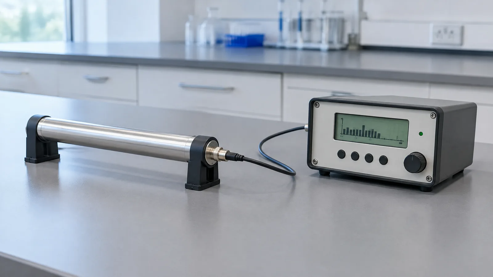
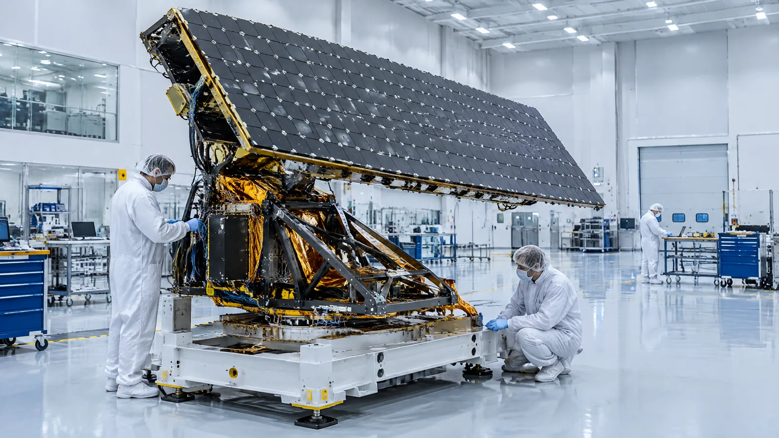
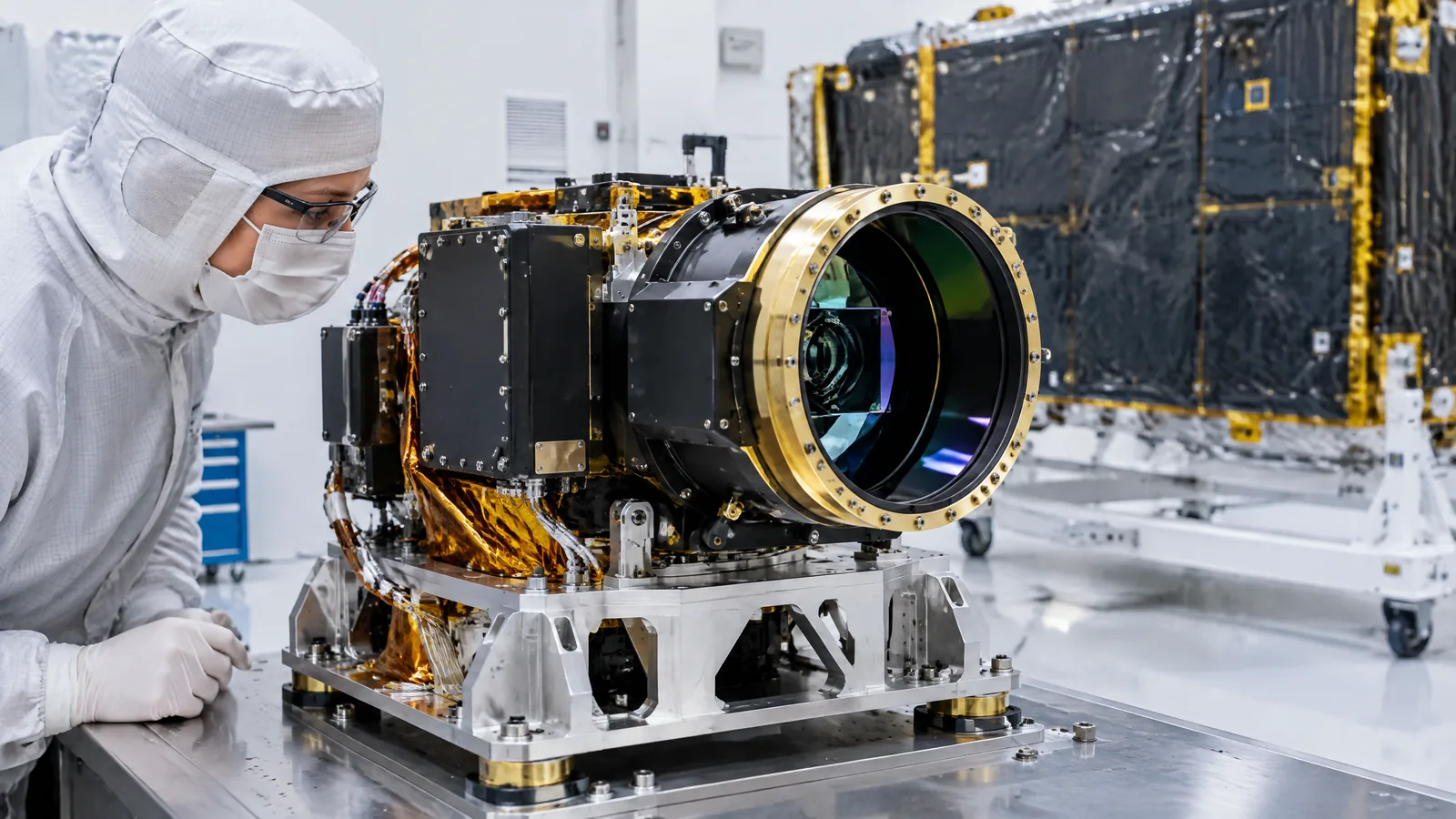
AI-generated editorial illustration; not an actual product or mission photograph.
Source notes
Reporting record
techduopulse stores source destinations privately. Public notes remain non-clickable so every visitor journey stays on this website.
Source note: NASA/JPL GRACE-FO attitude and orbit control system
Primary source · GPS receiver as an orbit-position reference; three-antenna GRACE-FO example; distinction from star tracker and other sensorsSource note: ESA Navipedia GNSS receiver fundamentals
Primary source · Signal-in-space processing; PVT solution; pseudorange, code delay, carrier phase and Doppler; receiver design trade-offsSource note: ESA Navipedia spaceborne GNSS applications
Primary source · LEO and GEO spacecraft navigation; Doppler and velocity; orbit and antenna constraints; radiation, mass and power limitsSource note: ESA ESEO GPS receiver and orbit-determination experiment
Primary source · LEO experiment using commercial single-frequency components, raw observables, orbital model and extended Kalman filter; mission-specific architectureSource note: NASA NTRS evaluation of GPS orbit-determination data
Primary source · Evaluation of GPS navigation-solution data for LEO tracking; mission- and processing-dependent results; viable alternative in evaluated casesNew 15 October 2026 India-facing satellite explainer based on NASA/JPL, NASA NTRS and ESA technical sources. Defines the onboard GNSS receiver as a navigation receiver rather than an Earth-imaging payload, separates measurements from the computed PVT solution, distinguishes antennas and navigation computers from the receiver, qualifies ESEO and GRACE-FO examples as mission-specific, and explains LEO, velocity, antenna and space-environment limits without universal or accuracy claims.