When a glacier changes height or sea ice becomes thinner, a photograph alone cannot tell you the elevation change precisely. A spaceborne laser altimeter (lidar) sends timed laser pulses from orbit and uses their returns to measure height, with NASA’s ICESat-2 showing how the method can study ice sheets, glaciers, sea ice and other Earth surfaces.
This article is part of the emerging technology science guide library.
Key takeaways
A spaceborne laser altimeter is an active remote-sensing payload: it supplies its own light instead of waiting for sunlight or natural thermal emission.
The basic measurement is a timed distance between the spacecraft and a surface return. With the spacecraft’s position and geometry, that distance becomes an elevation measurement along the satellite track.
ICESat-2 is a named NASA example. NASA says it measures the height of a changing Earth with 10,000 laser pulses per second and targets ice sheets, glaciers, sea ice and more.
Not every space lidar is an altimeter. Other lidar payloads can profile clouds, aerosols or winds, and their hardware and data products are different.
- Active lidar sends energy and analyses the returned signal.
- Laser timing supports elevation measurement rather than a normal camera image.
- Clouds, surface reflectivity, orbit geometry and processing affect what the data can say.
What does a spaceborne laser altimeter measure?
A spaceborne laser altimeter measures the distance from an orbiting instrument to a reflecting surface, then uses that range with spacecraft position and pointing information to estimate elevation. The physical sensor is the laser-and-receiver payload; the final elevation product also depends on timing electronics, orbit knowledge, attitude information and ground processing.
This is an active measurement. The instrument emits a pulse and waits for a return, unlike passive imagery that detects sunlight reflected from Earth or radiation emitted by a surface. That difference lets an active system define its own illumination, although the return still depends on the target and the atmosphere.
The result is not automatically a full photograph or a continuous wall-to-wall height map. Altimetry samples where the spacecraft’s measurement geometry takes it. Repeated observations can then be compared when the target, processing and reference conditions are suitable.
How ICESat-2 turns laser pulses into elevation data
NASA describes ICESat-2 as the Ice, Cloud, and Land Elevation Satellite 2 and says it measures the height of a changing Earth one laser pulse at a time. Its mission page reports 10,000 laser pulses per second. In simple terms, the payload records when a pulse leaves, when photons return, and the spacecraft state needed to place those returns on Earth.
A return from an ice sheet, glacier, sea-ice surface or land feature gives the instrument a range estimate. Many observations along the orbital path form an elevation profile. Scientists can study the shape of the surface and, with suitable repeat observations and corrections, investigate change over time.
The number of pulses is not the same as the number of final measurements a reader should expect. Some returns are weak or affected by clouds, surface texture and background light. Data processing decides which observations are usable and how they are represented in a scientific product.
- Transmit a laser pulse toward Earth.
- Record the timing and characteristics of returned light.
- Combine the range with spacecraft position and pointing information.
- Filter and process observations into elevation or related science data.
- Compare compatible observations to study surface change.
What can satellite lidar reveal about ice and land?
ICESat-2’s stated objective covers ice-sheet, glacier and sea-ice elevation, as well as other surfaces. That makes it useful for asking whether a surface is higher or lower along observed tracks and for building evidence about how frozen regions are changing. Elevation is a different signal from visible brightness: a darker or brighter patch in an image does not by itself establish a change in height.
Lidar’s wider Earth-observation uses are broader than altimetry. ESA’s guide lists precise topographic measurement and glacier growth or decline monitoring, but also describes lidar systems for cloud profiling, winds, aerosols and atmospheric components. Those applications may require different instruments, wavelengths, receivers and interpretation methods.
For a beginner, the practical distinction is simple: ask first what the payload was designed to measure. An elevation-focused laser altimeter should not be treated as interchangeable with an atmospheric wind lidar or a passive multispectral camera.
Limitations and what the sensor cannot tell you alone
A laser return is not a magic measurement of every surface condition. Clouds or atmospheric effects can interfere with the path, and a weak or ambiguous return may need to be rejected or treated carefully. Surface slope, roughness, vegetation and reflectivity can also affect how the recorded photons represent the target.
Coverage is shaped by orbit and viewing geometry. A satellite can provide repeat observations over remote places, but it does not measure every point continuously. A track-based elevation result should not be presented as a complete local survey unless the relevant product and sampling support that conclusion.
Finally, a sensor reading is not the same as a finished climate or hazard conclusion. Analysts need geolocation, time, processing choices and a reference frame. The safe interpretation is to use the mission’s documented data products and state what was actually measured: a height or elevation observation under a defined set of conditions.
| Question | What the altimeter can support | What needs extra evidence |
|---|---|---|
| Did the observed surface have a measured elevation? | A range-based elevation observation along the measurement path. | A claim about every location in a wide area. |
| Did an ice surface change? | Comparison of compatible elevation observations over time. | A cause, forecast or impact without other data. |
| Is this a satellite lidar product? | An active laser return and documented processing chain. | Assuming all lidar missions use the same target, wavelength or resolution. |
Spaceborne laser altimeter FAQs
The answers below separate the general sensor principle from the specific NASA ICESat-2 example. Mission documentation should take priority when a product has a specialised target or processing method.
Is a spaceborne laser altimeter the same as a satellite camera?
No. A camera records spatial patterns of reflected or emitted light, while an active laser altimeter sends pulses and uses return timing to estimate range and elevation. Some missions carry both kinds of instruments, but their measurements are not interchangeable.
What does ICESat-2 measure?
NASA says ICESat-2 measures the height of a changing Earth and lists ice sheets, glaciers, sea ice and more among its targets. It is a concrete example of an active spaceborne laser altimeter mission.
Does every satellite lidar measure ice height?
No. ESA’s Earth-observation guide describes lidar uses that include topography, glacier monitoring, cloud profiling, wind profiling and aerosol studies. The target and data product depend on the payload’s design.
Can satellite lidar measure a surface continuously?
Not by itself. Orbital geometry produces observations along the mission’s measurement paths and at particular times. Coverage and repeat comparisons depend on the orbit, target, atmosphere and usable returns.
About the image
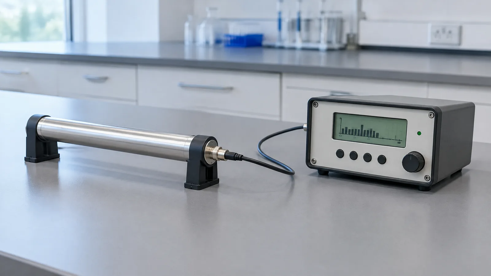
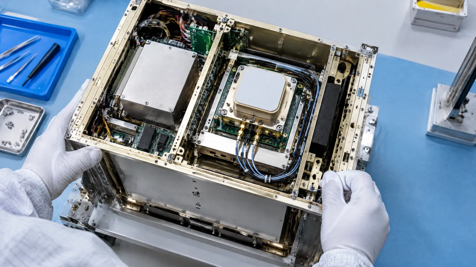
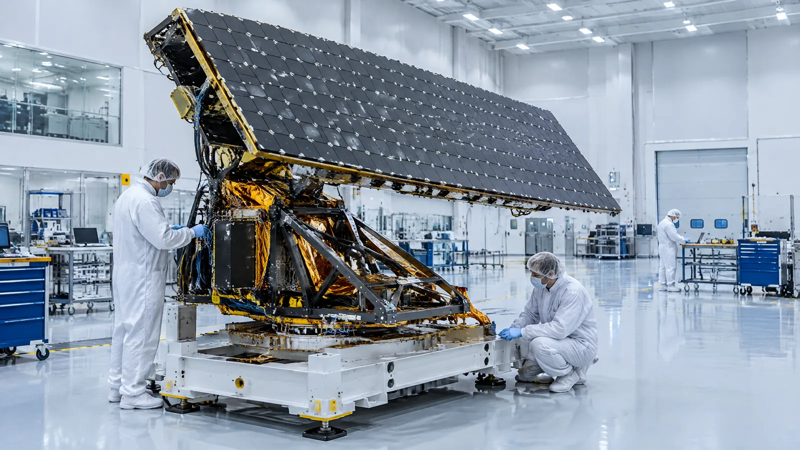
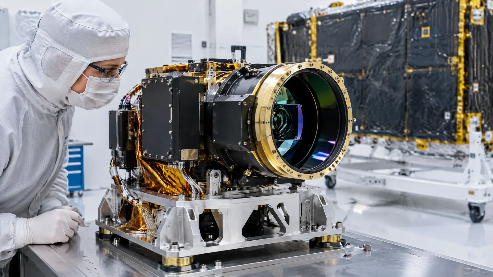
AI-generated editorial illustration; not an actual product or mission photograph.
Source notes
Reporting record
techduopulse stores source destinations privately. Public notes remain non-clickable so every visitor journey stays on this website.
Source note: ESA Earth-observation technical guide
Primary source · Active versus passive sensing, lidar wavelengths and Earth-observation applications and limitationsSource note: NASA ICESat-2 mission overview
Primary source · Active mission identity, 10,000 laser pulses per second, launch date and elevation targetsInitial 15 October 2026 satellite-sensor explainer. Uses NASA’s ICESat-2 mission page and ESA’s Earth-observation guide to distinguish active laser altimetry from passive imagery and from other lidar applications; avoids unsupported accuracy, wavelength, footprint and revisit claims.