When a cloud-covered coastline, flooded field or dark winter scene still needs mapping, an optical satellite camera may not provide a clear answer. A synthetic aperture radar (SAR) satellite sends its own microwave pulses toward Earth and measures the returning signal, so it can image the surface without depending on sunlight and in many cloudy conditions.
This article is part of the emerging technology science guide library.
Key takeaways
Synthetic aperture radar is an active microwave imaging sensor: it transmits energy, receives the echo and turns the return into an image. It is not a conventional camera that waits for reflected sunlight.
SAR can collect useful observations in darkness and is generally less affected by cloud than optical imaging. The radio band, surface material, viewing geometry and weather still affect the result.
SAR supports applications such as ship and oil-spill detection, sea-ice and forest monitoring, soil-moisture studies and infrastructure observation. Interferometric SAR can reveal changes in ground surface position when suitable repeat observations are available.
- Active radar measures returned microwave energy, not colour in visible light.
- Sentinel-1 is a practical mission example with an advanced radar instrument for all-weather, day-and-night Earth imagery.
- A radar image needs interpretation: bright and dark patterns depend on scattering, surface structure and the selected band.
- SAR does not guarantee a clear view in every condition; intense rain can degrade shorter-wavelength X-band signals.
What does a synthetic aperture radar satellite measure?
A synthetic aperture radar satellite measures the strength and timing of microwave echoes returned from Earth. Its radar transmitter sends electromagnetic pulses toward the surface. The antenna receives energy scattered back from buildings, vegetation, water, soil, ice or ships. The system uses return intensity and the time taken for the signal to come back to construct SAR imagery.
The word synthetic refers to the way motion along the satellite’s flight path is combined with repeated radar observations to produce the effect of a much larger antenna. The key point is: the payload records how different parts of the surface scatter the satellite’s own signal. A bright pixel is not automatically a hotter, higher or more important object; it is a return shaped by the object and the observation geometry.
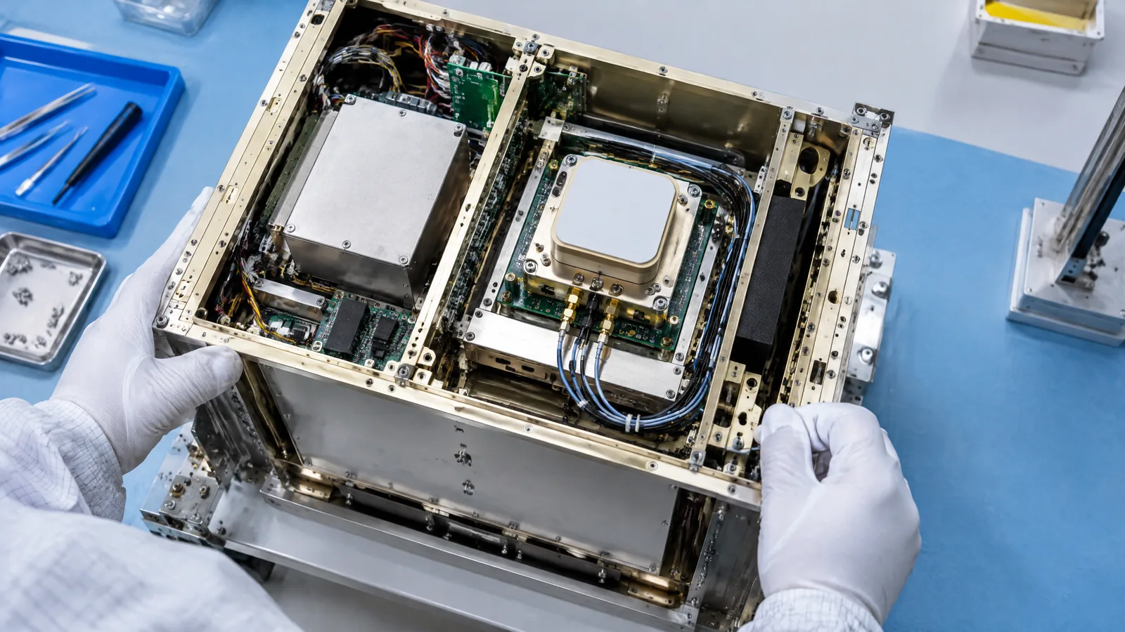
SAR is an instrument and processing chain rather than a single exposed camera sensor. A typical payload includes a transmitter, antenna, receiver and onboard or ground processing. The satellite bus supplies power, pointing, timing and communications, but the radar payload is the part that performs the measurement.
Why SAR works at night and through many clouds
Optical Earth-observation cameras depend on sunlight or another source of illumination in visible and infrared wavelengths. SAR supplies its own microwave illumination, so the measurement does not depend on the day-night cycle. ESA describes active imagery as independent of solar illumination, which is why a SAR satellite can acquire useful data after sunset as well as during the day.
Radar is also generally less affected by cloud than optical imaging. That is valuable when monsoon cloud, smoke or winter darkness interrupts a sequence of optical images. However, “through cloud” should not be read as “unaffected by every weather event”. ESA’s Earth-observation guide notes that shorter-wavelength X-band signals can be degraded by heavy, intense rain cells.
The selected radio band matters because wavelength changes how the signal interacts with the scene. Two SAR missions looking at the same field may produce different patterns if their bands, incidence angles, resolutions or processing modes differ. A satellite name alone is therefore not enough to predict what every radar image will show.
What can SAR satellite imagery be used for?
SAR is useful when the question depends on surface structure, moisture, roughness or change rather than ordinary colour. ESA lists ship detection, oil-spill detection, sea-ice monitoring, forest monitoring, soil moisture and critical infrastructure among possible applications. The exact suitability depends on the mission’s band, resolution, viewing mode, repeat cycle and the analyst’s processing method.
For maritime work, ships and rough water can return radar energy differently from a smoother surrounding sea, while an oil film can change the sea-surface scattering pattern. Vegetation, soil moisture and buildings can alter the return. These are measurement clues, not automatic labels: an analyst must account for look angle, wind, season, terrain and other sources of variation before treating a pattern as a confirmed event.
Sentinel-1 shows how a mission turns this capability into an operational service. ESA describes the Copernicus Sentinel-1 mission as a two-satellite constellation in which each satellite carries an advanced radar instrument to provide all-weather, day-and-night imagery of Earth’s surface. The mission is an example, not a claim that every SAR satellite has the same coverage or product options.
| Observation question | What SAR may contribute | Important qualification |
|---|---|---|
| Is a vessel or sea-ice feature present? | Different scattering can make targets or ice distinguishable from surrounding water. | Sea state, wind, look angle and processing affect the appearance. |
| Has land surface changed? | Repeat radar images can reveal changes in scattering or phase. | The result needs suitable acquisitions and careful interpretation. |
| Is an area wetter or structurally different? | Microwave backscatter can respond to moisture and surface structure. | Band, vegetation, roughness and geometry influence the signal. |
| Can an optical image be collected? | SAR can still provide an active measurement at night and in many cloudy conditions. | Heavy intense rain can degrade some shorter-wavelength observations. |
How interferometric SAR detects ground movement
A standard SAR image shows radar-return information from one observation. Interferometric SAR, often called InSAR, compares the phase of two or more complex radar images collected from slightly different positions or at different times. If the observation conditions are suitable, the phase difference can indicate changes in the signal path and help estimate topography or surface movement.
ESA’s guide identifies surface topography, ground deformation, subsidence and glacier movement as examples. It explains that phase contains range information accurate to a small fraction of the radar wavelength, allowing path-length differences to be detected with centimetric or even millimetric precision in the appropriate interferometric setup. This is a measurement capability, not a promise that every scene will produce millimetre-accurate ground maps.
In practice, repeat-pass analysis can be disrupted by vegetation growth, flooding, snow, decorrelation, atmospheric effects or a poor viewing geometry. The result is a qualified estimate from an image pair or time series and processing choices. SAR can show evidence of change, but it does not by itself explain the cause of that change.
SAR satellite limits beginners should understand
SAR is powerful because it measures a different part of the electromagnetic spectrum, not because it produces a universally clearer image. Radar images can look unfamiliar, and a surface that is bright in radar may be dark in an optical image. Interpretation depends on scattering from the target, the selected band, incidence angle, polarisation, resolution and the processing product.
Mission capabilities also differ. Missions trade among wide-area coverage, fine detail, frequent revisits and specialised applications. A statement about Sentinel-1 should not be copied to every commercial, scientific or defence SAR mission, and a listed application does not mean that every acquisition is suitable for it.
Finally, SAR is not a substitute for field information, optical imagery or specialist analysis in every decision. It can identify patterns and support monitoring, but confirming an oil spill, infrastructure problem, flood impact or ground-motion cause may require other sensors, local records and expert review.
Synthetic aperture radar satellite FAQs
These answers describe the general sensor and qualify mission-specific differences.
Is synthetic aperture radar a camera?
No. SAR is an active microwave imaging system. It transmits pulses, receives the returned signal and uses return strength and travel time to create imagery. The result is an image, but the measurement is not a visible-light photograph.
Can SAR satellites see through clouds at night?
SAR does not depend on sunlight and is generally less affected by cloud than optical imaging, so it can be useful at night and in many cloudy conditions. Heavy intense rain can degrade shorter-wavelength X-band observations, and the result varies by band and mission.
What is Sentinel-1’s radar used for?
Sentinel-1 provides all-weather, day-and-night imagery of Earth’s surface through an advanced radar instrument. SAR applications can include maritime, ice, forest, soil-moisture, infrastructure and deformation monitoring, but the suitable product depends on the specific observation and analysis.
Does SAR directly measure soil moisture or ground movement?
SAR measures microwave returns. Soil moisture and ground movement are derived from how those returns, or their phase in repeat observations, change under suitable conditions. Band, vegetation, surface roughness, geometry and processing affect the inference.
About the image
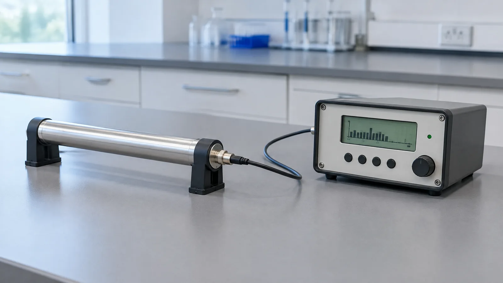
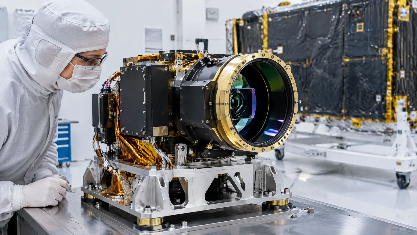
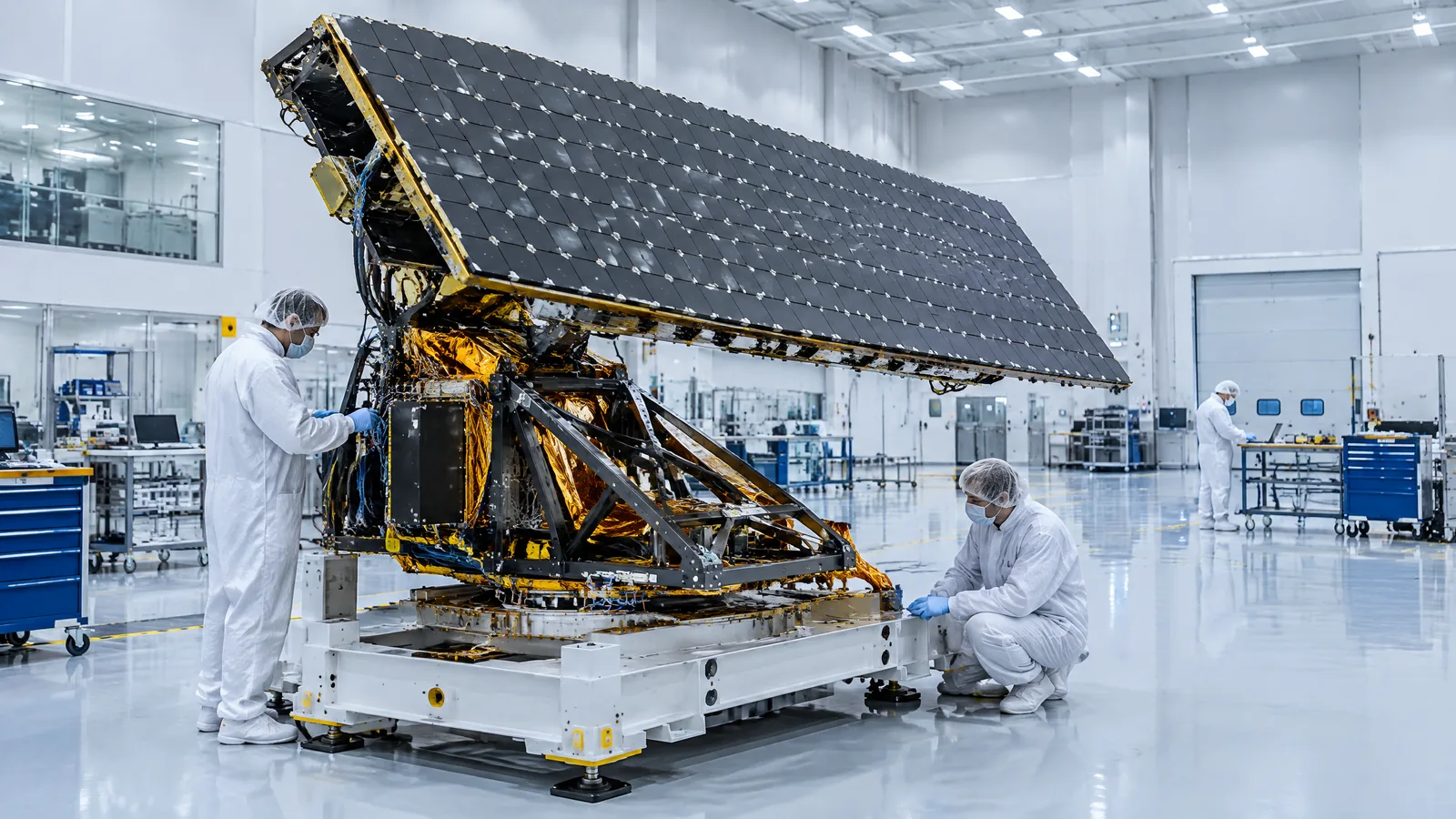
AI-generated editorial illustration; not an actual product or mission photograph.
Source notes
Reporting record
techduopulse stores source destinations privately. Public notes remain non-clickable so every visitor journey stays on this website.
Source note: ESA Sentinel-1 mission overview
Primary source · Two-satellite mission description; advanced radar instrument; all-weather, day-and-night Earth imagerySource note: ESA Earth-observation technical guide
Primary source · Active SAR mechanism; return intensity and timing; band and weather limitations; applications; interferometric SAR and ground-change measurementsNew application-focused explainer for synthetic aperture radar satellites. Defines the active radar payload, explains night and cloud capability, covers Sentinel-1 and evidence-supported applications, distinguishes derived measurements from direct echoes, and qualifies band, weather, geometry and interferometry limits without treating every SAR mission as identical.