A weather map can show where a storm is, but it does not by itself show how temperature and water vapour are arranged above the ground. An atmospheric infrared sounder such as AIRS measures infrared energy emitted by Earth and its atmosphere across many wavelengths, then algorithms use those radiances to derive three-dimensional atmospheric profiles and related products.
This article is part of the computer hardware technology guide library.
What is an atmospheric infrared sounder?
An atmospheric infrared sounder is a passive satellite instrument that observes naturally emitted infrared radiation rather than sending a beam toward Earth. The Atmospheric Infrared Sounder, or AIRS, flies on NASA’s Aqua Earth-observation satellite and was launched with Aqua on 4 May 2002. NASA describes AIRS as a tool for weather forecasting and climate studies, including greenhouse-gas and carbon-dioxide distribution.
AIRS is not the same as a small reflective IR proximity module. It has a cooled array grating spectrometer, a cross-track rotary scan mirror, a four-colour imaging photometer and a multi-aperture spectrometer. The physical instrument records radiance; temperature, water vapour, cloud properties and other outputs are retrieved from those observations using processing algorithms.
- Passive means the instrument receives emitted energy from the scene; it does not illuminate the scene.
- “Sounder” refers to retrieving information through the atmospheric column, not recording audible sound.
- AIRS products are estimates derived from measurements and models, not a direct thermometer reading at every altitude.
How AIRS turns infrared radiation into a weather profile
Different gases and atmospheric layers absorb and emit infrared energy at different wavelengths. AIRS measures 2,378 wavelengths of heat radiation from the air below the spacecraft. Looking across that spectrum gives scientists more information than a single broad infrared band would provide.
The measured radiances are then passed through retrieval algorithms. In practical terms, the algorithms compare the observed spectrum with physically consistent atmospheric states to estimate how temperature and water vapour vary through the column. The resulting data can be combined into three-dimensional maps rather than a single surface value.
AIRS also provides information on cloud properties, surface temperature and trace gases. NASA’s JPL mission description says its data provide 3D measurements of temperature and water vapour through the atmospheric column along with trace gases, surface and cloud properties.
- Optics and spectrometer: collect and separate incoming infrared wavelengths.
- Detector system: records the energy pattern, including the effects of atmospheric absorption and emission.
- Retrieval and calibration processing: converts radiances into geophysical products with stated uncertainties and quality information.
Why the Aqua AIRS application matters for weather
AIRS gives a broad view of the atmosphere over large areas, including regions where ground observations are sparse. The vertical structure of temperature and humidity can help researchers understand severe-weather patterns and can contribute to forecasting systems. NASA’s Aqua overview calls AIRS a primary instrument providing a detailed three-dimensional view of the atmosphere and says that view is useful in practical weather-forecasting applications.
This does not mean AIRS alone predicts a cyclone or monsoon event. Forecasting centres combine satellite observations with numerical weather models, other satellites, aircraft, radiosondes and surface stations. AIRS is one observing input, and its value depends on retrieval quality, coverage, cloud conditions and how the data are assimilated.
The same long record can support climate research. JPL identifies AIRS as useful for studying greenhouse gases and carbon-dioxide distribution, while its mission page notes applications involving humidity, clouds and atmospheric circulation. A climate record is built by careful calibration and consistent processing over time, not by treating one satellite image as a complete climate conclusion.
What AIRS measures—and what it does not
AIRS measures infrared radiance from Earth’s surface and atmosphere globally, every day, according to JPL. The useful result is a set of retrieved products: atmospheric temperature and water vapour profiles, cloud information, surface properties and selected trace-gas observations. The instrument therefore measures energy first and derives atmospheric variables second.
AIRS does not directly photograph a storm in the same way as a visible-light camera, and it is not a simple “heat detector” that reports one temperature for everything below it. Clouds, surface conditions, atmospheric composition, instrument calibration and retrieval assumptions affect the result. A product may also have different vertical resolution and confidence at different heights.
This distinction matters for readers comparing sensors. A multispectral imager can be chosen for mapped visual or thermal patterns, while a sounder is designed to extract information about the atmospheric column. Neither instrument type is automatically better; the correct choice depends on the variable, spatial detail, timing and uncertainty required.
- Directly observed: infrared radiance at many wavelengths.
- Retrieved: temperature, water vapour, cloud and selected trace-gas or surface products.
- Not guaranteed: a single exact temperature, a complete profile in every cloudy scene, or a standalone forecast.
Key takeaways
AIRS is a passive hyperspectral infrared sounder on NASA’s Aqua satellite. It observes 2,378 wavelengths and uses retrieval algorithms to produce three-dimensional information about atmospheric temperature and water vapour, plus cloud, surface and trace-gas products. Its role is best understood as calibrated Earth observation for weather and climate research—not as a household IR sensor or an independent weather-forecasting machine.
Atmospheric infrared sounder FAQs
Is AIRS an infrared camera?
AIRS is an infrared spectrometer or sounder, not simply a conventional camera. It measures infrared radiance across 2,378 wavelengths; algorithms use that spectral information to retrieve atmospheric and surface properties.
What does AIRS measure on Aqua?
AIRS measures infrared energy emitted by Earth’s surface and atmosphere. Its derived products include three-dimensional temperature and water-vapour information, cloud properties, surface properties and selected trace gases.
Does AIRS directly measure humidity?
AIRS observes radiance. Atmospheric water vapour or humidity profiles are retrieved from those radiances with algorithms, calibration and supporting information, so the product is not the same as a direct point hygrometer reading.
Why use many infrared wavelengths?
Different gases and layers affect different wavelengths. A broad spectrum contains more information about the atmospheric column than a single infrared band, allowing retrieval methods to estimate vertical temperature and water-vapour structure.
Can AIRS alone predict a cyclone?
No. AIRS observations can contribute to research and forecasting, but operational forecasts combine many observations with numerical weather models and other ground, airborne and space-based data.
About the image
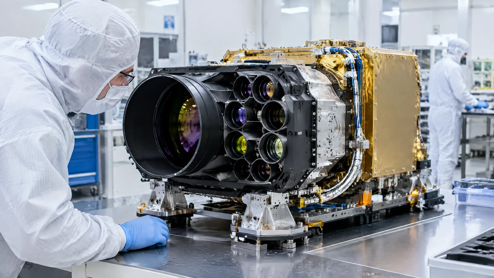
AI-generated editorial illustration; not an actual product or mission photograph.
Source notes
Reporting record
techduopulse stores source destinations privately. Public notes remain non-clickable so every visitor journey stays on this website.
Source note: NASA/JPL AIRS mission overview and instrument description
Primary source · AIRS purpose, 2,378 wavelengths, components, 3D products, launch and applicationsSource note: NASA Aqua instrument overview
Primary source · Aqua mission context, AIRS three-dimensional atmospheric view and forecasting applicationCreated a distinct satellite-application explainer because the existing IR guide covers generic IR sensors but not AIRS, hyperspectral radiance retrieval or atmospheric profiling. Claims are limited to the supplied NASA/JPL and NASA Aqua sources; optional processing and model components are identified as derived rather than physical sensors.