When a heatwave makes a city feel hotter, a ground thermometer records conditions at one place; the CERES broadband radiometer helps scientists ask a larger question: is Earth absorbing more energy than it is sending back to space? On NASA’s Aqua satellite, this CERES satellite instrument measures broadband reflected sunlight and emitted terrestrial radiation so researchers can build an interpreted picture of Earth’s radiation balance, not a simple surface-temperature reading.
This article is part of the computer hardware technology guide library.
What does the CERES broadband radiometer measure?
CERES stands for Clouds and the Earth’s Radiant Energy System. It is a radiometer designed to observe energy leaving or returning from Earth across broad wavelength bands. NASA describes the instrument as a three-channel system that measures reflected solar radiation, emitted terrestrial radiation and total radiation.
The shortwave channel covers about 0.3–5 micrometres and is mainly associated with reflected sunlight. The window channel covers about 8–12 micrometres on the Aqua-era instruments and observes part of the infrared energy emitted by Earth. The total channel covers a much wider range, listed by NASA as 0.3–200 micrometres for the CERES instrument family. These are broadband channels: they combine energy across a range rather than producing a detailed spectrum for every narrow colour band.
A useful distinction is between a detector measurement and a science product. CERES records radiance from space, while processing combines those observations with viewing geometry, calibration and information from other imagers to estimate radiative fluxes at the top of the atmosphere, within the atmosphere and at the surface.
- Shortwave: reflected solar energy, approximately 0.3–5 µm.
- Window infrared: a terrestrial-emission band, approximately 8–12 µm on Aqua-era instruments.
- Total: broadband energy across a much wider range, listed as 0.3–200 µm by NASA CERES documentation.
How does an Aqua CERES radiometer work from orbit?
Aqua carries two CERES instruments, identified by NASA Earthdata as FM3 and FM4, and they were launched with the spacecraft on 4 May 2002. Each CERES unit is a narrow-field-of-view scanning radiometer. It looks across a wide swath as the satellite moves, building observations that can be compared across locations and times.
The instrument can scan in different geometries. Cross-track scanning observes from one side of the orbital track to the other and supports broad coverage. Other scanning modes vary the azimuth angle so scientists can understand how the same scene appears from different directions. That angular information matters because Earth does not reflect sunlight equally in every direction, and clouds, atmosphere and surface features change the signal.
CERES is therefore more than a light meter pointed at Earth. The instrument’s viewing angle, orbit, calibration and companion observations all affect how raw radiance becomes a radiation-budget estimate. NASA’s CERES project says that more than one instrument is involved in much of the final data processing, including higher-resolution spectral imagers such as MODIS or VIIRS and geostationary imagers.
Why radiation balance is not the same as Earth temperature
A thermometer measures temperature at a location or within a particular system. CERES instead observes energy flows: sunlight reflected away, infrared energy emitted to space and the difference between incoming and outgoing energy. NASA Aqua explains that this wider view helps scientists study whether Earth is retaining more heat than it loses over time.
That difference is often called Earth’s radiation budget. It is an Earth-system quantity, so it cannot be read directly from one detector as a single temperature value. Clouds, aerosols, atmospheric gases, land, ocean and ice can all affect how energy is reflected, absorbed or emitted. A CERES data product is consequently an interpreted estimate built from calibrated observations and processing, rather than a thermometer reading for a particular city.
This distinction also explains why the instrument is useful for climate research. Ground stations provide detailed local measurements, while satellites provide repeated observations over wide areas. CERES observations help researchers examine changes in the balance of energy between Earth and space and evaluate climate-model behaviour without pretending that one satellite channel supplies every answer.
What are the important CERES instrument specifications?
Specifications vary by flight model, so a single number should not be treated as universal for every CERES instrument. NASA lists approximately 20 km nadir spatial resolution for the Terra and Aqua flight models, while later instruments have different footprints. The Earthdata instrument page lists 10 km for the prototype flight model, 20 km for FM1–FM4 and 24 km for FM5–FM6.
The instrument also includes calibration systems. NASA describes internal calibration sources, blackbodies, cold-space views and periodic solar or lunar observations. These checks help track instrument behaviour and support a stable long-term record. The result is a measurement system designed for consistency across missions, not a consumer sensor whose output can be read without calibration context.
The later FM6 instrument on NOAA-20 also differs from earlier units: NASA says it replaces the window channel with a 5–35 µm longwave channel. This is why an article about CERES should identify the spacecraft or flight model before quoting a channel range, footprint or hardware figure.
| Feature | What NASA documentation says | How to interpret it |
|---|---|---|
| Instrument type | Three-channel broadband scanning radiometer | It measures broad energy bands, not a narrow spectrum. |
| Aqua channels | Shortwave, window infrared and total | The bands separate reflected sunlight, terrestrial infrared and total broadband energy. |
| Aqua-era footprint | About 20 km at nadir for FM1–FM4 | This is a footprint scale, not street-level resolution. |
| Coverage | Global daily coverage in cross-track mode | Coverage and product timing depend on orbit and processing. |
| Calibration | Internal sources plus space, solar and lunar checks | Calibration is part of the measurement system, not an optional afterthought. |
What can CERES data be used for?
CERES data support research on the exchange of energy between Earth, its atmosphere and space. NASA lists applications in climate, weather and applied science, including long-term radiation-budget records, cloud studies and comparisons between observations and climate models.
For a beginner, the practical workflow is easier to understand as a chain: the detector observes broadband radiance; calibration keeps the signal comparable; scan geometry describes how the scene was viewed; other instruments add cloud and scene information; processing converts the observations into radiative-flux products. The final product can then be examined over hourly, daily or monthly timescales and from regional scales to global averages.
The limitation is just as important as the application. CERES data can show how energy flows vary, but they do not by themselves identify one cause for every change. A result may need cloud, atmospheric, ocean, land or model information before a researcher can explain why the radiation budget changed.
CERES broadband radiometer FAQs
Is CERES a temperature sensor?
No. CERES is a broadband radiometer that observes reflected solar and emitted terrestrial radiation. Its processed data help describe Earth’s radiation budget; they are not a direct thermometer reading for the surface.
What does the CERES sensor on Aqua measure?
Aqua’s CERES instruments measure shortwave reflected energy, infrared terrestrial emission in the window band and total broadband radiation. NASA lists the Aqua-era channels as approximately 0.3–5 µm, 8–12 µm and 0.3–200 µm respectively.
Does CERES observe the whole Earth at once?
No. It scans a broad swath as the satellite orbits. Repeated observations and processing build coverage over time; the detector does not take one instantaneous, street-level picture of the entire planet.
Why are MODIS or other imagers used with CERES?
Higher-resolution imagers provide scene information such as cloud and surface properties. NASA says these observations are combined with CERES radiances to help convert measurements into top-of-atmosphere and surface radiative-flux products.
Are all CERES instruments identical?
No. Flight models differ in footprint and, in the NOAA-20 FM6 case, channel design. Always check the spacecraft and instrument model before comparing specifications.
Key takeaways
The CERES broadband radiometer measures broad bands of reflected sunlight and emitted infrared energy from orbit. Aqua’s CERES observations help build a long-term picture of Earth’s radiation balance, but the result is an interpreted Earth-system quantity rather than a direct temperature reading. Instrument model, viewing geometry, calibration and companion imagers all matter when reading the data.
About the image
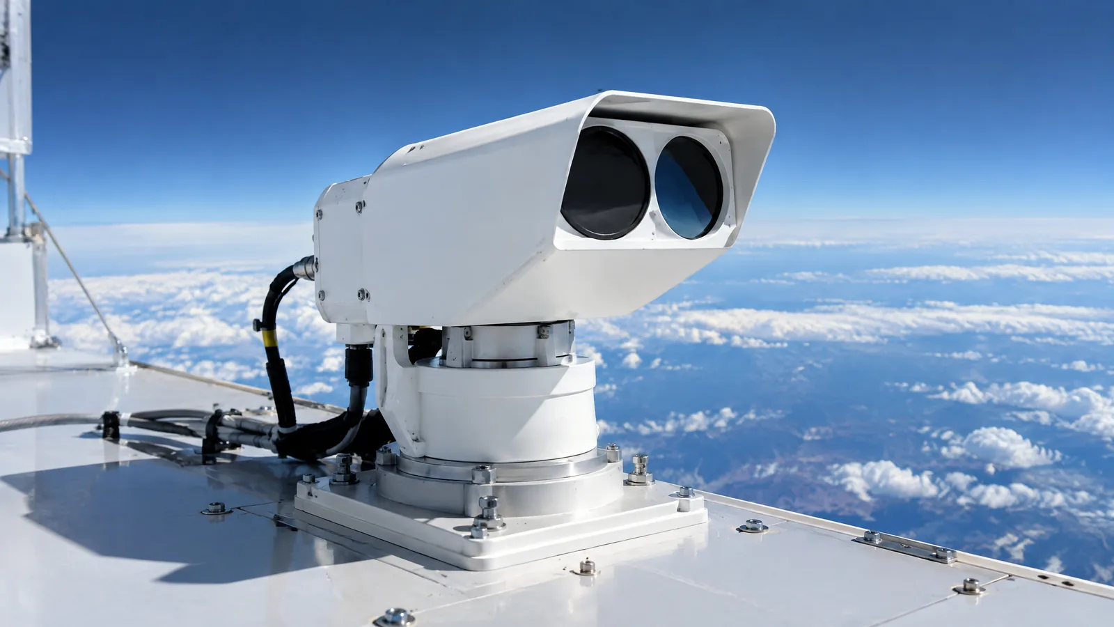
AI-generated editorial illustration; not an actual product or mission photograph.
Source notes
Reporting record
techduopulse stores source destinations privately. Public notes remain non-clickable so every visitor journey stays on this website.
Source note: NASA Aqua — Instrument Overview
Context source · Aqua launched on 4 May 2002; CERES is one of its Earth-observing instruments; the mission describes CERES as tracking Earth’s heat balance and distinguishes its long-term…Source note: NASA Science — CERES — Aqua Mission
Context source · Defines CERES as a three-channel radiometer and gives shortwave, window, total-radiance, scanning, footprint, mass and power characteristics for the Aqua mission.Source note: NASA Langley Research Center — CERES Instruments
Context source · Explains instrument flight-model differences, broadband channel ranges, scanning modes, global daily coverage and onboard and lunar/solar calibration methods.Source note: NASA Earthdata — CERES Instruments
Context source · Lists Aqua FM3/FM4, detector bands, model-dependent spatial resolution, daily temporal resolution and calibration context.Source note: NASA Langley CERES Project — What is CERES?
Context source · Defines Earth’s radiation budget and explains how CERES observations plus other instruments produce top-of-atmosphere, atmospheric and surface radiation-budget products…Created a distinct satellite application explainer because the existing light-sensor guide does not cover CERES or Earth radiation-budget interpretation. Added model-specific caveats, separated raw radiometer observations from fused science products, and avoided treating CERES as a thermometer.