When a city feels hotter than a nearby park or a dry field is using water differently, a visible-light satellite image cannot tell the whole story. The Landsat thermal infrared sensor, formally the Thermal Infrared Sensor (TIRS) on Landsat 8, measures emitted thermal infrared radiance in two bands so scientists can derive land-surface-temperature information from orbit.
This article is part of the computer hardware technology guide library.
Key takeaways
TIRS is a named Earth-observation instrument on Landsat 8, not a standard infrared camera module or a contact thermometer.
It measures emitted thermal infrared energy in Band 10 and Band 11; NASA lists the bands at 10.60–11.19 µm and 11.50–12.51 µm.
The data support applications such as crop water-use studies, glacier monitoring and urban-heat observation.
A reported land-surface-temperature product is a processed remote-sensing result. Calibration, atmospheric conditions, surface properties and the product method affect interpretation.
- TIRS senses thermal radiance from the land surface.
- Its two thermal bands are distinct from Landsat 8 OLI’s visible, near-infrared and shortwave-infrared bands.
- The named instrument has mission-specific optics, detectors, cooling and calibration hardware.
- Pixel size and product resolution should not be confused: NASA lists 100 m TIR spatial resolution resampled to 30 m.
What does the Landsat thermal infrared sensor measure?
TIRS measures thermal infrared energy emitted by Earth’s surface. Infrared is electromagnetic radiation that people cannot see. NASA describes the 8–15 micrometre region as thermal infrared because it is useful for studying the longwave thermal energy radiated by Earth.
That means TIRS is not simply taking a colour photograph of a hot object. The instrument records radiance in selected wavelengths, and processing turns those observations into information about land-surface temperature. The result can help compare patterns across a landscape, but it is not the same as placing a thermometer on the ground at every pixel.
How Landsat 8 TIRS works
Landsat 8 carries two Earth-observing instruments: the Operational Land Imager (OLI) and TIRS. OLI handles visible, near-infrared and shortwave-infrared observations, while TIRS is the thermal-radiance payload. Keeping those roles separate prevents a common mistake: treating every Landsat band as if it measured temperature.
NASA lists two TIRS thermal bands. Band 10 covers 10.60–11.19 µm and Band 11 covers 11.50–12.51 µm. Using two nearby thermal bands helps the mission collect thermal information through a design intended for Earth observation; the bands are not two interchangeable temperature probes.
The instrument’s physical assembly is more specialised than a hobby IR module. NASA lists a cryocooler radiator, Earth view, Earth shield, focal-plane electronics, blackbody and deep-space view for internal calibration. Those are parts of the named TIRS implementation. They should not be presented as requirements for every satellite thermal imager or as parts a beginner can assume in a generic sensor.
- 1. TIRS views the Earth through its thermal-infrared optical path.
- 2. Detector electronics record radiance in the selected thermal bands.
- 3. Internal calibration references help maintain measurement consistency.
- 4. Ground processing uses the observations and relevant models to produce usable Earth-science data.
What can TIRS help researchers observe?
Thermal patterns become useful when they are connected to a real Earth-surface question. NASA highlights crop water use, glacial retreat and urban environments. A warmer or cooler pattern is not automatically a diagnosis; it is an observation that needs geographic context, dates, land cover and appropriate analysis.
For water observation, thermal data can reveal spatial differences associated with surface conditions and help researchers study how crops use water. For glaciers, repeated observations can contribute to tracking retreat over time. In cities, thermal patterns can show how built-up areas and greener spaces differ in surface temperature. These are observation and research uses, not a promise that one image explains every local cause.
| Application | What the thermal view can contribute | Important caution |
|---|---|---|
| Water and crops | Compare land-surface thermal patterns related to water-use studies | A pattern needs crop, weather, soil and time context |
| Glaciers | Support repeated observation of glacial change | Ice, cloud, season and viewing conditions affect interpretation |
| Urban heat | Map differences in surface-temperature patterns across built and green areas | Surface temperature is not the same as air temperature or a person’s experience |
Resolution, calibration and useful limitations
NASA lists 100 m TIR spatial resolution for Landsat 8, resampled to 30 m. Resampling changes the grid on which values are delivered; it does not create new ground detail equal to a native 30 m thermal detector. This distinction matters when a reader compares TIRS with a visible-light layer or a small local thermometer.
Remote temperature measurement also depends on calibration and processing. NIST describes infrared detector calibration as a specialised process based on reference detectors, controlled wavelengths and comparisons of detector response. In practical terms, a TIRS-derived temperature value should be read as a product with assumptions and quality information, not as an unqualified physical measurement.
Clouds, atmosphere, mixed land cover, acquisition time and scene conditions can affect the interpretation of thermal observations. A careful study checks the product documentation and uses more than a single unexplained pixel value.
- Check whether you are looking at native thermal resolution or a resampled product.
- Keep land-surface temperature separate from near-surface air temperature.
- Use acquisition date, cloud information, land cover and product quality information.
- Do not transfer TIRS specifications to a generic thermal camera, PIR detector or reflective proximity module.
TIRS is not a generic IR sensor module
A consumer proximity component can use an IR emitter, a photodiode and pulsed-light processing. The supplied Vishay application note is a useful contrast: it describes a model-specific 940 nm reflective proximity device with ambient-light rejection and digital output. TIRS has a different job. It observes naturally emitted thermal radiance from Earth rather than shining a short-range beam at a nearby object.
The same word—infrared—therefore covers different physical systems. A line-following module, PIR motion detector, thermal camera and satellite thermal imager should not be assumed interchangeable. Identify the source of radiation, wavelength range, optics, calibration method and output product before comparing them.
Landsat thermal infrared sensor FAQs
These answers describe Landsat 8 TIRS specifically. Other satellite thermal instruments can use different bands, detectors, resolutions and processing methods.
Is TIRS a camera that shows heat directly?
TIRS is an Earth-observation thermal-infrared instrument. It measures emitted radiance in two thermal bands, and processing uses those observations to produce land-surface-temperature information. It is not a simple contact thermometer or an ordinary visible-light camera.
What are Landsat 8 TIRS bands?
NASA lists Band 10 at 10.60–11.19 micrometres and Band 11 at 11.50–12.51 micrometres. Those ranges belong to the Landsat 8 TIRS implementation.
Can TIRS measure air temperature?
TIRS is used to derive land-surface-temperature information. That is different from measuring air temperature at a weather station, so the two should not be substituted without an appropriate method and context.
Is TIRS part of Landsat 8 OLI?
No. OLI and TIRS are separate Earth-observing instruments on Landsat 8. OLI covers reflective visible, near-infrared and shortwave-infrared observations, while TIRS provides the thermal-infrared measurements.
Why is a TIRS pixel listed as 30 m if thermal resolution is 100 m?
NASA lists TIRS spatial resolution as 100 m, resampled to 30 m. A 30 m output grid does not mean the native thermal detector resolved independent ground detail at 30 m.
About the image
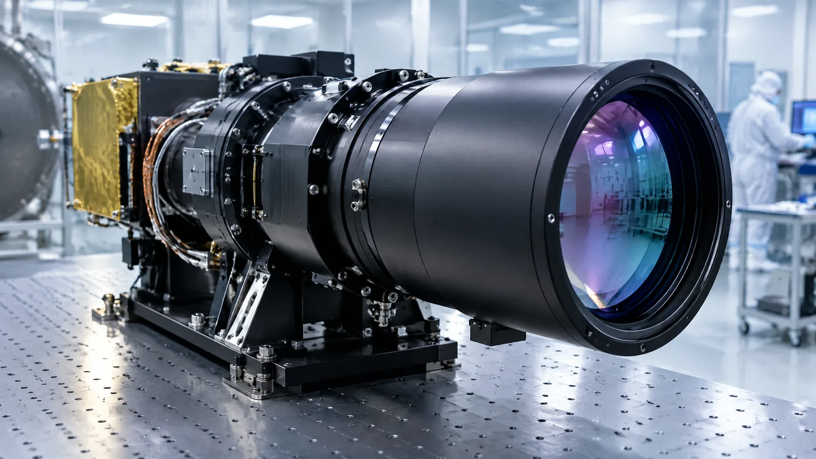
AI-generated editorial illustration; not an actual product or mission photograph.
Source notes
Reporting record
techduopulse stores source destinations privately. Public notes remain non-clickable so every visitor journey stays on this website.
Source note: NASA, Landsat 8 mission page
Primary source · TIRS role, bands, thermal resolution, calibration hardware and water/glacier/urban applicationsSource note: NASA Science Mission Directorate, Infrared Waves
Primary source · Thermal infrared definition and satellite measurement of emitted Earth radiationSource note: NIST, A New, World-Class Facility for Infrared Calibrations
Primary source · Infrared detector responsivity, reference standards and specialised calibrationSource note: Vishay Semiconductors, Designing the VCNL4040 Into an Application
Primary source · Model-specific reflective proximity sensor boundary example; pulsed 940 nm emitter and photodiodeInitial 15 October 2026 India-facing satellite sensor explainer. Distinguishes Landsat 8 TIRS from OLI and generic IR modules, explains its two thermal bands and applications, and qualifies resampling, calibration and land-surface-temperature limitations using only supplied authoritative sources.