When a weather map shows changing sea level or wave conditions, the difficult question is how anyone measures an ocean surface that is constantly moving and far from shore. A satellite radar altimeter answers part of that problem by sending radar pulses downward and measuring the return time to estimate the surface height directly below the spacecraft.
This article is part of the emerging technology science guide library.
Key takeaways
A satellite radar altimeter is an active, along-track ranging instrument, not a camera that creates a wide-area radar image.
Its main measurement is the distance between the spacecraft and the surface; sea-surface height is calculated after combining that range with the satellite's precisely determined orbit and other corrections.
The returned radar signal can also support estimates of significant wave height and near-surface wind, while related missions use altimetry for sea ice, ice sheets and broad topography studies.
Mission-specific instruments such as microwave radiometers and orbit-determination systems support the measurement but are not the physical radar-altimeter sensor itself.
- Active radar ranging
- Narrow track beneath the satellite
- Sea-surface height plus derived wave and wind information
- Useful limits: coverage geometry, corrections and indirect bathymetry
What does a satellite radar altimeter measure?
A satellite radar altimeter measures the distance from a spacecraft to the surface below it. It transmits a short microwave pulse, receives the reflected energy and uses the round-trip travel time to estimate the range. Because the spacecraft's orbital height is also determined, processing can turn that range into a sea-surface-height measurement relative to a reference frame.
This is why the instrument is called an altimeter: it measures height by ranging rather than by taking a conventional picture. The European Space Agency's Newcomers Earth Observation Guide describes radar altimeters as active sensors that measure the surface-topography profile along the satellite track.
The primary observation is not limited to a perfectly calm ocean. The shape and strength of the returned signal contain information about surface roughness. Processing can therefore provide significant wave height and sea-surface wind estimates as well as the main range measurement.
How radar altimetry turns pulse timing into sea level
The measurement has two linked parts. First, the altimeter determines its range to the surface from the radar echo. Second, the mission determines the spacecraft's position and height with precise orbit-determination systems. Subtracting the range from the spacecraft height gives an estimate of the surface elevation, subject to atmospheric, instrumental and geophysical corrections.
The correction step matters because the radar pulse does not travel through empty space only. Atmospheric water vapour, rain and other effects can change the signal path or the returned surface response. On Sentinel-6, the Advanced Microwave Radiometer for Climate, or AMR-C, supplies measurements used for wet-tropospheric delay and attenuation corrections. It supports the altimeter; it is not the altimeter's ranging antenna.
NASA's Jet Propulsion Laboratory explains the same measurement chain in practical terms: the radar return gives the satellite-to-ocean range, while precise orbit determination provides the spacecraft height needed to calculate ocean height. The result is a carefully corrected geophysical measurement rather than a raw radar echo.
Sentinel-6: an example of the instrument in a real mission
Sentinel-6 shows how a modern radar-altimetry payload is assembled. Its primary Poseidon-4 instrument is a nadir-pointing dual-frequency synthetic-aperture-radar altimeter. Nadir-pointing means it looks mainly at the surface directly beneath the spacecraft, which reinforces the narrow-track nature of the observation.
Copernicus Sentinel documentation says Poseidon-4 uses radar range for sea-surface height. It derives significant wave height and wind speed from the normalised radar cross section, a measure of how the surface reflects the signal. The instrument uses Ku-band as the main frequency for surface-height measurement, while its C-band channel supports ionosphere corrections, rain-cell measurements and surface-roughness estimates.
Sentinel-6 also carries systems for precise orbit determination, including GNSS receivers, a laser retroreflector array and DORIS. A radiation environment monitor and other mission instruments have their own purposes. Treating every device on the spacecraft as the sensor would blur an important distinction: Poseidon-4 performs the radar ranging, while the other components improve positioning, correction or mission operations.
What applications does satellite radar altimetry support?
The most familiar application is monitoring sea-surface height and its changes over time. Repeated along-track measurements from compatible missions can contribute to oceanography, climate studies and operational marine information. They help researchers examine ocean circulation and long-term changes without relying only on coastal tide gauges.
Wave and wind products are another application. A rougher ocean surface changes the returned radar signal, so processing the echo can provide significant wave height and information about near-surface wind. These are derived geophysical products, not separate direct readings from a tiny wind sensor inside the altimeter.
Radar altimetry also has applications beyond open-ocean sea level. ESA lists sea-ice extent, the height of large icebergs above sea level, land and ice-sheet topography and some sea-floor-topography studies among the information that can be inferred. The exact usefulness depends on the mission mode, surface type, processing and correction quality.
For beginners, the safest summary is that this sensor measures a surface profile along a flight path and enables several products from the same reflected signal. It should not be described as a wide-area imaging radar or as a general-purpose map of every surface feature.
Important limitations: track, corrections and indirect depth
The first limitation is geometry. A conventional satellite radar altimeter looks along the satellite's ground track, so it samples a narrow path rather than producing the broad swath image associated with synthetic-aperture radar imaging missions. Repeated orbits and multiple missions help build wider scientific coverage, but a single pass is still a track measurement.
The second limitation is dependence on processing. Orbit errors, atmospheric delay, rain, waves, sea state and surface type can affect the result. That is why missions combine the altimeter with precise tracking, radiometry, calibration and quality-control methods. A number quoted without its corrections, reference frame and measurement context can be misleading.
The third limitation concerns the sea floor. NOAA explains that altimetric bathymetry infers broad underwater features indirectly through their gravity-related effect on sea-surface height. It is not a replacement for detailed ship-based echo sounding. A satellite radar altimeter can contribute to global models, but it does not directly measure every ocean depth at high detail.
Frequently asked questions
These answers describe the instrument class in general. Exact frequency bands, processing modes and products vary by mission.
Is a satellite radar altimeter the same as satellite radar imaging?
No. A radar altimeter is mainly a ranging instrument that measures the surface directly beneath the satellite along its track. Radar-imaging instruments are designed to form wider-area images from reflected radar energy.
How does a satellite radar altimeter measure sea-surface height?
It measures the round-trip time of a microwave pulse reflected from the surface, converts that timing into satellite-to-surface range, and combines the range with precise spacecraft-orbit information and corrections.
Does the altimeter directly measure wind and waves?
The radar echo also responds to surface roughness. Mission processing can use that response to derive significant wave height and wind-related information. These are derived products, not separate physical wind and wave probes mounted inside the altimeter.
What is Poseidon-4 on Sentinel-6?
Poseidon-4 is Sentinel-6's primary nadir-pointing dual-frequency SAR altimeter. It provides radar-range measurements for sea-surface height and supports wave-height and wind-speed retrievals from the returned signal.
Can satellite radar altimetry map the ocean floor in detail?
Not by itself. Altimetric bathymetry can infer broad seafloor features indirectly from gravity-related sea-surface variations, but NOAA notes that it is less detailed and less accurate than direct ship-based echo sounding.
About the image
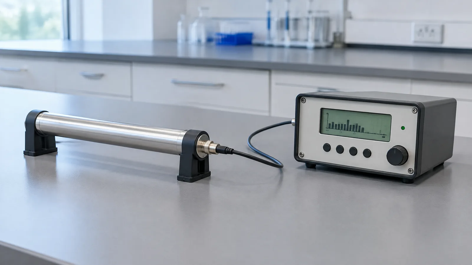
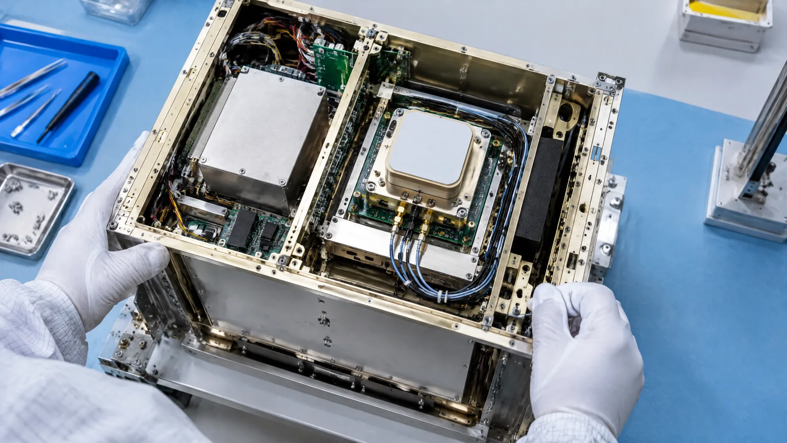
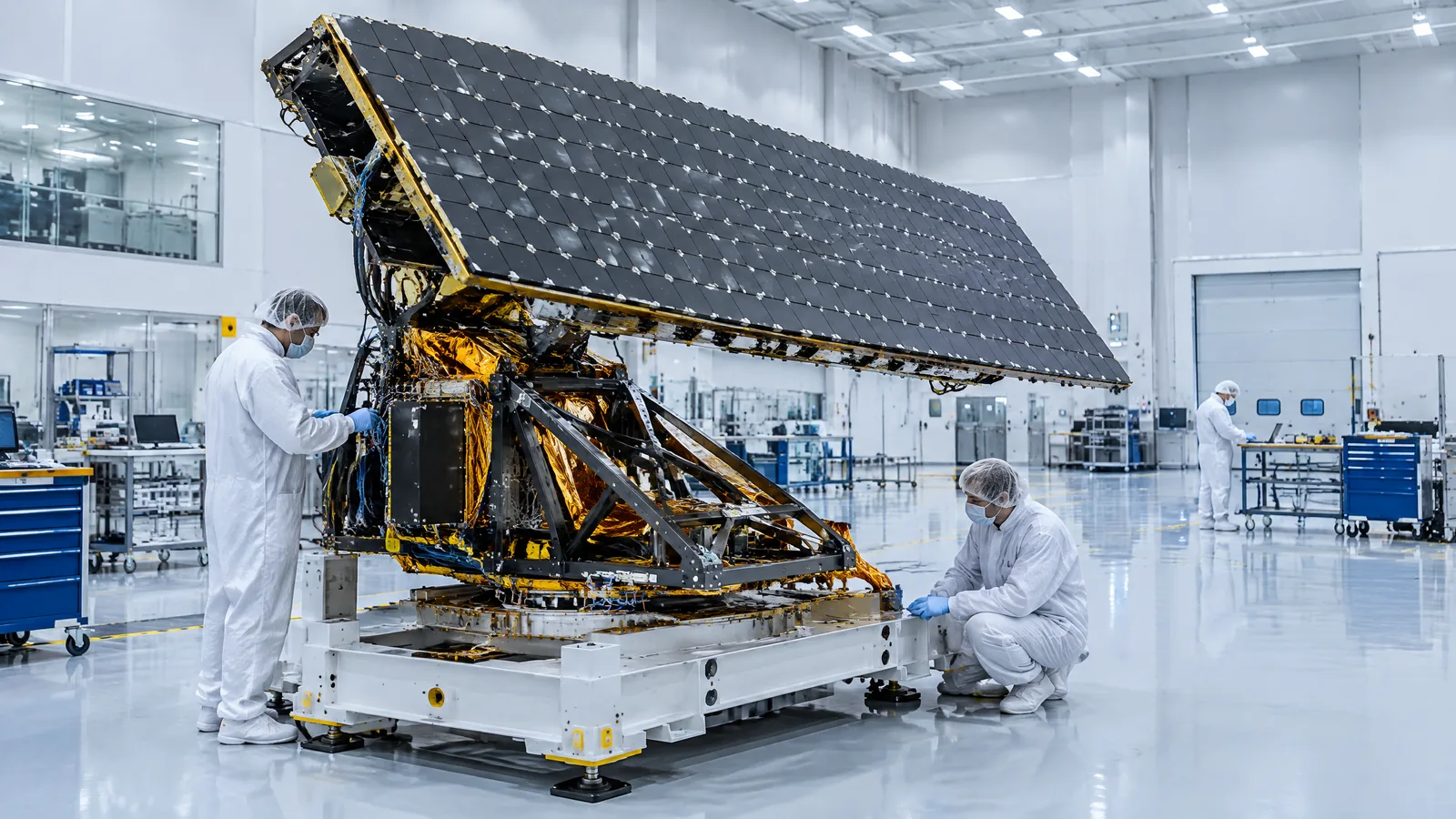
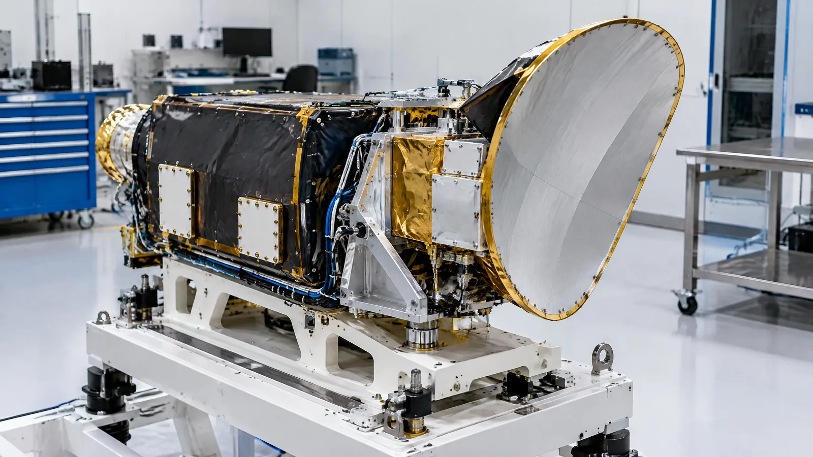
AI-generated editorial illustration; not an actual product or mission photograph.
Source notes
Reporting record
techduopulse stores source destinations privately. Public notes remain non-clickable so every visitor journey stays on this website.
Source note: ESA Earth-observation technical guide
Primary source · Radar altimetry definition, along-track ranging, inferred ocean, ice and topography productsSource note: Copernicus Sentinel-6 instrument payload documentation
Primary source · Poseidon-4 altimeter, SAR mode, sea-surface height, wave and wind retrievals, frequency roles and supporting instrumentsSource note: NASA/JPL Ocean Surface Topography from Space technology explanation
Primary source · Pulse return-time range, precise orbit determination, corrections and narrow directly-under-satellite measurementSource note: NOAA Altimetric Bathymetry explainer
Primary source · Round-trip radar measurement, indirect bathymetry principle and limits versus ship echo soundingInitial 15 October 2026 new-page explainer. Defines satellite radar altimetry as active along-track ranging, explains the range-plus-orbit calculation, uses Sentinel-6 Poseidon-4 as a mission example, separates the altimeter from AMR-C and orbit-determination support systems, and states limits around track geometry, corrections and indirect bathymetry.