When a storm crosses an ocean or a remote area without a rain gauge, the GPM microwave imager helps fill the observation gap from orbit. The GPM microwave imager measures natural microwave brightness signals across 13 channels from 10 to 183 GHz, and algorithms use those signals to estimate precipitation rather than treating the instrument as a radar or a simple rain camera.
This article is part of the emerging technology science guide library.
What the GPM Microwave Imager measures
The GPM Microwave Imager, or GMI, is a passive multi-channel microwave radiometer on NASA and JAXA’s GPM Core Observatory. Passive means it receives microwave energy associated with Earth’s atmosphere and surface; it does not send a radar pulse toward a storm. Its receivers measure radiometric brightness temperature, a signal that changes with the material and atmospheric conditions in the instrument’s view.
GMI has 13 channels spanning 10–183 GHz. Each frequency responds differently to rain, cloud water, ice, snow and water vapour. That variety is the point: one channel is not expected to identify every type of precipitation by itself. The set of channels gives retrieval algorithms more clues about the scene.
NASA describes five channels as especially sensitive to heavy and moderate rain, four as useful for mixed snow and ice layers in clouds, and four as sensitive to water vapour and snowfall. These are sensitivities, not direct one-to-one readings of rainfall rate. The final precipitation estimate depends on algorithms and the conditions being observed.
- 13 channels: 10–183 GHz
- Passive reception of microwave signals
- Frequency-dependent clues about rain, snow, ice and water vapour
How a passive microwave scan sees a wide area
GMI uses a conical-scanning design. Its 1.2-metre antenna and spinning instrument observe a 140-degree sector, producing a swath about 885 km wide. That broad view is useful when meteorologists and researchers need to see the wider footprint of a cyclone or compare observations across a large region.
The instrument also looks at calibration references. NASA describes views of cold space and a hot calibration target, along with receiver and noise-reference hardware. Calibration is not a separate weather sensor; it is part of keeping the radiometric measurements consistent enough for science products and comparison with other satellites.
A wide swath does not mean every part of the scene has the same detail or the same retrieval confidence. Frequency, surface type, precipitation phase and cloud structure all affect how the signal should be interpreted.
- The main reflector directs incoming radio-frequency energy to feed horns and receivers.
- The spin mechanism and control assembly support scanning, power, temperature and data handling.
- Calibration references help the receivers compare observations against known temperature references.
GMI versus DPR: passive imager and active radar
GMI and the Dual-frequency Precipitation Radar (DPR) are complementary instruments, not two names for the same sensor. GMI listens to naturally emitted or precipitation-affected microwave energy across a wide swath. DPR actively transmits radar pulses at Ku and Ka bands and uses returned signals to build three-dimensional observations of precipitation.
NASA gives GMI a swath of about 885 km, while DPR’s swath is 245 km. The wider GMI view helps with coverage and the DPR’s active measurements add vertical structure inside rain and snow systems. Their central swaths overlap, so the paired observations can help improve precipitation retrievals.
This distinction matters when reading a satellite image or product label. A colourful rainfall map is normally a processed estimate. It should not be described as a photograph from GMI, and GMI itself should not be credited with DPR’s three-dimensional radar measurement.
| Feature | GMI | DPR |
|---|---|---|
| Measurement mode | Passive microwave radiometry | Active radar |
| Main signal | Radiometric brightness temperature | Returned radar pulses |
| Coverage described by NASA | About 885 km swath | 245 km swath |
| Useful contribution | Broad frequency clues for precipitation retrievals | Three-dimensional precipitation structure |
How GMI data become precipitation products
A GMI observation is an input to a retrieval process, not automatically a rainfall number. Algorithms interpret the multi-frequency signal using information about the atmosphere, surface and precipitation particles. The GPM constellation then provides observations from additional satellites, and NASA’s IMERG product combines constellation information to estimate precipitation across most of Earth’s surface.
This processing is valuable over oceans and remote regions where ground instruments are sparse. IMERG offers Early, Late and Final runs with different processing and latency choices, and NASA also documents half-hourly products. The product a reader downloads therefore has a processing context that matters alongside the satellite observation itself.
For a practical interpretation, ask three questions: which product and run is being used, what time and grid does it represent, and whether the result has been checked against local observations? Those questions are more useful than assuming that every colour or pixel is a direct measurement at the ground.
- GMI provides calibrated multi-channel observations.
- Retrieval algorithms convert signals into precipitation estimates.
- IMERG combines multiple satellite inputs and processing steps into gridded products.
Limitations to keep in mind
GMI is excellent for broad precipitation monitoring, but it does not remove uncertainty. Different surfaces can produce different microwave backgrounds, and mixed rain, snow and ice can be difficult to separate. A retrieval can also represent an area and time window rather than the exact rainfall at one point at one moment.
NASA notes that IMERG’s satellite mix and overpass times change over time. Remaining differences between sensors and retrievals are less important when studying averages over longer periods, but they matter more when estimating extremes. Local gauges, radar where available and product documentation remain important for decisions that need local precision.
The safest summary is simple: GMI expands the evidence available for estimating precipitation, especially across places with few ground instruments. It is one part of a calibrated observation and retrieval system, not a guarantee that every map value is equally accurate.
GPM Microwave Imager FAQs
These answers distinguish the physical GMI payload from DPR and from downstream precipitation products.
Is the GPM Microwave Imager a radar?
No. GMI is a passive microwave radiometer that receives microwave signals. DPR is the GPM Core Observatory’s active radar instrument, transmitting pulses and analysing their returns.
What does the GPM Microwave Imager measure?
It measures microwave radiometric brightness temperature across 13 channels from 10 to 183 GHz. Those signals provide frequency-dependent evidence about precipitation, cloud water, ice, snow and water vapour for retrieval algorithms.
Can one GMI channel directly measure rainfall?
No single channel should be treated as a direct rain gauge. GMI’s channels respond differently to atmospheric and surface conditions, and precipitation estimates depend on retrieval algorithms and the scene.
Why is GMI useful over oceans and remote areas?
Its broad swath provides satellite observations where ground rain gauges or weather radars may be sparse. Products such as IMERG combine GMI and other satellite information to estimate precipitation across much of Earth’s surface.
Does GMI provide a three-dimensional view of a storm?
Not by itself. DPR provides active radar observations of precipitation structure in three dimensions. GMI supplies broad passive microwave observations that complement those radar measurements.
About the image
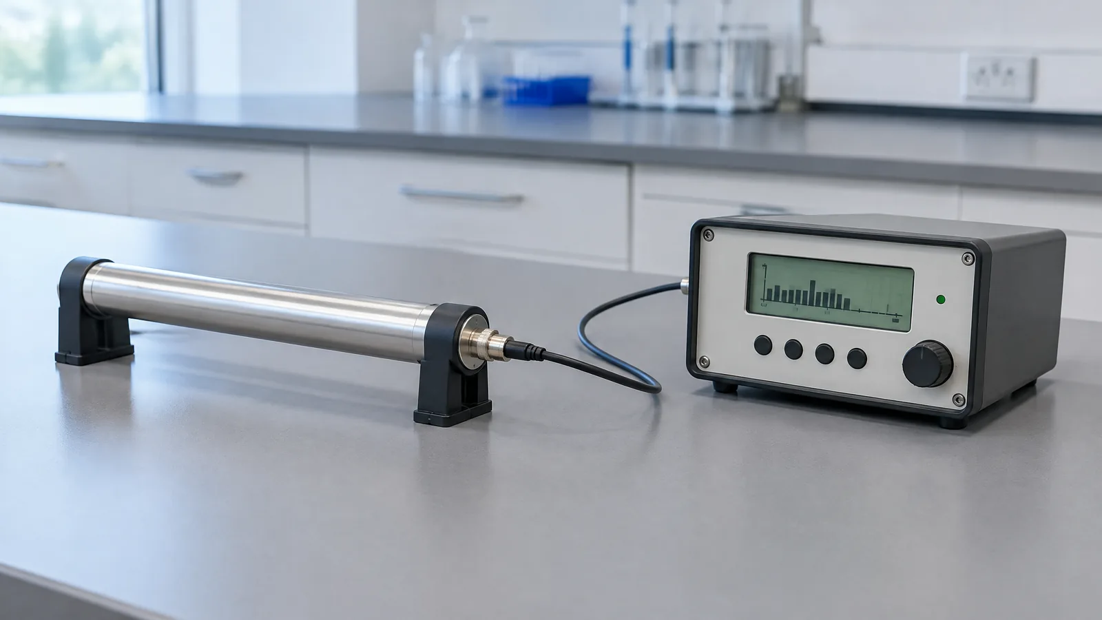
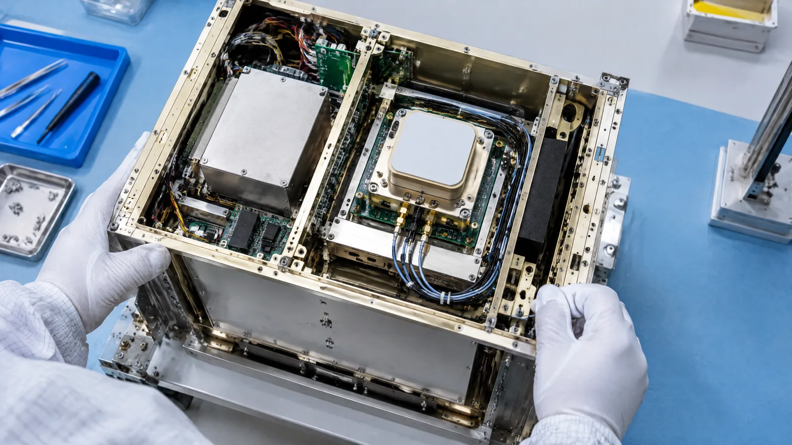
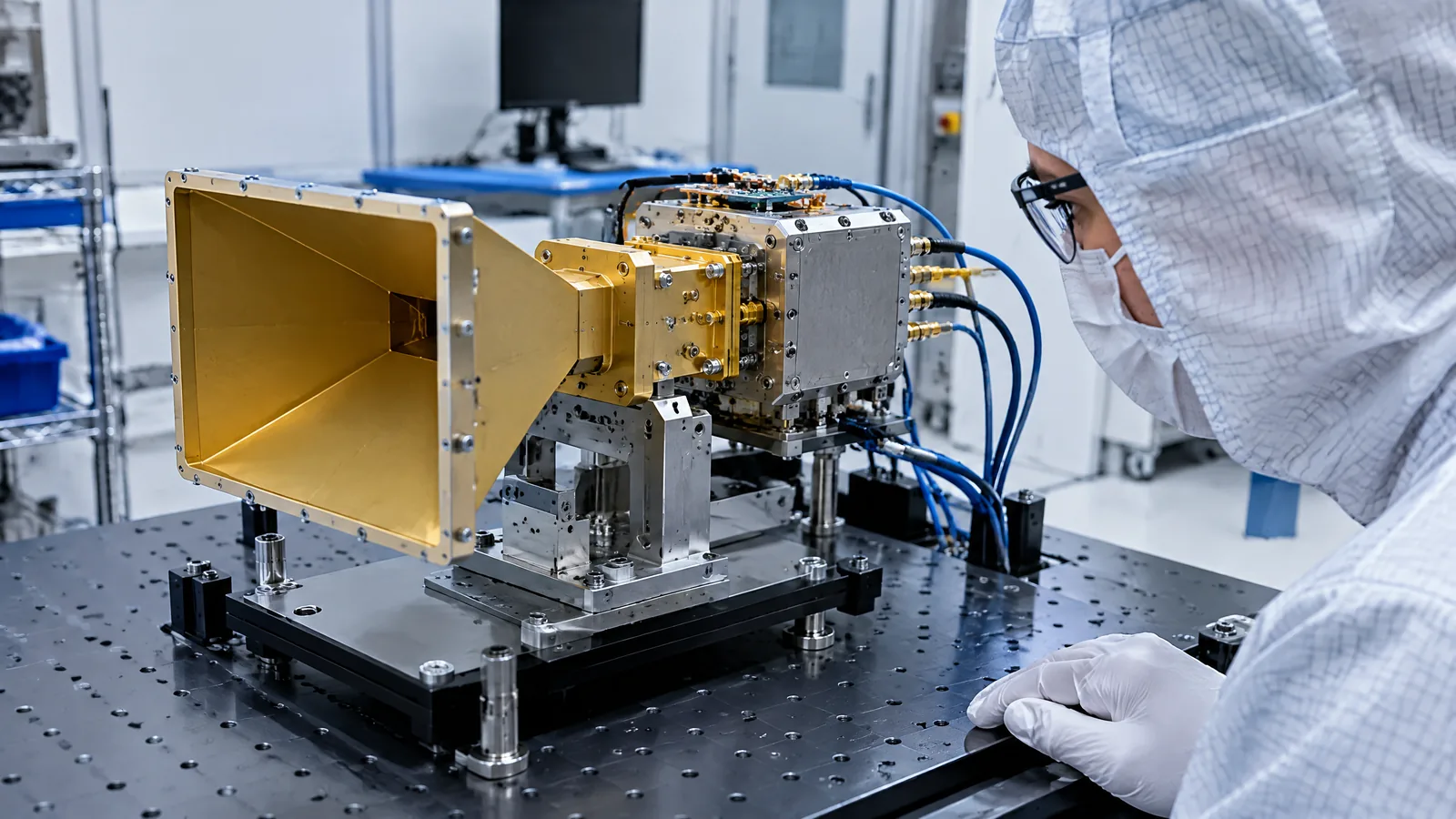
AI-generated editorial illustration; not an actual product or mission photograph.
Source notes
Reporting record
techduopulse stores source destinations privately. Public notes remain non-clickable so every visitor journey stays on this website.
Source note: NASA GPM mission overview
Primary source · Mission concept, GMI channel range and swath, precipitation applications, GMI/DPR complementSource note: NASA GMI instrument overview
Primary source · Passive radiometer design, 13 channels, antenna, scan geometry, calibration and componentsSource note: NASA DPR instrument overview
Primary source · Active radar distinction, Ku/Ka bands, three-dimensional precipitation observations and swathSource note: NASA IMERG product documentation
Primary source · Multi-satellite retrieval process, product runs, cadence and uncertainty/interpretation limitsNew 15 October 2026 explainer for the distinct GPM Microwave Imager application. Separates GMI’s passive 13-channel radiometry from DPR’s active radar, distinguishes physical payload components from retrieval algorithms and IMERG products, and qualifies coverage and uncertainty using NASA primary documentation.