When a weather model needs observations over an ocean or remote region, a normal satellite navigation fix is not the measurement it needs. A GNSS radio occultation receiver listens to navigation signals as they pass through Earth’s limb, then uses their bending and delay to derive profiles of atmospheric and ionospheric conditions.
This article is part of the emerging technology science guide library.
Key takeaways
GNSS radio occultation is a remote-sensing technique, not simply satellite navigation. A dedicated receiver tracks GNSS signals from a low-Earth-orbit satellite while those signals rise or set behind Earth.
The physical measurement is the signal’s changing phase, timing and related observables. Processing turns those observations into bending angle, refractivity and, with appropriate assumptions or background information, quantities such as temperature, pressure, water vapour and electron density.
The method is useful because it can sample globally and in many weather conditions, including places with few balloons or ground stations. Its outputs are profiles and estimates, not direct readings from a sensor placed at every height.
- It uses GNSS transmitters as signal sources and a dedicated LEO receiver as the observing instrument.
- An occultation event scans through changing atmospheric layers as the tangent point moves.
- The lower moist troposphere is harder to interpret because temperature and humidity affect refractivity together.
What does a GNSS radio-occultation receiver measure?
The receiver measures how a GNSS signal arrives at the spacecraft while the signal path changes. UCAR/COSMIC describes the key effects as bending and delay caused by molecules and electrons in the atmosphere. EUMETSAT’s processing guide names raw observables including carrier phase, signal strength or amplitude, signal-to-noise information and pseudorange.
Those are not the same as a local air-temperature reading. The receiver does not descend through the atmosphere and does not touch the air. Instead, the measured radio behaviour is processed with satellite-orbit and signal models to infer a vertical profile along the occultation geometry.
In the neutral atmosphere, the chain can produce bending angle and refractivity, followed by derived profiles of dry temperature, pressure and, when extra information is available, temperature and humidity. In the ionosphere, the signal response can support electron-density or related ionospheric products. The exact products depend on the mission and processing centre.
How the satellite sounding works
Picture two spacecraft: a GNSS satellite transmitting a navigation signal and a low-Earth-orbit satellite carrying the receiver. As the transmitter appears to rise or set behind the Earth’s limb from the LEO satellite, the signal travels through a longer atmospheric path. Refraction changes the path and adds phase delay.
The point on the ray path closest to Earth is called the tangent point. During a typical event, that point moves through layers from higher altitude towards the troposphere, or in the reverse direction. EUMETSAT says an event typically lasts one to three minutes. The receiver therefore collects a time sequence that represents a vertical scan rather than one isolated surface observation.
A useful way to separate the hardware from the result is: antennas and receiver electronics capture radio observables; orbit and clock information establish the geometry; retrieval algorithms convert those observables into geophysical profiles. A COSMIC-style mission is an example of this complete measurement system, not a claim that every payload uses identical hardware.
GNSS-RO receiver versus a navigation receiver
Both systems can listen to signals from GNSS satellites, but their jobs are different. A navigation receiver primarily estimates its own position, velocity and time. A GNSS-RO payload is arranged and operated to observe signals at grazing, rising or setting geometry and preserve the phase information needed to study the atmosphere.
EUMETSAT’s GRAS example makes the distinction concrete: its instrument uses a zenith-pointing antenna for precise orbit determination and separate occultation antennas for rising and setting events. The extra antenna geometry and processing are not implied by the words “GNSS receiver” alone.
This distinction matters when reading a satellite specification. “GNSS receiver” may describe a navigation subsystem, while “GNSS-RO” identifies a specialised remote-sensing instrument and a downstream profile product. Some missions combine both functions, but the brief should identify which signals and outputs belong to which function.
What GNSS radio occultation is used for
Weather services and researchers use GNSS-RO profiles as an additional view of the atmosphere. UCAR lists weather forecasting and atmospheric-process studies, climate monitoring and model verification, and space-weather or ionospheric research. The observations can complement infrared and microwave sounders rather than replace them.
The method is especially useful where conventional observations are sparse. Signals are not dependent on sunlight, and EUMETSAT describes the L-band signals as negligibly affected by clouds, precipitation and aerosols compared with infrared and microwave sounding. That does not mean every retrieval is equally reliable in every layer; it means the measurement has a useful operating advantage for all-weather sampling.
For a data user, the product level matters. A bending-angle file is not the same thing as a temperature-and-humidity profile. Check the mission’s documentation for the processing level, retrieval assumptions, orbit coverage and quality flags before using a profile in an analysis.
Limits and common misunderstandings
GNSS-RO does not directly measure temperature at a single point. Atmospheric temperature, pressure and water vapour are inferred from radio measurements and physical models. In the moist lower troposphere, EUMETSAT notes that temperature and humidity are coupled in refractivity, so additional information may be needed to separate them.
The receiver also does not provide a continuous image of the whole atmosphere. Each occultation samples a narrow, moving ray path, and the locations are distributed according to the geometry of the transmitting and receiving satellites. A constellation increases sampling opportunities, but the result remains a set of profiles that must be assimilated or combined carefully.
Finally, model names should not be treated as universal specifications. Antenna count, GNSS bands, tracking modes, altitude range, orbit and processing levels vary by mission. COSMIC, GRAS and commercial or research payloads can share the GNSS-RO principle without producing identical data.
GNSS radio occultation FAQs
These answers describe the measurement principle and the distinctions supported by the cited technical documentation.
Is GNSS radio occultation the same as satellite navigation?
No. Navigation estimates the receiving spacecraft’s position and time. GNSS radio occultation uses a dedicated LEO receiver to observe how GNSS signals bend and slow while crossing the atmosphere, then derives atmospheric or ionospheric profiles.
Does a GNSS-RO receiver directly measure temperature?
No. It measures radio observables such as carrier-phase changes and signal timing. Retrieval processing derives refractivity and may estimate temperature, pressure and humidity, subject to the layer, assumptions and available background information.
Why are GNSS-RO measurements useful over oceans?
Occultation locations can be distributed globally, including remote areas with few balloons or ground stations. The radio signals can also be observed through many cloud and precipitation conditions, although each profile still has geometry and processing limits.
What does the tangent point mean in radio occultation?
It is the point along the signal path that comes closest to Earth. As the GNSS transmitter rises or sets behind Earth’s limb, the tangent point moves through atmospheric layers and creates the vertical-sounding sequence.
Can every GNSS receiver perform radio occultation?
No. A navigation receiver is not automatically a GNSS-RO instrument. Radio occultation needs suitable antenna placement, tracking of occulting signals and processing designed to retrieve atmospheric or ionospheric information.
About the image
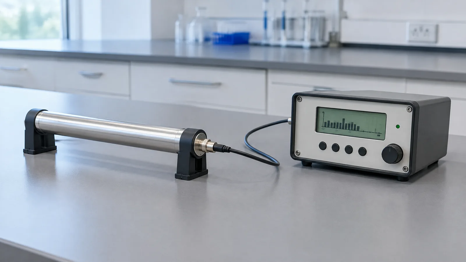
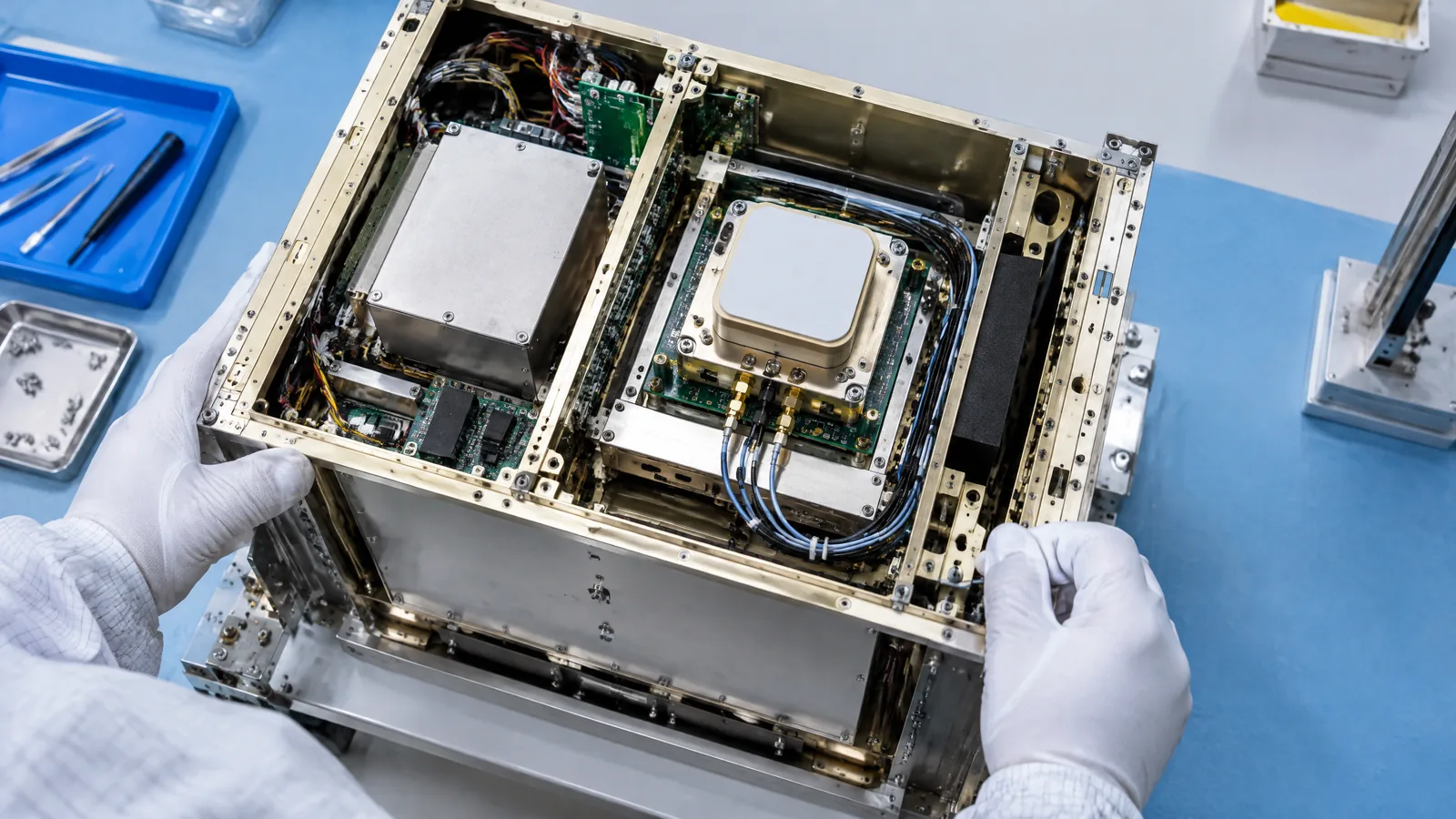
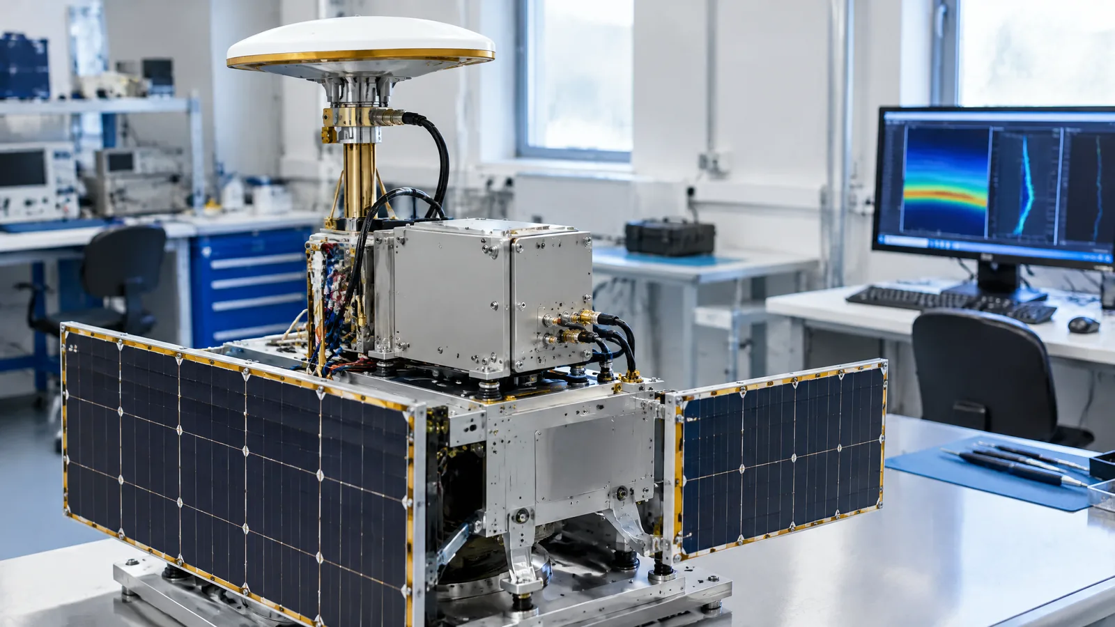
AI-generated editorial illustration; not an actual product or mission photograph.
Source notes
Reporting record
techduopulse stores source destinations privately. Public notes remain non-clickable so every visitor journey stays on this website.
Source note: UCAR/COSMIC technical explainer on GNSS-RO measurement principle and applications
Primary source · Signal bending and delay; derived profiles; weather, climate and ionosphere usesSource note: EUMETSAT radio-occultation product and instrument guide
Primary source · Measurement geometry; observables and processing levels; GRAS antenna roles; lower-troposphere limitationSource note: NOAA/NESDIS GNSS-RO product monitoring page
Primary source · Monitoring product names and experimental-use disclaimerInitial new-page explainer for the satellite sensor expansion. Defines GNSS-RO as a specialised remote-sensing receiver, separates navigation from sounding, explains the signal-to-profile processing chain, distinguishes optional/model-specific instrument elements, and states lower-troposphere and sampling limitations using UCAR, EUMETSAT and NOAA technical evidence.