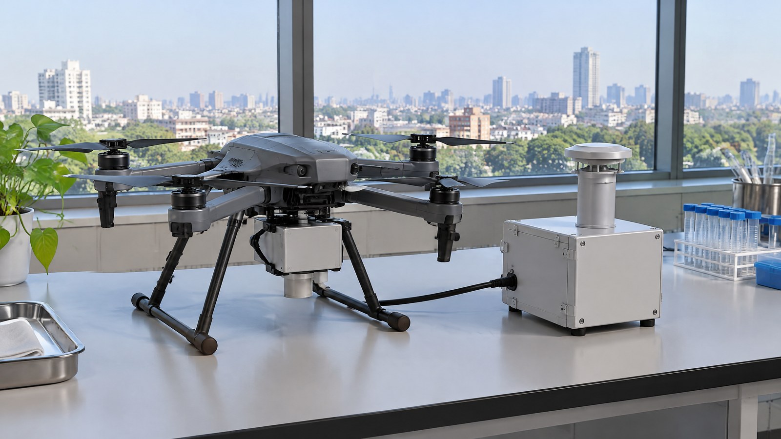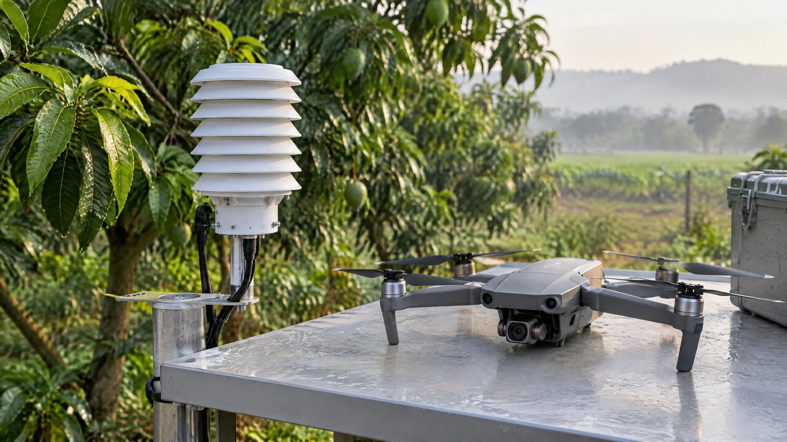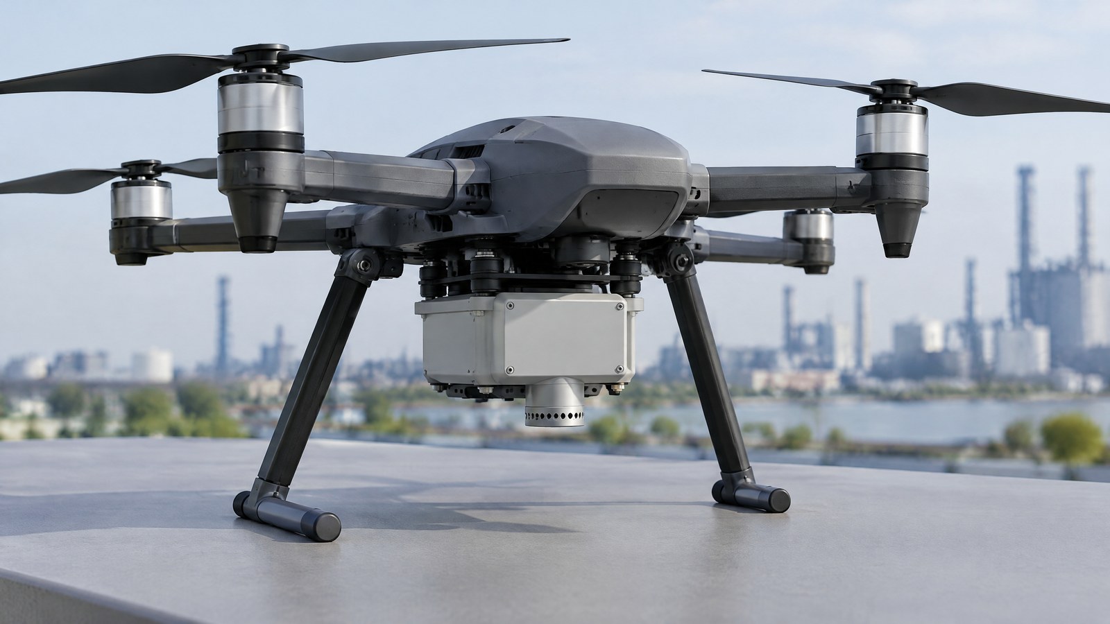
When an industrial or environmental team needs a closer look at a changing air-emissions plume, a civilian drone can carry a drone gas sensor for emissions plume mapping—or an air sampler—to gather observations above difficult ground; the useful result is not a magic leak verdict but a clearer, location-aware starting point for qualified follow-up. This India-focused guide explains what a mobile gas measurement can mean, where its limits begin, and why measurement evidence and permission to fly are separate questions; the hero is an AI-generated editorial illustration of generic civilian drone hardware, not a photograph of a named product or an actual inspection.
This article is part of the computer hardware technology guide library.
How a Drone Gas Sensor Supports Emissions Plume Mapping
A drone gas sensor for emissions plume mapping is a civilian measurement payload, not a standard feature that turns any drone into an emissions monitor. It may record a gas-related signal while the aircraft is in the air, or it may collect air for later laboratory analysis. When readings are associated with place and time, they can help show where an enhancement was observed relative to nearby air. That is useful for environmental screening, inspection planning and research, especially where ground access is awkward. These drone gas sensor for emissions plume mapping basics start with one boundary: a measurement does not establish a source, a health risk, an emissions rate or regulatory compliance on its own. A 2025 Atmospheric Measurement Techniques study describes methane quantification as a method that combines concentration observations with wind data and subsequent analysis, rather than as a number supplied by a single sensor [1].
Sensor versus sampler: two ways to gather evidence
A sensor creates an electronic response as air reaches its sensing element. Depending on the instrument, it may be designed for one target gas, a group of gases or a broad vapour response. A sampler instead captures air for later analysis by a suitable laboratory method. The two approaches can answer different questions: a direct-reading instrument may reveal changing conditions during an observation, while laboratory analysis can be appropriate where chemical identification or a more formal analytical record is needed. Neither label guarantees accuracy or selectivity. The U.S. Environmental Protection Agency notes that common gas sensors can respond not only to their target but also to temperature, relative humidity and other interfering gases; a total-VOC reading in particular cannot normally be assigned to one compound [2].
From readings to a plume map
A plume map is an interpretation of multiple observations, not a photograph of a gas cloud. It can display measured values or relative enhancements at particular times and places, often alongside environmental context. The most honest map shows where observations were made and avoids making unmeasured gaps look certain. A higher response downwind of a facility could be a lead for investigation, but it may also reflect changing wind, another source, an interferent or the instrument’s own behaviour. For that reason, a map should retain the target gas or sensor signal, time window, units where applicable, baseline approach and known uncertainty. The 2025 methane analysis found that coarse spatial data acquisition can miss a plume, a reminder that a smooth graphic may convey more confidence than the underlying observations justify [1].
Finding an enhancement is not the same as estimating an emissions rate
Screening asks whether there is a pattern worth investigating. Quantification asks a harder question: how much gas is emitted over time. For methane, the cited research describes a mass-balance calculation that needs concentration information and simultaneous wind information, plus assumptions about how the plume occupies the sampled air volume [1]. That distinction matters for nonexperts comparing product claims. A gas reading, a colour-coded hotspot and an emissions-rate estimate are different outputs with different evidence burdens. In the study’s analysis of 1,001 historical drone flights, some potential mass-balance errors were on the order of 100 percent; the authors also state that their analysis did not include finite sensor precision or wind-measurement error [1]. That finding is specific to the study’s methane method, not a universal error figure for every civilian UAV survey.
Why the surrounding air can change the answer
Gas concentration at the payload is shaped by dilution, wind, terrain, nearby sources and the changing position of the plume. The instrument adds its own limits: response and recovery behaviour, calibration drift, interference, inlet design and the effect of heat or humidity can all influence a result. The EPA guidebook says electrochemical and metal-oxide gas sensors may respond to temperature, relative humidity and other gases, and may lose sensitivity with time [2]. In a methane UAV research paper, the authors also discuss uncertainty caused by propeller turbulence in one vertical-measurement context [6]. These are reasons to record conditions and interpret a reading as a measurement with limits, rather than as a self-explanatory fact.
Important Points / Key Information
Key Takeaways
- A civilian air-emissions gas sensor/sampler measures a defined gas signal or collects air; it does not automatically identify every chemical, prove a source or certify a site.
- A plume map is useful for showing time-and-location-linked observations, but wind, gaps between observations, interference and instrument condition can change its meaning.
- A passed function check is not the same as a calibration that supports an accurate concentration reading.
- For an intended Indian operation, consult current official DigitalSky and DGCA or eGCA information for the actual place, date, aircraft and activity before treating a flight as permitted.
Air-emissions gas sensor/sampler limitations: what a reading cannot establish
The strongest use of a civilian UAV gas measurement is a carefully qualified observation: for example, an instrument detected a target-gas enhancement or changing response at a recorded location and time. The conclusion should go no further than the instrument’s target, validated range and documented uncertainty allow. A broad VOC indication cannot name every chemical. A methane enhancement cannot by itself tell who caused it. A single low reading cannot demonstrate that an entire area is clear. The EPA distinguishes portable air sensors from reference monitors and says data quality may vary with the sensing technology, components, weather conditions and operation [2]. This is also why a payload intended to measure gases should not be confused with a particulate-matter sensor: particles and gases use different measurement approaches and answer different monitoring questions.
Calibration, validation and context
A precise-looking display is not proof that the number is accurate in the field. The Occupational Safety and Health Administration defines calibration as relating an instrument’s measuring accuracy to a known traceable test-gas concentration. Its 2024 guidance also separates a bump or function test from a calibration check: the former confirms that challenge gas can reach the sensor and alarms operate, but does not measure accuracy [3]. This workplace guidance is not a drone-specific or Indian procedure, yet the distinction is useful. A responsible civilian measurement programme needs the complete instrument’s documented target gas, specifications, maintenance history, manufacturer instructions, appropriate quality checks and an interpretation plan. For formal environmental, occupational or compliance decisions, use the competent laboratory, reference method and qualified assessment required by the applicable setting instead of treating an airborne payload as conclusive evidence.
India: make a current official check before any civilian operation
The extra sensor does not create authority to fly. DigitalSky, the Airports Authority of India portal, presents the Drone Rules, 2021 and Amendment Rules, 2022, an airspace-map link and an online flight-plan process. Its current public information describes green, yellow and red airspace categories; it says yellow-zone operations require permission from the concerned air traffic control authority and red-zone operations require Central Government permission [4]. The Ministry of Civil Aviation’s Drone Rules backgrounder says the airspace map may be modified and that a person planning an operation should check the latest map for zone-boundary changes [5]. Check the live official sources for the specific location and date, as well as applicable DGCA or eGCA processes, landowner or site access, workplace and environmental obligations. This explainer is not a flight authorisation or legal interpretation.
Examples / Supporting Information
Civilian drone gas sensing is most useful when a decision-maker is clear about the question being asked. The examples below distinguish published research from a hypothetical Indian use case. Neither is a recipe for operation, an endorsement of a particular product or evidence that a flight is permitted at a particular site.
Research example: methane near a wastewater-treatment sludge deposit
A 2021 paper in ACS Earth and Space Chemistry reported a research system that mapped methane hotspots and estimated total methane emissions around a wastewater-treatment sludge deposit. The authors used this case because rough, variable surfaces can make some conventional surface methods difficult, and they recorded methane, wind and environmental context as part of their method [6]. The paper is useful supporting information because it shows that a civilian drone can be part of a serious measurement campaign. It also documents method boundaries: horizontal hotspot mapping and vertical mass-balance estimation are not interchangeable, and propeller-related turbulence complicated one part of the interpretation [6]. This was a specific research system and site, not a claim that every payload can reproduce its findings or a finding about an Indian facility.
Hypothetical India example: deciding what follow-up is warranted
Imagine a hypothetical environmental consultant asked to explore inconsistent methane indications near a managed waste or biogas site in India. If the intended civilian operation is lawful and appropriately managed, an instrumented drone could add location-and-time observations to other evidence. A repeating enhancement might help the team decide whether fixed monitoring, ground sampling, equipment inspection, laboratory analysis or a qualified environmental assessment is warranted. It would not establish a statutory breach, a precise source or an emissions rate by itself. The decision should therefore be framed as ‘what additional investigation is justified?’ rather than ‘has the drone proved the answer?’ That wording protects the distinction between a screening signal and a conclusion with legal, health or environmental consequences.
Choose the evidence goal before comparing payloads
Before comparing a sensor or sampler, define the target gas, whether the desired output is a relative screen, a mapped pattern, a laboratory sample or a defensible quantified estimate, and who is qualified to interpret it. Ask how the instrument handles cross-sensitivity, environmental conditions, drift, its stated range and response behaviour, data traceability and validation. Also keep airspace compliance, site permission and measurement quality as separate workstreams. That is the purpose of civilian UAV sensor education: knowing the gap between an observation and the decision it may support. A technology that combines aircraft, payload, logging and analysis belongs to the broader world of physical systems, but the resulting chart is only as credible as the purpose, documented limits and evidence behind it.
Conclusion
An air-emissions gas sensor/sampler gives a civilian drone a way to observe gas-related conditions where a ground-only view may be incomplete. Its value is in well-described evidence: the target, the measurement context, the time and location of observations, instrument limits and a cautious conclusion. It is not a universal chemical identifier, a personal-safety device, an automatic leak verdict or a substitute for qualified environmental assessment. For Indian readers, the sensible order is to define the evidence question, understand the payload’s documented limits and make current official checks for the intended civil operation. That approach keeps the map useful without asking it to prove more than the data can support.
Source notes
Reporting record
techduopulse stores source destinations privately. Public notes remain non-clickable so every visitor journey stays on this website.
Drone methane mass-balance uncertainty can be substantial when plume sampling and wind assumptions are inadequate.
Primary source · How a Drone Gas Sensor Supports Emissions Plume MappingGas-sensor responses can be affected by temperature, humidity, interference and sensor ageing.
Primary source · What the reading can and cannot establishA function check is different from an accuracy calibration against known traceable test gas.
Primary source · Calibration, validation and contextDigitalSky publishes airspace-zone information, a current airspace-map link and an online flight-plan process.
Primary source · India: make a current official check before any civilian operationThe official Drone Rules backgrounder says the airspace map may be modified and should be checked for current boundaries.
Primary source · India: make a current official check before any civilian operationA research case study used an instrumented civilian UAV to map methane at a wastewater-treatment sludge deposit while documenting method limits.
Primary source · Research example: methane near a wastewater-treatment sludge depositInitial civilian drone-sensor explainer; sources and AI-generated illustrative imagery reviewed before publication.