Satellite positioning can be weak or unavailable inside a building, yet an indoor inspection still needs people to understand where a civilian drone is in relation to its prepared work area. A drone UWB ranging sensor for indoor inspection can contribute local distance measurements, but it cannot inspect an asset, prove a space is safe, or make an operation compliant by itself.
This article is part of the computer hardware technology guide library.
How a Drone UWB Ranging Sensor for Indoor Inspection Works
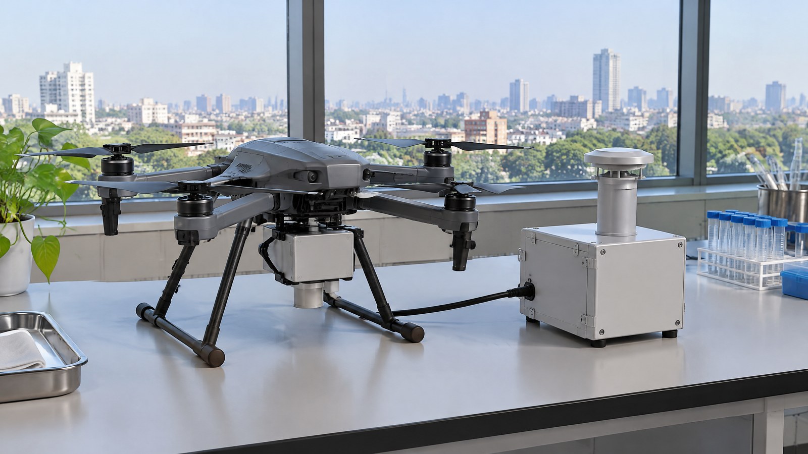
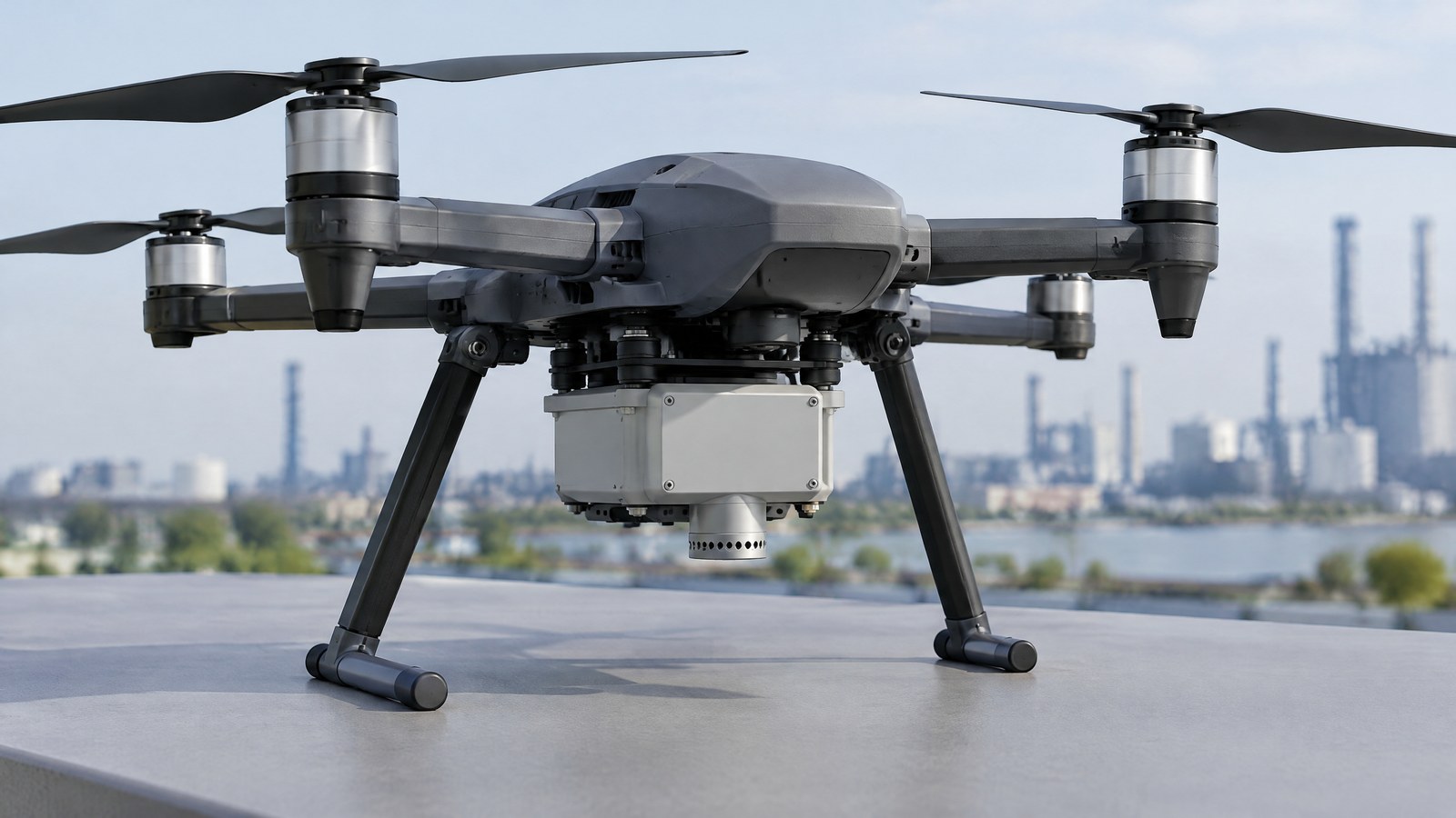
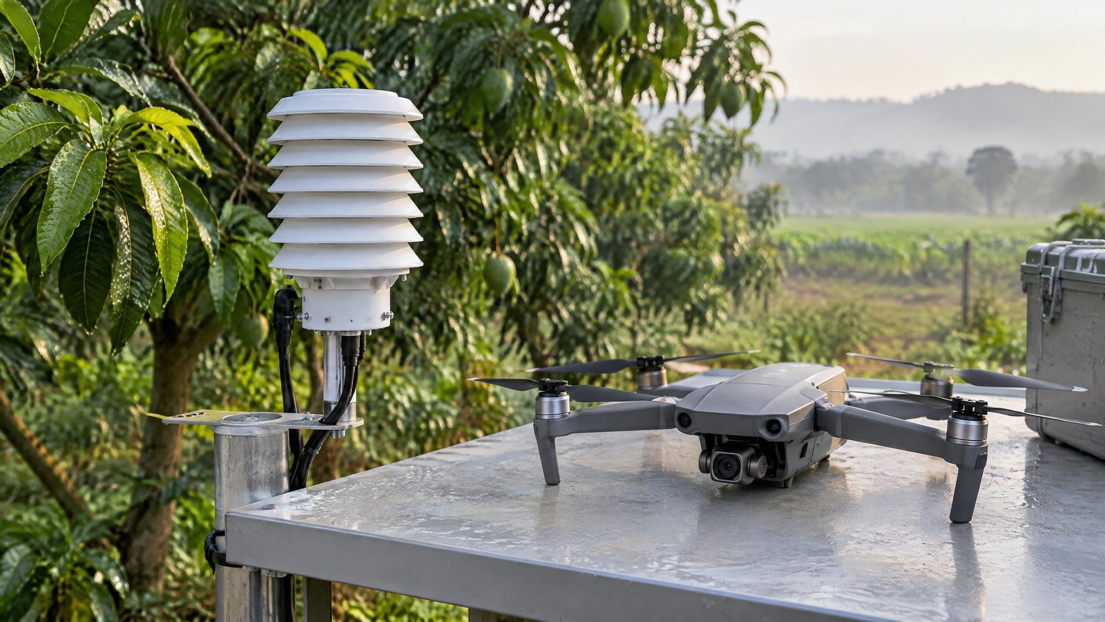
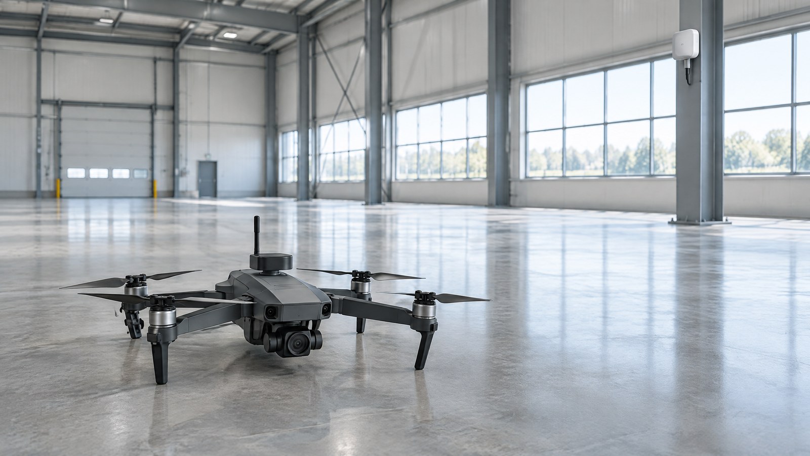
AI-generated editorial illustration of generic civilian drone hardware, not a photograph of a named product or an actual inspection.
Ultra-wideband, usually shortened to UWB, is a radio technology that can measure the relationship between compatible nearby devices with very fine timing. In a civilian indoor-inspection context, the useful mental model is a local measuring link: a UWB device on the drone exchanges radio messages with compatible fixed reference points, often called anchors, or with another participating UWB device. The resulting measurement is a range between radios, not a picture, a material diagnosis or a global address.
What the Radio Measurement Represents
A ranging result says how far apart two participating radio endpoints appear to be under the conditions of that measurement. It does not tell the drone what an object is, whether a surface is sound, or whether a route is clear. A camera, thermal imager or other inspection payload may collect different evidence, while qualified people still decide what that evidence means. This distinction matters when a product description uses the word “positioning”: position is an estimate derived from measurements and assumptions, not a direct assessment of the building or equipment.
UWB is also not the same thing as an obstacle-awareness sensor. It needs a compatible peer or prepared local infrastructure, whereas an obstacle-sensing instrument is intended to observe a surrounding surface or object. Nor is UWB Remote ID: Remote ID is a broadcast function or module that can use location inputs, rather than a physical UWB ranging sensor.
Time of Flight and Two-Way Ranging
The basic principle is time of flight. Radio signals travel extremely quickly, so the system records carefully timed message exchanges and estimates how long the signal took to travel. Multiplying that estimated travel time by the speed of light produces an estimated distance. The Nature Scientific Data UAV dataset describes moving UAV nodes and fixed base-station nodes exchanging ranging messages; it uses double-sided two-way ranging to reduce clock-drift effects before deriving distance from the time estimate [2].
The word “estimate” is essential. Electronics must separate the direct radio arrival from delayed reflections, allow for timing uncertainty and cope with partial blockage. A UWB system may report a plausible number even where the direct path is impaired, so a displayed distance must be understood alongside the site, the system’s quality information and the inspection team’s procedures. This article explains the principle only; it does not prescribe hardware placement, settings or automated flight behaviour.
From Distance Circles to a Local Estimate
One UWB range constrains a drone to somewhere on a circle around one reference point in a simplified two-dimensional view, or on a sphere in three dimensions. Measurements to multiple references can be combined by software into a local position estimate. That estimate remains local to the known reference layout. It does not become a worldwide coordinate simply because the drone also has a GNSS receiver.
For a benign inspection scenario, a facilities team might use a prepared local reference network to help maintain an understandable position record while it reviews imagery of a non-sensitive indoor asset. That is a hypothetical example, not a claim about a named deployment or a recommended setup. The useful question for a buyer is not whether UWB is “precise” in the abstract, but whether the complete system identifies uncertain ranges, documents the intended environment and has been evaluated for the actual site.
UWB, GNSS and Optical Distance Sensors Have Different Jobs
GNSS uses satellite signals to estimate a broader geographic position when satellite visibility and signal conditions permit. UWB instead depends on nearby participating devices or infrastructure, which can make it relevant inside a prepared building but also limits it to that local system. A light-based time-of-flight distance sensor sends and receives light to estimate the distance to a surface; it is a different measurement path with different effects from surface properties and lighting. None of these instruments is a substitute for a complete safety process or a condition assessment.
This separation prevents two common misunderstandings. First, adding UWB does not turn a civilian drone into a survey-grade mapping system. Second, a good UWB range does not verify that an obstacle has been detected. A well-described inspection system states which payload produces the evidence, which system provides local spatial context and which people are responsible for interpreting the result.
Important Points / Key Information
Key Takeaways
- A UWB ranging sensor measures distance to compatible nearby radios; it does not independently see, identify or assess an indoor asset.
- Local position estimates need a prepared reference system and are not a replacement for GNSS or a universal obstacle-awareness capability.
- Line-of-sight performance cannot be assumed through concrete, metal, walls, machinery or a changing indoor radio environment.
- The sensor does not replace the pilot or operator, site permission, safety planning, qualified inspection judgement, or India’s current official compliance checks.
Why Accuracy Claims Need Context
UWB’s fine timing can be valuable, but the most important limitation indoors is the radio path. The National Institute of Standards and Technology explains that in non-line-of-sight conditions the first arriving signal can be weakened or obscured by reflections, and that wall materials add delays that cannot be fully corrected when the intervening materials are unknown [1]. Metal can be particularly disruptive because it blocks or reflects the direct path.
NIST’s building study is a useful warning against headline accuracy claims. With that study’s nominal 6 GHz system, line-of-sight tests up to 45 m across four buildings produced a 5 cm mean range error. In non-line-of-sight tests, the reported mean error changed with construction material, and the steel-building case degraded rapidly beyond 15 m [1]. Those are controlled results from one research system, not a promise for a particular drone, sensor, building or inspection. A vendor’s number should therefore be read with its test conditions, not transferred without evidence to a different Indian facility.
What UWB Cannot Decide
A range reading cannot determine whether a crack, hot component, leak, contamination issue or structural concern exists. It cannot prove a corridor is free of hazards, establish that an inspection image is complete, or make a drone’s operation safe. At most, it can be one local spatial input among inspection evidence, site controls and accountable human decisions. Treat a sudden jump in a reading as a reason to review conditions and evidence, not as a diagnosis.
A careful civilian UAV sensor education process separates three questions: what a payload measured, how reliable that measurement was in the location, and what a qualified person should do with the result. Keeping them separate makes it less likely that a radio-ranging specification is mistaken for an engineering verdict.
India: Check the Current Official Position for the Specific Operation
A UWB-equipped drone is still a drone operation, not merely an indoor electronics experiment. The Airports Authority of India’s Digital Sky platform currently publishes the Drone Rules, 2021 and Amendment Rules, 2022, an airspace map and a flight-planning process. Its zone guidance states that Yellow Zone operations require permission from the concerned air traffic control authority, while Red Zone operations are permitted only by the Central Government [3].
Whether a proposed indoor job has other applicable requirements depends on its location, equipment, operator, property access and the current rules. Do not infer a blanket exemption from the presence of a roof or a UWB sensor. The Ministry of Civil Aviation’s Drone Rules backgrounder says authorised entities may modify airspace-map boundaries and tells intending operators to check the latest map [4]. Before any civilian operation in India, consult the current Digital Sky map and relevant DGCA or eGCA guidance for the specific facts, as well as site-owner permissions and applicable safety processes. This is a current-check reminder, not legal advice.
Examples / Supporting Information
Consider a hypothetical inspection of a non-sensitive indoor facility asset where satellite signals are not useful. A UWB-capable drone and local reference system might provide a local distance and position context for separately captured visual or thermal evidence. The range information could help a team keep records intelligible within that prepared work area, but it would not tell the team whether the asset is defective, whether every surface was observed or whether conditions are safe. Those conclusions require the appropriate inspection method and responsible people.
Published research shows why this distinction is practical rather than merely semantic. The Nature Scientific Data UAV dataset included an indoor venue measuring 18 m by 15 m by 8 m, with electronic equipment and metal reflectors. Its authors reported that indoor positioning errors were chiefly distributed in different bands for two test tasks, while some points exceeded 1 m and were attributed mainly to electromagnetic interference [2]. The study supports the need to evaluate a local radio system in its own environment; it does not validate any retail drone or prescribe a civilian inspection operation.
When comparing civilian drone UWB offerings, look for a clear statement of what is measured, the compatible endpoints required, the intended indoor environment and how unreliable readings are communicated. Equally important are the boundaries: whether the claim concerns local ranging rather than obstacle detection, whether image or thermal evidence comes from a separate payload, and whether the operator still has an approved site and compliance process. A specification that omits these boundaries is incomplete, even if it quotes a small number.
Conclusion
A civilian drone UWB ranging sensor can be useful local infrastructure for indoor inspection awareness because it measures distance between compatible radios when satellite positioning is not the right tool. Its value lies in a carefully described local measurement role, not in a claim that it sees assets, guarantees accuracy, replaces other sensors or authorises a flight.
For readers in India, the sensible interpretation is straightforward: assess the full inspection system and its site-specific limitations, keep UWB results separate from condition judgement, and make the current official Digital Sky and DGCA or eGCA checks part of planning. That approach respects both the capability of the radio measurement and the responsibilities that no sensor can take over.
Source notes
Reporting record
techduopulse stores source destinations privately. Public notes remain non-clickable so every visitor journey stays on this website.
Time-of-flight UWB building measurements: line-of-sight results and wall- and material-dependent non-line-of-sight limitations.
Primary source · Why Accuracy Claims Need ContextUAV-to-base-station ranging-message method and reported indoor radio-interference context.
Primary source · How a Drone UWB Ranging Sensor for Indoor Inspection WorksCurrent official airspace-zone descriptions, map availability and flight-planning information.
Primary source · India: Check the Current Official Position for the Specific OperationOfficial Drone Rules backgrounder on the airspace-map framework and checking the latest map.
Primary source · India: Check the Current Official Position for the Specific OperationInitial civilian drone-sensor explainer; sources and AI-generated illustrative imagery reviewed before publication.