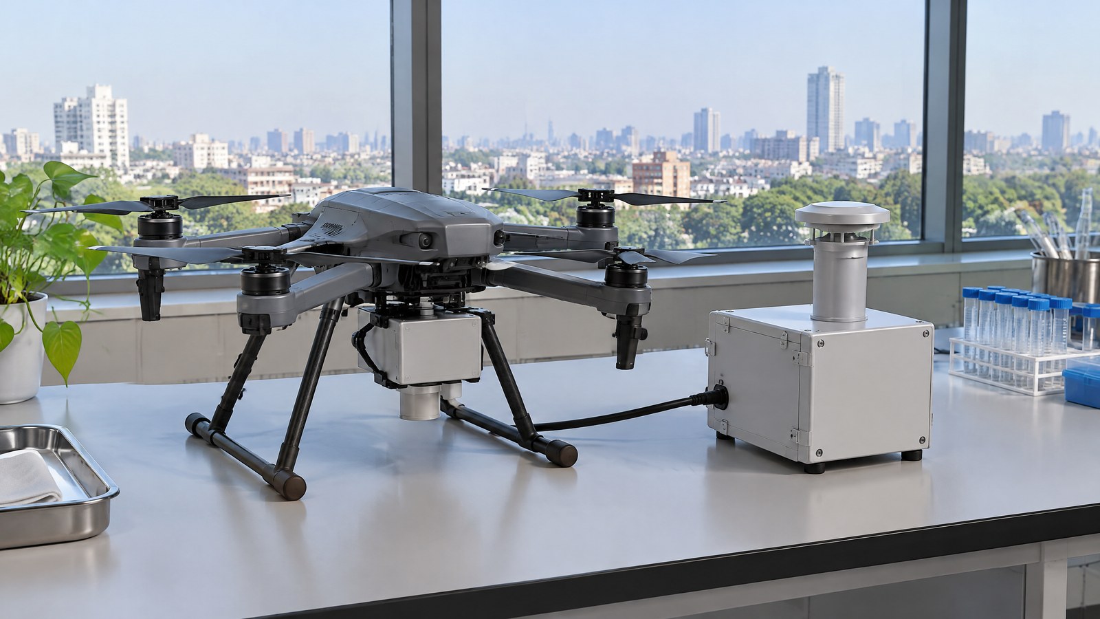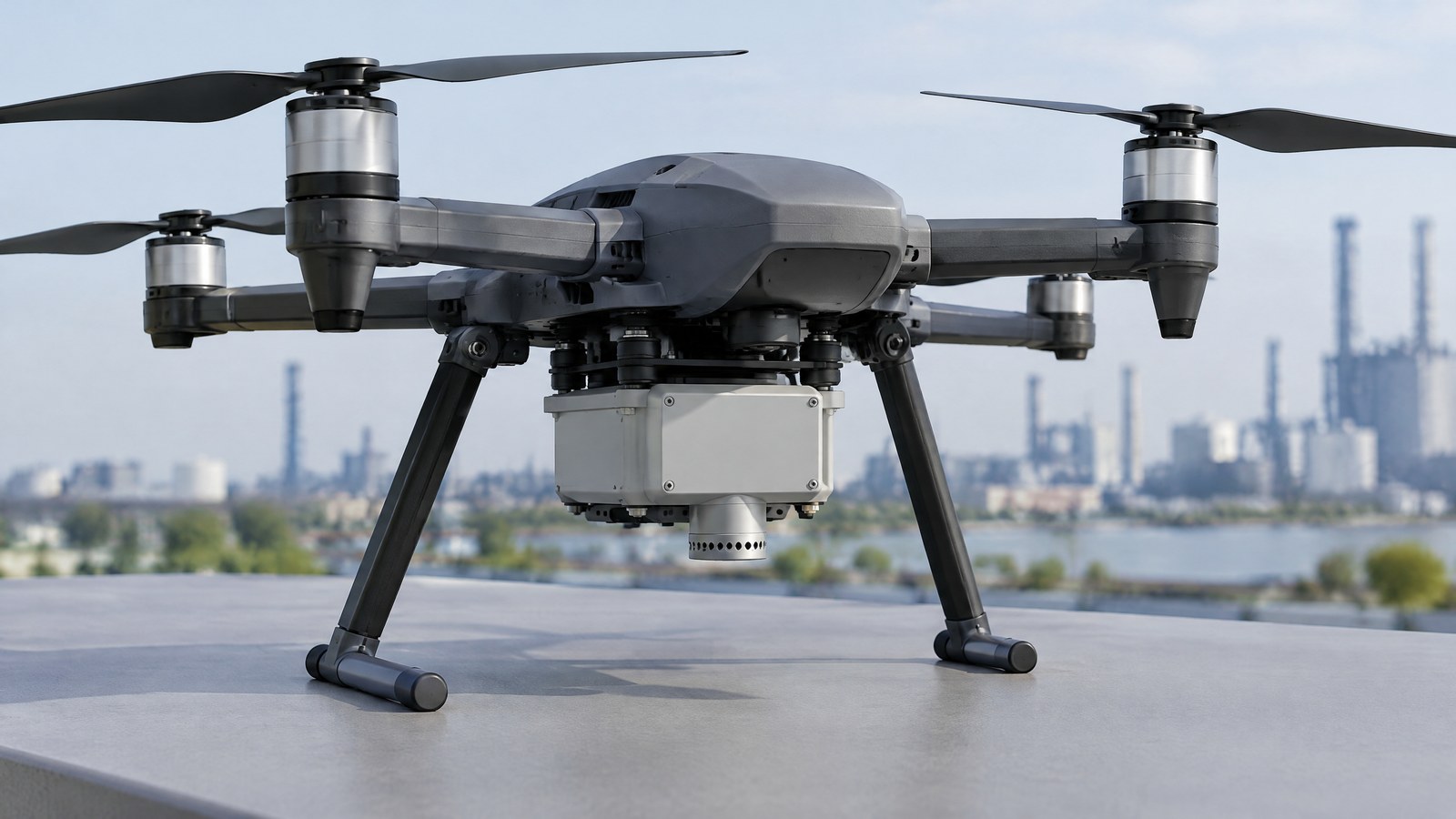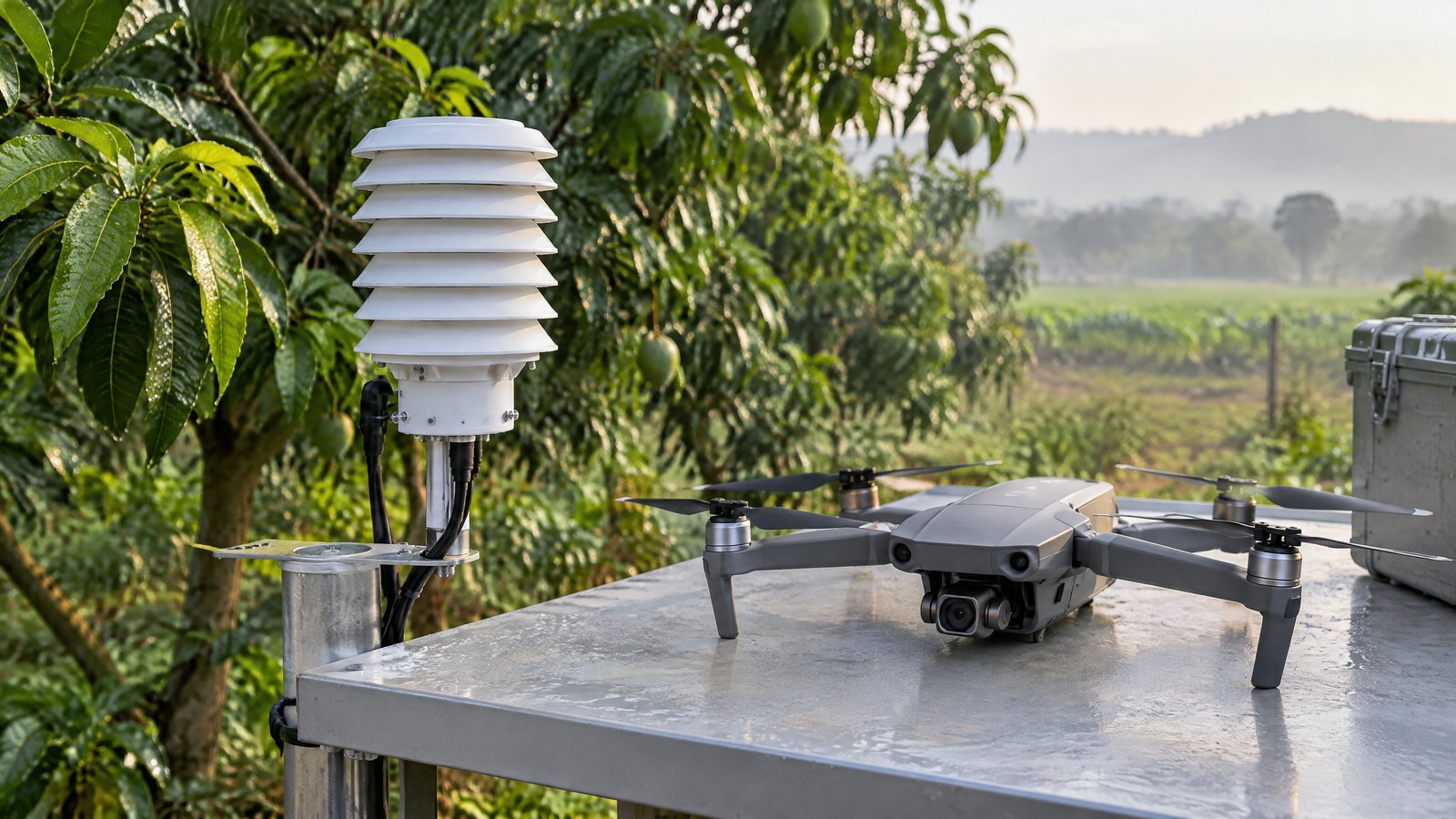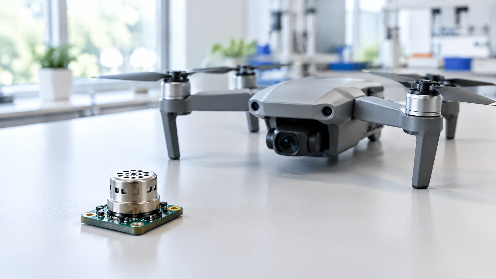
An altitude number on a civilian drone screen can feel precise just when terrain, weather and permissions make a careless interpretation risky. Understanding the drone barometer altitude sensor helps an Indian operator distinguish a useful vertical-change estimate from a claim about ground clearance or regulatory compliance. AI-generated editorial illustration of generic civilian drone hardware, not a photograph of a named product or an actual inspection. It is included to introduce the subject and does not verify a component design, a flight condition or an inspection result. A barometric altitude sensor measures surrounding air pressure. Because pressure generally falls as altitude rises, the drone’s software can turn a pressure change into an estimated change in height. That is valuable context in civilian aerial work, but the result always depends on the reference, the atmosphere and the rest of the system. It is not a direct measurement of the distance to the ground below.
This article is part of the computer hardware technology guide library.
How a civilian drone barometer estimates altitude
The short answer to ‘drone barometer altitude sensor explained’ is that the sensor observes ambient static pressure and a system interprets that observation as altitude relative to a chosen reference. NASA Glenn explains the physical basis: at a higher altitude there is less air above, so atmospheric pressure decreases. Its standard-atmosphere model is an averaged model, however, while the real atmosphere changes with time and place. [1]
This makes the barometer especially useful for observing a pressure trend during a change in level. It does not give the drone a built-in map of terrain, a measurement tape to the ground, or authority to decide where it may operate. A careful reader should ask two questions before relying on any altitude label: ‘relative to what?’ and ‘which other data, if any, is being shown with it?’
It reads surrounding pressure, not distance to a surface
A barometric altitude sensor is an aneroid-barometer class of measurement. The FAA’s Pilot’s Handbook of Aeronautical Knowledge describes the underlying mechanism: static atmospheric pressure acts on sealed aneroid wafers, whose expansion or compression is converted into an altitude indication. The important civilian-drone takeaway is simpler: the physical input is air pressure at the aircraft, not a direct range to a roof, tree, slope or landing area. [2]
That difference matters on uneven terrain. A drone launched from one location may show a relatively small change from its take-off reference while the land underneath rises. The display can still be internally useful as a relative pressure-based indication, yet it cannot independently demonstrate how much clearance exists above the local surface. A downward ranging sensor, where fitted, is a different kind of measurement with a different reference and range limit. DJI’s technical documentation separately lists downward ToF or ultrasonic distance as a measurement to a hard object below, rather than the same thing as barometric altitude. [3]
Altitude labels need a reference point
The same word—altitude—can describe different quantities. A relative take-off value describes the vertical difference from where the aircraft started. A pressure-based value associated with a standard sea-level atmosphere uses an atmospheric reference. A satellite-derived or RTK-derived value refers to a geographic coordinate framework, not to pressure. A downward distance refers to the object below. These are not interchangeable just because they appear on one interface.
DJI’s Flight Altitude documentation illustrates the distinction for its own ecosystem. It says relative take-off altitude is based on the aircraft’s take-off point, while its fusion altitude uses standard atmospheric pressure as a starting point; it also presents GPS, RTK and downward ranging as separate sources or outputs. This is a manufacturer-specific vocabulary, not a universal drone specification, but it makes a sound general point: read the label and reference before comparing values. [3]
For a nonexpert, ‘relative to launch point’ is often the most useful mental model for a pressure-based drone display. It is not the same as above ground level at every point of a route, height above mean sea level, or an approved operational ceiling. The number becomes more meaningful when its reference and limits are stated alongside it.
Weather and temperature can change the interpretation
A pressure-to-altitude calculation relies on an atmospheric relationship that is only an approximation of real conditions. NASA Glenn notes that weather reflects time- and place-dependent changes in atmospheric properties, while its standard-atmosphere curves assume pressure and temperature change only with altitude. [1] A pressure shift caused by weather is therefore not identical to an altitude change, even though both can affect a pressure reading.
The FAA guidance adds two practical limits. Pressure and temperature may change even during a local flight, and correcting for nonstandard pressure does not correct nonstandard temperature. It explains that in colder-than-standard air, true altitude may be lower than an altimeter indicates. [2] That conventional-aviation guidance does not supply a drone product accuracy figure; it does show why an unqualified barometric display should not be treated as a terrain-clearance guarantee.
Temperature, humidity and atmospheric conditions that vary with time and place can also matter to the overall interpretation. DJI expressly cautions that temperature and humidity do not fully conform to the standard model and says its absolute value from relative or fusion altitude is not reliable for absolute measurement. [3] The reasonable conclusion is not that a barometer is useless. It is that the value is a context-dependent estimate and must be read with its limitations.
A barometer is one input, not a complete assessment
Civilian UAV sensor education is clearer when each input is given a narrow job. A barometer supplies ambient-pressure information that can support a vertical estimate. An IMU contributes motion information. GNSS or RTK can contribute position-related information, subject to their own signal, reference and solution-status limits. A camera captures imagery, while a downward range sensor may measure the distance to a surface within its stated operating conditions. Combining inputs can make an interface more informative, but it does not remove the limitations of the individual measurements. [3]
For inspection, mapping or environmental documentation, that distinction prevents overclaiming. A pressure trace may help put an observation in a relative vertical context. It cannot by itself confirm a crack, certify a roof as safe, identify a pollutant, validate a map, or establish whether a particular route has adequate clearance. Qualified assessment, the manufacturer’s documentation and site-specific planning remain separate responsibilities.
Remote ID deserves the same precise language. It is a location-broadcast module or function that may use positioning inputs; it is not itself a physical barometric sensor. Likewise, LiDAR used for survey point-cloud mapping and sensing used for obstacle awareness are separate topics from barometric pressure measurement.
Important Points / Key Information
The safest way to read a barometric altitude value is as a pressure-derived estimate that can support awareness of change from a reference. It is not a direct terrain measurement, a universal absolute altitude, a substitute for judgment or an automatic proof of compliance.
Key Takeaways
- A drone barometer measures ambient static pressure; altitude is calculated from that input and a reference rather than measured directly as a distance.
- A relative value can be useful for understanding change from take-off, but it does not prove clearance above changing terrain or an object below.
- Weather, temperature and departures from a standard-atmosphere model limit a pressure-derived absolute altitude interpretation.
- GNSS/RTK height, IMU motion data and downward ranging answer different measurement questions; none should be silently substituted for another.
- In India, sensor readouts never replace a current official check of Digital Sky restrictions, notifications and any applicable permissions before an operation.
India: a sensor display is not an airspace check
India’s Drone Rules, 2021 make the distinction explicit in a different domain: Rule 21 requires the remote pilot to verify the Digital Sky platform for notifications or restrictions applicable to the intended area before an unmanned-aircraft operation begins. The rules also provide for an airspace map and state that red- and yellow-zone operations need prior permission, while green-zone operation is subject to the Rule 21 verification. [4]
The Airports Authority of India’s current DigitalSky page describes the zone framework and links the airspace map and regulations. Because zoning, notifications and operation-specific requirements can change, readers should make a current official Digital Sky and DGCA check rather than rely on this educational article, an old screenshot or a height figure on a controller. [5] The Ministry of Civil Aviation page is an official route to the Drone Rules, 2021 source document. [6]
This is not legal advice and does not determine the requirements for a particular aircraft, place, mission or day. The relevant point for a barometer explainer is narrow: a pressure-derived altitude figure does not tell a pilot whether the airspace is authorised, whether a notice applies, or whether all responsibilities have been met.
Examples / Supporting Information
The following examples are illustrative civilian scenarios, not records of real missions, performance tests or approvals. They show the question a barometer can help frame—and the larger questions it cannot answer.
Documenting a roof or solar installation
Imagine a permitted civilian documentation task where a team needs photographs from more than one level around a building. A pressure-derived relative-height trend may provide useful context that the aircraft moved upward or downward compared with its take-off reference. It does not prove the current distance from the roof edge, the clearance over changing surfaces, the condition of the structure or the legality of the operation. Those are separate visual, planning and official-check questions.
Observing a crop field
In an illustrative crop-observation flight, relative vertical context can help a team describe the circumstances in which ordinary imagery was collected. The barometer does not measure plant health, soil moisture, pesticide coverage or map accuracy. Any claim about those subjects needs appropriate data, methods and domain expertise. It is also sensible to keep the mapping discussion separate from aerial LiDAR survey mapping, which creates and processes point-cloud data rather than merely interpreting ambient pressure.
Collecting environmental observations
For a hypothetical environmental-monitoring activity, a pressure-based vertical estimate could be recorded as context alongside time and other instruments. It would not identify a gas, quantify particulate matter or demonstrate that one reading represents an entire neighbourhood. Pressure can change for atmospheric reasons unrelated to vertical movement, so the interpretation needs an explicit reference and appropriate scientific or professional review where decisions carry consequences.
Conclusion
A civilian drone barometer is best understood as a compact pressure sensor that helps create a relative, model-based picture of vertical change. It becomes misleading when its calculated altitude is mistaken for ground distance, terrain clearance, absolute surveyed height, a diagnosis, a mapping-quality certificate or a compliance decision. For Indian readers, the practical habit is straightforward: read the altitude label and reference, allow for atmospheric limits, use the right measurement for the right question, and check current official Digital Sky and DGCA information before any operation. The barometer can inform awareness; it does not replace a responsible pilot, qualified assessment or the live rules that apply at a location.
Source notes
Reporting record
techduopulse stores source destinations privately. Public notes remain non-clickable so every visitor journey stays on this website.
Atmospheric pressure generally decreases with altitude, while the standard-atmosphere model is an average and real atmospheric properties vary with time and place.
Primary source · How a civilian drone barometer estimates altitudeA pressure altimeter uses static atmospheric pressure, and nonstandard pressure and temperature can make an altitude indication differ from true altitude.
Primary source · Weather and temperature can change the interpretationDJI distinguishes take-off-relative, pressure-based fusion, GPS, RTK and downward-distance altitude-related values and cautions against using fused altitude as an absolute measurement.
Primary source · Altitude labels need a reference pointRules 19–24 set out the Digital Sky airspace-map framework, require a pre-flight zonal-restriction check, and distinguish permissions for red and yellow zones.
Primary source · India: a sensor display is not an airspace checkThe current official platform describes green, yellow and red zones and links the airspace map and current regulations.
Primary source · India: a sensor display is not an airspace checkOfficial Ministry of Civil Aviation page for the Drone Rules, 2021 gazette source.
Primary source · India: a sensor display is not an airspace checkInitial civilian drone-sensor explainer; sources and AI-generated illustrative imagery reviewed before publication.