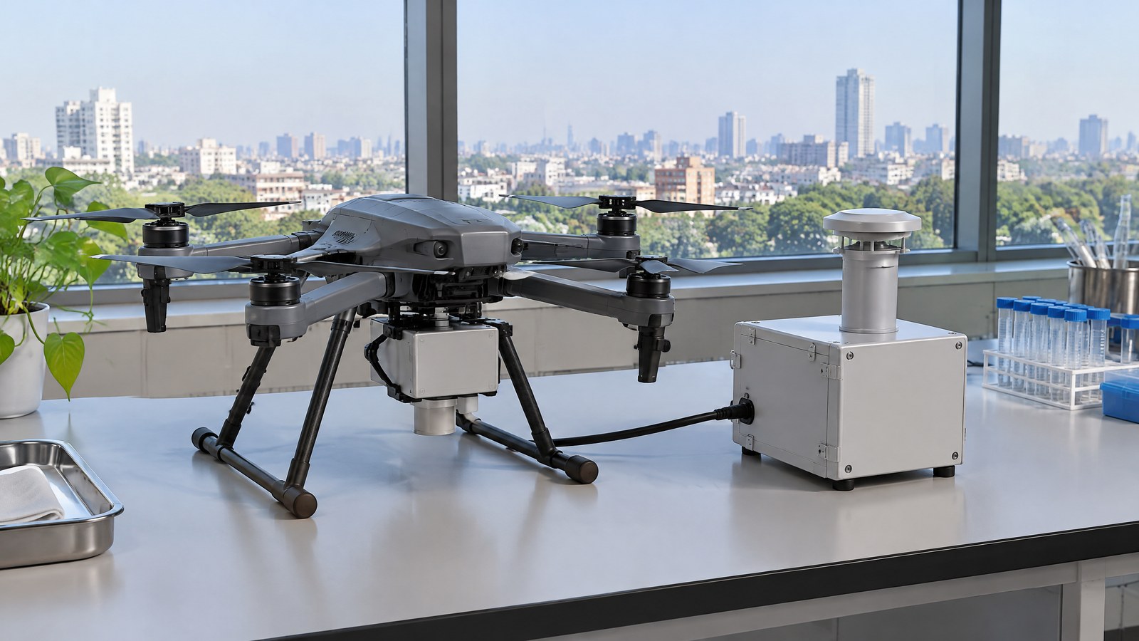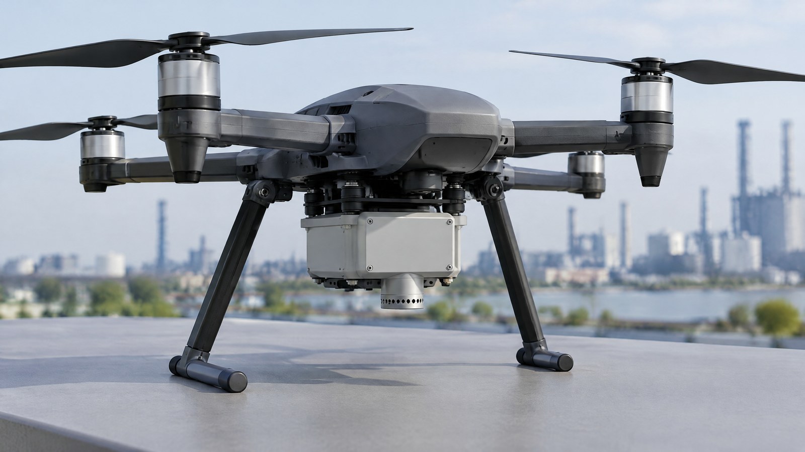
An ordinary camera can show a roof, solar array or field, but it may not reveal a surface-temperature pattern worth investigating. A drone thermal camera sensor for inspection can add that extra evidence from a lawful civilian stand-off inspection, provided its coloured image is treated as a screening signal rather than a diagnosis. AI-generated editorial illustration of generic civilian drone hardware, not a photograph of a named product or an actual inspection. For Indian readers, the useful question is not whether thermal imagery is “better” than an RGB photograph. It is what the sensor actually measures, what conditions can change the reading, and which qualified person should interpret a possible anomaly before a maintenance, crop or safety decision is made.
This article is part of the computer hardware technology guide library.
How a Civilian Drone Thermal-Infrared Camera Sensor Works
A thermal-infrared camera is a passive imaging sensor. Instead of relying on reflected visible light, it records infrared radiation arriving at its detector and turns sampled radiance into an image. The colours on screen are a visual palette chosen to make differences easier to notice; they are not colours present on the object. The peer-reviewed review “Infrared Thermography for Temperature Measurement and Non-Destructive Testing” explains that a digital infrared image represents radiation from regions of a scene after spatial and amplitude sampling [1].
That distinction makes a drone thermal camera sensor for inspection useful in a narrow but important way: it can help a civilian team locate areas whose apparent thermal behaviour differs from nearby, comparable areas. It does not see through solid materials, prove the cause of an anomaly, or directly measure an object’s internal condition. A warmer-looking patch can be a reason for a closer inspection, not a finding that a fault definitely exists.
It measures emitted radiation, not a visible-light photograph
Every surface exchanges thermal radiation with its surroundings. A thermal camera observes only the radiation that reaches its optics, so its image depends on the target, its surface condition and its environment. For a radiometric camera, the recorded information may be processed into a surface-temperature estimate, but that estimate is conditional. A thermal module that only displays a contrast image should not be assumed to supply a calibrated temperature for every pixel.
The review identifies three contributors to radiation received by a thermal camera: emission from the target, emission from surroundings reflected by the target, and atmospheric emission [1]. This is why an inspection image should be read as a measurement of a scene under stated conditions, not as an all-purpose heat map. A conventional RGB camera remains useful alongside it because it can provide surface context that a false-colour thermal frame may not show clearly.
Why emissivity and reflections can mislead a temperature estimate
Emissivity describes how efficiently a surface radiates heat relative to an ideal blackbody at the same temperature. It is one of the key assumptions behind temperature conversion. The 2014 review says emissivity and reflected temperature have a high influence on infrared-thermography temperature measurements; uncertainty becomes especially consequential for low-emissivity surfaces such as polished steel or aluminium [1].
A manufacturer technical explainer from FLIR gives the practical warning: polished metal can behave like a thermal mirror, showing radiation reflected from nearby objects rather than only its own condition [2]. Dirt, coating, oxidation, moisture and viewing angle can also change the thermal appearance of an otherwise similar surface. Therefore, a bright or dark region in an inspection image is not enough, by itself, to rank component health or to set an alarm threshold.
The safest consumer interpretation is comparative and cautious. Compare like with like, retain the ordinary visual context, and have a suitably qualified inspector decide whether a finding needs confirmation by an appropriate close method. A thermal image can support that decision; it cannot substitute for professional assessment, electrical safety practice, structural assessment or agronomic judgement.
Resolution, distance and weather change the evidence
Camera resolution sets how much spatial information the detector can acquire; it is not a guarantee that every small feature can be distinguished in an aerial view [1]. A pixel can represent a mixture of the target and nearby material, especially when a small feature occupies only part of that pixel. Lens choice, viewing geometry, focus, motion, the object’s shape and intervening air all affect whether an apparent patch is useful evidence.
The precision-agriculture review by Messina and Modica notes that thermal cameras commonly have lower geometric resolution than RGB cameras. It also describes practical difficulties caused by atmospheric effects, calibration, climatic conditions and complex soil–plant interactions; raw thermal data are not automatically true, accurate temperature measurements [3]. Those cautions travel well beyond agriculture. They are reasons to document conditions and seek corroboration, not reasons to infer that a single image is conclusive.
Important Points / Key Information
The central discipline is to separate detection from diagnosis. Thermal contrast can identify an area that merits a closer look, but it does not independently establish the material condition, the mechanism behind the contrast or the correct remedy. The same 2014 review concludes that infrared thermography can detect a defect only when the defect creates sufficient thermal contrast; effectiveness depends on sensor selection, environment and the inspection setup [1].
A sensible report states what was observed and what remains unknown. It can identify a relative thermal pattern, the visual context and the limits of the capture. It should not relabel a pattern as a failed part, water ingress, disease or a safety verdict unless an appropriate verification method supports that conclusion. This matters where decisions could affect people, property, crop inputs or equipment operation.
India-specific compliance is a separate question from image interpretation. The official Gazette text for the Drone Rules, 2021 requires a remote pilot to verify Digital Sky for notifications or restrictions in the intended area before an operation, and says that operations in red or yellow zones need prior permission while green-zone operation remains subject to that pre-flight verification [5]. The rules also allow the airspace map to change, so this article cannot establish that a proposed mission is permitted today. Check the current official Digital Sky resources, the applicable rules and notices, and any location- or project-specific permissions before arranging a civilian inspection [5] [6].
The thermal payload does not turn a drone operation into an exception from airspace, safety, property-access or privacy responsibilities. Obtain appropriate authority for the site, minimise collection unrelated to the agreed inspection purpose, and use secure handling and access controls for imagery. For a consequential result, keep the pilot’s operational responsibility and the assessor’s technical responsibility distinct.
Key Takeaways
- A thermal-infrared camera records arriving infrared radiation and displays a processed contrast image; its false colours are not visible-light colours.
- A radiometric temperature estimate depends on assumptions such as emissivity, reflected temperature and atmospheric effects, particularly on shiny or low-emissivity surfaces.
- Use an apparent hot or cold area to prioritise qualified follow-up, not to declare a fault, crop problem or safety condition from the image alone.
- For civilian drone work in India, conduct a current official Digital Sky and rules check for the intended operation; zoning and notices are not static.
Questions to ask before relying on a thermal result
Start with the decision the result is meant to inform. Is the aim a non-contact screen for possible PV-module anomalies, a crop-observation layer, a building-envelope comparison or an environmental pattern? Then ask whether the supplied camera produces radiometric data or only a display image, which surface assumptions apply, and how the result will be confirmed. Supplier specifications answer model-specific capability questions; they do not override material, weather or site conditions.
Finally, ask who is authorised and competent to interpret the output. A pilot may capture useful imagery, yet an electrical, building, environmental or agricultural finding can require a different qualified professional. This boundary is not a weakness of the sensor. It is what keeps a preliminary observation from being mistaken for a diagnosis.
Examples / Supporting Information
The examples below show where thermal imagery can contribute evidence. They do not claim a performance result for a particular drone, site or Indian project, and they are not instructions for planning or conducting a flight.
Photovoltaic inspection: screening for follow-up
A peer-reviewed 2018 study, “Thermal Infrared and Visual Inspection of Photovoltaic Installations by UAV Photogrammetry—Application Case: Morocco”, used UAV thermal and RGB imagery from PV installations in Morocco plus external data from Switzerland. Its thermal and visual orthomosaics were used in inspection work that identified examples of cracks, soiling and hotspots [4]. That is credible support for using thermal imagery as part of an inspection workflow, not proof that every bright module has the same cause.
The study’s conclusion is equally important: it says UAV technology cannot definitively replace conventional methods and recommends a closer human inspection after first-level aerial detection [4]. For a hypothetical authorised solar-asset review in India, the responsible claim would therefore be “this area merits a qualified check,” not “the camera has diagnosed the module.”
Agriculture and environmental observation: an additional layer, not a prescription
The 2020 precision-agriculture review identifies plant water-stress monitoring among the established applications of UAV thermal imagery [3]. Plant temperature can be meaningful because it relates to plant–water processes, but the review warns that field data, weather information, calibration and knowledge of soil–plant interactions remain important [3]. A warmer canopy pattern alone does not establish drought, disease, irrigation need or expected yield.
For example, an authorised farm team might use a thermal pattern as one reason to inspect a portion of a field on the ground and compare it with agronomic observations. That is a hypothetical decision-support use, not evidence that thermal imagery by itself prescribes an irrigation action. In environmental work, the same restraint applies: a mapped surface pattern can prompt investigation, but context determines its meaning.
Building and infrastructure observations: investigate the pattern
Consider a hypothetical authorised exterior survey of a large roof or façade. A thermal image could show a patch that appears different from surrounding material. Possible explanations can include the surface finish, sun exposure, moisture, reflected radiation, material thickness or an underlying condition. The camera cannot choose among those explanations on its own, particularly where glossy or low-emissivity surfaces make reflections influential [1] [2].
This makes thermal imagery most responsible when it narrows a subsequent inspection question. A building professional can combine the image with construction details and a closer assessment; an asset owner should not treat the aerial frame as a structural, fire, electrical or waterproofing certificate. That limitation protects both the inspection team and the people who depend on the asset.
Conclusion
A civilian drone thermal-infrared camera sensor can make otherwise hard-to-see surface patterns visible and can help a lawful inspection team focus qualified attention. Its real value lies in careful comparison and corroboration, not in dramatic false colour or a stand-alone temperature claim. Emissivity, reflection, resolution, weather and scene context can all change what the image means.
For readers in India, pair measurement discipline with operational discipline: confirm the payload’s actual capabilities, define the narrow inspection question, respect property and privacy boundaries, and make a current official Digital Sky and rules check for the proposed operation. Treat a thermal frame as evidence to investigate, not a replacement for pilot responsibility, professional assessment or live regulatory verification.
Source notes
Reporting record
techduopulse stores source destinations privately. Public notes remain non-clickable so every visitor journey stays on this website.
Explains infrared-radiation sampling, compensation for target, reflected and atmospheric radiation, and the importance of emissivity and inspection conditions.
Secondary source · Measurement principles and limitationsExplains emissivity, reflected temperature and why highly polished low-emissivity surfaces can act as thermal mirrors.
Primary source · Emissivity and reflectionsReviews UAV thermal imagery for precision agriculture, including plant-water-stress observation and limits involving resolution, calibration, climate and soil–plant interactions.
Secondary source · Agricultural example and limitationsReports UAV thermal and visual PV inspection work, detected examples of cracks, soiling and hotspots, and concludes that UAV inspection complements rather than replaces conventional inspection.
Primary source · PV inspection exampleRules 19–23 set out the Digital Sky airspace map, mandatory pre-flight verification of zonal restrictions, permissions for red and yellow zones, and dynamic zoning.
Primary source · India official compliance checkOfficial Ministry landing page for the Drone Rules, 2021 and Gazette notification; use current official resources for live checks.
Primary source · India official compliance checkInitial civilian drone-sensor explainer; sources and AI-generated illustrative imagery reviewed before publication.