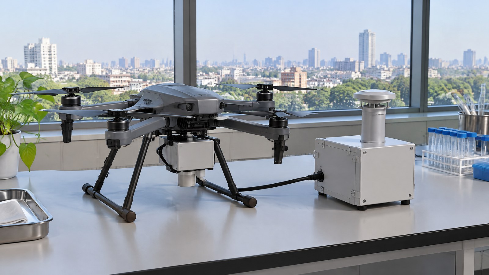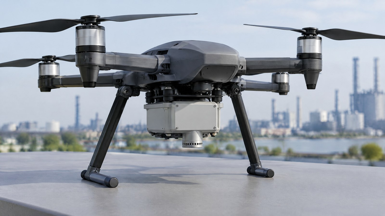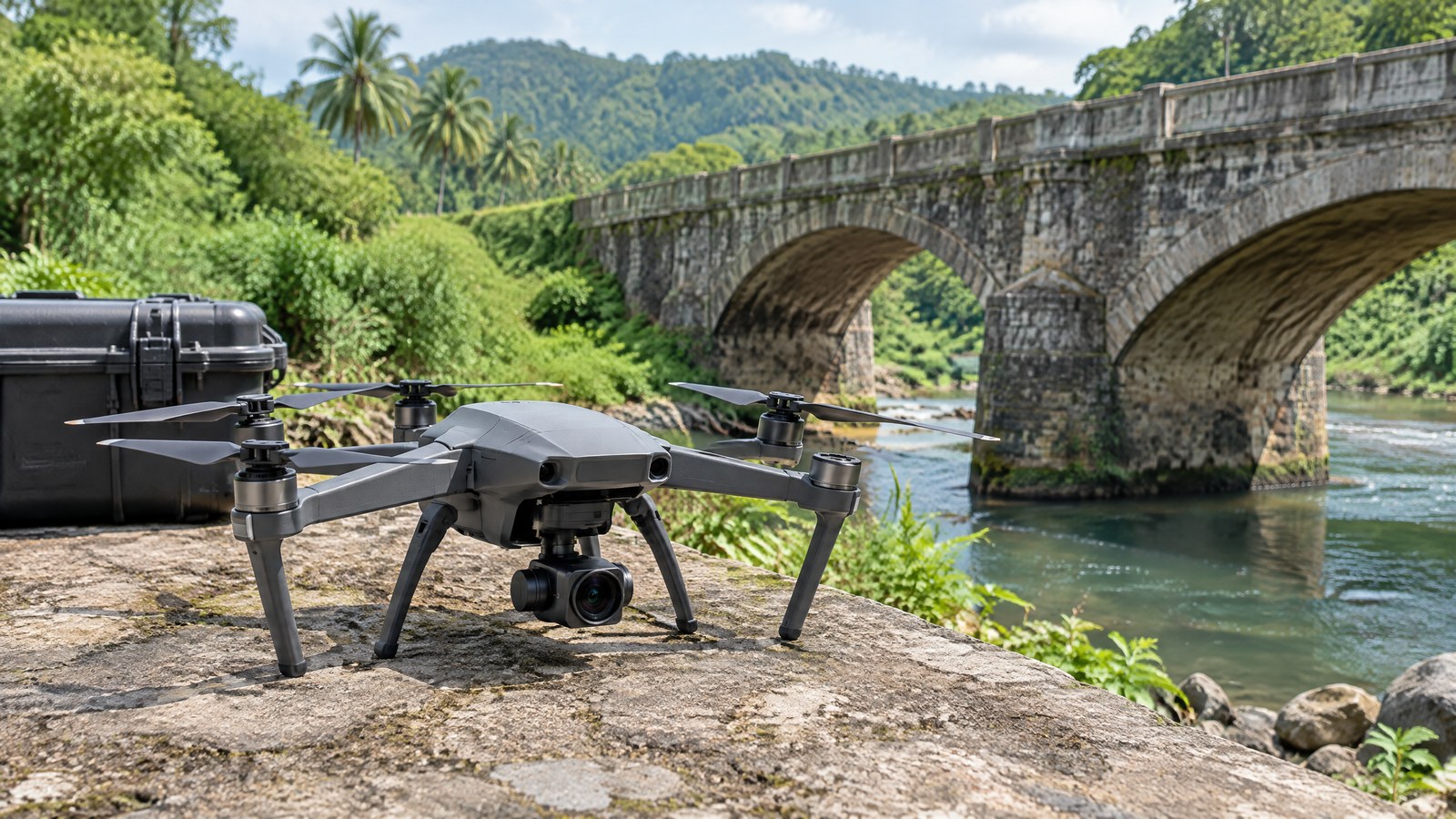
Aerial photos can make a roof, bridge face or retaining wall easier to review, but a sharp picture alone does not make a reliable map or safety finding. This India-focused guide explains how a civilian drone RGB mapping camera sensor for infrastructure inspection can support documentation and spatial models when imagery, control and checking suit the job; its hero is an AI-generated editorial illustration of generic civilian drone hardware, not a named product or an actual inspection, and neither illustration nor camera substitutes for a qualified assessment or a current official flight check.
This article is part of the computer hardware technology guide library.
How a Drone RGB Mapping Camera Supports Infrastructure Inspection
An RGB mapping camera is a visible-light camera used as part of an aerial imaging and photogrammetry process. RGB means red, green and blue: the output is colour imagery of surfaces that the camera can see. The camera does not directly measure a crack’s cause, material strength, hidden corrosion, internal voids or whether a structure is safe. Those are different questions from recording a surface image.
For civilian infrastructure work, the useful output may begin as individual photographs. With suitable image coverage and processing, those photographs can also support an orthomosaic, a textured three-dimensional representation or a surface model. The U.S. Geological Survey describes UAS imagery being combined with photogrammetric software to create orthomosaics and digital surface models; it treats the result as geospatial data that needs appropriate control and checking, not as an automatic truth about a site [1] [2].
This application is distinct from the basic camera-sensor question covered in our smartphone and laptop explainers. Those pages explain how a camera converts light to image data. For civilian UAV sensor education, a drone RGB mapping camera article instead addresses how many aerial images can become a documented visual or spatial record, and why that record has limits when it is used around infrastructure or environmental sites.
What the camera actually measures
The physical camera measures light arriving through its lens during an exposure and records a two-dimensional image. In an RGB image, colour is represented through red, green and blue-related channels. A pixel in the image is therefore a visual sample, not a direct reading of depth, thickness, load, temperature or structural condition.
This is why a mapping image can be excellent for showing an accessible surface while still being unable to answer every inspection question. Shadows can conceal detail, glare can overwhelm a reflective surface, foliage or another object can block the view, and a distant or blurred feature may not contain enough usable visual information. The FHWA notes that lighting, platform motion, framing and sensor-operation choices affect UAS image quality for bridge inspection [3].
An RGB mapping camera is also not the same as a small RGB or XYZ colour sensor. A colour sensor commonly reports a few filtered light-channel values from one view; a mapping camera records an image with many spatially arranged pixels. That spatial arrangement is what enables visual documentation and image-based reconstruction, but it does not turn the camera into a universal colour instrument or an independent engineering diagnostic.
How images become a map or model
Photogrammetry extracts spatial relationships from visual features that recur across multiple images. Processing software looks for corresponding features, estimates camera positions and orientations, and uses the geometry of those matched views to build derived products. The U.S. Geological Survey’s structure-from-motion documentation describes the creation of three-dimensional spatial products from aerial imagery and includes error reporting and workflow limitations [6].
An orthomosaic is a geometrically adjusted image mosaic intended to place visible detail in a map-like view. A textured three-dimensional model or surface model is a different derived product: it represents reconstructed form and applies the source imagery as visual texture. Neither product is simply a single photo enlarged on a screen. Each incorporates assumptions made during matching, alignment, control and processing.
For that reason, a pleasant-looking model is not enough validation for a measurement-sensitive job. USGS calibration guidance says that the quality and accuracy of ground control points and image tie points directly affect geometric accuracy, regardless of image ground-sample distance. It also notes that vertical accuracy is often more difficult than horizontal accuracy because terrain and image geometry matter [2].
Why inspection use needs interpretation
RGB mapping camera limitations are clearest when inspection claims exceed what visible images can show. Aerial RGB imagery can give an inspector or asset owner a repeatable visual record of selected surfaces and may make difficult-to-view areas easier to document. The FHWA lists images, video, orthophotos, orthomosaics, 3D models and surface models among common UAS information products, and describes high-resolution visible imagery as useful for magnified visual review and comparison over time [3].
That useful role remains limited. A visual anomaly can be a reason for follow-up, not a diagnosis. An image cannot by itself establish whether a line is a superficial mark or an active crack, whether steel loss exists beneath a coating, whether a member meets its design capacity, or whether inaccessible areas are sound. Where contact, material testing or formal inspection requirements apply, a drone camera does not replace them. FHWA is explicit that UAS cannot replace a person when tactile or other contact methods are needed and should not be considered a complete inspection solution [3].
Good interpretation joins the image record to the inspection question, site context and an appropriately qualified review process. It also keeps the claim proportionate: ‘visible surface condition documented for review’ is defensible where the imagery supports it; ‘the asset is safe’ is not a conclusion an RGB mapping camera can produce on its own.
Important Points / Key Information
The central idea is simple: RGB mapping is image-based measurement and documentation, not a direct test of a structure. A project’s confidence should match its purpose and evidence. A visual record for maintenance review needs different assurance from a measurement used in a survey, a design decision or a regulated inspection report. The source imagery, coordinate reference, control, processing record and independent checks all become relevant when a team needs quantitative claims.
The often-quoted performance numbers from UAS projects need context. On one USGS coastal-mapping programme, imagery combined with ground control produced 5–10 centimetre horizontal resolution and vertical precision within 8 centimetres when compared with independent GNSS RTK measurements [1]. That is a documented result for that programme’s equipment, control and validation—not a specification for every consumer camera, drone, Indian site or infrastructure assignment. It should not be used as a promised accuracy figure.
The practical question before relying on a result is not only ‘how many megapixels?’ It is ‘what does this specific product show, how was it checked, and is that sufficient for the decision?’ Lens quality, focus, lighting, image overlap, texture on the surface, reflections, movement, camera calibration, ground control and processing all influence what an RGB reconstruction can support.
Key Takeaways
These points keep the camera’s role useful and appropriately bounded.
- An RGB mapping camera records visible-light imagery; mapping products are created later through photogrammetry and processing, not measured directly by one photograph.
- An orthomosaic or textured 3D model can support visual documentation and spatial context, but its accuracy depends on the full data and quality-control chain.
- For infrastructure, imagery can support a qualified inspection process but cannot independently confirm hidden condition, material properties or structural safety.
- Treat published precision results as project-specific evidence. Do not turn a ground-control-backed research result into a consumer-drone accuracy promise.
- Before any civilian drone operation in India, check the current official Digital Sky map, notices and applicable DGCA information for the intended place and operation.
India: make the official airspace check current
A mapping payload does not remove the need to comply with the rules that apply to the drone operation. The official Drone Rules, 2021 state in Rule 21 that a remote pilot must verify the Digital Sky platform for notifications or restrictions applicable to the intended operating area before commencing an operation. Rule 22 states that red- and yellow-zone operations need prior permission, while a green-zone operation remains subject to that Rule 21 check [4].
This is a current-check point, not a complete compliance checklist. The rules allow the airspace map’s zone status to be updated, and the Digital Sky portal presents its airspace-map and flight-plan resources as live operational services [4] [5]. Registration, remote-pilot, airworthiness, privacy, local site-permission and other obligations can depend on the activity and may change. Use current official DGCA and Digital Sky material for the proposed operation rather than relying on an article summary.
For a reader comparing sensing terms, remember that a Remote ID location-broadcast module is not an RGB camera sensor, and an RTK receiver is navigation hardware rather than proof that an image product is centimetre-accurate everywhere. Separate hardware can contribute information to a system, but it does not eliminate the need for suitable mapping control and validation.
Examples / Supporting Information
A facilities team might use an approved civilian drone RGB mapping camera to create a dated visual record of accessible exterior surfaces before a maintenance review. In this hypothetical example, the images could help a competent reviewer identify an area that needs closer examination. They would not prove the cause of a stain, crack-like feature or deformation, and they would not replace any required site access, close-up inspection or professional judgement.
A documented real research context comes from USGS aerial imaging and mapping work. Its programme uses UAS imagery and photogrammetry for detailed topographic and visual-reflectance datasets in coastal and wetland studies, including change monitoring and habitat-related applications [1]. This shows a civilian, non-military use of image mapping. It does not mean that an unvalidated RGB camera can see through vegetation, reproduce subsurface terrain or deliver the same accuracy in every environment.
A second documented context is bridge inspection. FHWA explains that camera-equipped UAS can collect imagery of bridge components and that the resulting visual products can assist a bridge inspector, while stressing that the tool is not a complete inspection solution and cannot replace contact methods when they are needed [3]. The relevant lesson for an Indian reader is the boundary of the evidence, not a claim that another country’s procedure governs Indian work.
RGB mapping also has a different job from aerial LiDAR survey mapping. This article concerns passive visible-light images and image matching. Aerial LiDAR mapping is a separate sensor and point-cloud workflow, while LiDAR used for obstacle awareness is a different operational-safety application again. Neither should be assumed from the presence of an RGB camera, and neither automatically makes an infrastructure conclusion reliable.
Across these examples, the responsible pattern is the same: describe the output, state the conditions and review method, and keep conclusions within what the evidence can show. That is more useful than calling every colourful aerial model ‘survey-grade’ or treating a visual record as a safety certificate.
Conclusion
A civilian drone RGB mapping camera is best understood as a visible-light imaging tool that can support photogrammetric maps, models and inspection documentation. Its value comes from making relevant surface information easier to record and review—not from a promise that every image is accurate, complete or diagnostic. For infrastructure work, use the camera output as evidence with known limits and let the appropriate qualified process decide what it means.
India-focused users should keep two checks separate: the technical check of whether the image product is fit for its intended purpose, and the current official check of the proposed operation through Digital Sky and DGCA resources. A careful distinction between imagery, mapping, inspection and safety claims makes the results clearer for operators, asset owners and readers alike.
Source notes
Reporting record
techduopulse stores source destinations privately. Public notes remain non-clickable so every visitor journey stays on this website.
UAS imagery can be combined into orthomosaics and digital surface models; the cited programme’s accuracy figures are project-specific.
Primary source · How a Drone RGB Mapping Camera Supports Infrastructure InspectionGround-control and tie-point quality affect geometric accuracy; vertical accuracy can be more difficult than horizontal accuracy.
Primary source · How images become a map or modelVisible UAS imagery can support inspection documentation but does not replace tactile methods or qualified inspection judgement.
Primary source · Why inspection use needs interpretationRules 21–23 require an official pre-flight zoning check, define permissions for red/yellow zones and allow map changes.
Primary source · India: make the official airspace check currentOfficial Digital Sky portal lists the live airspace map, flight-plan resources and linked drone regulations.
Primary source · India: make the official airspace check currentStructure-from-motion aerial imagery can create 3D spatial products and requires error reporting and awareness of workflow limitations.
Primary source · How images become a map or modelInitial civilian drone-sensor explainer; sources and AI-generated illustrative imagery reviewed before publication.