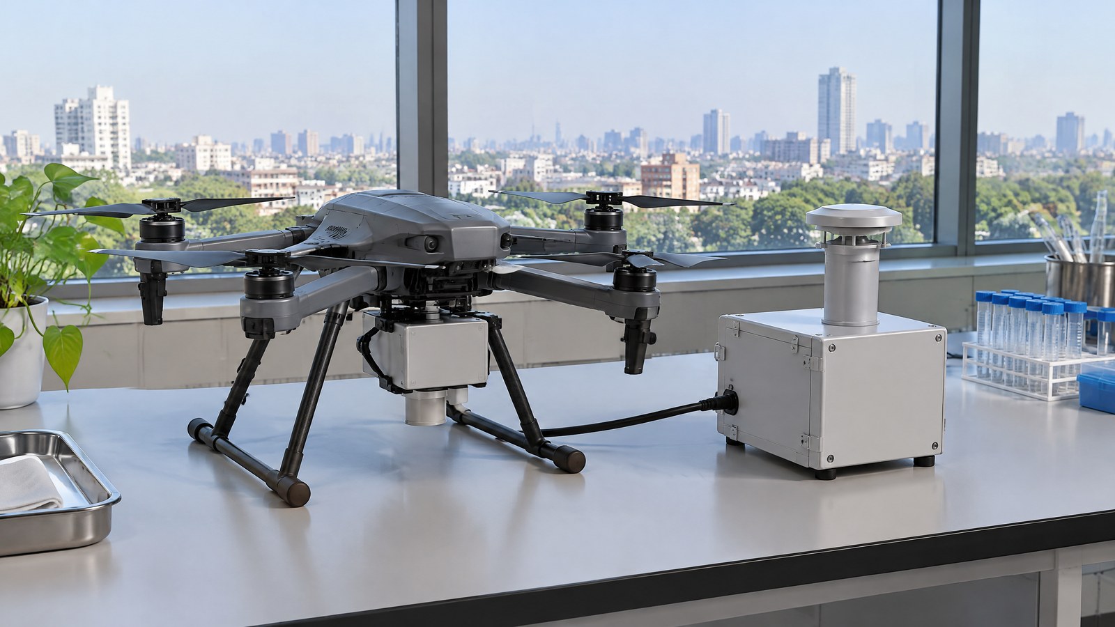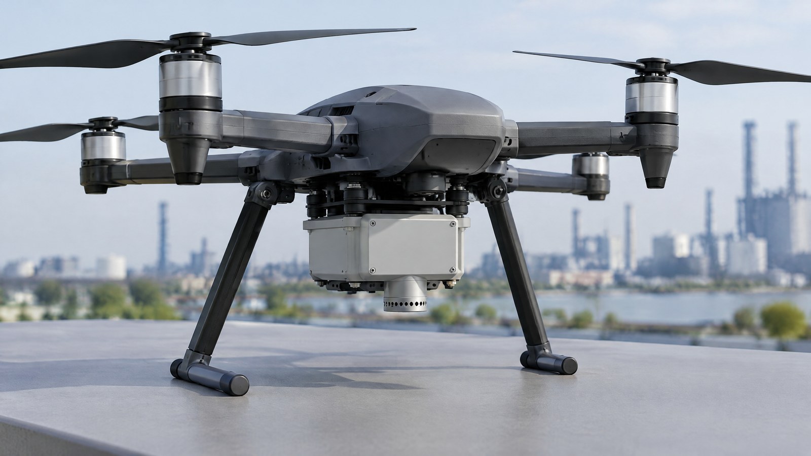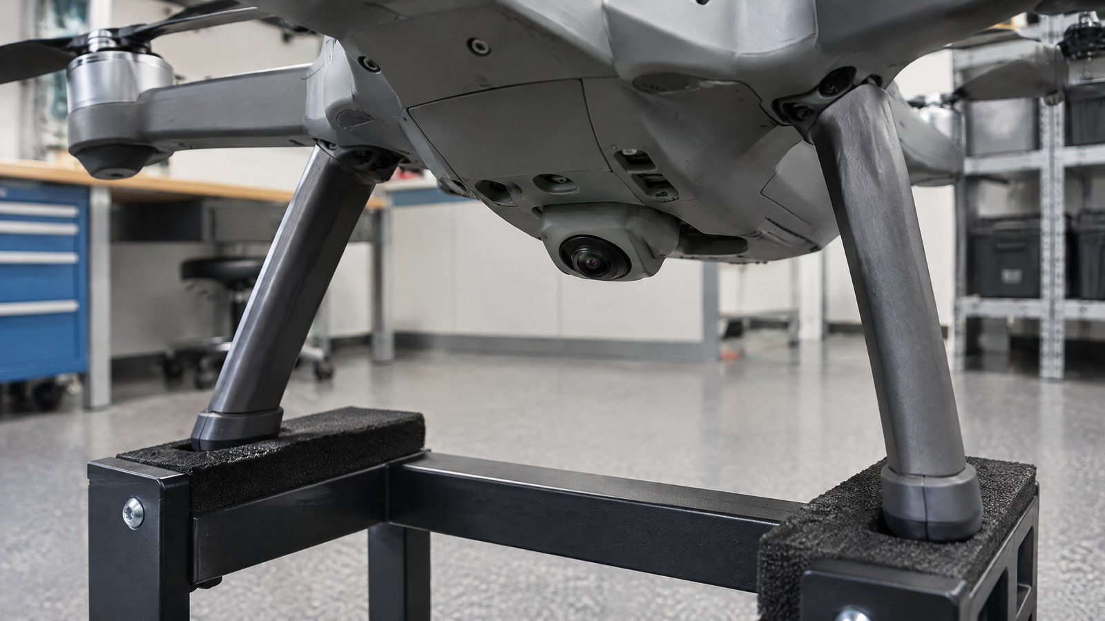
When a civilian drone is inside a warehouse, plant room or covered structure, satellite navigation may not give the location context a pilot expects. An optical-flow sensor can help a system estimate sideways motion from changing ground imagery, but understanding what it sees is the difference between a useful aid and misplaced confidence. AI-generated editorial illustration of generic civilian drone hardware, not a photograph of a named product or an actual inspection. This guide explains the drone optical flow sensor for indoor inspection basics: the measured signal, the conditions that can weaken it, and its limited place alongside a responsible pilot, site process and current official checks in India. Optical flow is a visual motion measurement, not a camera-based safety certificate, a full indoor map or proof that an inspection finding is sound.
This article is part of the computer hardware technology guide library.
How an optical-flow sensor helps with indoor inspection awareness
An optical-flow sensor estimates how features in a sequence of images appear to move across a camera view. In common drone use, a downward-looking camera observes texture on the floor or another surface below. ArduPilot describes these sensors as camera modules that use ground texture and visible features to determine ground velocity [2]. PX4 likewise describes a downward-facing camera used with a downward-facing distance sensor for velocity estimation in GNSS-denied places such as buildings or underground spaces [1].
That makes the sensor relevant to civilian indoor inspection awareness, where satellite-navigation signals may be unavailable or unreliable. It is not primarily an inspection payload that identifies corrosion, verifies a crack, reads a gauge or assesses a structure. It contributes one estimate—visual motion relative to what the camera can see—within a larger system and supervised task.
What the camera actually measures
The word “flow” can make this technology sound as though it measures physical travel directly. It does not. The immediate result is apparent motion of image detail between frames: a patterned floor, seams, grain, marks or other visible features shift in the camera image as the aircraft moves. PX4 notes that its integrated flow values are angular measurements of image rotation, not translational displacements along the drone’s axes [1].
The underlying geometry explains why the distinction matters. The ETH Zurich paper on an embedded metric optical-flow camera separates image motion caused by translation from motion caused by camera rotation. It describes using gyro measurements to compensate for rotational effects; with distance information and a near-constant scene distance, image motion can be expressed as a metric velocity estimate [3]. In reader terms: the visual signal needs context before it can mean “moving this fast over the surface.”
A useful mental model is “relative motion over visible texture,” rather than “indoor GPS.” The sensor can report a strong or weak visual-motion estimate depending on the scene. It does not recognise the legal status of a site, the condition of an asset, or whether people and equipment have entered the working area.
Why height and surface geometry change the meaning
The same amount of image shift can correspond to different real-world movement when the camera-to-surface distance changes. That is why PX4 documents optical flow together with a downward-facing distance sensor, and why its guide calls the result velocity estimation rather than direct position measurement [1]. The ETH research similarly says metric scaling uses distance to the scene and works under an assumption that the observed distance is approximately constant, particularly when the camera faces perpendicular to the ground [3].
This is an important limitation in a real indoor environment. A level, textured floor beneath a drone presents a different visual and geometric situation from stairs, grating, a sloping roof surface, stacked materials or an opening. An optical-flow result is therefore not a universal measurement of where the drone is in a three-dimensional room. The system’s other inputs, its intended boundary and the human operating the inspection still matter.
A distance sensor is a different type of measurement. It reports range to a target or surface; PX4 describes rangefinders as distance sensors and lists their possible uses separately from optical-flow estimation [5]. A range reading can provide useful scale context, but it is not automatically a complete obstacle-awareness system and it does not turn image motion into a qualified inspection conclusion.
Texture, lighting and movement can weaken the estimate
Optical flow needs stable, visible image detail to compare. A plain painted floor, uniform surface, repeated pattern, glare, reflections, shadow transitions, dust on an optical window, motion blur or poor illumination can make feature tracking ambiguous or unreliable. This follows directly from the documented dependence on ground texture and visible features [2]; no source reviewed here supports a promise of reliable performance across every indoor surface or light level.
Low light is not a simple yes-or-no condition. Some products may add their own illumination, but product features do not remove the need to assess the actual scene. The lighting direction, reflective metal, polished floors, flickering sources and a camera facing into a bright opening can all change what image detail is usable. For the basic physics of sensing received light, see the site’s light-sensor explainer; an optical-flow camera still needs a scene that produces trackable image information.
Rapid changes in viewing angle complicate the picture as well. The research paper describes compensating rotation with gyro data, but its metric interpretation relies on assumptions about camera orientation and scene distance [3]. This is not a criticism of the technology; it is the reason a responsible operator treats a sensor output as one bounded input instead of a guarantee.
What optical flow does not replace
Optical flow does not identify obstacles in every direction. A downward-looking flow camera sees the surface within its view; it does not inherently measure clearance ahead, beside or above the drone. LiDAR or other ranging equipment may be selected for a separate obstacle-awareness role, while aerial LiDAR mapping is a different use again: collecting spatial measurement data to form a point cloud. Neither role should be confused with optical flow’s image-motion estimate.
It also does not replace a visual inspection method. A technician or qualified assessor may need appropriate imagery, access, lighting, work permissions and a defined acceptance process to decide whether a component needs attention. A stable-looking aircraft or an apparently consistent visual-motion signal is not evidence that a weld, cable tray, roof member or other asset is safe.
Finally, it does not remove pilot responsibility. The published Drone Rules require a remote pilot to verify Digital Sky for notifications or restrictions applicable to the intended area before commencing an unmanned-aircraft operation [4]. Whether a specific indoor activity, premises, drone category or operation creates further obligations depends on the facts and current rules; this educational article does not make a legal determination.
Important Points / Key Information
The key question is not “Does the drone have optical flow?” but “What quantity is it estimating, under what visible conditions, and what decisions are still reserved for people and other safeguards?” This keeps the technology in proportion for indoor inspection work.
For India, treat compliance as a current official check, not as a feature of the sensor. The Gazette text of the Drone Rules, 2021 says a remote pilot must verify Digital Sky for notifications or restrictions applicable to the intended area before commencing an operation, and it describes an airspace map that may change [4]. Check the current Ministry of Civil Aviation and Digital Sky material, plus site permissions and any applicable local requirements, before a planned operation. Do not infer that being indoors alone answers the regulatory question.
Remote ID deserves a similar distinction. It is a broadcast module that can use location or other positioning inputs; it is not itself the optical-flow sensor, and an optical-flow sensor is not a Remote ID substitute. Likewise, a GNSS or RTK receiver is different navigation hardware and is not proof of a particular accuracy level in every setting.
- Optical flow estimates visual motion over a visible surface; it is not direct indoor position or a map of the whole space.
- Distance, camera orientation and scene geometry affect how image motion can be interpreted in real-world units.
- Texture, lighting, reflections and blur can limit a camera-based estimate, so no single sensor should be treated as a safety guarantee.
- Use sensor capability as one input to a planned civilian task; it does not replace a qualified inspection judgement, a responsible remote pilot or current official checks in India.
Examples / Supporting Information
The following are hypothetical civilian examples, not reports of actual missions, product tests or regulatory approvals. They show where the measurement can be relevant and where its limits remain visible.
In a covered warehouse aisle with a textured concrete floor, a downward-looking optical-flow system could contribute a visual-motion estimate when satellite-navigation context is unavailable. It would still be unsuitable to assume that every aisle is clear: pallets, people, overhead fittings and changing floor surfaces are separate hazards and sensing problems. A defined indoor operating boundary and human supervision remain essential.
In a plant room, an optical-flow reading might help an aircraft estimate drift over a surface while a camera captures visual documentation for later review. It would not establish whether a valve, pipe support or electrical enclosure is acceptable. The inspection result comes from the applicable inspection method and competent review, not from flow data.
For an environmental or facility survey beneath a covered roof, changing shadows, repetitive roofing geometry and low-detail patches can reduce the quality of frame-to-frame matching. The appropriate response is not to extrapolate a confident location from a weak visual scene. It is to keep the measurement limitation explicit in the task’s normal safety and quality process.
The technical sources support this bounded reading. ArduPilot names texture and visible features as the basis for ground-velocity determination [2]. PX4 documents an optical-flow camera with a distance sensor for velocity estimation and notes that low resolution in common sensors can cause slow hover oscillations at heights above 20 metres [1]. The ETH paper provides the geometric reason: translation, rotation and scene distance need to be separated or accounted for before image flow has a metric meaning [3].
Conclusion
A civilian drone optical-flow sensor can be useful for indoor inspection awareness because it estimates how a textured scene moves across a downward-looking camera when GNSS context is limited. Its value lies in that specific, bounded signal—not in a claim that it understands a building, clears a flight path or verifies an asset’s condition.
For readers evaluating a drone optical flow sensor for indoor inspection, ask what surface the camera will observe, how distance and rotation are accounted for, and what happens when the scene lacks usable detail. Keep the result alongside appropriate human oversight, task-specific inspection practice and a current official India compliance check. That is a more accurate way to understand both the capability and the limit.
Source notes
Reporting record
techduopulse stores source destinations privately. Public notes remain non-clickable so every visitor journey stays on this website.
Downward-facing camera and distance sensor are used for velocity estimation; flow output is angular image motion rather than direct translation.
Primary source · How an optical-flow sensor helps with indoor inspection awarenessOptical-flow camera modules use ground texture and visible features to determine ground velocity.
Primary source · What the camera actually measuresMetric velocity interpretation uses image motion with rotation compensation and scene-distance context under stated geometric assumptions.
Primary source · Why height and surface geometry change the meaningRules 19–23 provide for the Digital Sky airspace map and require pre-flight verification of applicable notifications or restrictions.
Primary source · Important Points / Key InformationRangefinders provide distance measurements, a different measurement from camera-derived optical flow.
Primary source · Why height and surface geometry change the meaningInitial civilian drone-sensor explainer; sources and AI-generated illustrative imagery reviewed before publication.