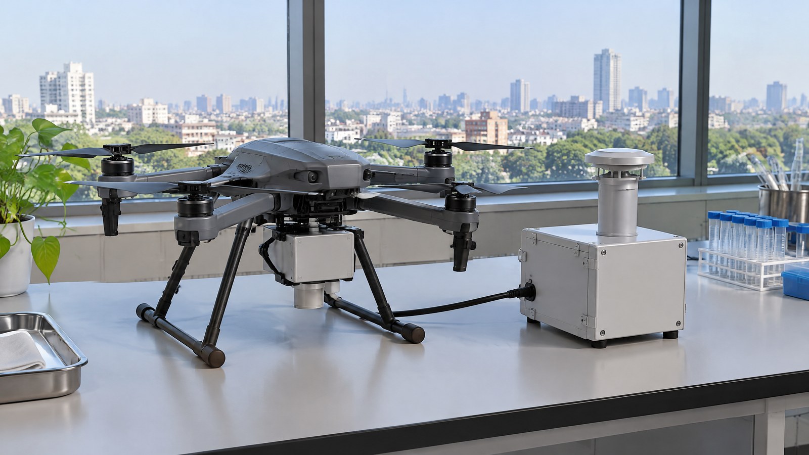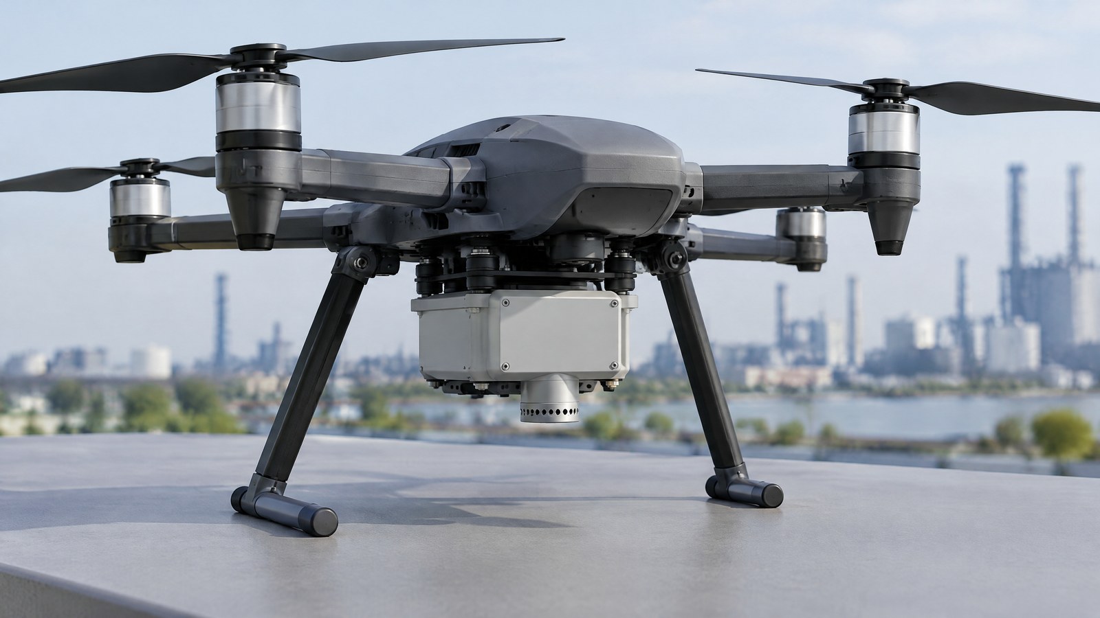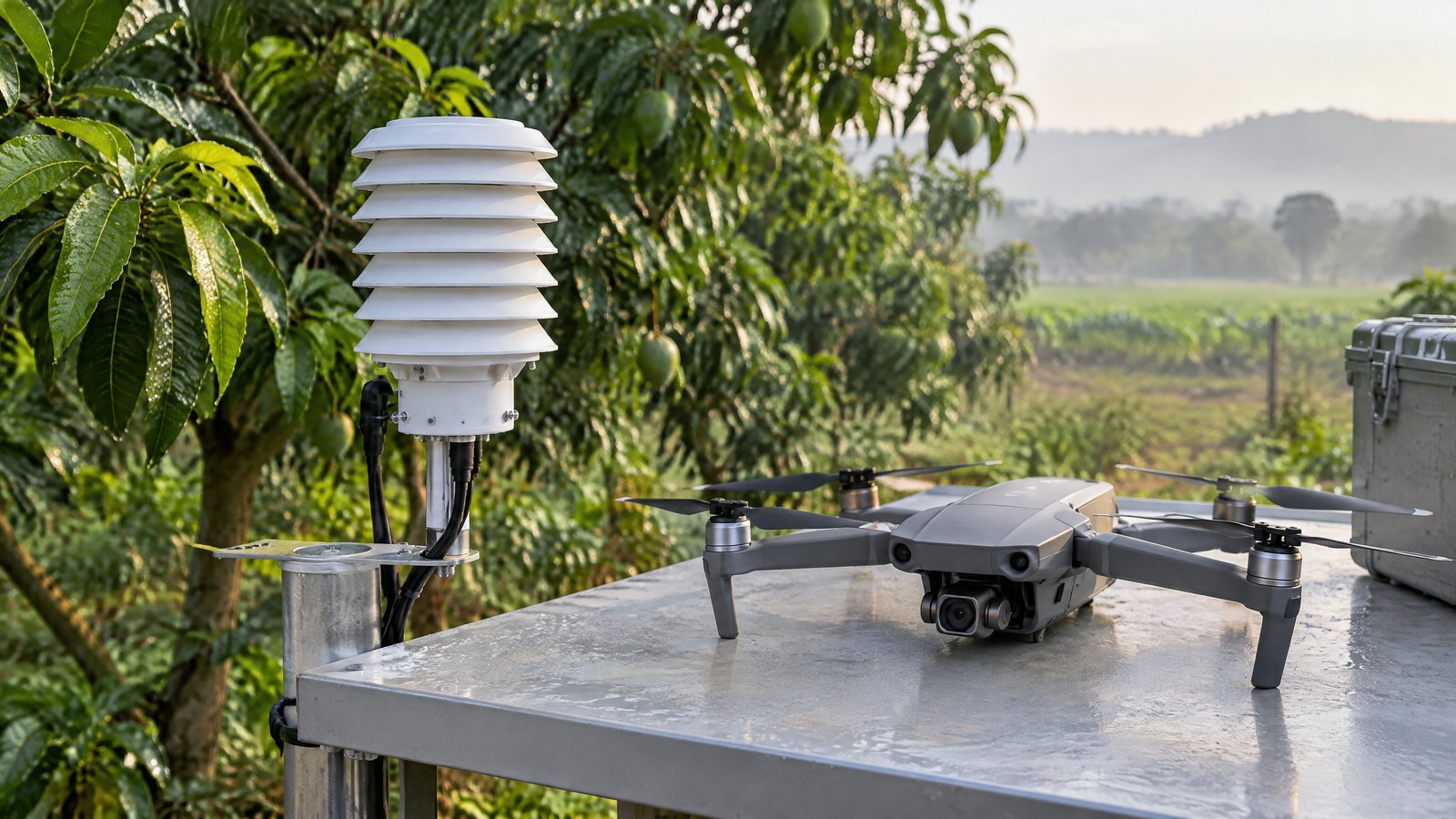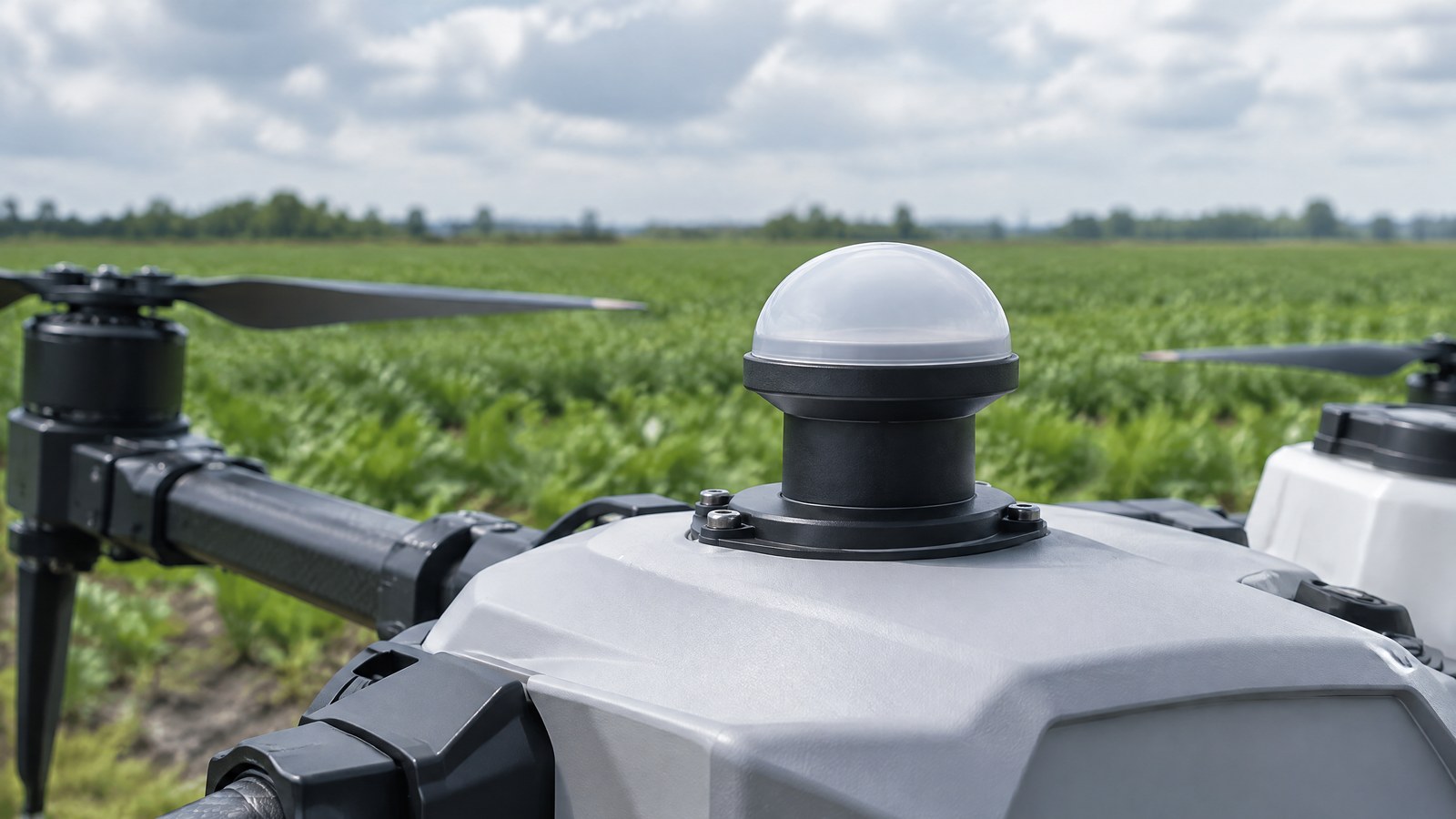
Changing sunlight can make multispectral images of the same field look different, so raw pixel values are risky to read as a crop finding. This India-focused guide explains how a drone downwelling light sensor for multispectral calibration records incoming sky light to add context before a colour map or vegetation index is interpreted; the hero is an AI-generated editorial illustration of generic civilian drone hardware, not a photograph of a named product or an actual inspection.
This article is part of the computer hardware technology guide library.
How a Drone Downwelling Light Sensor Supports Multispectral Calibration
A downwelling light sensor (DLS) is an upward-looking irradiance sensor carried with a civilian drone and used alongside a multispectral camera. The camera looks down and records light reflected from land or a built surface; the DLS looks up and records incoming light from the sky. That distinction matters because a change in a camera image can result from a change in illumination, a change in the surface, or both. MicaSense describes its DLS as an irradiance sensor that can improve radiometric quality when correctly integrated [1].
In this context, “calibration” means making the image values more interpretable and, where the full workflow supports it, more comparable across images. It is not a promise that every pixel becomes ground truth. Camera characteristics, the illumination measurement, reference information and processing choices all contribute; a DLS is one input to that broader measurement chain.
Incoming irradiance is not reflected light
Irradiance is incoming solar light energy at the measurement point. Reflectance describes the share of incoming light that a surface reflects. A multispectral camera records the reflected signal reaching its own detector, while the DLS provides information about the incoming illumination at the aircraft. MicaSense’s panel guidance makes the same separation: its upward-looking light sensor measures incoming energy directly, whereas a calibrated panel has known reflectance values [2].
This is why a DLS does not “see crop health”, identify a roof defect or inspect an object. It does not image the target at all. A vegetation index, a map class or a visible colour difference still needs context from the relevant surface, time, weather, camera band and ground checking. For readers familiar with display behaviour, this differs from an ambient-light sensor used for phone auto-brightness: both respond to light, but their measurement geometry and purpose are different.
How the light reading can help a map
Sun angle, haze, a uniformly overcast sky and changing cloud cover can alter how much light reaches a scene. A DLS time series can give processing software a contemporaneous record of the sky-side illumination while the camera is collecting images. The intended benefit is to reduce the part of a difference caused by broad illumination change, so that a comparison is less dominated by a passing change in available light.
That benefit has boundaries. MicaSense says its light sensors are most effective for global lighting changes, such as fluctuating irradiance under a completely overcast sky. It specifically cautions that they cannot reliably correct a partly cloudy situation in which a cloud shadows the ground but not the sensor, or the reverse [1]. A single number above the aircraft cannot automatically represent every illuminated and shaded patch below it.
The timing and angle of a reading matter as well. Wu and colleagues identify aircraft-attitude changes and timing mismatch between DLS sampling and camera exposure as possible sources of anomalous DLS data in rotary-wing UAV imagery [4]. This is a measurement limitation, not a reason to infer anything about a particular pilot, drone or Indian site.
Why a DLS is complementary to reference targets
An in-flight DLS can record changing incoming light, while a well-characterised reflectance target provides a known ground reference when it is properly imaged. These are complementary rather than interchangeable inputs. The U.S. Geological Survey’s UAS calibration guidance describes image-based calibration with known targets as a way to relate digital numbers to reflectance and says reliable, repeatable results require ground measurements of several known targets [3].
The same USGS report explains why a simplistic one-point conversion is limited: it assumes a zero-reflectance surface produces zero radiance and does not account for atmospheric light scattering. Two or more well-characterised targets can produce a calibration curve closer to the scene’s actual reflectance [3]. This does not prescribe a field procedure for every drone; it explains why a DLS alone should not be presented as a complete calibration verdict.
Important Points / Key Information
Key Takeaways: a drone downwelling light sensor for multispectral calibration measures incoming sky light, not the condition of the ground below. It can help account for broad illumination changes, but it cannot by itself remove every cloud-shadow effect, establish the accuracy of a map, diagnose plant stress, certify an inspection result or replace qualified assessment.
For civilian work in India, measurement quality and permission to operate are separate questions. The official Drone Rules, 2021 state that a remote pilot must verify Digital Sky for notifications or restrictions applicable to the intended area before an operation; the airspace map may change over time [5]. The Ministry of Civil Aviation’s official rules page was available and marked updated on 17 October 2026 when checked [6]. Before any actual mission, use the current official Digital Sky, DGCA and Ministry information for that place, date, aircraft and activity rather than treating this educational article or a DLS feature as a compliance decision.
A useful reading habit is to ask what changed between two map values. Was the target surface different? Was the scene lit differently? Was part of it shaded? Could the camera, target reference or processing stage have contributed? A DLS can inform the illumination question. It cannot settle all the others.
- A DLS is a passive irradiance measurement input for calibration context; it is not a navigation, obstacle-awareness, Remote ID or flight-control sensor.
- Sensor orientation and an unobstructed view of the sky can affect its reading, so equipment placement and aircraft attitude are part of the uncertainty described by the sources [1] [4].
- A calibrated reflectance panel and a DLS answer related but different questions: a panel supplies a known ground reference, while the DLS records incoming light during collection [2] [3].
- Patchy cloud creates a spatial mismatch risk: the sensor and a ground patch may not share the same illumination at the same moment [1].
- For an India operation, check current official airspace restrictions and applicable requirements before the mission; a multispectral accessory does not change pilot responsibility [5] [6].
Examples / Supporting Information
Hypothetical agriculture example: a civilian service provider makes two maps of a paddy or vegetable plot on a day with changing sunlight. A lower value in one strip could reflect a surface difference, a cloud-shadow difference or an imperfect correction, so the DLS record can help assess the illumination part of that question. It would still be inappropriate to label that strip as a nutrient, disease or irrigation diagnosis without suitable ground observations and agronomic context. This is an illustrative scenario, not a result from an Indian farm.
Research example: in a 2025 Drones paper, Wu and colleagues tested a proposed DLS-data correction approach under clear-sky, stable-illumination conditions. In the strongest result stated in its abstract, the standard deviation of tie-point reflectance fell from 15.07% to 0.58% [4]. That is evidence that anomalous DLS readings can matter in the paper’s setting, not an accuracy promise for a consumer drone, a default processing application or a civilian mission in India.
Environmental or built-surface example: when a project compares multispectral imagery from different times, a record of changing incoming light can help analysts avoid confusing a lighting change with a surface change. It does not confirm the reason for a pattern or establish that a building, crop, water body or environmental condition is safe, damaged or compliant. The appropriate reference observations and expert interpretation depend on the project.
Conclusion
A downwelling light sensor gives a civilian drone multispectral workflow a useful view of incoming illumination while the camera records reflected light below. That context can support more careful radiometric interpretation, especially when broad light levels change, but it has known limits around uneven cloud shadow, angle, timing and the rest of the calibration chain.
For India-focused readers, the practical conclusion is simple: treat a DLS-enabled map as measurement evidence to be checked, not as a standalone diagnosis, safety judgement or permission to fly. Pair the light context with appropriate reference information, ground or professional verification where the decision matters, and a current official operational check for every real civilian drone mission.
Source notes
Reporting record
techduopulse stores source destinations privately. Public notes remain non-clickable so every visitor journey stays on this website.
Source note: manufacturer guidance on DLS irradiance measurement, orientation and partly cloudy limitations
Primary source · Measurement principle and global-versus-partly-cloudy illumination limitsSource note: manufacturer explanation of irradiance, reflectance panels and complementary measurement roles
Primary source · Incoming irradiance versus reflected light and panel contextSource note: UAS radiometric-calibration and known-target guidance
Primary source · Image-based calibration, multiple targets and one-point method limitationsSource note: peer-reviewed study of DLS timing, attitude and correction-method limitations
Secondary source · Timing and attitude effects; bounded 2025 field-study exampleSource note: official Digital Sky airspace and pre-flight restriction-verification rules
Primary source · India official pre-flight Digital Sky restriction check and dynamic airspace mapSource note: official Ministry entry page for the Drone Rules, 2021
Primary source · Current official source check for Indian civilian operationsInitial civilian drone-sensor explainer; sources and AI-generated illustrative imagery reviewed before publication.