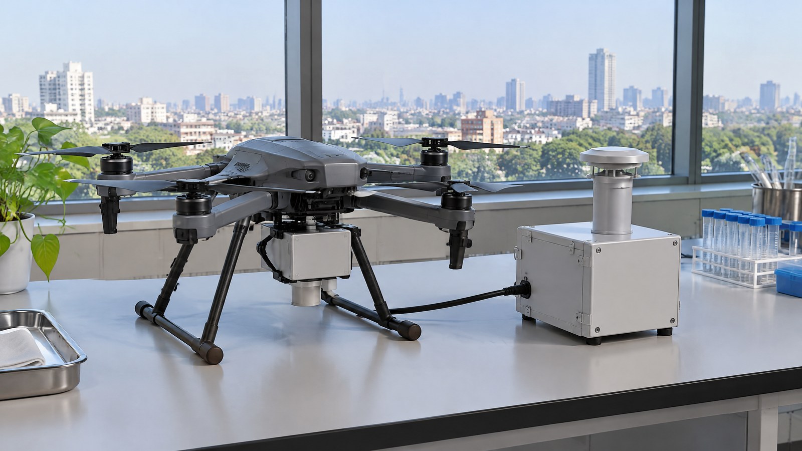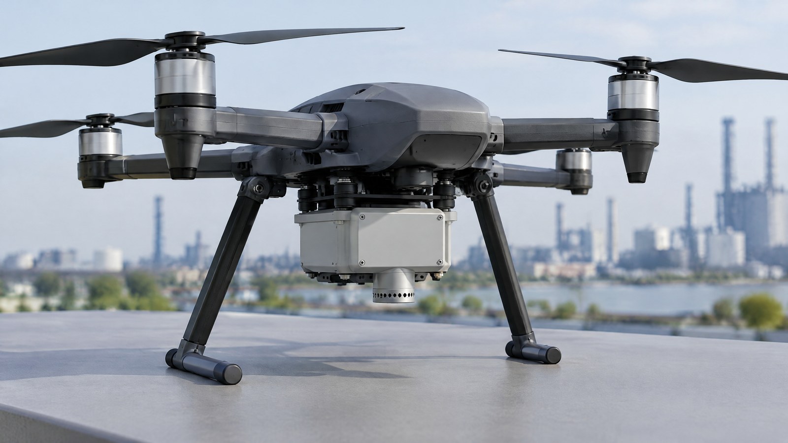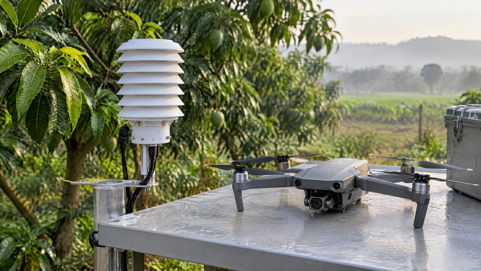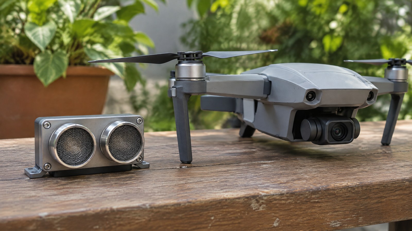
A distance reading that says the ground is close can be useful, but it cannot tell a civilian-drone pilot that an approach, inspection position or work area is safe. Knowing what an ultrasonic rangefinder actually measures helps Indian readers treat a short-range echo as context rather than a promise about every obstacle, surface or condition. AI-generated editorial illustration of generic civilian drone hardware, not a photograph of a named product or an actual inspection. An ultrasonic rangefinder emits sound above human hearing, listens for an echo and derives an estimate from the echo’s round-trip time. It is a local ranging method, not a camera, a map, a classifier or a substitute for trained judgement. This article focuses on the civilian-drone question: what an airborne ultrasonic reading can mean, why it can fail, and how to keep it in proportion.
This article is part of the computer hardware technology guide library.
How a civilian drone ultrasonic rangefinder measures distance
A drone ultrasonic rangefinder is an air-coupled echo instrument. Its useful result is normally one estimated distance along a limited acoustic field of view, to whichever return the electronics accept. That is narrower than “obstacle awareness”: the measurement does not by itself identify the object, show its full shape, reveal every direction around an aircraft or establish that a route is clear. [1]
Pulse, echo and round-trip time
The basic principle is time of flight. A transducer sends a brief ultrasonic pulse through air; a solid or liquid surface may reflect some of that energy; and the receiver records when a usable echo arrives. Distance is estimated as the measured round-trip time multiplied by the assumed sound speed, then divided by two because the sound travelled out and back. Texas Instruments documents 343 metres per second for dry air at 20°C as an example, not a fixed value for every outdoor condition. [1]
This explains both the usefulness and the limit. The sensor does not “see” metres directly. It times an acoustic event and turns that timing into a distance estimate. An accepted echo therefore depends on propagation through the air, reflection from a particular part of a scene and the device’s own signal processing. The peer-reviewed review by Jackson and colleagues describes airborne ultrasonic ranging as subject to fundamental physical limitations, including the temperature dependence of acoustic velocity in air. [2]
What one reading represents—and what it does not
A reading is best understood as an estimate to a reflecting surface in the sensor’s coverage area at that moment. A broad, dense, flat surface facing the transducer can return a stronger echo than a small, curved or tilted object. Angled surfaces can redirect sound away from the receiver, while sponge, foam and soft clothing can absorb reflected energy. An accepted return identifies only a reflecting part of the scene; it does not create a complete obstacle boundary or surface model. [1]
The same reason stops an ultrasonic rangefinder from being a general inspection sensor. It cannot determine material condition, identify a crack, read a label, judge a structure’s integrity or prove separation from every object nearby. A separate camera, thermal sensor, LiDAR survey system or qualified inspection method has a different measurement purpose. In particular, a LiDAR mapping system collects spatial measurement data for a point cloud; an ultrasonic unit supplies a limited local echo-distance estimate. They should not be treated as interchangeable evidence.
Why minimum distance and outdoor conditions matter
Very close targets can be a problem in a common one-transducer arrangement. After emitting a pulse, the transducer can keep vibrating, a behaviour called ringing or decay. During that interval a near echo may be obscured, creating a blind zone or minimum detectable distance. A product’s stated minimum range is therefore a meaningful constraint, not a detail to skip. [1]
The usable result can change beyond that blind zone. Air temperature alters the speed of sound. Texas Instruments also identifies humidity, in-band ambient noise and airborne debris as influences on an air-coupled echo; dust, rain and snow can weaken the ultrasonic energy, and mud, snow, ice or partial submersion can diminish ranging performance. These are physical limitations, not a claim that every Indian summer, monsoon or dusty site will produce the same error. [1]
Range figures need the same caution. They are conditional on the transducer, its acoustic design, the reflecting target, orientation and environment. A rangefinder that returns a stable value to an open, level surface may give no useful echo from a sloping surface or a sound-absorbing material. Do not convert a nominal specification or a single reassuring reading into a guaranteed obstacle-detection distance.
Why a rangefinder does not make the operation safe
A sensor result is an input, not a safety verdict. It can miss a return, report a surface that is not the one a person assumes, or be outside the part of the scene that matters. It also cannot replace a pilot’s responsibility to evaluate conditions, maintain the applicable operational safeguards or stop when a site presents uncertainty. The same caution applies to a feature described as landing assistance or terrain following: the feature name does not establish all-site reliability.
This boundary matters when comparing sensor categories. An ultrasonic rangefinder does not replace optical awareness, a LiDAR obstacle-awareness sensor, an aerial LiDAR mapping payload, an IMU, a navigation receiver or human observation. Each measures different signals and has its own blind spots. A radio identification function is also separate: Remote ID is a broadcast module using position-related inputs, not a physical obstacle sensor.
India: the compliance check is separate from the sensor
The Drone Rules, 2021 define the Digital Sky platform as DGCA’s online platform for managing unmanned-aircraft-system activities in India. The published rules say that a remote pilot must verify the platform for notifications or restrictions in the intended area before an operation, and state that red and yellow zones need prior permission while a green-zone operation remains subject to that verification. [4]
Those provisions should not be read as a complete operational checklist or a permanent map. The rules describe zoning as dynamic. Check the current official platform, notices and requirements for the specific date, place, aircraft and proposed civilian activity. This article is sensor education, not legal advice or permission to operate. [4]
Important Points / Key Information
Key Takeaways
- An ultrasonic rangefinder estimates distance from the travel time of a sound echo. It does not directly measure “safety” or identify an obstacle.
- Near-range ringing, target angle and material, temperature, weather-related debris and noise can change whether an echo is available and what the estimate means. [1]
- A single local distance signal is not a substitute for a wider sensing strategy, pilot observation, a qualified site assessment or an inspection conclusion.
- For India, consult the official Digital Sky platform and current official DGCA or Ministry of Civil Aviation material before any operation; a sensor feature does not alter the applicable rules.
Examples / Supporting Information
A manufacturer example can illustrate the intended measurement without proving capability in every aircraft. Texas Instruments describes ultrasonic sensing as assisting with drone landing, hovering and ground tracking, where the local distance from the underside of a drone to the ground is relevant. The same article notes the near-field limitation created by transducer ringing. This is manufacturer application context, not independent field validation, an endorsement of a product or a promise for a particular drone. [3]
Hypothetical example: during a planned civilian infrastructure documentation task, a team may want a local indication of distance to a broad, level surface below the aircraft. The reading could be one contextual signal, but it would not establish clear space beside the aircraft, detect every protrusion, assess the structure or remove the need to follow the authorised operating plan. A sloping surface or a surface that absorbs sound may not return the expected echo. [1]
Hypothetical example: in an agricultural or environmental observation project, an ultrasonic reading towards crop cover or uneven soil is still a local echo-distance estimate, not a map of canopy height, terrain or plant condition. A validated survey method and an appropriate data-collection plan are needed when a reported measurement will support an agronomic, environmental or engineering conclusion.
These examples are deliberately limited. They distinguish an echo-based local range estimate from inspection evidence, survey-grade mapping, airspace authorisation and any claim that an aircraft can operate without qualified human oversight. They report no product test, field trial, accuracy result or operational recommendation.
Conclusion
A civilian drone ultrasonic rangefinder can offer a useful short-range echo-distance estimate when a suitable surface returns sound. Its practical value depends on the target, geometry, minimum range and environment, while its meaning remains much smaller than “all obstacles detected” or “safe to proceed.” [1]
For Indian readers, the sound approach is to separate three questions: what the sensor measures, what the complete civilian task needs, and what the current official rules require at the intended location and time. Keep the rangefinder’s output in that evidence chain, not at its end.
Source notes
Reporting record
techduopulse stores source destinations privately. Public notes remain non-clickable so every visitor journey stays on this website.
Pulse-echo distance, ringing blind zone, target-return and environmental limitations source note
Primary source · Measurement principle and limitationsPeer-reviewed overview of airborne ultrasonic-ranging accuracy, repeatability and temperature limitation
Secondary source · Measurement confidence and interpretationManufacturer description of civilian-drone landing, hovering and ground-tracking application context
Primary source · Examples / Supporting InformationOfficial Digital Sky airspace-map and pre-flight zonal-verification source note
Primary source · Important Points / Key InformationInitial civilian drone-sensor explainer; sources and AI-generated illustrative imagery reviewed before publication.