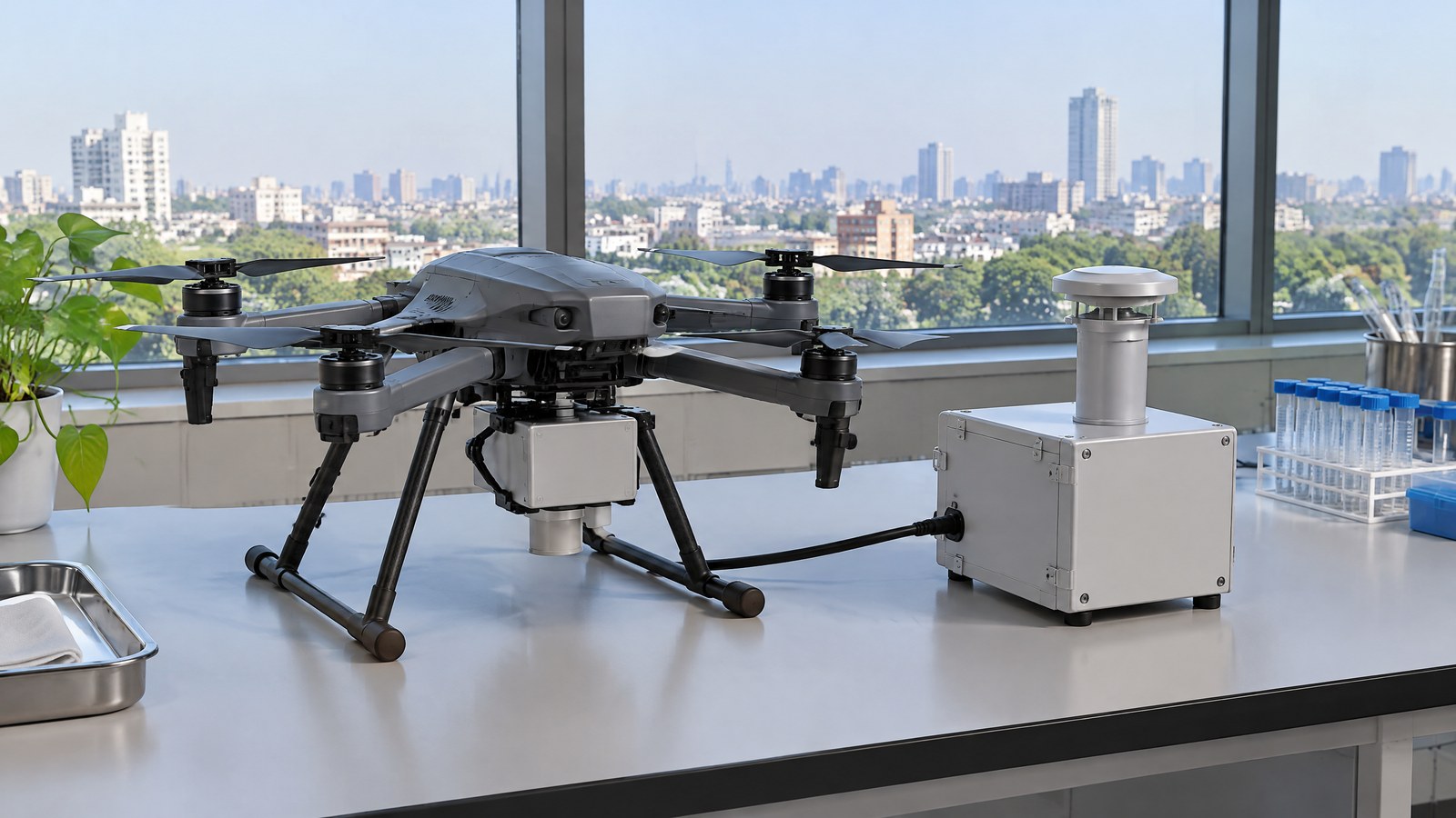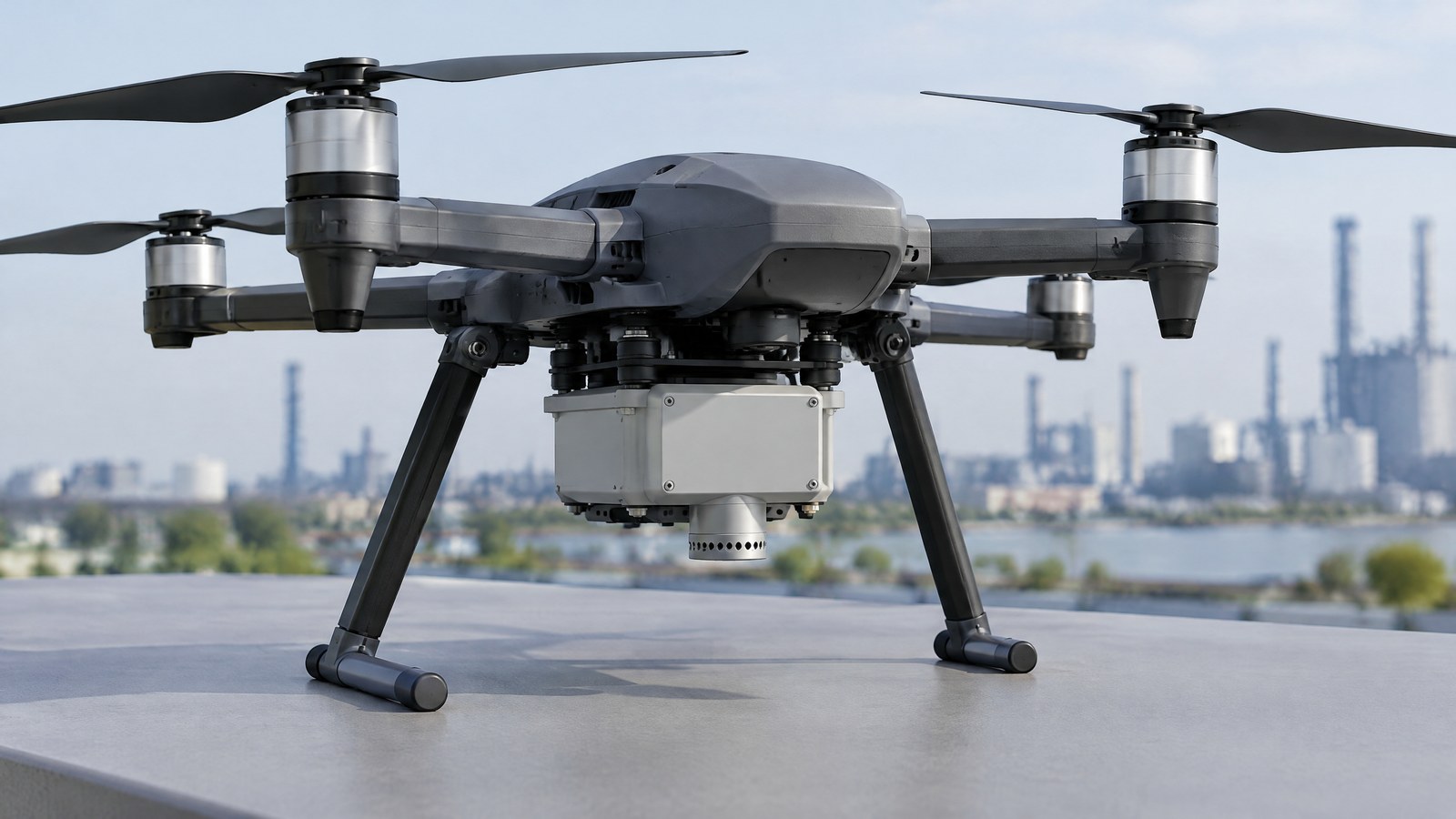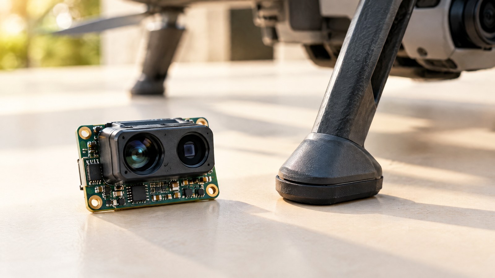
Landing a civilian drone near an uneven field edge or a rooftop inspection area is where a vague sense of height is least helpful. A drone ToF distance sensor can add a short-range, direction-specific distance reading, helping a pilot and crew understand a near-ground gap without pretending that one reading makes an operation safe; the hero is an AI-generated editorial illustration of generic civilian drone hardware, not a photograph of a named product or an actual inspection.
This article is part of the computer hardware technology guide library.
How a civilian drone Time-of-Flight (ToF) distance sensor measures a near-ground gap
A Time-of-Flight (ToF) distance sensor is an active optical rangefinder. It emits light, receives a portion reflected by a surface, and estimates distance from the light’s outward-and-return journey. The distance is therefore a measurement along the sensor’s viewing direction, not a complete picture of the ground, a landing area or every object nearby. A peer-reviewed evaluation of pulse-based ToF sensing describes this round-trip-light principle and distinguishes it from phase-based ToF approaches [3].
On a civilian drone, a downward-looking rangefinder can contribute near-ground awareness; PX4’s rangefinder documentation lists terrain holding, photography hovering and improved landing behaviour among distance-sensor uses [2]. Those are system uses, not a promise from a bare sensor. The aircraft, the viewing direction, the surface, software handling and the operation all determine whether a reported range is useful at that moment.
This is a distinct use from aerial LiDAR survey mapping. A survey payload is intended to collect many georeferenced measurements for a point cloud and a mapping workflow; a small ToF rangefinder often answers a narrower question: how far is the surface within this device’s field of view? It is also different from a broad obstacle-awareness arrangement, which needs coverage in the directions where hazards might appear. A downward-looking reading cannot establish that the sides, path or wider landing area are clear.
The distance is calculated from returned light
The simple mental model is “send light, time the return, infer range,” but different ToF families implement that measurement differently. Pulse-based systems use short light pulses and a synchronised receiver. Amplitude-modulated continuous-wave systems infer the time relationship from a measured phase shift. Both are active optical measurement methods; neither is an ordinary RGB camera and neither identifies a surface by itself [3].
Many compact direct-ToF devices combine emitter, receiver and processing in one package. In its VL53L1X data sheet, STMicroelectronics says the device reports a range in millimetres together with return-signal rate, ambient-signal rate and range status. That is useful consumer context: a system can have a numerical distance, but it can also have a weak or unmeasurable return that should not be treated as a normal result [1].
Field of view determines what the number describes
A single-zone sensor measures within a limited optical volume, not at a mathematical point directly beneath the aircraft. Depending on its field of view, altitude and surface geometry, a return can come from a patch of ground, an edge, vegetation, a roof feature or another nearer surface inside that volume. The exact field of view and minimum/maximum range belong to the specific model’s documentation.
PX4’s distance-sensor data model records the current distance alongside minimum and maximum distance, signal quality, and horizontal/vertical field of view [8]. That framing is more useful than treating the value as a universal “height above ground.” It is a bounded report from a particular sensor direction, with an associated validity context.
Why surface, sunlight and movement can change the result
The returned optical signal depends on the scene. ST’s device-specific tests show that stated range changes with target reflectance and ambient-light condition [1]. The peer-reviewed ToF study specifically evaluates temperature drift, depth inhomogeneity and linearity error, dynamic scenery, and multipath effects as error sources [3]. Its camera-prototype results should not be converted into a performance claim for a consumer drone, but the categories explain why context matters.
Manufacturer tables make the same point in device-specific form. ST’s VL53L1X data sheet gives a 4 m long-mode result only under stated dark, white-target conditions; at its strong-ambient-light test condition, the listed typical maximum distances are far shorter. The data sheet also shows shorter performance for a low-reflectance grey target and says readings below its guaranteed 4 cm minimum are not accurate [1]. This is not a drone range specification. It is a concrete reminder to read conditions, target assumptions and status information alongside any headline range.
A clean-looking consumer drone or a generic illustration is not proof that its range measurement is valid in a particular setting. A reported range still needs to be considered with the exact model’s documented target, illumination and status conditions. Where a result affects a meaningful operational decision, the appropriate response is qualified assessment and the aircraft maker’s documented operating limits—not confidence borrowed from a generic illustration or a sensor label.
Important Points / Key Information
A drone ToF distance sensor for precision landing is best understood as one source of short-range environmental information. It may help a civilian crew understand a near-ground separation, but it does not certify a landing surface, detect every hazard, replace direct observation or remove pilot responsibility. A sensible reading of “precision” here is more informed distance awareness under specified conditions, not a guarantee of a particular landing outcome.
The technical label can also mislead. “ToF,” “laser rangefinder” and “LiDAR” may all describe light-based ranging in different products, yet they do not automatically mean a mapping scanner, a multi-direction obstacle system or a survey instrument. Product range, field of view, update behaviour, weather tolerance and status reporting are model-specific. A buyer or operator should consult the exact aircraft and sensor documentation rather than infer capability from the category name.
India-specific compliance remains separate from sensor capability. The official Digital Sky portal presents airspace-zone information and links to the Drone Rules, 2021 and Amendment Rules, 2022; it also states that flight-plan requests can be submitted online [4]. The Ministry of Civil Aviation’s official Drone Rules backgrounder says the airspace map may change and tells planned operators to check the latest map [5]. For any real civilian operation in India, confirm current DGCA, Digital Sky and eGCA information for the particular aircraft, location and activity. A ToF reading cannot grant a permission, change an airspace zone or establish an exemption.
Remote ID is another separate concept. The FAA describes Remote ID as the broadcast of identification and location information, and a broadcast module as an add-on that transmits those details [7]. That is a useful technical distinction only; it is not an India compliance rule in this article. A Remote ID-style broadcaster can use positioning inputs, but it is not a physical ToF distance sensor and does not measure a surface gap.
- Key Takeaway: Treat the output as direction-specific range information, not a complete safety assessment of the aircraft’s surroundings.
- Key Takeaway: A valid distance depends on the sensor model, field of view, target, ambient light, geometry and reported signal/status conditions.
- Key Takeaway: Keep ToF near-ground awareness separate from LiDAR survey mapping, wide-area obstacle awareness, GNSS/RTK positioning and Remote ID broadcasting.
- Key Takeaway: For operations in India, make a current official DGCA/Digital Sky/eGCA check; a component does not determine legal permission or operational responsibility.
Examples / Supporting Information
Consider three hypothetical, civilian situations. They are illustrations of interpretation, not reports of tests or recommended procedures. First, a photographer may want more awareness of the gap between a supervised drone and a level open surface during a low-altitude shot. A downward ToF range can be relevant because it measures a near-ground direction; visual observation and the full aircraft system still matter because the range does not describe obstacles beyond the optical volume.
Second, an inspection team may use a civilian drone to document a building exterior from a permitted, carefully planned position. A short-range distance measurement can provide context about separation from a nearby surface, but it cannot determine structural condition, prove clearance around the aircraft or replace the professional judgement required for the inspection. Reflective cladding, angles, protrusions and changing light are reasons to avoid treating one number as an inspection finding.
Third, an environmental-data collection project may fly over a defined ground area under the approvals and processes applicable to it. A downward range signal may help contextualise variation in surface distance over a small area, yet it is not a terrain survey. If the project needs a defensible elevation product, it needs an appropriate mapped-data workflow, positioning evidence, stated accuracy and professional interpretation—not an unqualified ToF trace.
These examples show the article’s central distinction. The positive use is modest and transparent: ToF can add a measured range to a civilian operation’s situational understanding. The boundary is equally important: it does not independently verify a landing site, detect every object, make a drone autonomous, authorise a flight or create a survey-grade map. PX4’s documentation lists a broad spread of ToF rangefinders, from compact short-range devices to specialised units, which further shows why performance cannot be assumed from the word “ToF” alone [2].
Conclusion
A Time-of-Flight (ToF) distance sensor can make a civilian drone’s near-ground picture more concrete by reporting distance along its own optical view. That can be useful for supervised photography, appropriately planned inspection context or carefully defined environmental work, especially when the exact device reports a credible signal and the crew understands its field of view and limits.
It is not a substitute for observation, qualified assessment, aircraft documentation, pilot responsibility or a current official check of Indian operating requirements. Keep the claim proportional to the measurement: a ToF device supplies a conditional distance input. It does not, by itself, make a precision landing safe, turn a nearby surface into a surveyed map, or determine whether a civilian drone operation is permitted.
Source notes
Reporting record
techduopulse stores source destinations privately. Public notes remain non-clickable so every visitor journey stays on this website.
VL53L1X data sheet: range status, signal conditions, and device-specific ambient-light, reflectance and minimum-range limits [1].
Primary source · Measurement limitsDistance Sensors (Rangefinders): civilian uses and model-specific variety of rangefinder technologies [2].
Primary source · Civilian-drone contextPulse Based Time-of-Flight Range Sensing: ranging principle and studied ToF error-source categories [3].
Secondary source · Measurement principle and limitationsDigital Sky portal: current official airspace-zone information and linked drone-rule resources [4].
Primary source · India official checkThe Drone Rules, 2021 backgrounder: airspace map context and the need to check the latest map [5].
Primary source · India official checkDGCA resource page: official-source verification warning for information that can evolve [6].
Primary source · India official checkRemote Identification of Drones: technical distinction between location broadcasting and a distance sensor [7].
Primary source · Sensor-category distinctionDistanceSensor message: bounded distance, signal-quality and field-of-view data concepts [8].
Primary source · Field of view and validityInitial civilian drone-sensor explainer; sources and AI-generated illustrative imagery reviewed before publication.