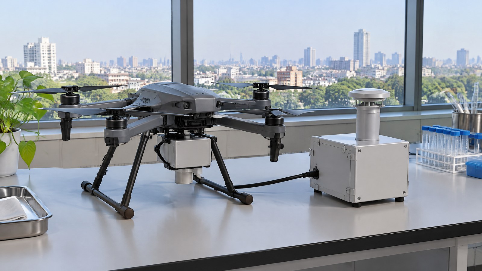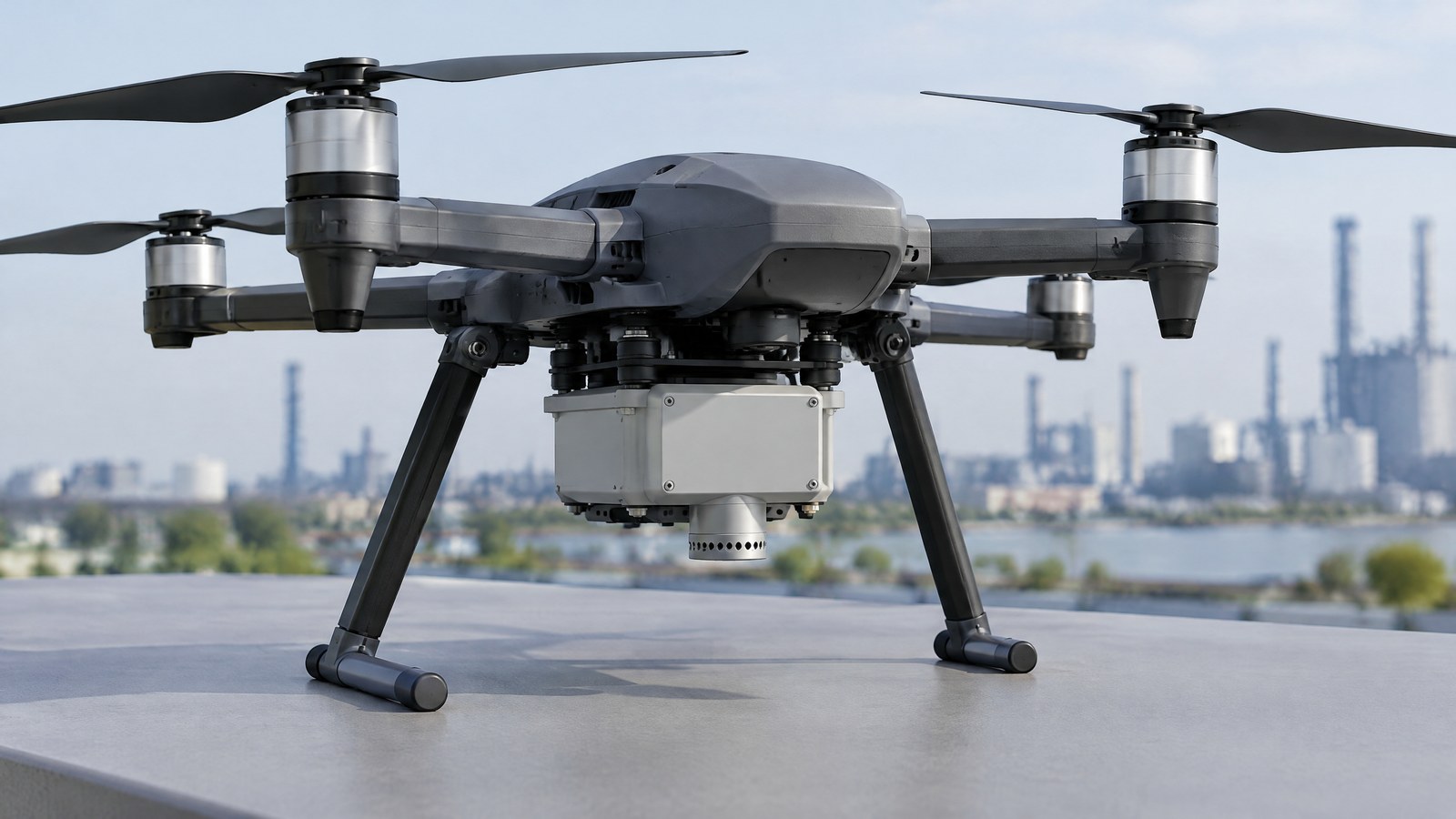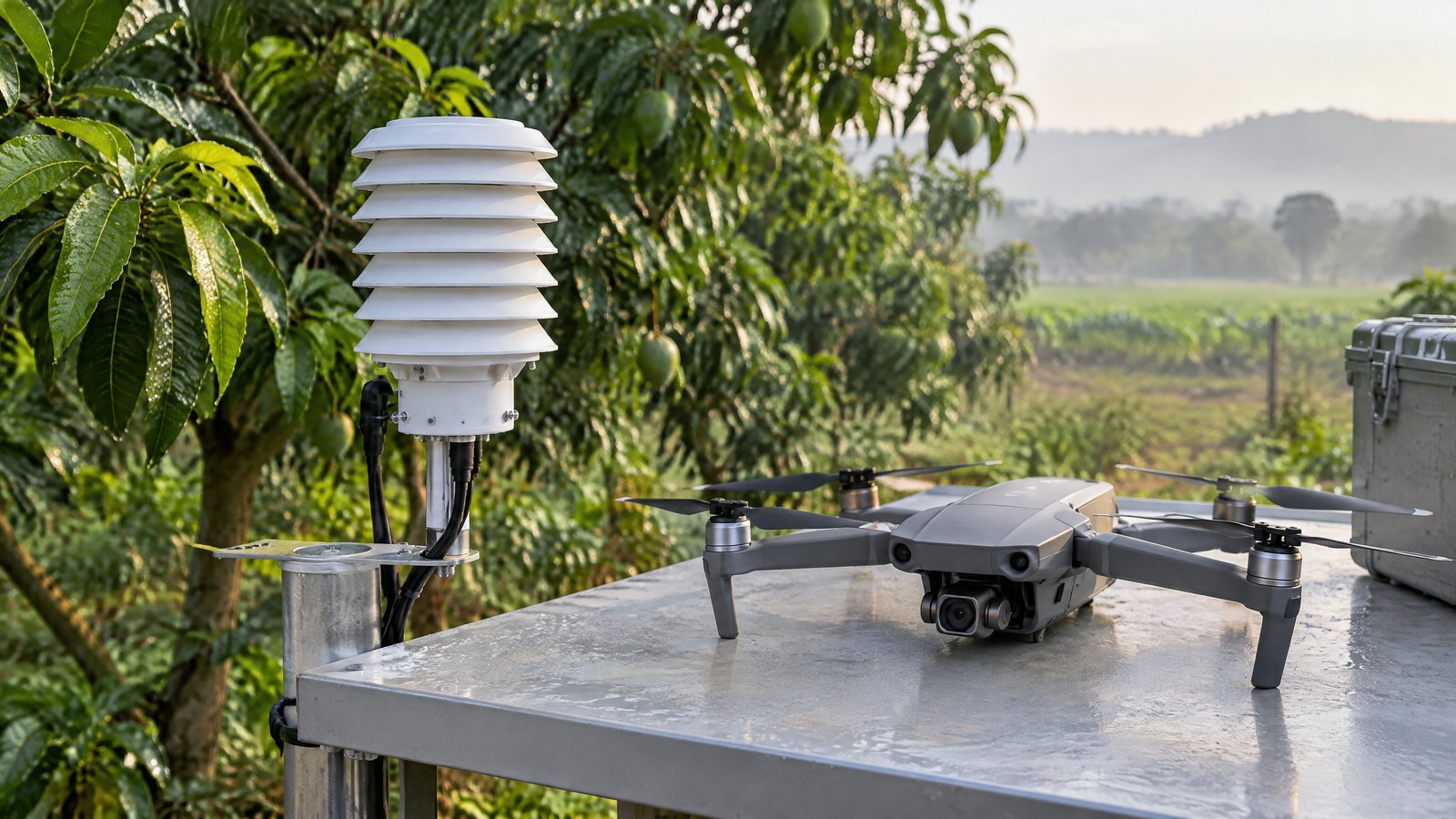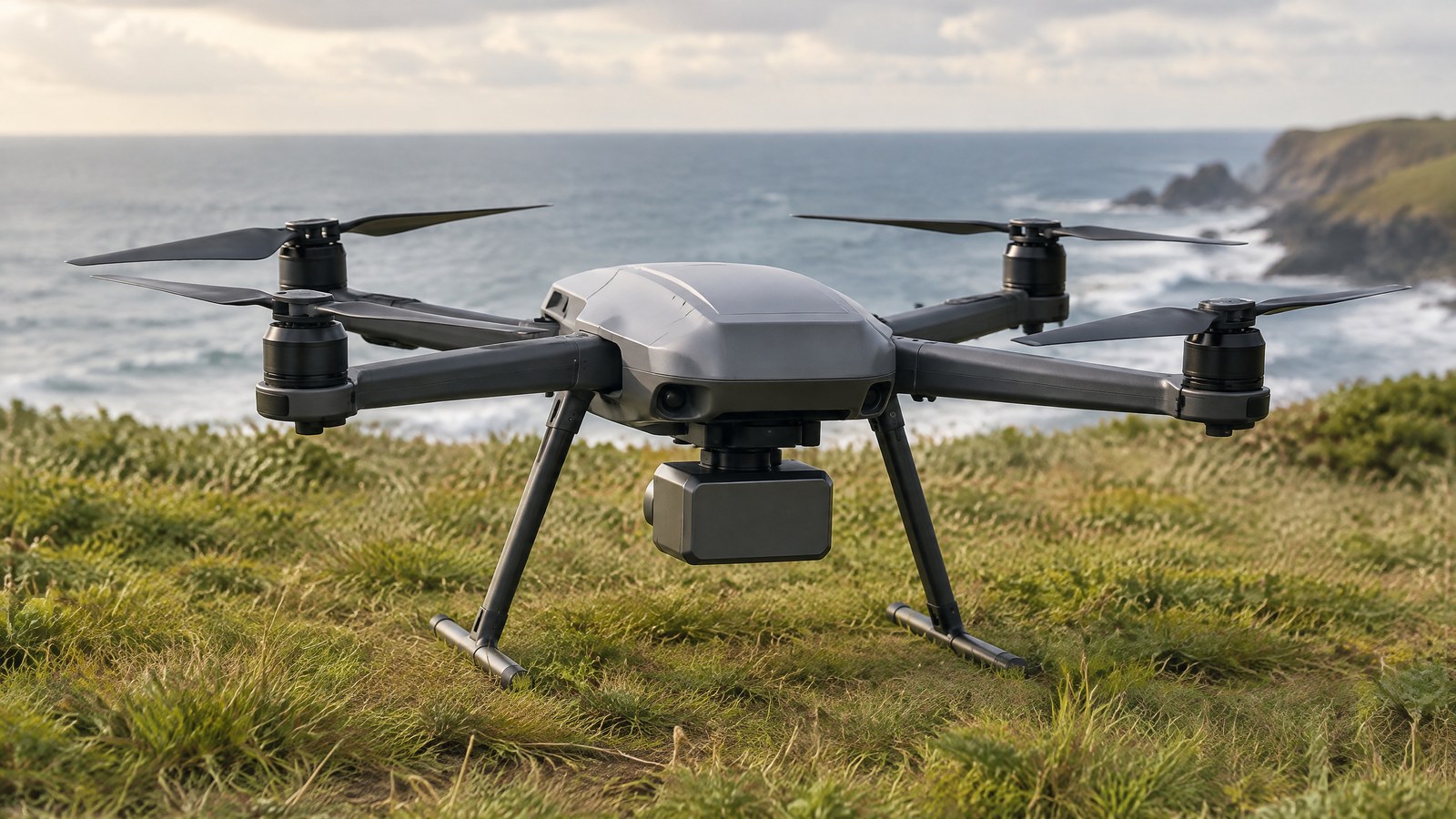
On an uneven field or beside a structure, a drone’s reported altitude can answer the wrong question: height relative to which surface? A civilian drone radar altimeter gives a ground-facing range measurement that can help an operator understand height close to the surface, but it does not grant permission, guarantee safety or replace responsible judgement. AI-generated editorial illustration of generic civilian drone hardware, not a photograph of a named product or an actual inspection. A radar altimeter is an active ranging sensor: it sends radio energy toward the surface below and interprets the returned signal to estimate distance. For an India-focused drone reader, the useful distinction is between this local, surface-relative measurement and other altitude figures that may be referenced to a departure point, a map datum or mean sea level. The difference matters when the ground, crop canopy or structure beneath the aircraft is not flat. [1] [2]
This article is part of the computer hardware technology guide library.
How a Civilian Drone Radar Altimeter Measures Height Above the Surface
A civilian drone radar altimeter is a downward-looking radio-ranging instrument. It estimates the distance between its antenna and the surface producing the usable return, so its value is best understood as a measurement of the immediate surface beneath the drone rather than a complete description of the airspace or a guarantee of clearance in every direction. [1] [3]
That distinction makes the sensor useful for awareness near the ground, but it also sets a limit. A reading cannot, by itself, identify every wire, branch, person, vehicle or side obstacle, and it cannot tell an operator whether a flight is permitted. A complete civilian operation still depends on direct observation, the aircraft’s documented capabilities, the site and current official requirements.
The basic radar-ranging principle
Radar ranging begins with a transmitted radio signal and an echo from the ground or another surface. In a pulse-based description, the return delay can be converted into range because radio waves travel at a known speed. In frequency-modulated continuous-wave, or FMCW, radar, changing the transmitted frequency creates a measurable difference between transmitted and returned signals that can be used to infer range. These are measurement principles, not a promise that all drone products use the same implementation. [3]
The term radio altimeter is also used in larger civil aviation. The Federal Aviation Administration describes that class of equipment as measuring height above terrain by detecting faint reflected signals; its rulemaking discusses systems in the 4.2–4.4 GHz aviation band. That band detail should not be transferred to a drone product by name alone: drone radar products can use different radar approaches and frequency ranges. [1]
Range to the surface is not every kind of altitude
A radar altimeter normally answers a local question: how far is the sensor from the surface returning the signal now? It does not inherently report height above mean sea level, the elevation on a survey drawing, or a route’s legal airspace limit. A barometric sensor, by contrast, infers height from air pressure and is commonly discussed relative to mean sea level; the crop-spraying UAS study notes that this is not a direct above-ground measurement. [2]
GNSS-based position and barometric readings can be useful in a drone system, but they measure or derive different things. Comparing them without their reference points can create a false disagreement. The sensible consumer question is not which number is “the real altitude” in isolation, but what reference each displayed number uses and what decision it is suitable for.
The surface is part of the measurement
A radar altimeter measures a return from within its field of view, not an abstract, perfectly level ground plane. On a farm, the return may correspond to crop canopy, exposed soil or something between them as crop density varies. The 2018 crop-spraying study identifies this ambiguity as a challenge for range sensing and also notes that spray droplets can interfere with readings in that specific context. [2]
Surface material, slope, uneven terrain and nearby objects can change the returned signal or what the system selects as a usable reflection. In a small-drone FMCW field experiment, researchers could distinguish metal-object reflections from ground reflections after processing. That is evidence that the reflecting material can matter; it is not evidence that every consumer drone will always identify the surface correctly. [3]
Radio sensing also has its own signal environment. The FAA’s discussion of aviation radio altimeters shows that a weak radar return may be susceptible to interference from nearby spectrum use, potentially yielding missing or erroneous data. The document concerns U.S. civil aviation rather than Indian drone law, but it is a useful reminder not to regard a radio measurement as infallible. [1]
Important Points / Key Information
The practical value of a drone radar altimeter is narrower and more useful than a marketing-style claim of “precision altitude.” It can supply a surface-relative ranging input near the ground; the meaning of that input depends on the returning surface, the sensor model, the aircraft documentation and the conditions of use. It does not replace a qualified assessment of a site, a pilot’s responsibility or an official permission check.
Key Takeaways
- A civilian drone radar altimeter estimates the distance to the reflecting surface below it using radio-wave ranging; it is not a map of all nearby hazards. [1] [3]
- The displayed value may describe distance to soil, crop canopy, water or another returned surface, so “height above ground” needs context. [2]
- It is different from pressure-derived height and GNSS-derived position. Those measurements can complement one another, but they do not share one automatic reference point. [2]
- Do not assume radio sensing is unaffected by every condition. Surface returns, field context and interference can affect whether a reading is useful. [1] [2] [3]
- In India, a sensor does not authorize a flight. The official Digital Sky platform and the Drone Rules require a current pre-flight check of applicable zoning, restrictions and permissions. [4] [5]
What a reader should verify in product information
A product page that merely says “radar altitude” leaves important questions unanswered. Read the manufacturer documentation for the stated measurement range, field of view, surface assumptions, environmental ratings, system warnings and what the value actually represents. A published number is meaningful only with its test conditions; it should not be treated as a result guaranteed at a different site.
Also separate sensing hardware from the decision made using its data. Some aircraft may combine multiple inputs in proprietary software, while another product may present a range value with no comparable interpretation layer. That architecture is product-specific. A radar-altimeter label alone cannot prove that a drone recognises hazards, meets an intended professional standard or is suitable for a particular task.
India: the airspace check is separate from the sensor
For civilian drone operations in India, the official Digital Sky portal presents a live airspace map and describes green, yellow and red zones. Its currently available Drone Rules text says a remote pilot must verify Digital Sky for applicable notifications or restrictions before beginning an operation. It also says red and yellow zones require prior permission, while a green-zone operation has no prior-permission requirement subject to that pre-flight verification. [4] [5]
Zones can change and temporary restrictions can be notified. Therefore, a radar-altimeter reading—however plausible it appears—does not establish that an operation is allowed or that the intended location remains suitable. Check the current official map and applicable official conditions for the precise place and time; this article is an explanation of a sensor, not a legal or operational clearance.
Examples / Supporting Information
The following examples explain where a ground-facing range measurement may be relevant. They are not claimed results, suggested flight procedures or evidence that a radar altimeter alone makes an activity safe, accurate or authorised.
Agricultural field awareness
In a civilian agricultural setting, a radar-altimeter reading may be relevant when the surface below changes from low vegetation to taller crop canopy or exposed soil. The measurement can indicate distance to the surface that produces the return, which may be more immediately relevant than a pressure-referenced altitude figure when terrain and crop height are uneven.
The research by Hentschke and colleagues makes the limitation concrete: it studied altitude sensing for a crop-spraying UAS and found that crop-density variation could change whether a range sensor observed plant tops, soil or an intermediate point. The work is useful evidence that the measurement context matters, not a basis for assuming a fixed sensor behaviour, application outcome or regulatory status on an Indian farm. [2]
Low-height civil inspection context
For a permitted civilian visual inspection of an accessible structure, a surface-relative range can be one piece of height-awareness information near the ground or a broad surface. It cannot establish structural condition, certify a safe stand-off, see around an obstruction or substitute for visual assessment and a competent inspection process.
A helpful comparison is with satellite radar altimetry. A satellite altimeter measures a long range to the surface below and combines that range with precise orbit information for geophysical products. A drone radar altimeter addresses a different, local aircraft-to-surface question; it is not a satellite-style survey instrument and should not be described as one.
Evidence should remain tied to the tested system
The 2023 small-drone study is a real, bounded example. Its authors used 77-GHz FMCW radar, processed the returns and reported altitude values in agreement with the drone’s altitude in their field experiment; they also distinguished metal-object reflections from ground reflections. [3]
That finding supports a careful conclusion: airborne radar can provide useful range evidence in a studied setup. It does not support a blanket claim about every civilian drone, every surface, every weather condition, every software implementation or every operation in India. For a buyer or operator, the most relevant evidence remains the exact aircraft documentation, the defined task and the applicable official requirements.
Conclusion
A civilian drone radar altimeter measures a local range to the surface that returns its radio signal. That can be valuable for understanding surface-relative height, especially where a simple pressure- or map-referenced altitude figure does not describe changing terrain or crop canopy. [1] [2]
Its limits are equally important: the returned surface may not be the surface a reader assumes, other obstacles may lie outside its useful view, and radio measurements can be affected by their environment. Treat the reading as one bounded input, not as proof of clearance, site safety, product suitability or legal permission. In India, the current official Digital Sky check and the remote pilot’s responsibilities remain separate from the sensor. [4] [5]
Source notes
Reporting record
techduopulse stores source destinations privately. Public notes remain non-clickable so every visitor journey stays on this website.
Radio altimeter height-above-terrain measurement principle and interference limitation
Primary source · How a Civilian Drone Radar Altimeter Measures Height Above the SurfaceCrop-surface ambiguity, spraying context and distinction between barometric and direct above-ground sensing
Secondary source · Examples / Supporting InformationFMCW ranging principle and bounded small-drone field-experiment findings
Secondary source · How a Civilian Drone Radar Altimeter Measures Height Above the SurfaceCurrent official airspace-map and flight-planning information
Primary source · Important Points / Key InformationMandatory Digital Sky pre-flight verification and zone-permission provisions
Primary source · Important Points / Key InformationInitial civilian drone-sensor explainer; sources and AI-generated illustrative imagery reviewed before publication.