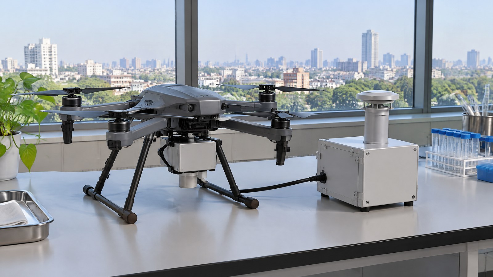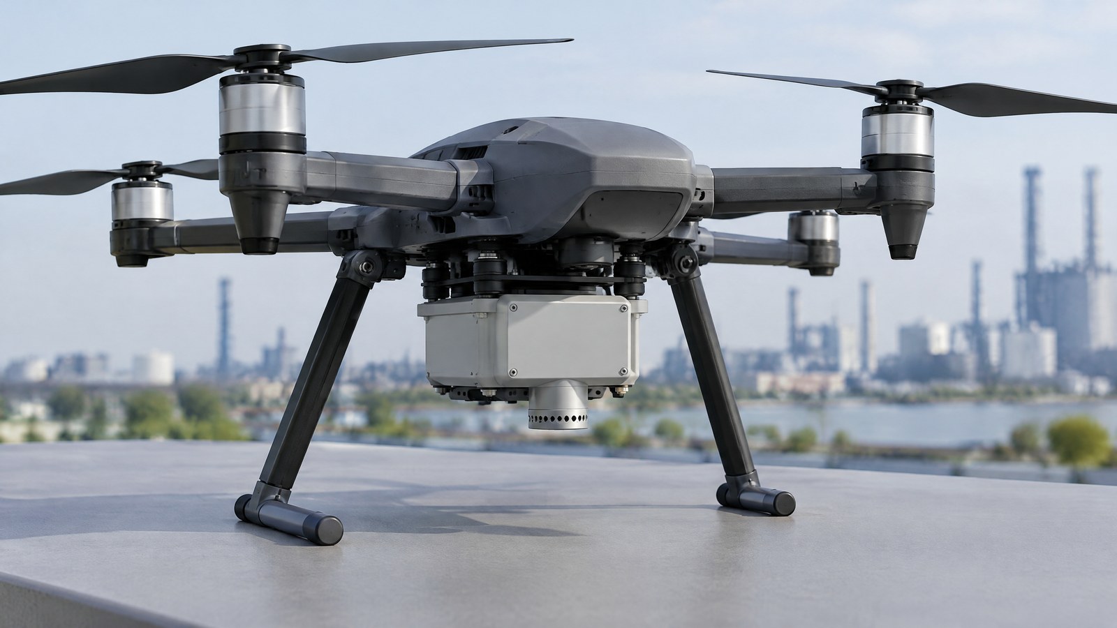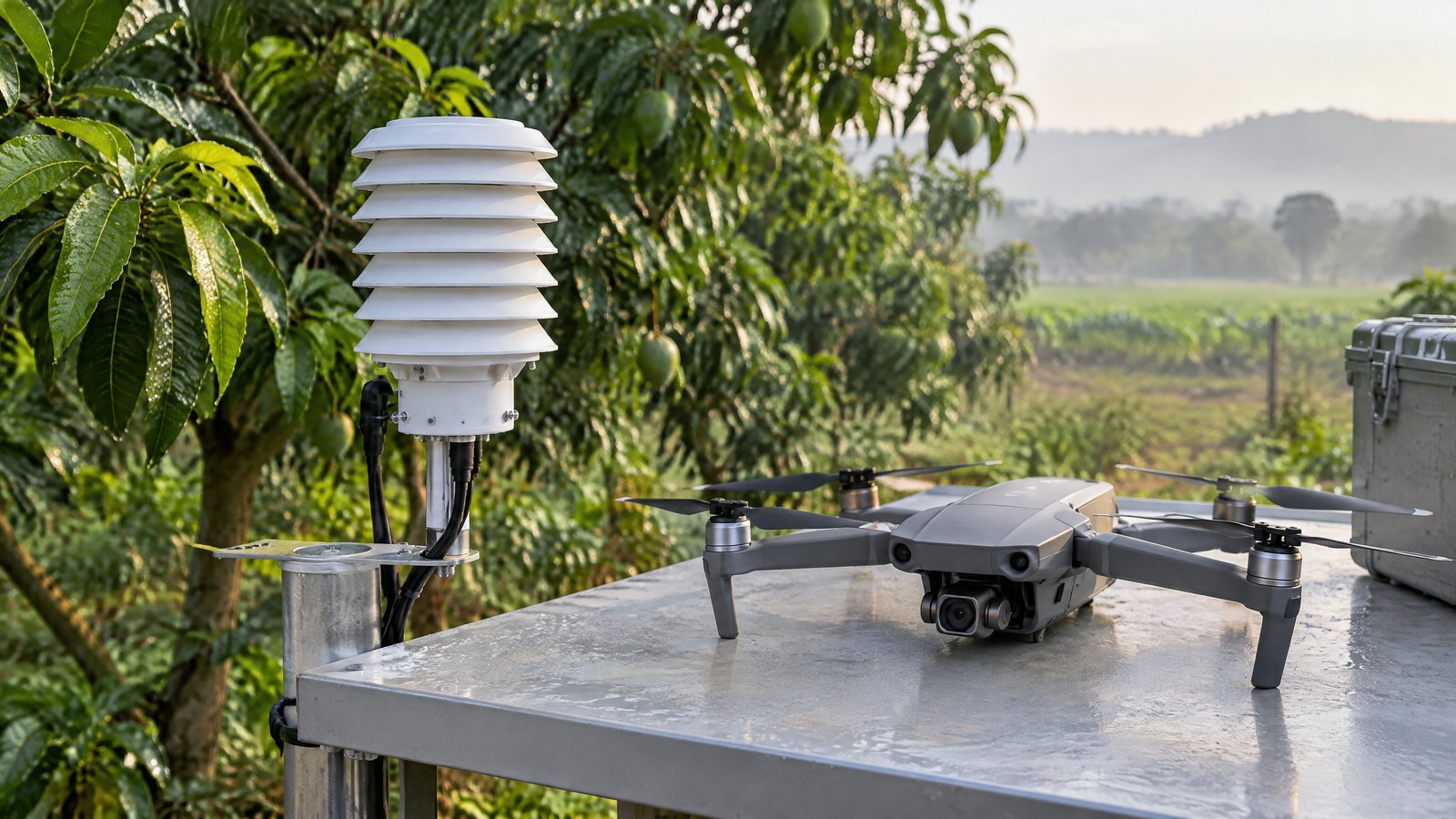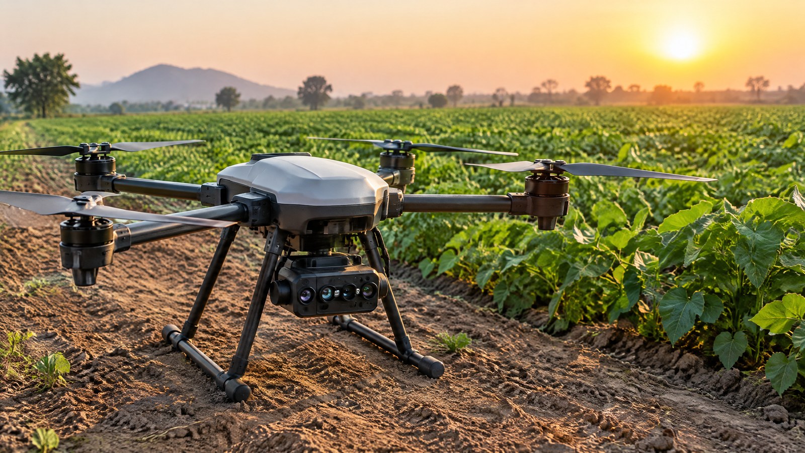
A field can look uniformly green from the ground while one area reflects light differently from its neighbours. A civilian drone multispectral camera can turn that difference into a map that helps focus field checking, as long as the map is not mistaken for a diagnosis or a farming instruction. AI-generated editorial illustration of generic civilian drone hardware, not a photograph of a named product or an actual inspection. For crop mapping in India, a drone multispectral camera sensor is most useful when readers understand its narrow job: it records selected bands of reflected light. It can reveal a pattern worth investigating with local crop, soil and management context; it cannot, by itself, prove disease, water shortage, nutrient deficiency, expected yield or the right treatment.
This article is part of the computer hardware technology guide library.
How a Drone Multispectral Camera Sensor Maps Crop Variation
A multispectral camera divides reflected light into a small number of selected wavelength bands instead of making one ordinary colour image. University of Nebraska–Lincoln Extension describes drone cameras that commonly capture three to five bands; examples may include blue, green, red, red-edge and near-infrared, or NIR. The available bands vary by camera model, so the label “multispectral” does not mean that every payload measures the same parts of the spectrum [1].
Most civilian drone multispectral cameras are passive sensors. They collect sunlight reflected from the crop canopy rather than sending out their own measuring light [1]. This is the key to both their value and their limit: a map can show relative reflectance patterns across a field, but the result is shaped by the plants, exposed soil, crop stage, viewing conditions and illumination. It is not a direct laboratory reading of plant health.
The practical output is usually a spatial comparison. Images collected over an authorised field can be processed into a mapped view so that an agronomist, grower or crop adviser can ask a more specific ground question: why does this patch differ from nearby comparable plants? The camera supplies one evidence layer. A defensible answer still needs field observation and, where appropriate, appropriate crop or soil assessment.
Why near-infrared and red-edge bands matter
Human vision ends before NIR, but leaves can reflect strongly in that region. The Nebraska extension guide explains that healthy plants commonly have much stronger NIR reflectance than RGB reflectance, while stress can reduce the NIR response [1]. That does not make NIR a disease detector. Many conditions can alter a canopy’s reflectance, including crop variety, growth stage, soil showing between plants, water status, nutrient status, pests, disease, shadows and physical damage.
Red-edge is the transition region between red and NIR. It can be useful because plant reflectance rises sharply there, and the same guide notes its relationship with plant-health condition [1]. A camera that includes red-edge may therefore support a different view of canopy variation than a camera that records only visible bands. The reader should still begin with the sensor’s actual band specification and not infer a capability from a marketing label or a false-colour palette.
From band measurements to a vegetation-index map
A vegetation index is a calculation that combines selected bands to make a difference easier to compare across an image. NDVI is the familiar example: it uses red and NIR reflectance. University of Arizona Cooperative Extension describes it as a biomass- or greenness-related index, while Nebraska Extension explains that indices help make spatial and time comparisons more meaningful [1] [2]. A higher or lower index value is still a derived signal, not a label saying what is wrong with a crop.
NDVI has a well-known growth-stage boundary. Nebraska Extension says it is most effective for variation in chlorophyll content and canopy density in early and mid growth stages, and that it tends to saturate after canopy closure. In high-biomass conditions, NDRE may retain more sensitivity because it uses red-edge in place of red [1]. Neither index automatically identifies a cause, transfers without validation between crops, or supplies a universal threshold for intervention.
A map also depends on more than the camera. Image assembly, location context, processing choices and the comparability of the captured scenes affect what is displayed. That is why a colour scale should be treated as a visual aid for comparison, not as a prescription map. A separate downwelling-light sensor may be used with some passive-camera systems to measure incoming light; it is a distinct sensor, not an ability that every multispectral camera has [1].
Multispectral camera limitations that change the map
Because the camera is passive, changing sunlight matters. Nebraska Extension cautions that atmospheric conditions vary from day to day and that illumination can change during a flight, making one part of a field appear brighter or darker than another [1]. A map captured under uneven cloud, haze or changing sun angle can contain appearance changes that are not crop changes. This is why reflectance calibration, capture conditions and comparison discipline matter when a result will be compared over time.
Peer-reviewed research by Fawcett and colleagues found that calibration and radiometry uncertainty could reduce the sensitivity of a drone-derived NDVI relationship with leaf-area index. The authors also identify solar angle and atmospheric composition as issues for multi-date stability, and call long acquisitions under changing illumination a shortcoming of drone monitoring [3]. Their study supports careful interpretation; it is not a universal accuracy claim for every camera, crop or field.
Ground detail can mislead too. A bare-soil gap, weeds, residue, standing water, a shadow, an uneven canopy or a different growth stage may shift a pixel’s band values. A multispectral map therefore should not be used to declare a disease, calculate a fertiliser or irrigation action, or forecast production without ground checks and qualified agronomic interpretation. The University of Arizona publication likewise reports that some experimental treatment differences were not easy to define through NDVI alone [2].
Important Points / Key Information
The right mental model is “pattern first, explanation second.” A drone multispectral camera sensor for crop mapping in India can help find an area that deserves a closer look, particularly where walking every part of a large field is difficult. It does not replace crop scouting, soil information, local weather context, records of irrigation or inputs, or the judgement of a suitably qualified adviser. A reliable report distinguishes what the map shows from what is still unknown.
India compliance is separate from image interpretation. The official Gazette text for the Drone Rules, 2021 says that a remote pilot must verify Digital Sky for applicable notifications or restrictions before an operation; it also says red- and yellow-zone operations require prior permission, while green-zone operation remains subject to that pre-flight check [4]. Zoning can change, so this article cannot establish whether a proposed operation is permitted today. The Ministry of Civil Aviation maintains an official page for the rules, and the DGCA directs users to verify critical details through official sources because procedures and information may evolve [5] [6] [7]. Before arranging any civilian crop-mapping operation, check current official DGCA and Digital Sky resources, the applicable rules and notices, local airspace and site conditions, and any project-specific requirements.
Responsible use also means having authority to work over the site, collecting only imagery needed for the agreed agricultural purpose, and controlling access to data. The sensor does not make a pilot an agronomist, and an agronomic interpretation does not remove the pilot’s responsibility for a lawful and safe operation. Keep those roles and decisions clear.
Key Takeaways
- A multispectral camera records selected bands of reflected light; the bands and resulting map capabilities vary by model.
- NIR, red and red-edge patterns can help locate canopy variation, but they do not diagnose disease, irrigation need, nutrient status or yield by themselves.
- NDVI can be useful for comparison but may saturate in dense canopies; light, calibration, soil exposure, shadows and crop stage can change a result.
- Treat an unusual map area as a reason for local field checking and qualified agronomic interpretation, not as an automatic instruction.
- For civilian work in India, make a current official DGCA and Digital Sky check for the intended operation; a sensor payload does not settle compliance.
A sensible question set before relying on a map
Start with the decision the map is meant to inform. Is it a field-scoping question, a repeatable crop-observation programme, a comparison of zones, or a request for a grower or adviser to visit a patch? Then ask which bands were actually recorded, whether conditions permit a fair comparison, what ground observations could confirm or challenge the pattern, and who is responsible for interpreting it. These questions are more useful than treating an index name as a diagnosis.
It is also sensible to compare like with like: the same crop, comparable growth stage and a clear record of conditions. If an apparent difference could be soil exposure, shade, a missing-plant area or changing illumination, it is not yet evidence of a single agronomic cause. A cautious workflow records the uncertainty and seeks corroboration rather than converting a coloured map into a claim of certainty.
Examples / Supporting Information
The examples below illustrate where civilian multispectral imagery can contribute useful context. They do not claim a performance result for a particular drone, crop, farm or Indian project, and they are not instructions for planning or conducting a flight.
Crop scouting: directing a ground visit
A lawful, authorised survey may show a part of a field with a different red/NIR or vegetation-index pattern from the surrounding canopy. The map can help a farm team decide where a field visit might be most informative. On the ground, the team may then examine stand density, weeds, soil exposure, moisture conditions, pests, disease symptoms or management history. The image has narrowed a question; it has not selected an explanation.
This approach is consistent with the University of Arizona extension publication, which frames drone sensing as a crop-management information source while also showing that interpretation needs skill and that not every treatment difference is clear in NDVI [2]. For an Indian crop context, a responsible statement is “this zone warrants local checking,” not “the multispectral map has proved a crop problem.”
Repeat observation: comparing patterns, not declaring a trend
Where an authorised civilian programme compares a field at different times, its strongest use is often relative: look for a change that remains meaningful after accounting for crop stage, light and processing conditions. Fawcett and colleagues found good correspondence between drone vegetation indices and reference datasets in their studied maize setting, but they also emphasised calibration, directional effects and changing illumination [3]. That combination is a useful reminder that repeat imagery can support monitoring without becoming a guarantee of comparable numbers across dates.
A hypothetical vegetable or cotton field in India might show a recurring low-index zone. That is a plausible reason to record the pattern and inspect the zone with local knowledge. It is not proof that one specific factor caused the pattern, and it is not a remotely issued prescription for water, fertiliser or crop-protection inputs.
Environmental mapping: evidence with boundaries
Multispectral imagery can also contribute to benign environmental observation, such as documenting vegetation variation in a permitted restoration, nursery or landscape-management area. The same interpretation boundary applies. Reflectance differences can identify a location for follow-up, but they do not by themselves establish habitat condition, plant species, water quality or compliance with an environmental standard.
A useful record states the observed pattern, capture conditions, comparison basis and next verification question. It does not upgrade a remote colour difference into a certification or a conclusion about a site’s ecological health. That restraint makes the output more useful to the people who need to make a careful decision from it.
Conclusion
A civilian drone multispectral camera makes selected reflected-light differences visible across a crop area. Its practical strength is helping an authorised team prioritise where to look next; its weakness is that the same visual pattern can have several causes. Bands, indices, calibration, illumination, soil exposure and crop stage all shape the evidence.
For readers in India, use the technology as one careful input: confirm the actual sensor bands, preserve the conditions behind a comparison, ground-check meaningful patterns and seek qualified agronomic judgement before acting. Separately, make a current official DGCA and Digital Sky check for the intended civilian operation. A map can guide a question, but it cannot replace pilot responsibility, local verification or a live compliance decision.
Source notes
Reporting record
techduopulse stores source destinations privately. Public notes remain non-clickable so every visitor journey stays on this website.
Explains passive drone multispectral cameras, commonly used bands, NIR and red-edge interpretation, vegetation indices, illumination effects and NDVI saturation.
Primary source · Measurement principles, index interpretation and limitationsPeer-reviewed extension publication on RGB, multispectral and thermal crop sensing, NDVI interpretation, field-study context, processing and growth-stage limitations.
Primary source · Supporting crop-scouting examples and limitsPeer-reviewed study describing calibration and radiometry uncertainty, solar-angle and atmospheric effects, directional effects and changing-illumination limits in drone multispectral monitoring.
Secondary source · Calibration and repeat-observation limitationsRules 19–23 provide for the Digital Sky airspace map and interactive tools, mandatory pre-flight verification of restrictions, prior permission in red or yellow zones, green-zone operation subject to verification, and dynamic zoning.
Primary source · India official compliance checkOfficial Ministry landing page for the Drone Rules, 2021 and Gazette notification; supports directing readers to current official resources rather than a static legal conclusion.
Primary source · India official compliance checkOfficial DGCA drone-resources page that advises verification of critical details through official sources because information and procedures may evolve.
Primary source · India official compliance checkOfficial Digital Sky platform named as a current resource to consult alongside official DGCA and Ministry materials.
Primary source · India official compliance checkInitial civilian drone-sensor explainer; sources and AI-generated illustrative imagery reviewed before publication.