On a civilian drone, a small compass sensor can make a directional reading look more certain than it is, especially around magnetic material or powered equipment. This guide to drone magnetometer compass sensor basics helps an Indian reader separate useful directional context from a claim about a site, a route or regulatory clearance.
This article is part of the computer hardware technology guide library.
How a Civilian Drone Magnetometer Measures Direction and Field Change
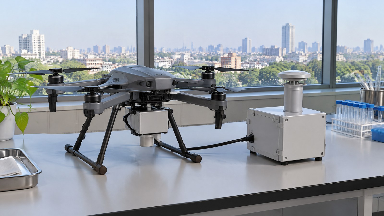
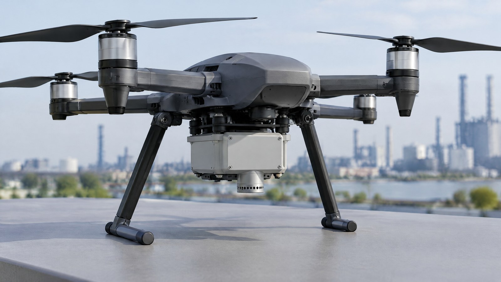
AI-generated editorial illustration of generic civilian drone hardware, not a photograph of a named product or an actual inspection.
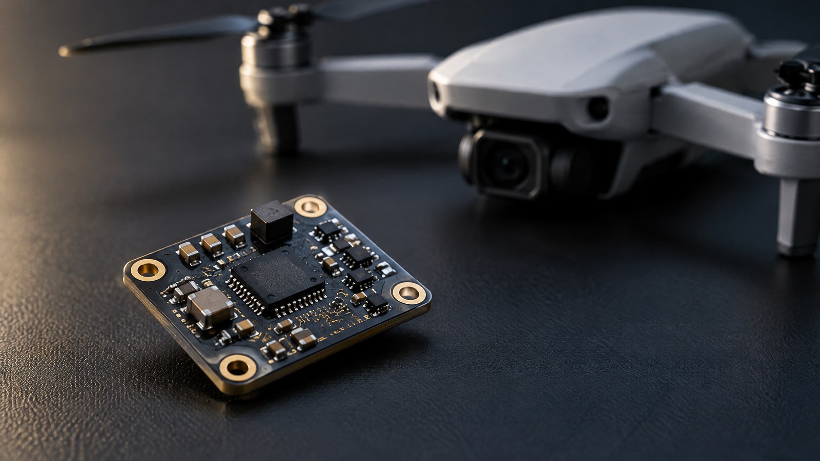
A drone magnetometer is an electronic sensor that measures the local magnetic field. In a consumer aircraft it is commonly described as a compass sensor because a system can use its measurement as part of a heading estimate. In a dedicated civilian survey, a magnetometer can instead be the instrument collecting magnetic-field data over an area. Those are related uses, but they should not be treated as the same promise of accuracy or purpose.
Earth’s magnetic field provides a broad reference, not a perfectly uniform background. NOAA describes the World Magnetic Model as a standard model for navigation, attitude and heading reference systems that use the geomagnetic field. It also notes that a compass points toward magnetic force at the location, which is often different from geographic north, and that the angular difference changes with place and time. [2]
It senses a field vector, not a map or a destination
The useful mental model is a local field measurement in three dimensions. A magnetometer does not see a road, an obstacle, a property boundary or a safe corridor. Nor does it independently identify what object caused a magnetic change. A heading shown by a drone is an estimate made in context; the raw measurement is only one piece of information that a device may use.
This distinction matters when comparing a compass sensor with satellite positioning. NOAA explains that GPS gives point location, while direction from GPS is derived after collecting successive locations during movement; electronic compasses can complement it with an immediate magnetic heading. [2] That high-level relationship does not mean either input is always correct, and it is not a claim that a particular drone can navigate safely when another source is weak or unavailable.
Magnetic north, true north and a changing reference
Magnetic north and geographic north are not interchangeable labels. Magnetic declination is the local angle between them. A wide-area model can help account for that difference, but it is not a local inspection of a drone or a guarantee about a reading beside a structure, vehicle, cable or powered equipment. NOAA states that WMM2025 was released on 17 December 2024 and is intended to remain valid until late 2029; even that model is updated on a five-year cycle because Earth’s magnetic field changes. [2]
For a nonexpert, the practical lesson is modest: treat a compass indication as directional context, not a proof of exact orientation. If direction is material to a permitted professional task, the responsible operator and relevant qualified professionals need to judge the complete equipment, environment and task. This article deliberately does not provide calibration, configuration or flight-tuning instructions.
Why the drone and its surroundings can distort a reading
A field sensor responds to the field present where it is located. That includes the desired Earth field and potentially unwanted fields from nearby ferromagnetic material or electrical equipment. A peer-reviewed 2021 review of 70 studies on UAV magnetic surveys identifies the aircraft’s own magnetic interference as a central data-quality problem. It discusses engines, servos, ferromagnetic elements and, for multirotors, densely distributed brushless motors as interference sources in the surveyed systems. [1]
That evidence is about survey integration, not a consumer checklist. The review says increasing the distance between a survey instrument and the aircraft can reduce interference but can also introduce positional or directional error and impact risk; compensation approaches can create their own data and payload demands. [1] In other words, a dedicated aerial magnetic survey is a designed measurement system with trade-offs, not simply a standard drone compass put to a new job.
Surroundings also matter. A local reading near steel reinforcement, a parked vehicle, an electrical installation or other magnetic material may not represent the broader area. The evidence supports caution about interference; it does not let a reader identify the source of a change from one reading alone.
Two civilian roles that should not be confused
First, an onboard compass sensor can contribute to a drone system’s directional awareness. It is a supporting input, not a visual inspection tool, a collision sensor, an airspace authorisation device or a substitute for pilot responsibility. A malfunction warning or a stable-looking display cannot by itself establish why a reading is wrong or whether an operation is appropriate.
Second, a purpose-built magnetometer payload can collect data for civilian geoscience work. The U.S. Geological Survey explains that aeromagnetic surveys measure the intensity of Earth’s natural magnetic field. Because different rock formations can alter that field, patterns in high-quality data can help scientists model aspects of crustal geology. [3] This is a scientific interpretation workflow, not an instant finding about a parcel of land, a construction site or a mineral deposit.
The distinction prevents a common category error: a drone may contain a small compass sensor, while a magnetic-survey project may use specialised sensing, location, timing, processing and expert interpretation. One does not turn into the other just because both involve magnetic field measurements.
Important Points / Key Information
Key Takeaways
What a magnetometer cannot tell you is as important as what it can measure. A single value does not establish object identity, depth, material type, structural condition, environmental quality, land ownership or a safe outcome. Even a pattern of measurements needs relevant survey design, context and professional interpretation before it can support a consequential decision.
The published record should also be kept clear about limits. USGS describes how rock formations can alter field readings and how high-quality aeromagnetic data can assist geological characterisation. [3] It does not say that a magnetic anomaly confirms a resource, hazard or site condition. Likewise, the UAV review documents interference issues but does not establish a universal accuracy figure for civilian drones. [1]
India’s official Digital Sky portal presents current airspace-zone information and links to the Drone Rules, 2021 and Amendment Rules, 2022. The rules document says a remote pilot must verify Digital Sky for relevant notifications or restrictions before beginning a UAS operation, and says the airspace map may be updated. [4] [5] A reader should therefore use current official information for the intended operation rather than assume that a past screen, a generic article or a sensor capability settles the question.
- A drone magnetometer measures the magnetic field at the sensor; it is not a map, camera, obstacle detector or compliance system.
- A compass-style heading can differ from geographic north because magnetic declination varies by location and time. [2]
- The drone platform and nearby material can influence magnetic measurements, which is why survey-quality data needs system-level design and interpretation. [1]
- For any intended operation in India, check the current official Digital Sky information for the actual area and date; a sensor does not determine airspace permission. [4] [5]
Examples / Supporting Information
A useful real-world supporting example comes from geoscience rather than from a consumer drone product. USGS says that aeromagnetic surveys measure the intensity of Earth’s natural field and that differences among rock formations can produce variations from which scientists build two- and three-dimensional models of crustal geology. It lists geologic mapping and structure, mineral resources, groundwater, earthquake hazards, volcanic hazards and petroleum resources among areas where high-quality data can help characterisation. [3] These are examples of what a mature scientific data set may support, not a checklist of results that any drone magnetometer can deliver.
The size of the interpretation problem is also instructive. NOAA says that, in mineral exploration, small crustal magnetic signals are typically in the hundreds of nanoteslas while the main field is typically 20,000 to 60,000 nanoteslas. [2] That contrast helps explain why the reading is not self-explanatory: a relevant variation may be much smaller than the background field and must be separated from it and from local interference. This article does not treat that process as a do-it-yourself task.
Hypothetical, not a reported Indian finding: an organisation with permission to work over an authorised study area could commission qualified geophysical professionals to collect magnetic observations alongside other lawful field information. A resulting anomaly might be a reason for further assessment, not an identification of an object, a safety verdict or an instruction to excavate. The example is deliberately conditional because data quality, local geology, equipment and project method determine what can reasonably be inferred.
For a civilian drone owner, the smaller everyday example is simply to understand the difference between a sensor reading and a conclusion. A compass sensor may provide directional context while a flight is otherwise lawful and appropriately managed; it does not make the flight lawful, demonstrate that a site is clear, or replace the current India airspace check. Digital Sky defines green, yellow and red zones and describes online flight-plan requests, but an article cannot determine the live status of a reader’s location or whether an approval will be granted. [4] [5]
Conclusion
A civilian drone magnetometer is best understood as a local magnetic-field sensor that can support directional context, while specialised versions can contribute to carefully designed magnetic surveys. Its value depends on the field it sees, the wider system and the question being asked. It cannot by itself prove a heading, reveal what lies below a site, clear an operation or establish compliance.
For readers in India, keep the technical and regulatory questions separate. Learn the limits of the compass sensor, leave consequential survey interpretation to qualified work, and verify current restrictions and permissions through official Digital Sky and DGCA resources for the actual planned operation. [4] [5]
Source notes
Reporting record
techduopulse stores source destinations privately. Public notes remain non-clickable so every visitor journey stays on this website.
UAV magnetic-survey platforms can introduce magnetic interference; mitigation has trade-offs.
Secondary source · How a Civilian Drone Magnetometer Measures Direction and Field ChangeEarth-field reference models, magnetic declination, and the distinction between immediate compass heading and GPS-derived travel direction.
Primary source · Magnetic north, true north and a changing referenceAeromagnetic surveys measure the intensity of Earth’s natural magnetic field; rock formations can alter readings used in geological modelling.
Primary source · Examples / Supporting InformationIndia’s Digital Sky portal presents airspace zones, flight-planning information and links to current regulatory resources.
Primary source · Important Points / Key InformationRules 19–23 cover the Digital Sky airspace map, pre-flight verification of restrictions, permissions and map updates.
Primary source · Important Points / Key InformationInitial civilian drone-sensor explainer; sources and AI-generated illustrative imagery reviewed before publication.