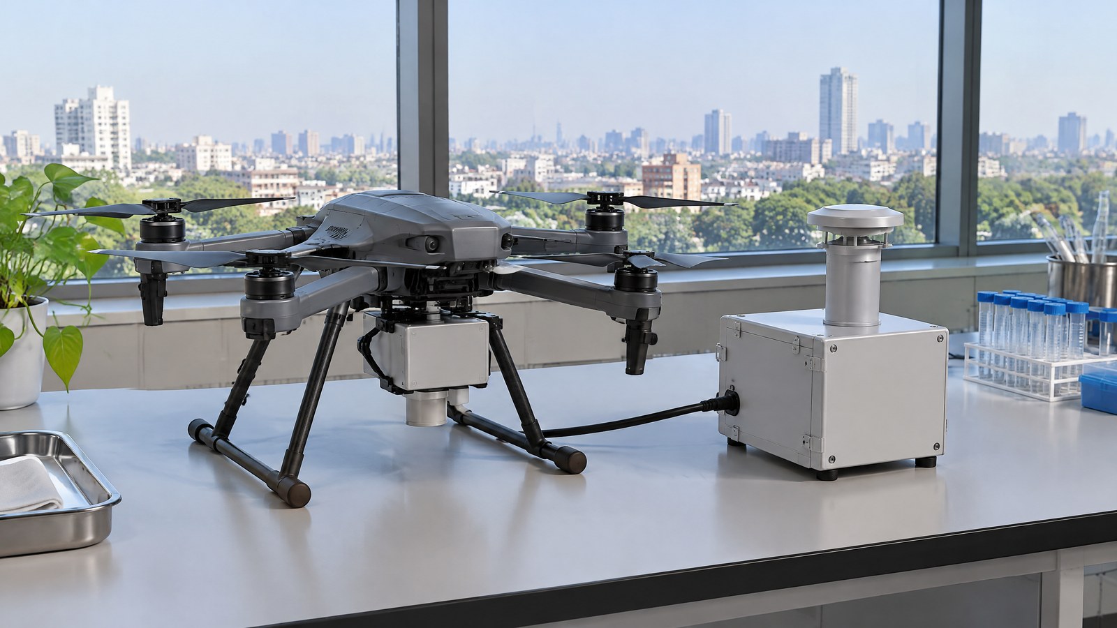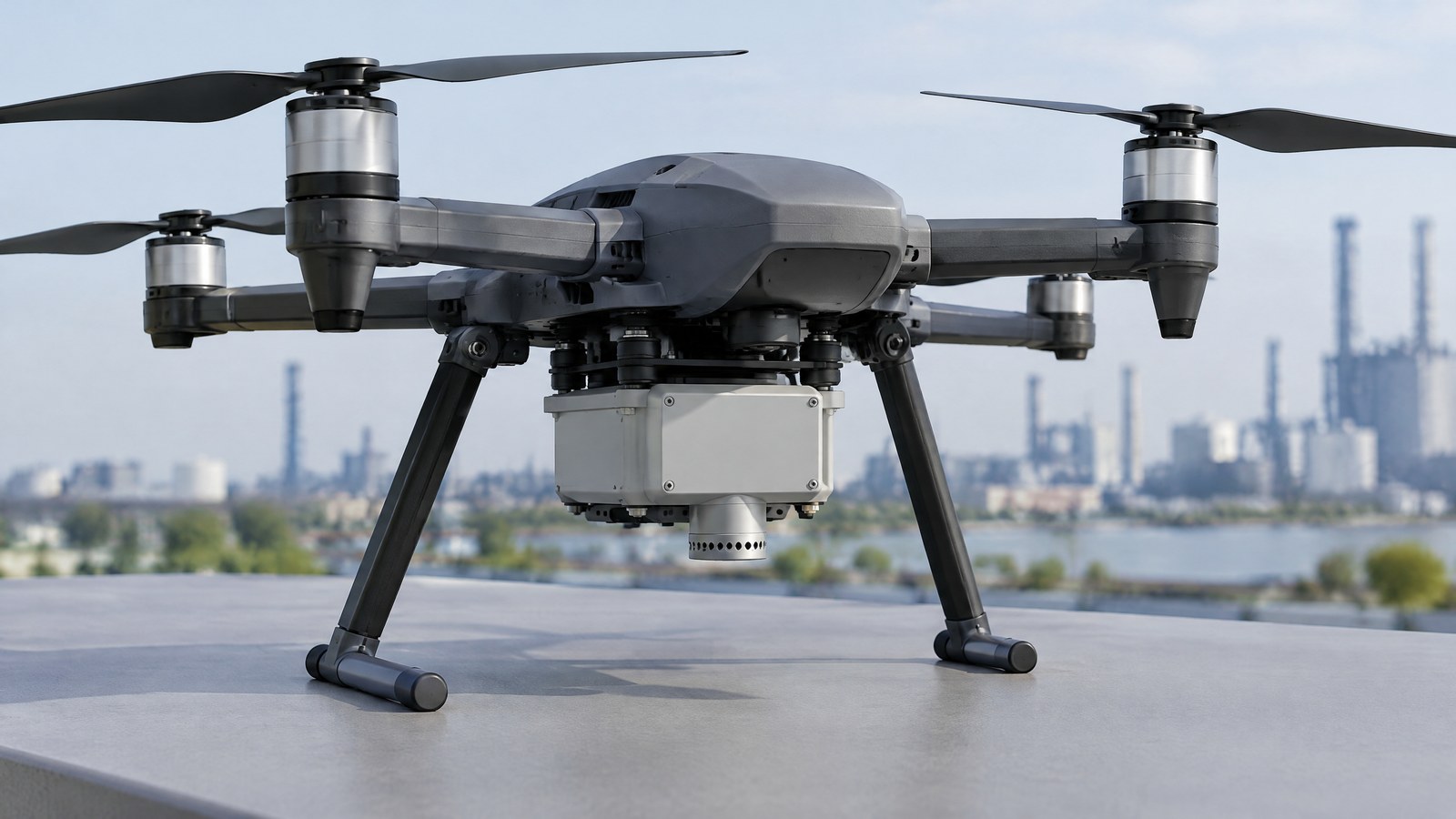
A drone can be close enough to a branch, cable or wall for a pilot’s view to be difficult, yet a distance sensor can still leave blind areas. A LiDAR obstacle-awareness sensor helps turn nearby reflected laser returns into distance information, so a civilian operator can better understand what may be near the aircraft without mistaking that information for a safety guarantee. AI-generated editorial illustration of generic civilian drone hardware, not a photograph of a named product or an actual inspection. This India-focused guide explains the drone LiDAR sensor for obstacle awareness in plain English: the physical measurement, the gap between a return and a reliable interpretation, conditions that can reduce useful sensing, and the operator responsibilities that remain. It concerns near-aircraft awareness in civilian inspection or environmental work—not military use, surveillance evasion, autonomous setup instructions, or a LiDAR survey-mapping workflow.
This article is part of the computer hardware technology guide library.
How a drone LiDAR sensor supports obstacle awareness
A LiDAR obstacle-awareness sensor is an active ranging device. It emits laser light, detects returned light from surfaces in its coverage, and uses the time taken by the light to travel out and back to estimate distance. With the direction of a sample known, the result can be placed as a point relative to the sensor. A collection of points can indicate where nearby surfaces or possible obstructions may be. The PLOS ONE study “Autonomous aerial obstacle avoidance using LiDAR sensor fusion” describes this time-of-flight ranging principle for an aerial-vehicle context [1].
That definition is deliberately narrower than “the drone sees everything.” LiDAR supplies range-related observations; software and the wider aircraft system determine how observations are represented, combined with other inputs and presented. A research paper may describe perception, processing and motion-control modules as separate parts of a proposed system, which is a useful reminder that a sensor return is not itself a complete avoidance decision [1].
LiDAR measures a return, not an object label
A return says that emitted light came back from a direction after a measured interval. It does not, by itself, identify “tree,” “person,” “wire” or “safe route.” Turning sampled returns into an obstacle representation requires interpretation, and the representation can be incomplete or uncertain. Thin features, edge-on surfaces, moving elements and gaps outside a sensor’s coverage all deserve caution rather than a confident label.
This distinction helps a nonexpert read product language. “Detection range,” “measurement range,” “field of view” and “obstacle sensing” are not interchangeable promises. A quoted range can describe a particular target and test condition; a field of view describes where a sensor is designed to gather data, not proof that every object within that volume will be recognised in every circumstance.
From points to local awareness
For civilian work, the useful outcome is local awareness: a pilot or approved operational team can treat a nearby return pattern as information worth checking. That can be relevant when visually assessing a building exterior, a tree line around an environmental observation site, or another lawful civilian scene where nearby structures reduce a clear view. It is information to support judgment, not a replacement for observation, pre-flight assessment, or conservative operating decisions.
Some aircraft pair LiDAR with other sensing methods because each has different blind spots. DJI’s Matrice 400 specification, for example, lists vision, rotating LiDAR, an upper LiDAR, a downward infrared range sensor and mmWave radar as distinct elements of its sensing suite [2]. This is a product-specific illustration of sensor complementarity, not evidence that every civilian drone has those features or that combined sensors eliminate risk.
Obstacle awareness is not LiDAR survey mapping
The word LiDAR can describe more than one application. An obstacle-awareness sensor is concerned with range information around the aircraft at the time of operation. An aerial LiDAR mapping payload is used to collect spatial measurements for a point-cloud or mapping data product, typically with different coverage, positioning, processing and quality-assurance questions. Neither label proves the other capability.
Keeping these intents separate makes a better buying or learning decision. A mapping output may help document terrain, vegetation or structures after suitable processing; it does not automatically provide dependable near-aircraft awareness. Conversely, a local awareness feature is not proof that a drone has produced a survey-grade map. The same laser-ranging family can serve different purposes, just as the site’s spaceborne laser-altimeter explainer concerns elevation measurement from orbit rather than an aircraft’s nearby-obstacle awareness.
Important Points / Key Information
Key Takeaways
- A drone LiDAR sensor for obstacle awareness estimates distance from returned laser light; it does not automatically identify every object or certify a path as safe.
- Stated sensing range is conditional. Target reflectivity, angle, weather, illumination, coverage and the exact model can change the useful return.
- LiDAR obstacle awareness is distinct from aerial LiDAR mapping. One concerns nearby awareness during an operation; the other concerns collecting and processing spatial data.
- In India, a sensing feature does not replace a current official Digital Sky/DGCA check or the remote pilot’s responsibility to avoid unsafe operation.
Range and field of view are conditions, not guarantees
A sensible reading of a specification begins with the conditions printed beside the number. DJI lists its Matrice 400 rotating LiDAR’s standard measurement range as 0.5–100 metres at 100,000 lux with a 10% reflectivity target, and gives a 360-degree horizontal by 58-degree vertical field of view [2]. Those details are not a universal range claim. They demonstrate why a range figure must stay attached to its target reflectivity, light level, coverage and particular hardware.
Coverage has a practical consequence: a sensor cannot return what it does not sample, and a listed field of view is not necessarily full coverage above, below or around every part of an aircraft. Nor does a model-specific figure establish how an individual aircraft will perform near every surface. Product documentation for the exact aircraft and its documented operating conditions should take priority over generic summaries.
Surface, weather and geometry can reduce a useful return
Surface reflectivity and observation angle can change the character of light that returns to LiDAR. Broad, diffuse surfaces facing a sensor may differ from angled or low-reflectivity surfaces, and distance also matters. These are measurement limits, not a reason to assume a particular object is either invisible or reliably detected without checking the exact system documentation.
Adverse weather can add another limitation. A 2024 Sensors study in an automotive context explains that rain can reduce point-cloud returns and can produce premature returns from raindrops; it also reports that fog, rain, distance, observation angle and surface reflectivity influenced results [3]. The study does not set drone rules or drone-specific thresholds, but its optical lesson transfers: weather and target conditions can make a laser-ranging observation less dependable.
What a LiDAR awareness feature cannot assure
It cannot assure that every cable, branch, wall edge, bird, person or moving object has been detected. It cannot determine whether a flight is permitted, whether an operating area is safe, whether a pilot has maintained the required awareness, or whether a sensor’s indication is sufficient for a particular task. It also cannot replace qualified inspection assessment: a distance pattern near a structure does not diagnose that structure’s condition.
Remote ID should not be folded into the sensor claim. Remote ID is a broadcast function that can use positioning inputs; it is not a physical obstacle-awareness sensor. GNSS or RTK equipment likewise supports positioning-related functions and does not turn a LiDAR return into a universal centimetre-accurate obstacle measurement. Treat each component according to what it actually measures or broadcasts.
India: the sensor does not change operating responsibility
For an India-based reader, the right regulatory conclusion is not “LiDAR makes an operation compliant.” The Ministry of Civil Aviation hosts the official Drone Rules, 2021 notification [4]. In the Gazette text, Rule 21 requires a remote pilot to verify the Digital Sky platform for notifications or restrictions applicable to the intended operating area before commencing an operation [5].
The same Rules say that operating in red or yellow zones requires prior permission, while green-zone operation remains subject to the Rule 21 check; the airspace map may be updated [5]. Rule 26 prohibits operating a UAS in a way that endangers the safety and security of a person or property [5]. Check the current official Digital Sky/DGCA information before any operation, including for local restrictions or later changes. This article is technical education, not legal advice or a permission assessment.
Examples / Supporting Information
The following are illustrative civilian scenarios, not reports of field tests, product demonstrations or advice to configure an aircraft. They show where the measurement concept may be relevant and where its limits still matter.
Hypothetical exterior-inspection context
Imagine a lawful building-exterior observation where a remote pilot has planned the operation, checked the current applicable restrictions and keeps the aircraft within the approved operating framework. Near a facade, LiDAR returns could add distance-related awareness of broad nearby surfaces. They do not establish that every ledge, wire, window edge or temporary obstruction is captured, and they do not decide whether the building needs repair. The sensor is one input; visual awareness, conditions and responsible human judgment remain necessary.
This is a local-awareness use case, not a mapping claim. If the task instead requires documented geometry or a deliverable point cloud, the team needs a separate mapping method and an appropriate data-quality process. A local distance indication should not be repurposed as evidence that dimensions, clearances or a structural condition have been verified.
Hypothetical environmental-observation context
Consider a permitted civilian environmental observation near vegetation. A LiDAR obstacle-awareness sensor may show returns associated with nearby branches or terrain within the sensor’s coverage. Leaves moving in wind, gaps between branches, rain, surface angle and coverage boundaries can all complicate what the operator sees. The safe interpretation is “information to consider,” not “a complete picture of every hazard.”
The purpose here is to explain a measurement boundary. It is not an instruction to automate a route, tune flight controls or use a drone beyond applicable operating limits. The person responsible for the operation still has to account for the actual site, aircraft documentation, weather and current official requirements.
What the cited examples actually demonstrate
The manufacturer example is useful because it exposes the conditions behind a headline range. DJI’s listed 0.5–100 metre figure names a light level and a 10% reflectivity target, while the sensing suite lists several different technologies [2]. It is not an independent test, a recommendation, an India availability statement or a promise about any other aircraft.
The PLOS ONE research is useful because it separates LiDAR perception from later processing and notes that its proposed approach was validated in a 3D simulation environment. Its disclosed experimental LiDAR had a 0–10 metre range and 10 Hz sampling frequency [1]. Those are study-specific details, not product benchmarks. Together with the weather study, the evidence supports a cautious consumer understanding: measurements have conditions, and a sensor feature should be evaluated as assistance rather than a guarantee [1] [3].
Conclusion
A LiDAR obstacle-awareness sensor gives a civilian drone active, range-related information about returns from surfaces near its sensed coverage. That can improve local awareness in benign inspection or environmental contexts, but it cannot see every relevant feature, label every return, approve an operation or replace a responsible pilot’s judgment.
For readers in India, keep the two questions separate: what the exact sensor can measure under documented conditions, and what the current official rules allow at the intended location. Review the manufacturer’s limits, treat weather and surfaces as real uncertainties, and conduct the required live official check. That is a more useful standard than assuming that a LiDAR label makes an aircraft automatically safe or compliant.
Source notes
Reporting record
techduopulse stores source destinations privately. Public notes remain non-clickable so every visitor journey stays on this website.
Time-of-flight LiDAR ranging, separation of perception from later system components, and study-specific simulation limitations
Primary source · How a drone LiDAR sensor supports obstacle awarenessModel-specific multi-sensor suite and LiDAR range, reflectivity, illumination and field-of-view conditions
Primary source · Range and field of view are conditions, not guaranteesQualitative evidence that precipitation, fog, distance, angle and reflectivity can affect LiDAR returns
Secondary source · Surface, weather and geometry can reduce a useful returnOfficial Ministry page hosting the Drone Rules, 2021 notification
Primary source · India: the sensor does not change operating responsibilityDigital Sky restriction check, zone-permission baseline, updateable map and prohibition on unsafe operation
Primary source · India: the sensor does not change operating responsibilityInitial civilian drone-sensor explainer; sources and AI-generated illustrative imagery reviewed before publication.