A civilian drone can look steady in the air while its onboard electronics estimate tiny changes in tilt, rotation and acceleration, but an IMU is only one part of the system. This guide explains what a drone IMU sensor—the inertial measurement unit (IMU)—measures, where its estimates stop, and why it does not prove perfect positioning, automatic safety or survey quality.
This article is part of the computer hardware technology guide library.
How a Drone IMU Sensor Turns Motion Into an Estimate
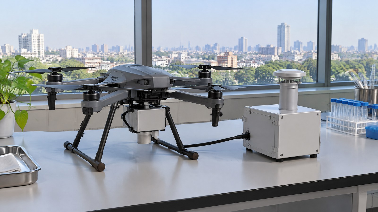
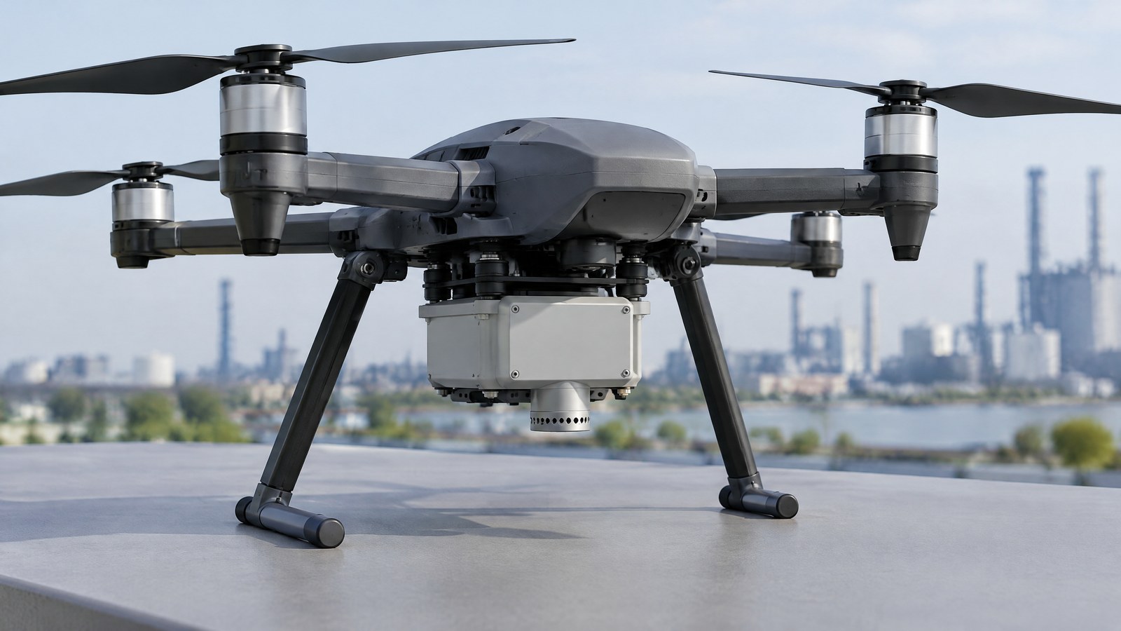
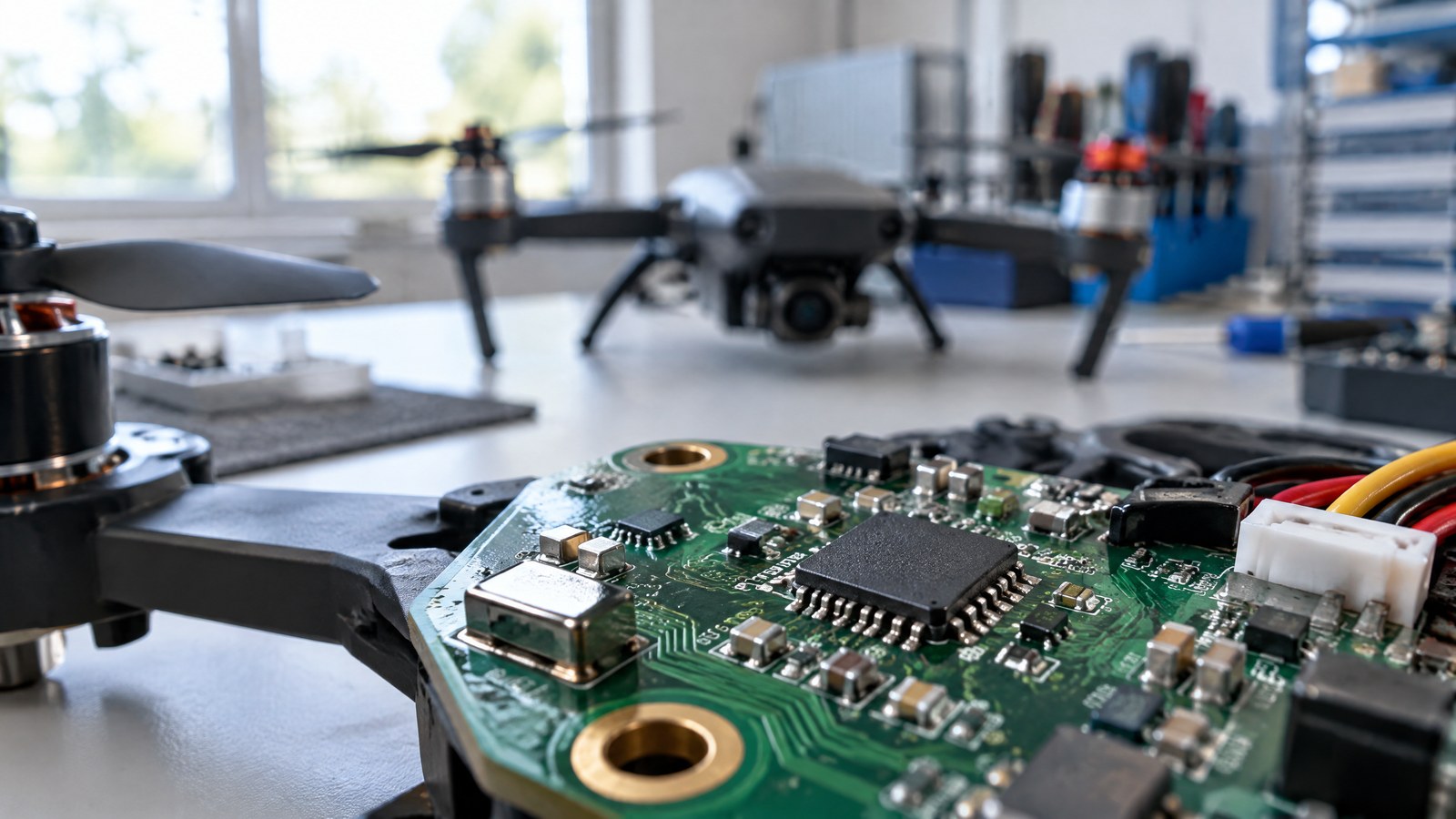
AI-generated editorial illustration of generic civilian drone hardware, not a photograph of a named product or an actual inspection.
An IMU is best understood as a compact motion-measurement package. It senses how the aircraft is turning and accelerating around its own axes, then the drone’s software uses those time-stamped measurements to estimate movement and orientation. That estimate is valuable because a drone moves in three dimensions and its camera, positioning receiver and other systems need a current sense of the aircraft’s motion. It is still an estimate: an IMU does not directly see a building, measure the distance to an object, know its legal operating zone or certify the quality of a map.
What an IMU contains and measures
For readers seeking drone IMU sensor basics, begin with the two quantities it measures. A common consumer-style IMU is described as six-axis because it has three gyroscope axes and three accelerometer axes. The gyroscopes report angular velocity: how quickly the aircraft is rotating around each of its own axes. The accelerometers report linear acceleration along those axes. Epson’s technical explainer describes that standard arrangement and notes that some designs also record temperature information. [3] The axis labels describe the sensor’s orientation inside the aircraft; they are not automatically north, east and up.
These components answer different questions. A gyroscope does not directly report an aircraft’s final attitude; it reports the rate at which orientation is changing. An accelerometer does not report an absolute location; it reports acceleration, including a gravity-related component. The drone-sensing chapter in *Introduction to Robotics and Perception* makes the same distinction: a gyro must be integrated over time for an orientation estimate, while acceleration would have to be integrated twice to infer displacement. [2] That is why the term IMU refers to measurement inputs, not a complete navigation answer.
Some drone systems also use a magnetometer, which measures Earth’s local magnetic field and can contribute a heading reference. It is not safe to assume that every IMU includes one or that a magnetic reading is dependable in every setting. The robotics text cautions that metal structures and electrical wiring can make magnetometer information noisy or unreliable. [2] A compass-like input is therefore complementary information, not an all-purpose correction.
Why a motion estimate can be helpful without being absolute
The value of an IMU is that it produces frequent motion information even when a camera view is changing or another source is momentarily less useful. Software can combine the IMU with other available inputs to maintain a more useful estimate of the aircraft’s orientation and short-term movement. In the drone-sensing text, inertial and camera measurements are presented as complementary: inertial data can track high-frequency relative motion, while visual information can contribute pose information at a different rate. [2] The exact combination, quality and limitations depend on the particular drone and conditions, so a feature list is not proof of a result.
For image work, this context can help explain why the orientation of the aircraft matters to a camera record. It does not turn a standard camera into a measurement instrument by itself. A surveyed output can also depend on the camera, positioning information, time synchronisation, processing choices, control information and the surface being photographed. Keeping those roles separate prevents a common mistake: treating an IMU mention in marketing material as a promise of survey-grade or inspection-grade findings.
Inertial measurement unit (IMU) limitations: drift, vibration and context
Small imperfections matter because the motion signals are accumulated over time. The University of Cambridge report *An introduction to inertial navigation* explains that gyroscope noise and uncorrected bias propagate into an orientation estimate when angular rate is integrated. It also explains that estimating position from acceleration requires gravity removal and two integrations, so accelerometer and orientation errors can propagate into a position estimate. [1] This is the core meaning of drift: a small measurement or interpretation error can gradually become a larger difference between an estimate and the outside world.
Temperature, vibration, mechanical alignment and mounting can affect real-world inertial-sensor output; Epson identifies these as practical influences in its IMU overview. [3] They are not evidence that a particular civilian drone is faulty. They are reasons to avoid treating one displayed value as self-explanatory. A reading can be shaped by the device, the conditions and the software that processes it. The most useful consumer question is not “does the drone have an IMU?” but “what does this system estimate, what other inputs does it use, and what evidence supports the decision being made from it?”
This boundary is important near infrastructure. An IMU does not detect a crack, confirm that a roof is structurally safe or determine that solar equipment is sound. It can provide motion context while imagery is collected, but a qualified inspector or engineer must decide what the imagery and any separate measurements mean. Similarly, the IMU is not an obstacle-awareness sensor, a LiDAR mapping sensor, a GNSS/RTK receiver or a Remote ID module. Remote ID, where used, is a broadcast function that may use positioning inputs; it is not the IMU itself.
Important Points / Key Information
For an Indian civilian-drone reader, the central point is simple: an IMU improves a system’s awareness of its own motion, but it does not make the system aware of every external condition or permission. The Ministry of Civil Aviation’s Gazette notification for the Drone Rules, 2021 defines Digital Sky as the DGCA-hosted platform for UAS-management activities in India. Its Rule 21 says a remote pilot must verify Digital Sky for notifications or restrictions applicable to the intended area before commencing an operation, and the rules allow the airspace map to be updated. [5] Because rules, amendments and local notices can change, use a current official DGCA/Digital Sky check for an actual operation rather than relying on this educational article or on a sensor feature.
This is civilian UAV sensor education, not legal or operational advice. The Ministry’s official Drone Rules page and the DGCA’s drone/RPAS information page were checked on 19 October 2026. They are appropriate starting points for current official material, but neither a page title nor an IMU screen replaces reading the applicable information for a specific lawful civilian activity.
Key Takeaways
- An IMU usually combines gyroscope and accelerometer measurements; a common six-axis description means three axes of each, not six separate location sensors.
- Gyroscope data describes rotation rate and accelerometer data describes acceleration. Neither one directly reports a permanent, error-free position.
- Integration can make a short-term motion estimate useful, but bias and noise can accumulate into drift. Other inputs can constrain an estimate; they do not erase every limitation.
- A motion estimate is not a defect diagnosis, a collision guarantee, a map-quality certificate or proof that a flight is compliant.
- For civilian use in India, keep pilot responsibility, appropriate professional assessment and current official DGCA/Digital Sky information separate from the sensor’s technical role.
Examples / Supporting Information
Consider an illustrative roof or solar-asset documentation job at a site where a civilian drone may lawfully operate. The IMU can be one source of motion and orientation context while images are captured. That does not make the images a structural verdict, prove that every surface was seen or replace a qualified inspection method. The same distinction applies when a drone’s displayed position appears precise: a display is not evidence that the final documentation meets a project’s accuracy, completeness or safety requirements.
For an illustrative agriculture or environmental observation, an IMU can help the system relate successive images to the aircraft’s changing orientation. The images may then support a human review of a crop area, a waterbody edge or a site condition. They do not independently establish crop disease, quantify pollution or create a defensible map. Any conclusion needs an appropriate method, relevant domain expertise and records of what was actually measured. This article intentionally does not treat IMU data as a substitute for a multispectral, thermal, particulate or gas-sensing payload; those devices measure different physical signals.
A peer-reviewed UAV photogrammetry study by Štroner and colleagues provides a useful warning against single-feature thinking. In the study, models built with onboard GNSS RTK but without ground control points could still have systematic elevation error, with camera internal-orientation parameters and site/image-matching conditions affecting results. [4] That research is about GNSS RTK photogrammetry, not IMU-only performance and not an India-specific result. Its lesson here is narrower: even advanced positioning hardware plus aerial images does not by itself validate a mapping outcome.
Conclusion
A drone IMU sensor is a fast, compact source of rotation-rate and acceleration data that helps a civilian drone estimate its own motion. Its real value is as part of a system: it can complement camera, positioning and other information, while its own bias, noise and operating context limit what can be inferred. For readers in India, the responsible interpretation is equally important. Do not mistake an IMU for an obstacle detector, professional inspection, verified mapping result or compliance tool. Match the sensor to the physical question, keep decisions proportionate to the evidence, and check current official DGCA/Digital Sky information before any real civilian operation.
Source notes
Reporting record
techduopulse stores source destinations privately. Public notes remain non-clickable so every visitor journey stays on this website.
Gyroscope and accelerometer integration can accumulate error into orientation and position estimates.
Primary source · Inertial measurement unit (IMU) limitations: drift, vibration and contextDrone IMU component roles, magnetic limitations and complementary camera/inertial information.
Secondary source · What an IMU contains and measuresTypical six-axis IMU composition and environmental influences on inertial-sensor output.
Primary source · What an IMU contains and measuresA UAV GNSS RTK photogrammetry study found that systematic elevation error can remain without ground control points.
Primary source · Examples / Supporting InformationDigital Sky’s role and the requirement to verify applicable area notifications or restrictions before an operation.
Primary source · Important Points / Key InformationInitial civilian drone-sensor explainer; sources and AI-generated illustrative imagery reviewed before publication.