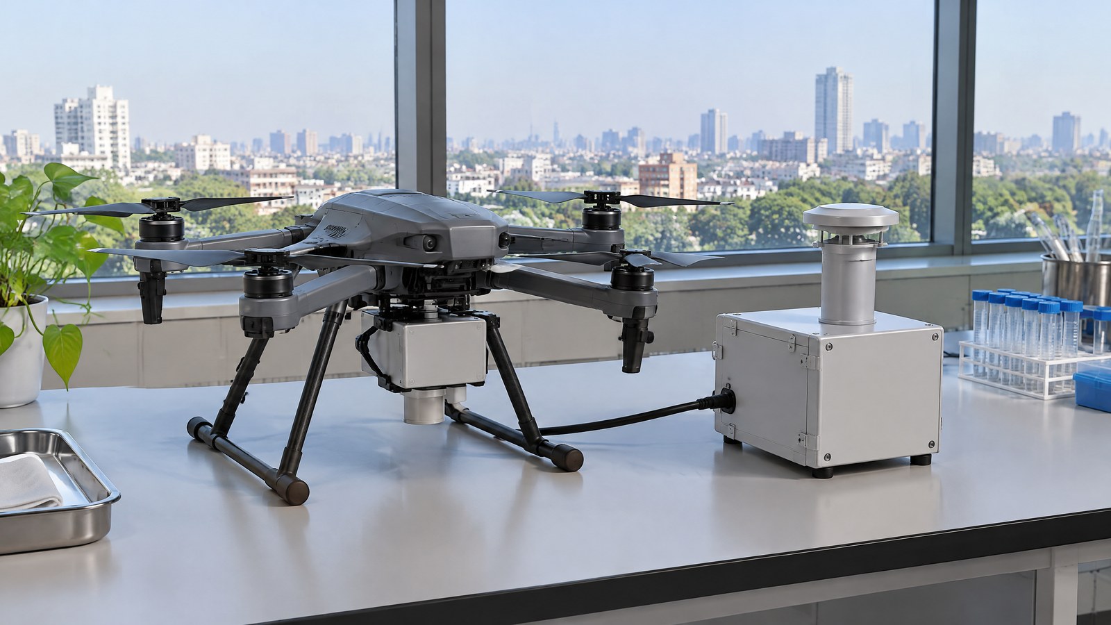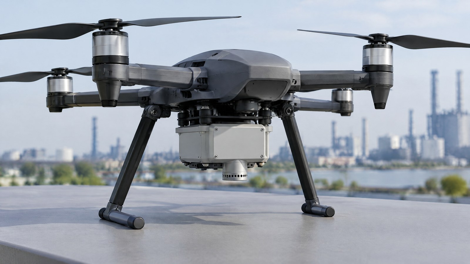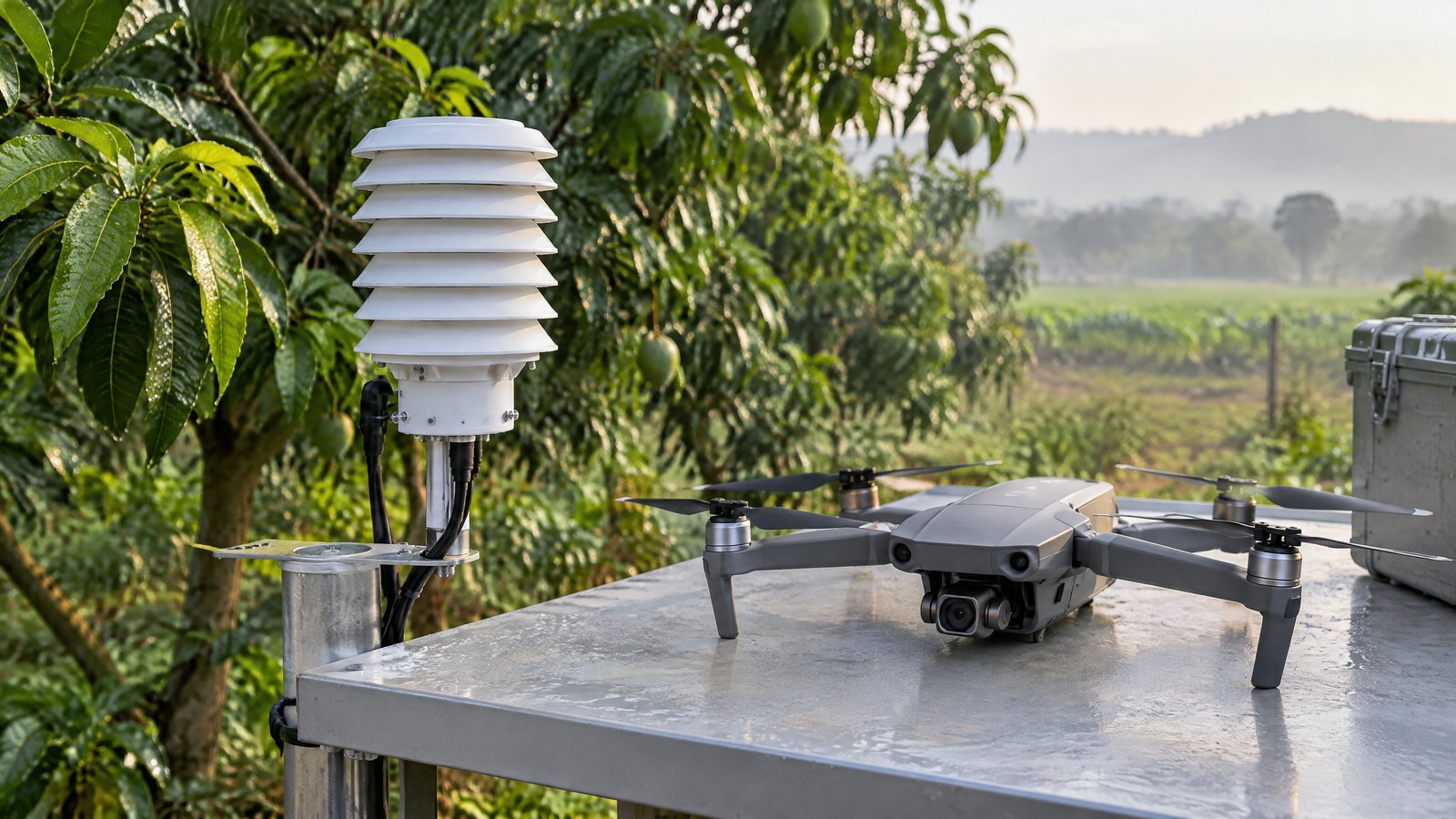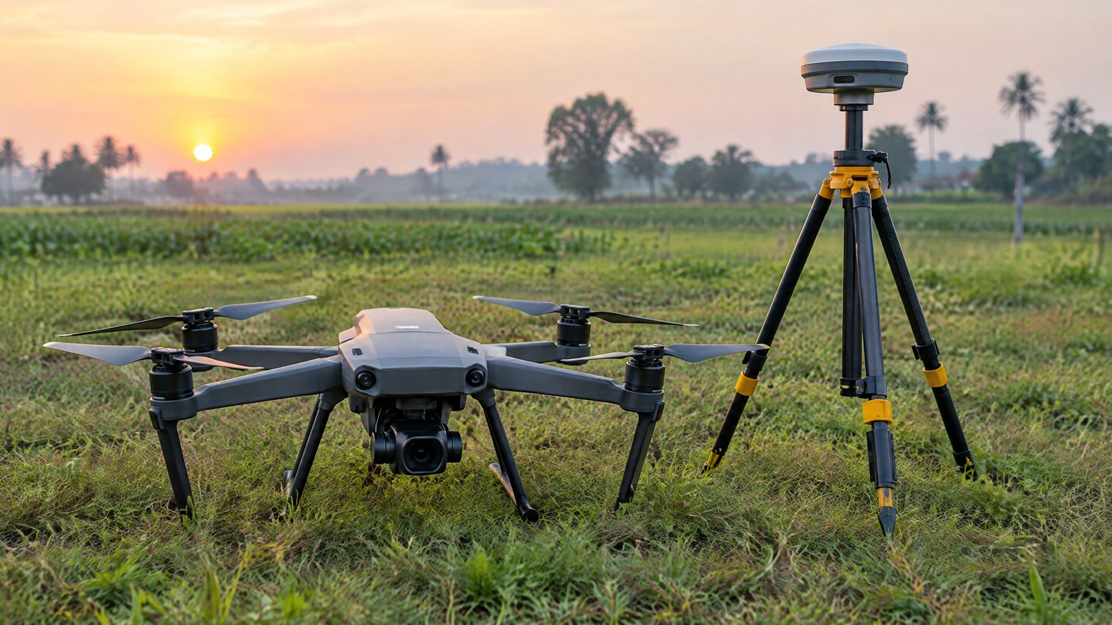
If you are trying to place drone imagery correctly on a farm, inspection site or changing shoreline, a GNSS/RTK receiver explains why the drone can attach a location estimate to each exposure. It also explains why a neat-looking map is not automatically an accurate survey or a substitute for the pilot’s current Indian airspace check. AI-generated editorial illustration of generic civilian drone hardware, not a photograph of a named product or an actual inspection. This India-focused explainer covers measurement principles, limits and benign civilian uses; it does not provide flying, configuration or survey-operation instructions.
This article is part of the computer hardware technology guide library.
What a Civilian Drone GNSS/RTK Receiver Measures
A civilian drone GNSS/RTK receiver is a radio-navigation subsystem. It receives timing and orbit information from navigation satellites, processes those signals, and helps produce a computed position, velocity and time estimate for the aircraft and, where applicable, its captured data. GPS is one member of the broader Global Navigation Satellite System family, or GNSS; a particular receiver may support more than one constellation, but that is a model-specific capability. NASA notes that India’s regional navigation system is IRNSS/NavIC, yet its availability to a drone depends on the exact receiver and system design rather than the word “GNSS” on a specification sheet. [1]
The receiver therefore does not photograph a field, detect a crack, judge a crop, or independently declare that an image-derived map is accurate. It supplies position-related observations and an estimate. Cameras, inertial sensors, mapping software, reference information and professional interpretation may each have separate roles. Calling GNSS/RTK a “drone sensor” is convenient for civilian UAV sensor education, but it is more precise to call it navigation hardware that measures radio signals and produces a location solution.
GNSS listens to satellite signals; it does not observe the ground
Navigation satellites transmit radio signals with timing and orbital information. The receiver tracks usable signals and uses their timing to estimate ranges. With observations from several satellites, its navigation software can solve for a position and clock offset. The resulting coordinate is a computed estimate, not a direct photograph or a perfect tape-measure reading. Signal geometry, the receiver, the antenna environment and processing all influence its quality. [1]
This distinction prevents common mix-ups. An RGB or multispectral camera records optical information from a scene. An IMU senses motion and rotation. A GNSS receiver contributes an Earth-referenced position estimate. In a civilian mapping project, the receiver may help associate image positions with a coordinate system; it does not create the image content or prove what the image means.
What RTK adds to the position estimate
RTK means real-time kinematic positioning. In the classic arrangement described by NOAA’s National Geodetic Survey, a reference receiver and a moving receiver observe carrier-phase cycles from the same satellites at common times. Differencing those observations can reduce shared error sources and supports resolving the unknown whole number of carrier cycles. A drone using this kind of arrangement is the moving receiver, often called the rover; the correction source can be a nearby reference receiver or an appropriate correction network. [2]
Two status words are useful, but neither is a quality certificate. A float solution has not yet resolved the carrier-cycle count as integers. A fixed solution is the system’s integer-resolved solution. NOAA cautions that ambiguity resolution can still be affected by geometry, residual atmospheric and orbital error, signal reflections, loss of lock and other factors. In plain terms, RTK can improve the information available to a location estimate, but “fixed” does not prove that every coordinate in a job is correct for its intended decision. [2]
Why an RTK label is not a survey verdict
The claimed capability of one receiver is only one part of a spatial-data result. A geotagged aerial image can still be affected by the image sensor, the relationship between camera and navigation estimate, image matching, reference-coordinate choices and the way results are checked. For work where accuracy has consequences, the important question is not “does the drone have RTK?” but “what does this completed dataset demonstrate, against independent reference and the required tolerance?”
NOAA’s guidance recommends integrity-checked control, checks on known points and redundant observations for high-confidence real-time GNSS work. Those are quality-assurance ideas, not a consumer setup recipe and not a universal requirement for every small drone activity. They explain why a receiver display should not be treated as a legal boundary, property survey, engineering acceptance, structural assessment or safety decision on its own. [2]
GNSS/RTK receiver limitations: environmental conditions still matter
Satellite signals are weak at the receiver and can be blocked, degraded or reflected. NOAA describes multipath as reflected signal energy that takes a longer path before reaching the antenna. Nearby trees, buildings, vehicles, water and metal can contribute, and rapid real-time work may not have enough time to model the effect. The result can be noise, an incorrect ambiguity fix or a misleadingly tidy precision display; vertical error deserves particular caution. [2]
Poor sky visibility, changing correction availability and the age of correction data can also change the result. These limits are especially relevant around dense structures, under canopy and in indoor spaces, where a receiver may have fewer suitable signals. GNSS/RTK should never be confused with obstacle awareness: it estimates position from satellite radio signals and cannot see a wire, wall, person or tree. Likewise, a Remote ID location-broadcast module is a communications module that can use positioning inputs; it is not the GNSS receiver or a physical sensing modality by itself.
Important Points / Key Information
A GNSS/RTK receiver is most useful when readers treat it as one measured input in a larger civilian data and safety process. It can make image locations more informative and support repeatable spatial work, but it cannot turn an unverified output into a certified survey or remove pilot responsibility.
Key Takeaways
These are the practical boundaries worth retaining when reading a civilian drone specification or viewing a map produced from drone imagery.
- GNSS is the satellite-navigation category; GPS is one system within it. The receiver produces a location estimate from radio signals rather than an image or ground-condition measurement. [1]
- RTK uses carrier-phase observations and reference corrections to improve positioning information in suitable conditions. It is not a promise of a particular accuracy at every place or time. [2]
- Signal reflections, blockage, weak geometry and correction issues can undermine a result. A fixed RTK status remains information to assess, not proof that all project coordinates are right. [2]
- Aerial mapping may still need independently checked ground reference and output evaluation when the intended use has accuracy consequences. The USGS example below illustrates those separate roles. [3]
- In India, positioning capability does not replace the remote pilot’s responsibility to verify current applicable restrictions through the official Digital Sky route before an operation. [4] [5]
A sensible way to read civilian-drone claims
For drone GNSS RTK sensor basics, start with the job, not the badge. In a farm record, a restoration-monitoring comparison or an inspection documentation project, ask what must be located, what level of confidence the decision needs and how the final output will be checked. Then examine the exact model documentation for supported constellations, correction-source compatibility, solution-status reporting and any stated operating limits. A retailer headline or a generic “centimetre-level” phrase is not enough evidence for an individual site.
Keep terms separate. Relative consistency means features line up well within one dataset; absolute accuracy asks whether the dataset aligns with a recognised real-world reference. Precision describes repeatability, while accuracy describes closeness to the intended reference. A polished orthomosaic can be useful for visual context without meeting a land-survey or engineering standard. Where an output informs a regulated, contractual, property or safety decision, appropriate qualified assessment and independent checking remain necessary.
India: position data and airspace compliance are separate questions
India’s official Drone Rules, 2021 state that a remote pilot must verify the Digital Sky platform for notifications or restrictions applicable to the intended area before beginning an unmanned aircraft-system operation. The same rules describe red, yellow and green zoning and allow the airspace map to be updated. The Ministry of Civil Aviation’s associated airspace-map announcement also says operators should check the latest map because boundaries may change. [4] [5]
That is why RTK should not be marketed to a civilian reader as a permission tool. A more exact position estimate cannot itself grant permission, identify every temporary restriction or transfer responsibility away from the operator. This article is educational rather than legal or operational advice: before any civilian operation in India, use the current official Digital Sky information and the rules applicable to the actual aircraft, location and proposed activity.
Examples / Supporting Information
The following examples show where GNSS/RTK can fit in benign civilian work. One is a documented public project; the other situations are clearly hypothetical and do not describe a deployment, test or recommended operating procedure.
A real environmental-mapping example: USGS beach imagery
In a 2019 data release, the U.S. Geological Survey described small-UAS imagery collected over Town Neck Beach in Massachusetts to observe beach and dune morphology. The aircraft imagery was geolocated using the UAS’s single-frequency positioning system. Separately, the team located temporary ground-control targets and transect points using an RTK-GNSS base station and rovers. The ground-control points could constrain photogrammetric processing, while the transect points could evaluate the resulting products. [3]
The important lesson is not that every mapping drone needs the same arrangement. It is that the project kept separate roles visible: airborne imagery, image locations, ground control and an evaluation reference. RTK-GNSS was part of a documented measurement chain, not a shortcut around evidence.
Hypothetical civilian applications in India
For example, an agriculture adviser might compare authorised aerial images of a field across dates to discuss visible variation with a grower. A GNSS/RTK-equipped drone could help keep image positions more consistently associated with the field reference, but it would not directly measure plant disease, soil nutrients, yield or a farmer’s legal boundary. Those conclusions require suitable ground information and domain expertise.
In another hypothetical case, a licensed infrastructure team might use authorised aerial images to document visible external condition around an asset after a seasonal event. Position information can help organise which images relate to which broad location. It cannot diagnose a defect, certify a structure, detect every hazard or replace an engineer’s assessment. These examples describe possible civilian uses, not evidence of a specific Indian pilot or a claim that the technology is suitable for every site.
Conclusion
A drone GNSS/RTK receiver listens to navigation satellites and, with suitable corrections, can provide a more capable position estimate for civilian mapping and documentation work. Its value is real but bounded: the receiver does not see the ground, verify an entire map, detect obstacles or grant permission to operate.
For readers in India, the durable rule is to separate three questions. First, what position information does the exact receiver provide under the actual signal conditions? Second, what independent checks does the intended data product need? Third, what current official Digital Sky restrictions and other obligations apply before the operation? Keeping those questions apart leads to safer, clearer expectations than treating RTK as a universal accuracy guarantee.
Source notes
Reporting record
techduopulse stores source destinations privately. Public notes remain non-clickable so every visitor journey stays on this website.
GNSS — definition, GPS as one GNSS, receiver signal processing, and India’s IRNSS/NavIC context.
Primary source · GNSS measurement principlesUser Guidelines for Single Base Real Time GNSS Positioning, Version 2.1 — carrier-phase real-time positioning, float/fixed ambiguity status, multipath limits and quality checks.
Primary source · RTK method and limitationsGeotagged Low-Altitude Aerial Imagery From Unmanned Aerial System Flights Over Town Neck Beach — documented small-UAS coastal imagery project using RTK-GNSS ground control and evaluation transects.
Primary source · Environmental-mapping exampleDrones Rules, 2021 dated 25 August 2021 — official Drone Rules publication and Digital Sky verification, zoning and permission provisions.
Primary source · India compliance boundaryMinistry of Civil Aviation releases India’s airspace map for drone operations — official Digital Sky airspace-map release and instruction to check the latest map for changes.
Primary source · India compliance boundaryInitial civilian drone-sensor explainer; sources and AI-generated illustrative imagery reviewed before publication.