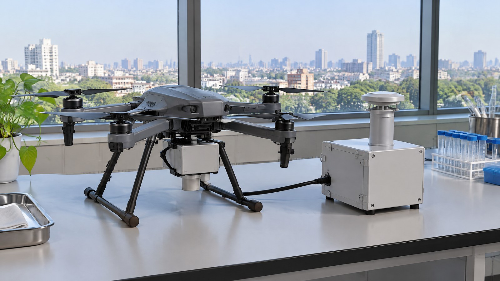
A Remote ID location-broadcast module can make a civilian drone’s identity and location information available to nearby receivers, but it cannot prove that a flight is authorised or safe. This India-focused drone Remote ID location broadcast module explained guide covers what the device communicates, where its reports can mislead and why official checks remain separate from the hardware; the hero is an AI-generated editorial illustration of generic civilian drone hardware, not a photograph of a named product or an actual inspection.
This article is part of the computer hardware technology guide library.
How a Drone Remote ID Location-Broadcast Module Works
Remote ID is an identification-and-location communication function for a drone in flight. In the FAA’s plain-language description, it lets a drone provide identification and location information that other parties can receive through a broadcast signal [1]. A location-broadcast module is one way to add that function to an aircraft that was not manufactured with it built in. It is best understood as a small communications component that formats available data and sends it outward; it is not a camera, a collision-warning sensor, an inspection instrument or a permission system.
The distinction matters because a message can be technically present while the wider operation still has unanswered questions. A location reading depends on the quality and availability of the positioning and time inputs provided to the module. Whether somebody receives the broadcast depends on the nearby receiver, radio environment and implementation. Neither fact decides airspace access, confirms a pilot’s competence, or turns a map point into a safety assessment. For the broader relationship among sensing, estimation and communications, see the same-site overview of physical AI, robots, drones and sensors.
It Broadcasts; It Does Not Sense
Calling the module a drone sensor can be convenient shorthand, but it is not precise. A sensor measures a physical quantity: a GNSS receiver derives position and time from satellite signals, a barometer responds to pressure, and an imaging payload records light. A Remote ID module takes identity and status information, including location information supplied by the aircraft system, and broadcasts a defined message. Its output is a radio message, not a direct measurement of a building, crop, obstacle or person.
This is also why Remote ID should not be confused with Remote Sensing. Remote sensing uses instruments such as RGB, thermal, multispectral or LiDAR payloads to collect observations about terrain, vegetation or infrastructure. Remote ID instead supports awareness of a participating aircraft. A project may use both classes of technology, but the presence of one does not validate data from the other. In particular, a module cannot say whether an inspection image is complete or whether a mapped feature needs professional assessment.
From Position Input to a Time-Stamped Message
A useful mental model has three layers. First, the aircraft system obtains a position, altitude, movement and time estimate from its onboard sources. Second, the Remote ID function combines those values with an identifier and, in a module design, information associated with the take-off location. Third, it transmits a compact message for receivers in range. The receiver is interpreting a report about the aircraft, not looking through the aircraft’s camera or taking control of it.
A detailed U.S. example shows the categories that a broadcast-module specification may require. Part 89 lists the module serial number; the aircraft’s latitude, longitude, geometric altitude and velocity; the take-off latitude, longitude and geometric altitude; and a UTC time mark [2]. The same regulation requires self-testing and monitoring, failure notification and error correction for its U.S. framework. These details are helpful for understanding the concept, but they are not a specification for India and should not be read as a feature list promised by every consumer device.
The words ‘location’ and ‘altitude’ also need care. Position is an estimate at a particular time, and altitude can use a defined reference rather than the height of a nearby roof, tree or road surface. A stale, incomplete or misunderstood message can therefore create false confidence. Even where a rule sets a performance threshold, that threshold is an engineering and legal requirement for that framework, not a claim that every displayed point is exact in every environment.
Local Broadcast Is Different From Internet Tracking
Broadcast Remote ID is designed to travel directly by radio from the UAS to receivers in its vicinity. ASTM’s public scope contrasts that with network Remote ID, which uses internet communication through a service provider [3]. The difference is practical: a local broadcast does not inherently depend on a cloud connection, yet it is also not a guarantee that a distant online service, an authority or every nearby person will receive or understand the message.
A local broadcast is therefore neither an all-seeing tracking system nor a privacy-free identification database. The message format and legal access rules determine what can be decoded and by whom. ASTM also says its specification does not purport to meet identification needs for every UAS operation or for operators who do not participate [3]. That limitation is worth keeping in view whenever Remote ID is described as a complete answer to safety, accountability or airspace coordination.
What Reception and Accuracy Do Not Establish
Receiving a message can help a suitably equipped nearby party become aware that a participating drone is reporting its identity and location. It cannot prove that the reporting aircraft is the only aircraft nearby, that the stated point is unobstructed, or that the person viewing the report has the full operational context. It does not measure separation from a power line or validate a decision to fly close to people, buildings or restricted airspace.
The numbers in a regulation illustrate why a broadcast should be treated as context, not ground truth. The U.S. Part 89 rule specifies, for its own broadcast modules, position accuracy within 100 feet with 95 percent probability and a message rate of at least one per second; it also permits up to one second from position measurement to broadcast [2]. Those are not Indian compliance figures and should not be converted into a promise about any model. They simply demonstrate that a broadcast has defined timing and uncertainty rather than perfect real-time knowledge.
For an Indian civilian operator or client, a module should never replace direct observation, a site-specific risk assessment, applicable permissions, or qualified judgement about an inspection or environmental result. A report from a positioning chain is useful evidence only within its stated limits. It is not evidence that a mission was approved, that a task was competently performed, or that the reported location identifies every relevant hazard.
Important Points / Key Information
The practical value of Remote ID is better awareness of a participating drone’s reported identity and location. The practical limit is equally important: the broadcast is one communication layer in a larger civilian aviation and accountability system. Treat product descriptions that blur those two ideas with caution.
Key Takeaways
These points apply to the Remote ID location-broadcast module basics discussed in this article.
- A Remote ID broadcast module communicates identification and reported location data; it is not a physical sensor that observes the surrounding world.
- The report relies on underlying position and time information, so a transmitted coordinate is a time-stamped estimate, not a safety verdict or an inspection finding.
- Broadcast Remote ID is local radio communication to nearby receivers; it is distinct from internet-based or network Remote ID.
- Foreign Remote ID rules and performance figures can explain the technology, but they do not create an Indian obligation.
- For India, use current official rules, amendments, Digital Sky information and operation-specific directions to determine what applies at the time of a flight.
India: Check the Official Rule and the Current Operational Context
India’s Drone Rules, 2021 make the right caution especially clear. Rule 12 says the Central Government may, by a future Gazette notification, specify mandatory safety features; the examples may include a real-time tracking beacon communicating the UAS location, altitude, speed and unique identification number [4]. That is evidence that Indian rules contemplate a tracking-beacon concept. It is not, by itself, evidence that every civilian flight must currently use a particular Remote ID broadcast module, protocol or foreign standard.
The official MoCA page provides a government entry point for the Drone Rules, 2021 [5], and MoCA also hosts the Drone (Amendment) Rules, 2023 [6]. Meanwhile, the DGCA Digital Sky portal lists current services including UIN, type-certificate and remote-pilot-certificate applications, flight-plan requests, situational awareness and accident reporting [7]. These official sources show why hardware cannot be treated as a shortcut around the administrative and operational context.
Before relying on a Remote ID claim in India, check the official MoCA rules and subsequent notifications, the current Digital Sky information, applicable airspace status and any conditions of the particular operation. A local authority, site owner or client requirement may be separate from the general rules. This article makes no universal compliance statement because rules, notifications, portal processes and permissions can change.
Examples / Supporting Information
The following are hypothetical civilian scenarios, not reports of tests, deployments or approvals. They show where a location broadcast may add context without overstating what it achieves. In each example, the operator’s legal responsibilities, airspace checks, privacy duties and safety decisions remain outside the module’s broadcast function.
Hypothetical environmental mapping assignment
Imagine a permitted environmental-mapping team documenting vegetation patterns over a defined site. A Remote ID location-broadcast module could make a participating drone’s identity and reported flight location available to a compatible nearby receiver. That can support situational awareness around the aircraft. It does not measure plant condition, establish the accuracy of a map, or show whether the environmental interpretation is scientifically valid. Those questions belong to the payload, data method, ground reference and qualified review.
The distinction protects nonexpert readers from an easy category error. A location report can be useful alongside a mapping workflow, but it is not mapping evidence. The exact same separation applies to a thermal camera, a multispectral system or a LiDAR survey payload: each produces a different kind of information and needs its own quality checks.
Hypothetical infrastructure documentation assignment
Consider a civilian team that has been authorised to document visible exterior conditions of an asset from a suitable area. Nearby recipients of a Remote ID broadcast may have awareness that a participating drone is reporting a location. The broadcast does not show the condition of the asset, verify that an image covers every surface, or decide whether a visible feature is a defect. A competent inspection process still needs its own scope, evidence standards and, where appropriate, qualified professional interpretation.
For this reason, a client should not accept Remote ID data as a substitute for an inspection record. It may be one operational record among others, subject to the device’s specification and the surrounding circumstances. Conflating the two can lead to an unsupported conclusion about a structure’s condition or about the legality of the work.
How to read a product claim without overreaching
When a civilian drone or add-on module is described as ‘Remote ID capable,’ first ask which jurisdiction and rule are being referenced. Then distinguish built-in capability from a retrofit broadcast module, local radio broadcast from an online service, and a module’s stated message fields from the quality of its positioning input. The FAA notes that its broadcast-module approach is an attachment that sends information about the drone and its take-off location [1]; it does not make the attachment a universal solution for every country or operating situation.
Finally, seek the manufacturer’s applicable declaration, documentation and limitations, then compare them with current Indian official information for the actual operation. This is a reading and verification habit, not a setup recipe. It helps avoid buying, specifying or relying on a communications module based on an inaccurate assumption that it senses obstacles, grants access to airspace, or automatically satisfies every duty.
Conclusion
A Remote ID location-broadcast module is a communications component that can share a civilian drone’s reported identity and location with receivers nearby. Its usefulness lies in awareness and accountability for participating aircraft, while its limits are just as material: it does not sense the surroundings, validate imagery or maps, establish flight permission, or replace pilot responsibility and qualified assessment.
For readers in India, the careful approach is to treat foreign standards as technical context and verify the current Indian position through official MoCA material, amendments, DGCA Digital Sky information and operation-specific directions. That keeps a helpful broadcast function in its proper place: one input to responsible civilian drone activity, not a verdict on compliance, safety or the meaning of a location point.
Source notes
Reporting record
techduopulse stores source destinations privately. Public notes remain non-clickable so every visitor journey stays on this website.
Remote ID broadcasts identification and location information; an attached module can communicate drone and take-off-location information.
Primary source · How a Drone Remote ID Location-Broadcast Module WorksU.S. broadcast-module message elements, safeguards, rate, timing and performance requirements.
Primary source · From Position Input to a Time-Stamped MessageBroadcast Remote ID uses local radio to nearby receivers, while network Remote ID uses internet communication.
Primary source · Local Broadcast Is Different From Internet TrackingRule 12 contemplates a future-notified tracking beacon; Rules 14–15 address Digital Sky registration and UIN links.
Primary source · India: Check the Official Rule and the Current Operational ContextOfficial Ministry entry point for the Drone Rules, 2021 and Gazette document.
Primary source · India: Check the Official Rule and the Current Operational ContextOfficial Ministry page for the Drone Amendment Rules, 2023.
Primary source · India: Check the Official Rule and the Current Operational ContextDigital Sky lists UIN, type-certificate, remote-pilot-certificate, flight-plan, situational-awareness and accident-reporting services.
Primary source · India: Check the Official Rule and the Current Operational ContextInitial civilian drone-sensor explainer; sources and AI-generated illustrative imagery reviewed before publication.