When a site is covered by trees, uneven ground or complex structures, a normal aerial photograph can make it hard to tell shape from height. A civilian drone LiDAR mapping survey can turn laser returns into a 3D point cloud that helps a qualified team examine terrain or assets, provided the data are validated and the flight is compliant.
This article is part of the computer hardware technology guide library.
How an Aerial LiDAR Mapping Sensor Creates a 3D Point Cloud
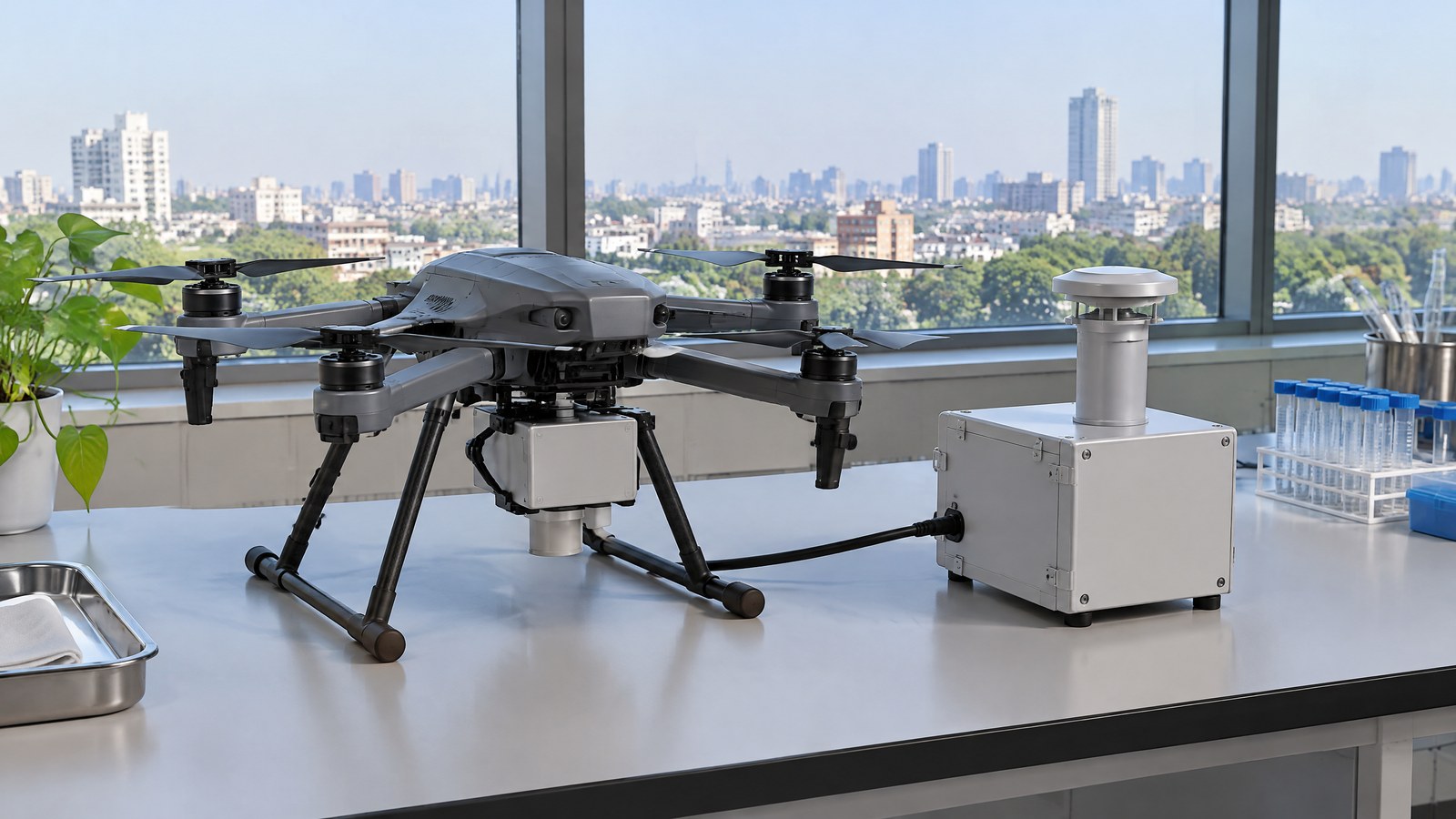
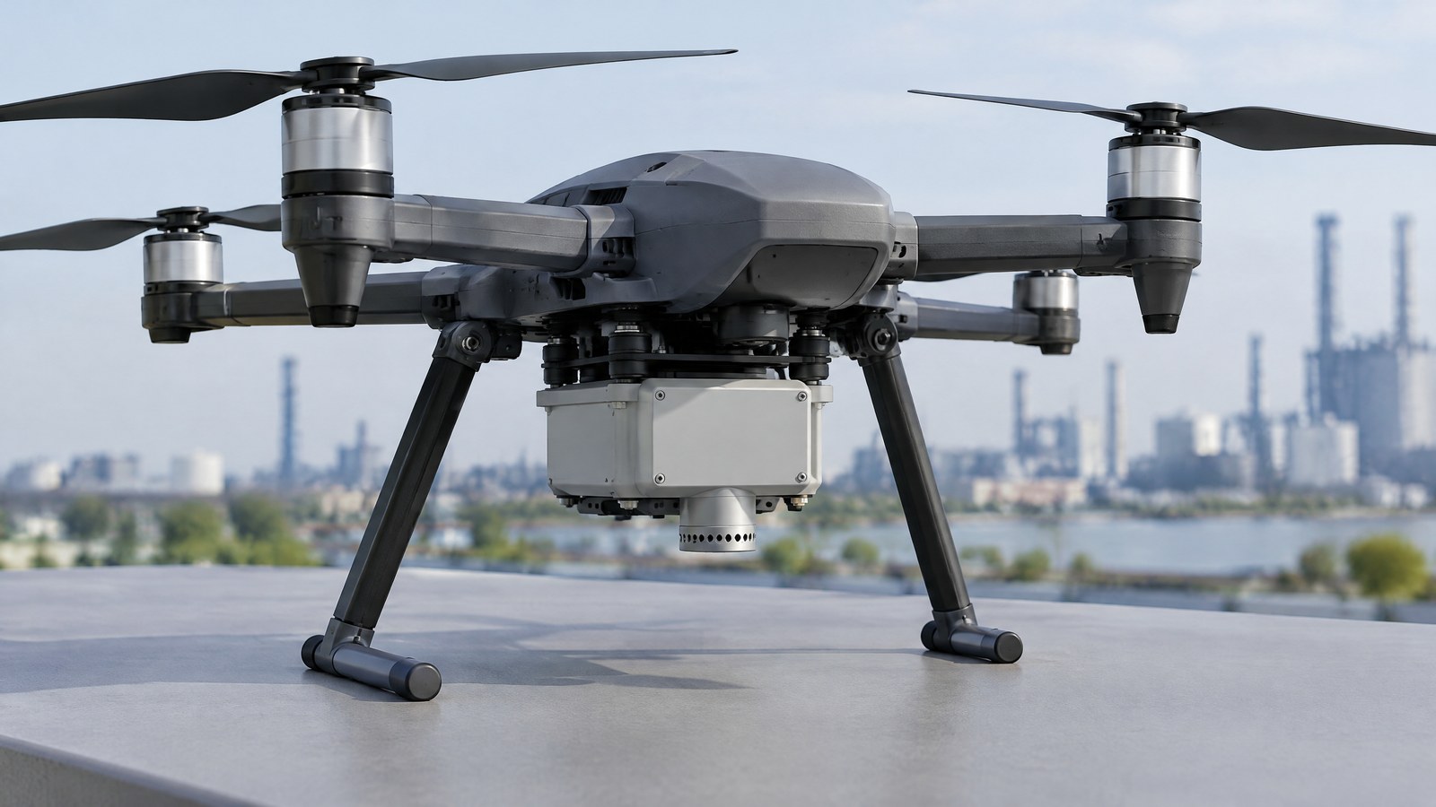
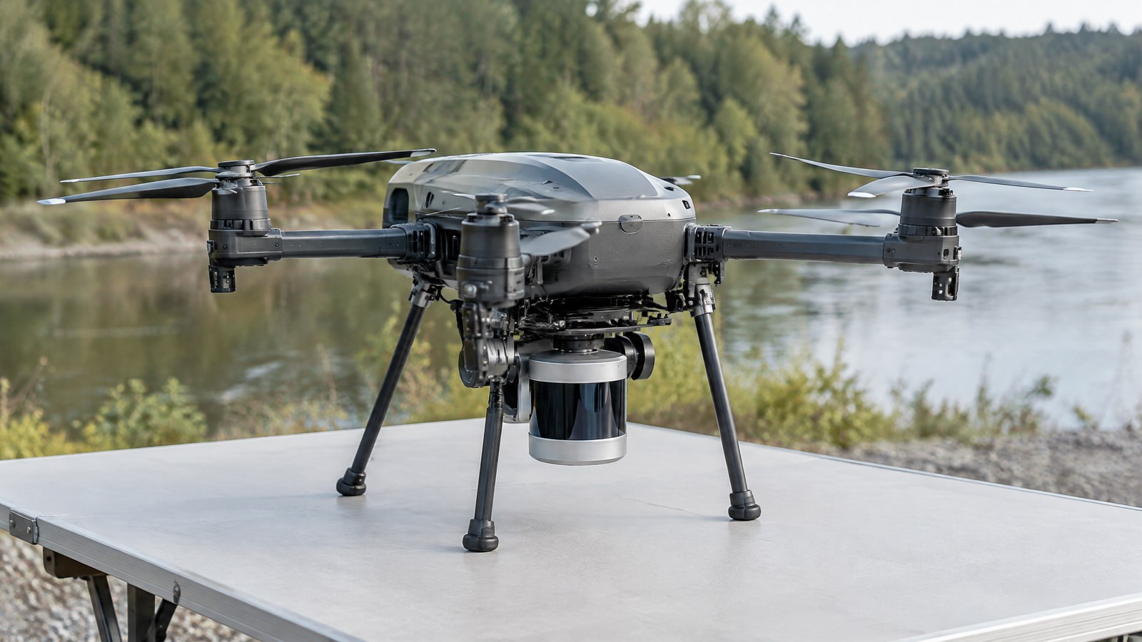
AI-generated editorial illustration of generic civilian drone hardware, not a photograph of a named product or an actual inspection.
An aerial LiDAR mapping sensor is a surveying payload, not simply an obstacle-warning feature. It repeatedly sends short laser pulses toward the scene, records returned light and uses the travel time to estimate range. With the aircraft position and orientation recorded alongside those ranges, processing can place the returns in a shared three-dimensional coordinate system. The resulting dataset is a point cloud: many individual x, y and z locations rather than a conventional colour photograph. USGS describes the same fundamental airborne workflow: laser pulses, range from travel time, and a point cloud containing returns from ground, vegetation and structures [1].
What the sensor records — and what it does not
A laser return is a measurement from a surface or feature that reflected enough energy back to the receiver. A tree crown, wall, roof edge, bare ground or other object may contribute a point. The system does not recognise those objects by itself; classification labels such as ground or vegetation are later processing decisions. USGS says its airborne point cloud begins with points reflected from everything on the surface, including structures and vegetation [1].
That distinction matters for consumer understanding. A dense-looking cloud can show the shape of a place while still containing missed areas, ambiguous returns or incorrectly classified points. It is evidence to interpret, not a self-explanatory 3D answer. A LiDAR mapping payload also differs from the short-range LiDAR used for obstacle awareness: this article is about measured survey data and its validation, not real-time collision avoidance.
How ranging becomes a mapped location
Range alone says how far a return was from the instrument at one instant. A map needs additional context: a location reference, the payload orientation, consistent timing, a coordinate reference system and processing that keeps those records aligned. USGS describes airborne LiDAR equipment as including a laser scanner, GPS and an inertial navigation system [1]. In a civilian drone project, those supporting measurements and the processing record are part of the result; a LiDAR scanner on its own does not create a legally or technically defensible map.
This is why a GNSS or RTK receiver should not be treated as proof of a particular accuracy everywhere. The final positional quality depends on the complete project, its reference data, conditions and checks. Useful delivery documentation identifies the coordinate system, units, collection and processing choices, point classification, and the method used to assess the finished data.
From point cloud to surface model
The raw point cloud can be viewed directly or converted into products for a particular question. A digital surface model represents the upper visible surface, which may include roofs and vegetation. A digital elevation or terrain model aims to represent ground after a classification workflow separates likely ground points from other returns. USGS explicitly notes that a bare-earth digital elevation model is derived by stripping structures and vegetation from the point-cloud data [1].
“Bare earth” therefore describes a derived interpretation, not a promise that every laser pulse reached soil. NOAA’s lidar teaching material explains that LiDAR may find ground through openings in vegetation, while dense or complete canopy can leave poor ground representation. It also warns that automated ground filters can sometimes retain non-ground features [6]. The required product should be stated before anyone interprets a hillshade, contour, canopy-height layer or mesh.
Important Points / Key Information
The value of a drone LiDAR sensor for 3D point cloud mapping lies in a documented measurement workflow, not in a claim that the sensor sees everything or delivers a universal accuracy figure. USGS’s specification requires accuracy validation before classification and derivative products, and it separates absolute accuracy, internal precision and swath-overlap consistency [2]. That is a useful standard of thinking even where a project uses different specifications.
For India, treat every mapping assignment as an occasion to check the current official position rather than relying on a generic online summary. The Drone Rules, 2021 say that a remote pilot must verify Digital Sky for notifications or restrictions affecting the intended area before operation; the rules describe green, yellow and red airspace and say that red- and yellow-zone operations require prior permission. The official Digital Sky site presents its live zone information and flight-plan pathway [4] [5]. Those sources do not replace any other applicable approval, site permission, professional requirement or safety responsibility.
Key Takeaways
- LiDAR mapping records many laser-return points; it does not produce a finished survey conclusion by itself.
- A point cloud, a classified point cloud, a digital surface model and a bare-earth terrain model are different data products.
- Vegetation, water, reflective materials, steep or intricate surfaces, gaps in coverage and processing choices can limit what the result supports [2] [6].
- A project-specific validation record and independent checks are more meaningful than a blanket accuracy claim [2].
- Before any civilian drone mapping flight in India, consult current official Digital Sky and DGCA information for the location and operation [4] [5].
Why accuracy is a project property, not a badge
It is tempting to reduce a LiDAR purchase decision to a single resolution or accuracy number. That shortcut misses how the data were placed, sampled, classified and tested. USGS requires independent checkpoints for absolute vertical accuracy and separately examines the internal quality of the point data and consistency where swaths overlap [2]. A satisfactory result on an open, stable surface does not prove equal performance beneath dense foliage, along a sharp slope or at every interpolated location between points.
A responsible report identifies what was measured, what reference was used and what area or surface type the validation represents. It should preserve limitations rather than hide them inside an attractive 3D visualisation. The use of a positioning receiver helps georeference the work but cannot, on its own, guarantee a centimetre-level result for every civilian drone survey.
What conditions can limit a LiDAR map
The return depends on the target and the measurement geometry. Thick canopy can reduce the number of usable ground returns. Water and some reflective or absorbent surfaces may behave differently from dry, matte ground. Occlusion can leave areas unobserved, while small terrain features may fall between sampled points or be softened when a continuous surface is interpolated. NOAA also notes that point spacing influences whether high-frequency terrain variation is resolved, and that a location-wise vertical result may be good even when an interpolated surface between points is poor [6].
Processing introduces another layer of judgement. A classification algorithm can place a return into a useful category, but misclassification or inconsistent treatment across separate strips can affect a downstream model. The USGS specification requires point-classification consistency and validation before derivative products [2]. For drainage, property, construction, safety or environmental decisions, the appropriate qualified professional should decide whether the captured data and checks are sufficient for the intended use.
India compliance and responsible civilian use
A mapping payload does not create an exception to operational rules. On 19 October 2026, the official Digital Sky platform states that its airspace information distinguishes green, yellow and red zones and that online flight-plan approval requests can be submitted there [4]. The linked Drone Rules require a pre-flight verification of Digital Sky restrictions for the intended area; the rules also say the map can be updated [5]. Check the live official information before the activity, not an old screenshot, article or map copy.
This article is educational, not legal or operational advice. Permission from a landholder, privacy-aware handling of captured site data, site safety controls and the competence needed to interpret a map may matter in addition to airspace status. A point cloud should never be used to declare a structure safe, establish a legal boundary, or replace a qualified assessment merely because it looks detailed.
Examples / Supporting Information
The following are hypothetical civilian planning examples, not reports of Indian deployments, tests or assured results. They show the questions a 3D point-cloud product might support when collection, processing, permissions and independent review are appropriate.
Terrain and drainage context
A civil or environmental team might commission a mapping dataset for an uneven site before planning a drainage investigation. The useful question is not “can the drone decide where water will flow?” but whether a documented terrain product gives the team elevation context to compare with ground observations, existing plans and field measurements. The team would need to know whether vegetation, water, unmeasured areas or interpolation could affect the feature it is studying [2] [6].
The final engineering or flood-risk conclusion remains outside the sensor. LiDAR can supply measured spatial evidence; it does not by itself establish design adequacy, permit compliance or a forecast.
Vegetation structure and environmental interpretation
A conservation or land-management study might use a point cloud to describe the height and vertical structure of vegetation across a defined area, then compare the result with field observations. NASA’s LVIS documentation illustrates the broader airborne-lidar capability to measure surface topography and vegetation height and vertical structure [3]. NASA’s research aircraft system is not a proxy for a drone payload, but it supports the distinction between a laser-derived structural measurement and an ordinary overhead image.
Under thick cover, the output needs careful wording. It may describe returns from canopy layers and any ground points obtained through gaps; it should not claim that LiDAR universally sees through trees. A project should state the collection season, coverage and classification approach where those factors affect interpretation [6].
Asset context without a safety verdict
For a building exterior, slope, quarry face or utility corridor where civilian access and approvals are in place, a spatial model might help a qualified team document visible geometry or compare a later capture with a defined baseline. It may make it easier to locate an area for follow-up, but it cannot determine material condition behind a surface, confirm every hidden feature, or certify structural safety.
A sound handover would separate observations from decisions: retain the raw or documented point cloud, state the coordinate reference and validation method, describe gaps and exclusions, and record which derived model was used. That transparency makes later review more useful than a screenshot with no provenance.
Conclusion
An aerial LiDAR mapping sensor gives a civilian drone a way to collect laser-range observations that can become a georeferenced 3D point cloud. Its practical value comes from matching the product to a benign question, retaining the data context and validating what the finished dataset represents.
For readers in India, the sensible starting point is both technical and responsible: distinguish point-cloud mapping from obstacle sensing, ask what output and validation the decision requires, and verify current official Digital Sky and DGCA information before any operation. Detailed-looking data is useful only when its limits, permissions and professional interpretation travel with it.
Source notes
Reporting record
techduopulse stores source destinations privately. Public notes remain non-clickable so every visitor journey stays on this website.
Laser-pulse ranging, point clouds and the distinction between source points and a derived bare-earth model
Primary source · Measurement principleProject validation, independent checkpoints, overlap consistency and classification consistency
Primary source · Accuracy and limitationsAirborne laser-altimeter measurements of topography and vegetation structure in a research context
Primary source · Supporting informationOfficial India airspace-zone information and online flight-plan request pathway
Primary source · India compliancePre-flight Digital Sky restriction verification and zone-permission provisions
Primary source · India complianceVegetation, ground-representation, point-spacing and automated-filter limitations
Primary source · Measurement limitationsInitial civilian drone-sensor explainer; sources and AI-generated illustrative imagery reviewed before publication.