When a rocket’s navigation data includes a position and time estimate, it is easy to call every box a “sensor” and miss the difference between the instruments. A rocket GPS navigation receiver processes signals from satellite navigation systems into position, velocity and timing information, while an IMU measures motion and rotation directly through inertial sensors.
This article is part of the emerging technology science guide library.
What is a rocket GPS navigation receiver?
A GNSS/GPS navigation receiver is a specialist radio-navigation instrument. It listens to signals from navigation satellites, extracts the signal timing and navigation information that the receiver can use, and produces a navigation solution for the vehicle’s avionics or instrumentation system. GPS is one satellite-navigation constellation; GNSS is the broader term for satellite systems of this kind.
In a rocket context, the useful output is not a photograph of the vehicle or a direct reading of engine force. It is navigation information such as an estimated position, velocity and time reference. The exact output set depends on the receiver, antenna, software and vehicle architecture. The supplied sources support the general role, but they do not establish a universal receiver specification, accuracy, update rate or constellation combination for every launch vehicle.
- It is a receiver and processing instrument, not a simple physical transducer such as a pressure or temperature sensor.
- It can provide external position and timing information that complements onboard inertial data.
- Its availability depends on satellite-signal reception and the design of the vehicle’s navigation system.
What does the receiver actually measure?
Strictly speaking, the receiver does not measure rocket acceleration in the way an accelerometer does. It measures and processes properties of received satellite radio signals, especially their timing and the navigation data carried by those signals. By comparing signals from multiple satellites, a navigation solution can be calculated. In ordinary technical writing, people may call the resulting position, velocity and time values the receiver’s measurements, but they are computed outputs rather than direct readings of a mechanical motion element.
The word “time” matters because satellite navigation is built around precise timing. A receiver’s time-related output can help align records and navigation estimates. That does not mean every launch vehicle uses the same timing architecture, or that a consumer phone receiver is automatically suitable for a launch environment. Qualification, environmental performance and integration are separate engineering questions outside this conceptual explanation.
- Signal observations and timing information from navigation satellites.
- A computed position estimate, when the receiver has an adequate navigation solution.
- A computed velocity estimate and time information, depending on the receiver and system interface.
How is a GNSS receiver different from an IMU?
An IMU is built from physical inertial sensors, commonly accelerometers and gyroscopes. The accelerometers respond to specific force along their measurement axes, while gyroscopes respond to rotation. An inertial navigation system then uses those measurements and algorithms to estimate motion, orientation, velocity and position from a known starting state. Safran describes an INS as a system that calculates position, orientation and velocity by tracking movement, and explains that it builds on raw IMU data.
The receiver and the IMU therefore answer different questions. The GNSS receiver asks, in effect, “What position, velocity and time solution can be derived from the satellite signals available to me?” The IMU supplies continuous motion and rotation information from onboard inertial sensors. A navigation computer can combine these sources, but the receiver does not replace the accelerometers and gyroscopes, and the IMU does not become a satellite receiver simply because both feed the same navigation system.
| Instrument | Primary input | Typical role in a navigation system |
|---|---|---|
| GNSS/GPS receiver | Satellite radio signals and their timing/navigation data | Provides an external position, velocity and time reference when a usable solution is available |
| IMU | Onboard accelerometer and gyroscope outputs | Provides continuous inertial motion and rotation data |
| INS/navigation computer | IMU data, algorithms and optional aiding sources | Calculates a combined navigation state such as position, orientation and velocity |
Why combine satellite navigation with inertial measurements?
Satellite navigation and inertial navigation have different strengths. A GNSS receiver can provide an external reference, while inertial sensors can continue producing motion data without waiting for a satellite solution. A combined design can use the receiver as an aiding source for the inertial navigation solution, subject to the system’s own interfaces, filters and operating rules.
Safran’s technical explanation makes the complement clear: its INS products combine accelerometer and gyroscope data with computation, and some products also include embedded GNSS/GPS receivers. The same source says the inertial core is intended to continue without solely relying on external GPS or GNSS signals. This should not be read as a claim that every rocket has a GNSS-aided INS, only that the receiver-plus-inertial arrangement is a recognised system architecture.
For readers reviewing a launch-vehicle diagram, the practical lesson is to follow the data flow. A receiver may send navigation data to a flight computer, an inertial navigation unit or a development-flight instrumentation system. It may also be used for time tagging or post-flight analysis. The diagram alone does not prove whether the receiver is the primary navigation source, an aiding source or a test instrument.
Where does the receiver fit in launch-vehicle instrumentation?
NASA’s launch-vehicle instrumentation paper separates the broad development-flight instrumentation system from any one sensor. It describes a system that can collect and record many kinds of flight data through data-acquisition units, telemetry, harnesses, recorders and power equipment. NASA also distinguishes physical sensors that turn phenomena such as vibration, acceleration, force, strain, temperature, heat flux and pressure into electrical signals from data collected from navigation systems or air-data systems.
That distinction is useful here. A GNSS/GPS receiver is best described as a navigation instrument or subsystem. It can be connected to an instrumentation chain, but it is not equivalent to every physical sensor connected to that chain. The final arrangement is mission-specific: not all listed instrumentation components are required in every design, and the available telemetry bandwidth can constrain how much data is sent to the ground.
A flight-test article may therefore carry receiver data for model comparison and performance analysis without that data being the only source used by the vehicle’s operational avionics. Conversely, an operational navigation architecture may use a receiver as one input to a larger navigation solution. The public sources support these distinctions, not a claim about a particular rocket’s wiring or control logic.
- Receiver: satellite-navigation input and computed navigation outputs.
- IMU: physical inertial measurements from accelerometers and gyroscopes.
- Data-acquisition and telemetry equipment: collection, formatting and transmission of selected measurements.
- Navigation computer or INS: processing and combining data into a navigation state.
Important limits and common mix-ups
A receiver is not a guarantee of a valid position solution. Its output depends on signal reception, antenna and receiver design, integration and the operating environment. This article does not assess signal-denial countermeasures, spoofing detection, guidance laws or flight-control methods. Those are separate, safety-sensitive subjects and cannot be inferred from the two supplied sources.
It is also inaccurate to use “rocket GPS sensor” as if it meant a single standard part. A mission may use a qualified navigation receiver, an integrated inertial navigation unit, a separate test receiver or no receiver in a particular instrumentation role. “GPS” may be used informally, but “GNSS/GPS navigation receiver” is more precise when the supported constellation set is not known.
Finally, do not confuse a receiver’s computed velocity with an accelerometer’s acceleration. Velocity is a state estimate or navigation output; acceleration is a physical motion quantity measured by an inertial sensor. The two can be related by a navigation model, but they are not interchangeable labels.
Key takeaways
A rocket GPS navigation receiver processes satellite signals into navigation information such as position, velocity and time. It is a specialist receiver/instrument, not a physical transducer.
An IMU uses accelerometers and gyroscopes to measure inertial motion and rotation. An INS or navigation computer can process those measurements into a continuing navigation solution.
GNSS/GPS data can complement inertial data, but the exact architecture, qualification and operating role are mission-specific.
Launch-vehicle development instrumentation may record navigation-system data alongside physical measurements such as pressure, temperature, vibration and acceleration.
Frequently asked questions
Is a rocket GPS receiver the same as an IMU?
No. A GNSS/GPS receiver processes satellite radio signals into navigation outputs. An IMU contains physical accelerometers and gyroscopes that measure inertial motion and rotation. They can feed the same navigation system, but they are different instruments.
Does a GNSS receiver directly measure rocket acceleration?
No. Acceleration is a direct role for an accelerometer. A GNSS receiver processes satellite-signal observations and can produce a velocity or position estimate; those outputs are not the same as an accelerometer reading.
Why would a launch vehicle use both GNSS and inertial measurements?
They provide different kinds of information. GNSS can supply an external position, velocity and time reference when a usable solution is available, while inertial sensors provide continuous motion and rotation data. A navigation computer may combine them, depending on the vehicle design.
Is every rocket GPS receiver the same?
No. Receiver capabilities, antenna arrangements, qualification, interfaces and mission roles vary. The supplied technical sources support the general receiver-versus-inertial distinction, not a universal rocket hardware specification.
About the image
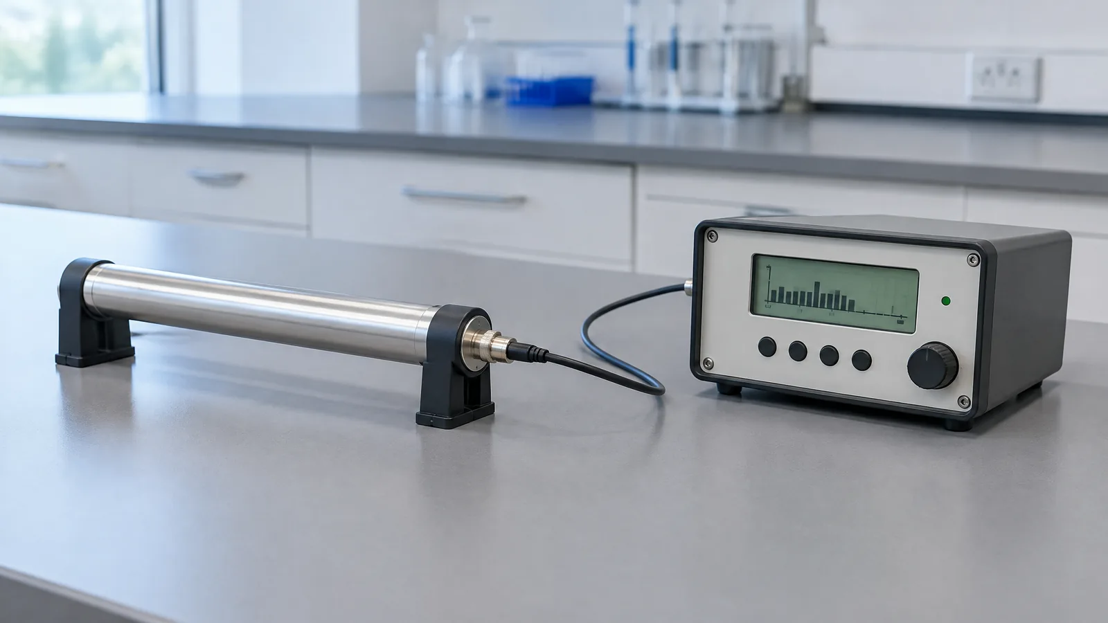
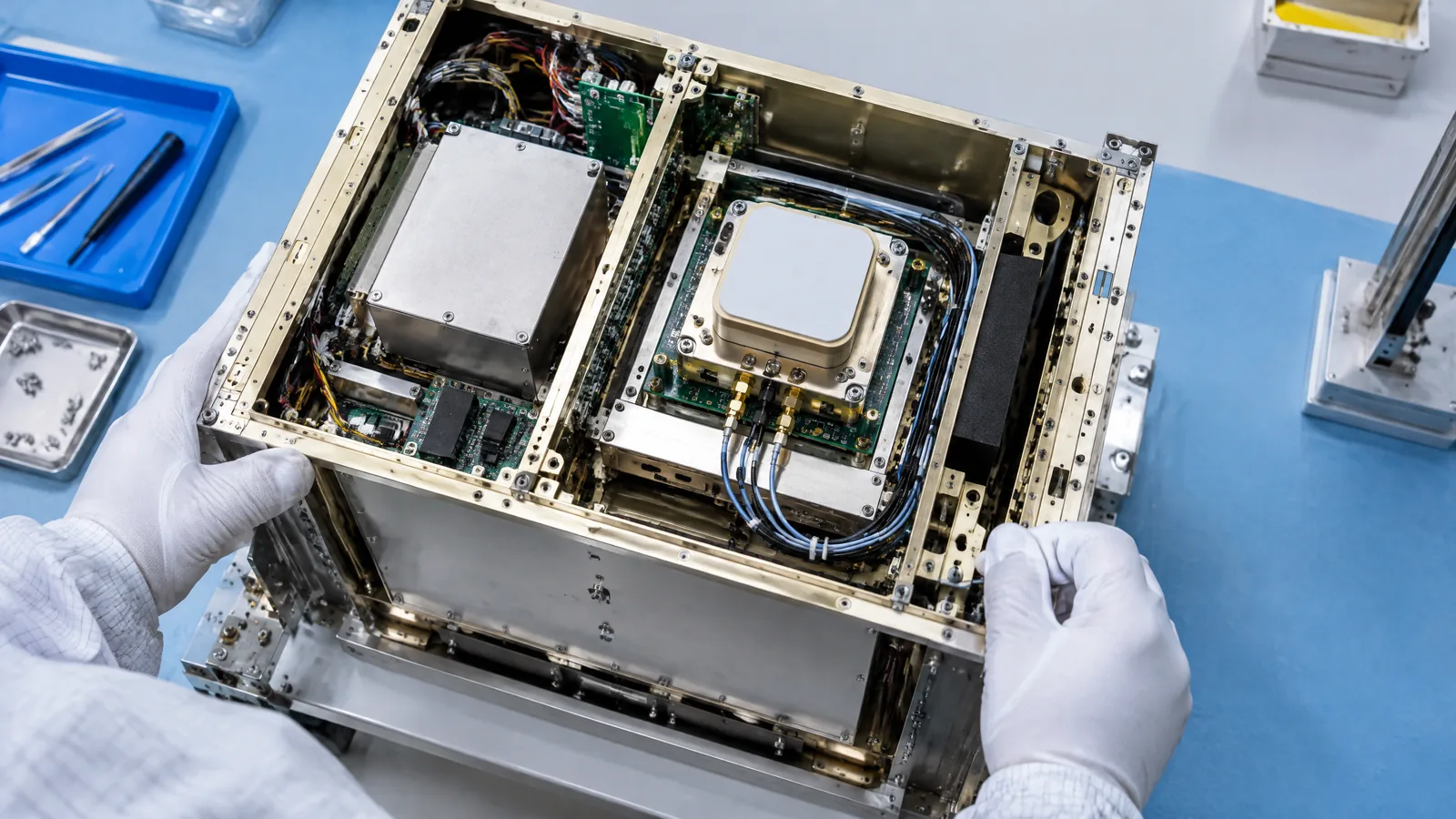
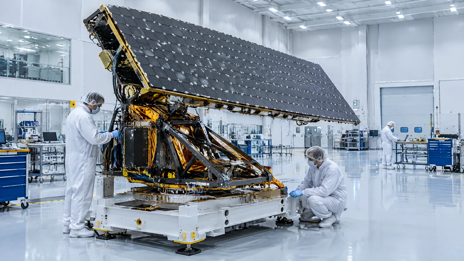
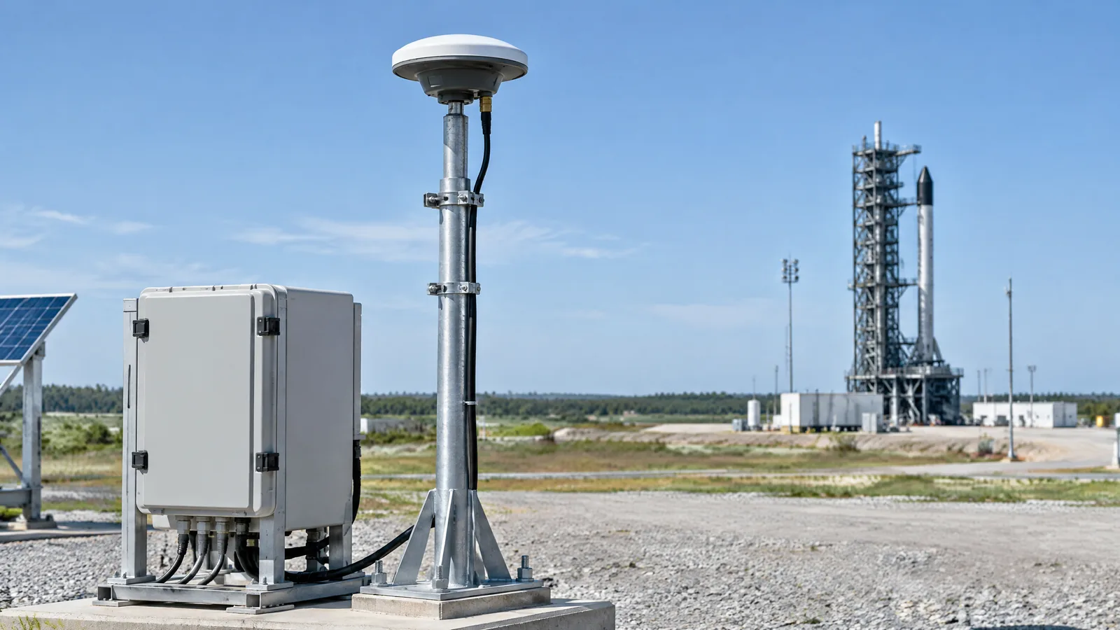
AI-generated editorial illustration; not an actual product or mission photograph.
Source notes
Reporting record
techduopulse stores source destinations privately. Public notes remain non-clickable so every visitor journey stays on this website.
Source note: NASA launch-vehicle development-flight-instrumentation design paper
Primary source · DFI architecture, physical sensors, navigation-system data, data acquisition and telemetry constraintsSource note: Safran Navigation & Timing — Inertial Navigation Systems
Context source · INS calculates position, orientation and velocity from inertial data; embedded GNSS/GPS can complement the inertial systemInitial 15 October 2026 new-page explainer for Rockets sensor 5. Distinguishes a GNSS/GPS navigation receiver from physical inertial sensors and an IMU, explains its conceptual role as complementary navigation input, and limits claims to the supplied Safran and NASA technical sources without specifying a mission, product, accuracy or guidance method.