When a launch vehicle changes speed and rotates quickly, a single sensor reading cannot describe all of its motion. A rocket inertial measurement unit (IMU) is an integrated instrument that combines accelerometer and gyroscope measurements to provide raw linear-acceleration and rotation data to onboard navigation processing.
This article is part of the computer hardware technology guide library.
Key takeaways
- An IMU is an instrument package, not one transducer: it normally combines accelerometer and gyroscope sensing.
- Its outputs describe linear acceleration and angular velocity in the instrument’s axes; navigation software uses those measurements with other information.
- An IMU is not the same as an inertial navigation system (INS), flight computer, data-acquisition unit, telemetry link or recorder.
- Sensor count, technology, range, update rate and packaging vary by vehicle and mission, so one product’s specification is not a universal rocket rule.
What does a rocket IMU measure?
A rocket IMU measures motion along the instrument’s defined axes. The accelerometer portion senses linear acceleration, while the gyroscope portion senses angular velocity, or how quickly the vehicle is rotating. Together, these streams give onboard systems a time-stamped view of changing motion and orientation.
The word “inertial” does not mean the unit knows its position by itself. An IMU reports measurements in its own reference frame. Navigation processing interprets those measurements, applies calibration and timing information, and may combine them with other sources such as external position or altitude data. The final navigation solution is therefore a system result, not a raw IMU output.
For background, an [accelerometer measures linear acceleration](/article/accelerometer-explained), while a [gyroscope measures rotation](/article/gyroscope-explained). A rocket IMU packages these kinds of component sensors into an instrument intended for coordinated use.
IMU, component sensor and INS: what is the difference?
These terms are related but should not be used interchangeably. An accelerometer is a component sensor for acceleration. A gyroscope is a component sensor for angular rate. An IMU integrates those sensors, their electronics and usually a defined mechanical enclosure and data interface. An inertial navigation system is a larger processing system that uses inertial measurements to estimate motion, attitude and navigation state over time.
A manufacturer may include additional sensing in a particular IMU design. For example, Safran describes product architectures that combine three MEMS gyros, three accelerometers and three inclinometers in one enclosure. That is an example of a product family, not a requirement that every launch-vehicle IMU has the same sensor count or includes inclinometers.
The distinction matters when reading a launch-vehicle diagram. An IMU may feed an INS or another navigation computer; it is not automatically the computer doing the navigation calculation. Likewise, an IMU is not the same as the data-acquisition unit that conditions and formats signals, or the telemetry and recorder hardware that moves and stores measurement data.
How an IMU fits into launch-vehicle instrumentation
A launch vehicle can carry several measurement paths. NASA’s discussion of development flight instrumentation describes a broader system that may include sensors, data-acquisition units, telemetry, harnesses, mounting provisions, multiplexers and recorders. The exact combination depends on the vehicle and the purpose of the flight test.
In that chain, an IMU supplies inertial measurements to a receiving system. A data-acquisition unit may provide signal conditioning and data formatting. A telemetry system can send selected data to a ground station, while a recorder can retain data for later analysis. These functions can be connected, but they are different jobs.
This separation also helps explain why an instrumentation package should not automatically be described as the vehicle’s flight-control system. Development instrumentation is intended to observe and record vehicle behaviour. Operational navigation and control architectures have their own requirements, interfaces and qualification decisions.
- IMU: measures and outputs inertial motion data.
- Navigation processor or INS: interprets measurements and estimates vehicle state.
- Data-acquisition unit: conditions, samples or formats signals for a measurement system.
- Telemetry and recorder: transmit or store selected data for monitoring and analysis.
Why mounting, timing and environment matter
An IMU’s output is only useful when the instrument’s axes, mounting and timing are understood. The physical orientation of the unit establishes how its X, Y and Z measurements relate to the vehicle. Small installation errors, structural vibration or thermal changes can affect how the downstream system interprets the data.
Launch-vehicle instrumentation also has to account for harnessing, shock, vibration, temperature, power and data handling. NASA notes that mounting provisions, timing, buffering and synchronisation need attention because they influence later analysis. A precise sensor cannot repair missing timestamps, an unsuitable installation or an unreliable data path.
Specifications should be read as a set rather than as one headline accuracy number. Relevant parameters can include measurement range, noise, bias stability, output data rate, bandwidth and environmental limits. Safran lists these as important IMU selection considerations, but its example ranges are product-specific and should not be presented as universal values for all rockets.
What an IMU cannot tell you on its own
An IMU can measure changes in acceleration and rotation without depending on a continuous GPS signal, which is useful when an external positioning signal is unavailable. However, that does not make the unit a complete, drift-free position source. Converting inertial measurements into a navigation state requires integration, calibration, reference frames, timing and processing assumptions.
Nor does the presence of an IMU prove a particular guidance performance, control law or safety function. Vehicles use different architectures, redundancy arrangements and qualification standards. A hobby module, phone sensor or isolated data stream cannot be treated as evidence of a launch vehicle’s operational design.
The practical lesson is simple: ask what the IMU measures, where its data goes, how it is mounted and which other systems complete the navigation or test-instrumentation chain.
Frequently asked questions
Is a rocket IMU just an accelerometer?
No. An accelerometer is one component sensor that measures linear acceleration. An IMU is an integrated instrument that normally combines accelerometers and gyroscopes, plus electronics, packaging and an interface. A specific design may include additional sensing.
Does an IMU measure a rocket’s position?
Not directly. It outputs acceleration and angular-rate measurements. Navigation processing can use those measurements to estimate motion and position over time, usually with calibration, timing and other reference information.
What is the difference between an IMU and an INS?
An IMU supplies raw inertial measurements. An inertial navigation system uses those measurements, processing and reference information to estimate the vehicle’s navigation state. The IMU is an input instrument; the INS is a larger navigation function or system.
Do all launch vehicles use the same IMU?
No. IMU architecture and specifications depend on the vehicle, mission, environment, interfaces and qualification requirements. Sensor count, technology, range, update rate and packaging can differ.
Can an IMU work without GPS?
It can continue measuring local acceleration and rotation without a GPS signal. That does not guarantee an absolute position solution indefinitely, because inertial estimates can accumulate error and depend on the complete navigation architecture.
About the image
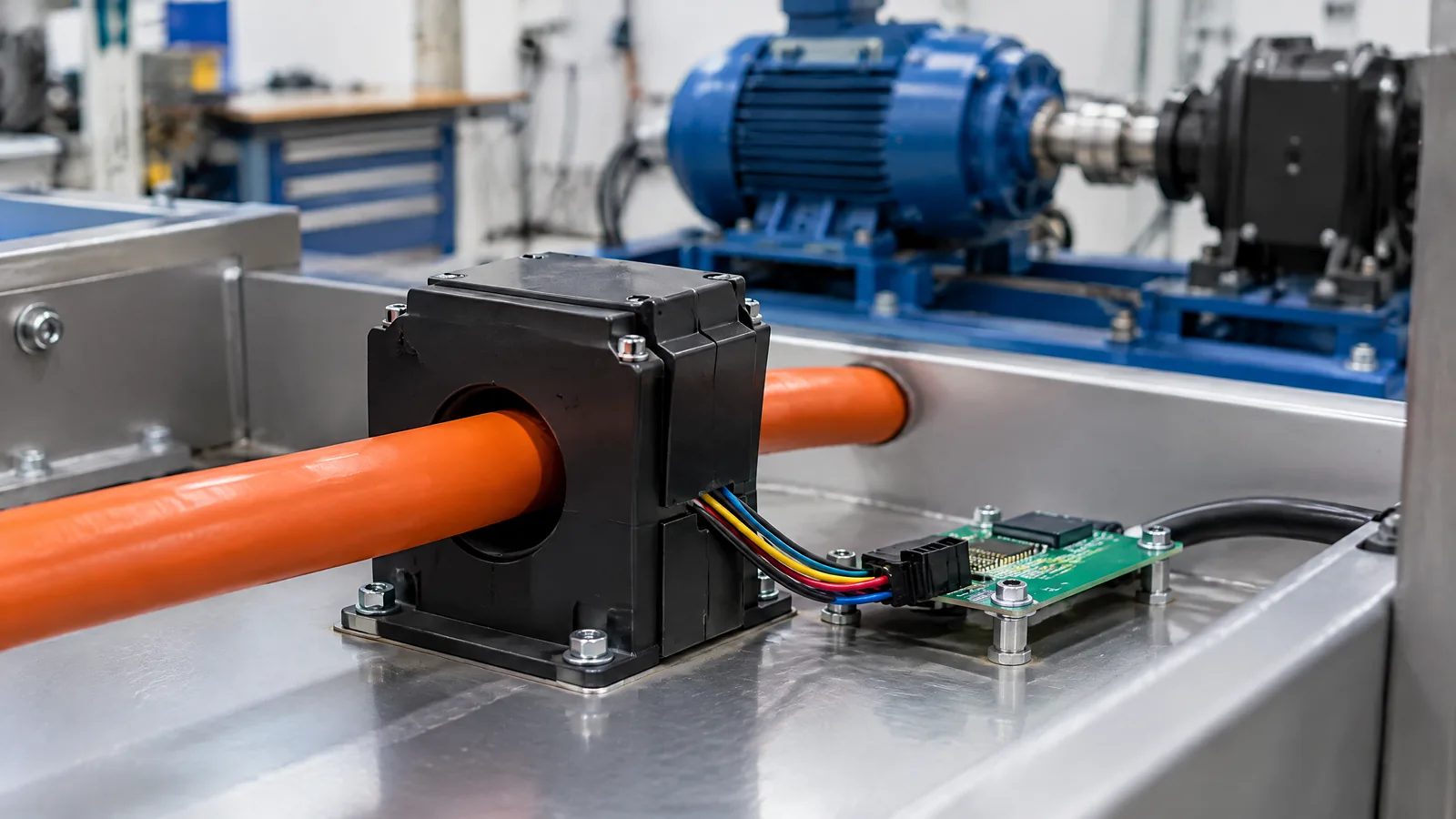
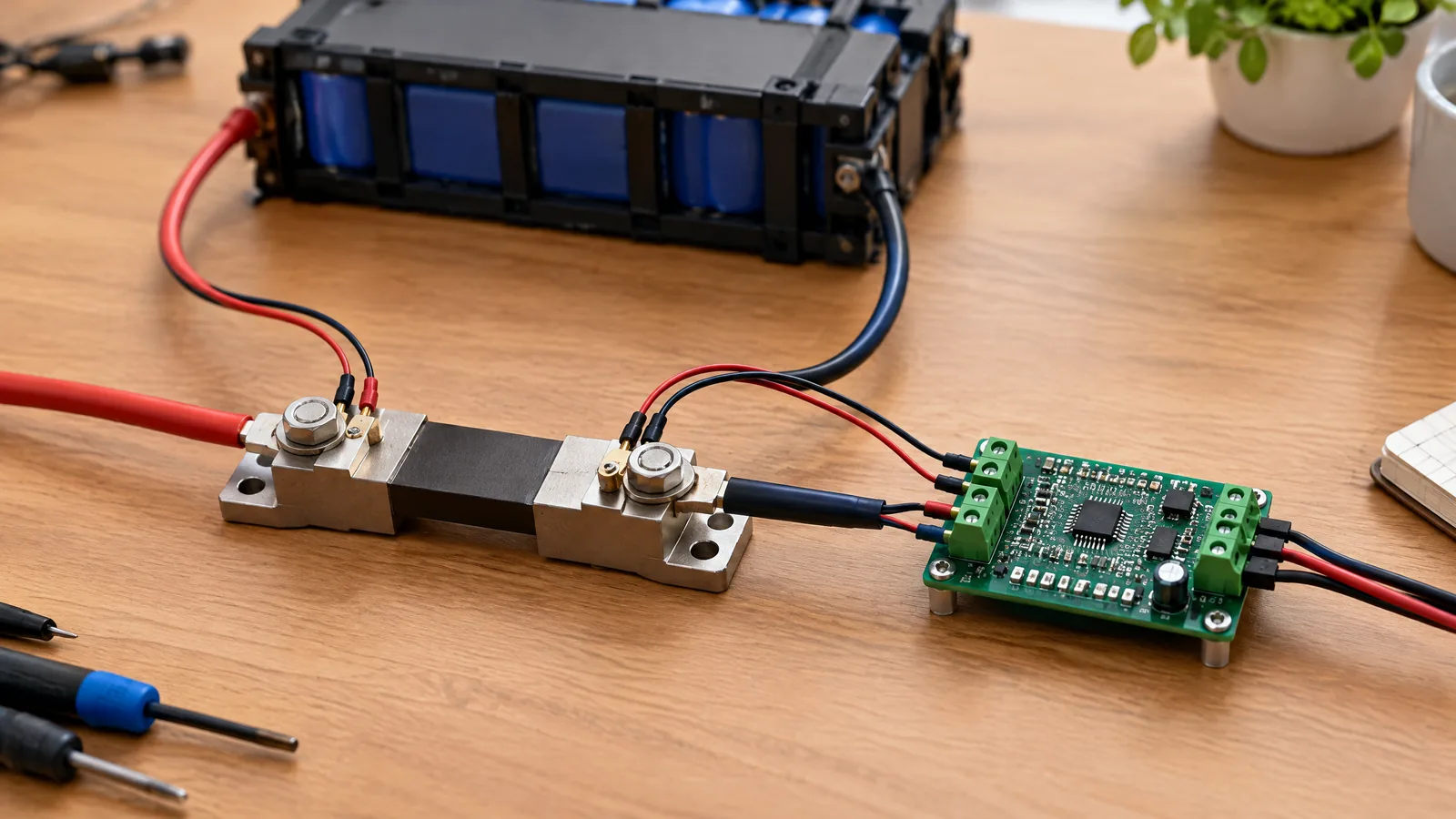
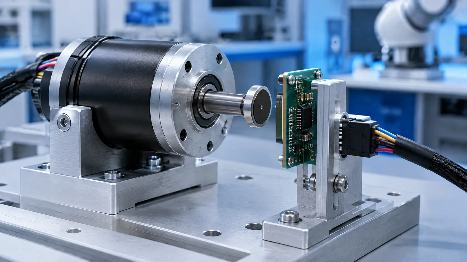
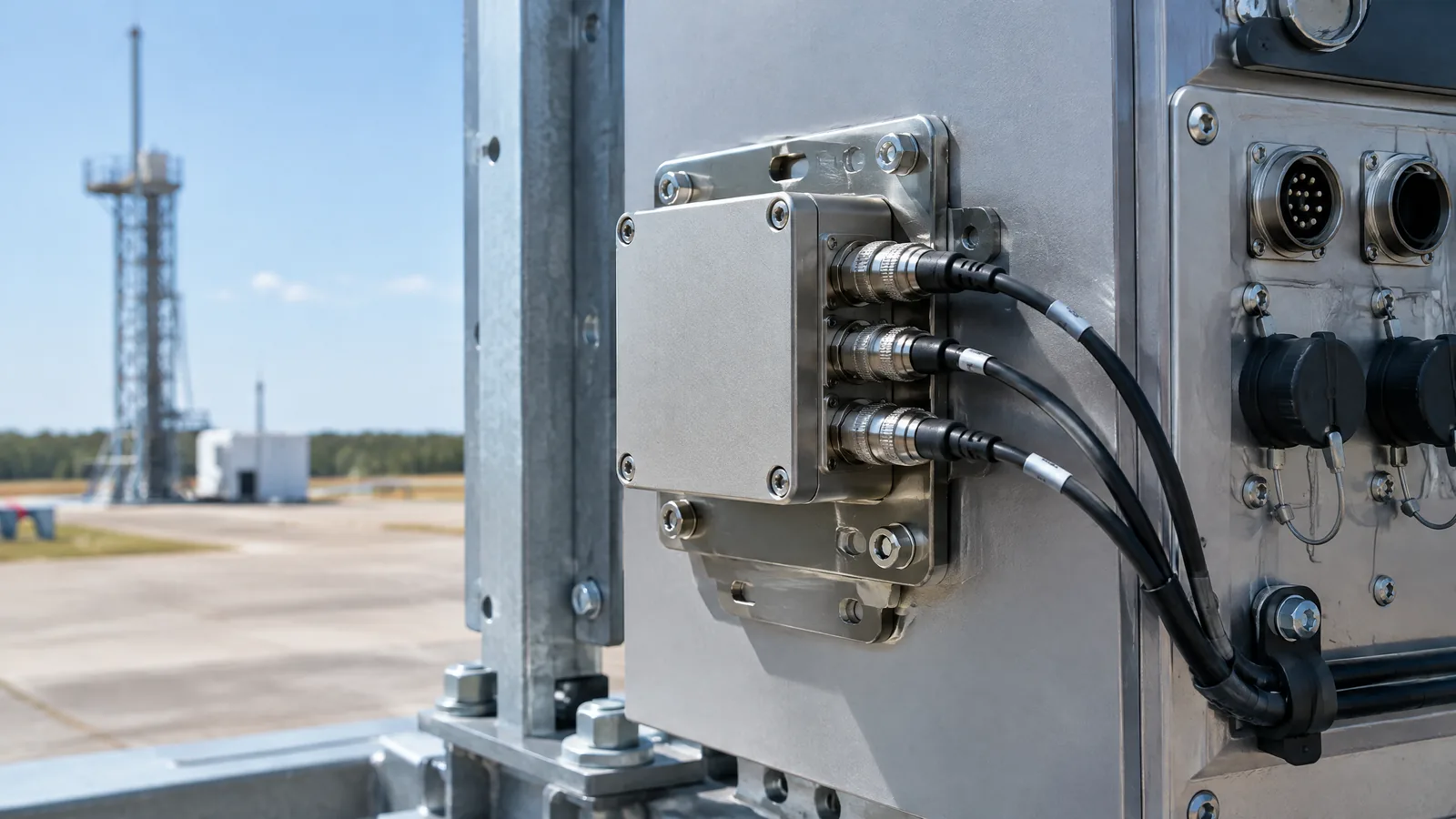
AI-generated editorial illustration; not an actual product or mission photograph.
Source notes
Reporting record
techduopulse stores source destinations privately. Public notes remain non-clickable so every visitor journey stays on this website.
Source note: Safran inertial measurement unit guidance
Primary source · IMU definition; accelerometer and gyroscope roles; raw data for navigation; model-specific architecture and selection parametersSource note: NASA launch-vehicle development-flight-instrumentation design paper
Primary source · Launch-vehicle measurement architecture; sensor, data-acquisition, telemetry and recorder roles; mounting, timing and synchronisation considerationsInitial 15 October 2026 India-focused rocket instrumentation explainer. Adds a distinct application page rather than duplicating the existing accelerometer and gyroscope guides; defines the IMU as an integrated instrument, separates it from component sensors, INS, data acquisition and telemetry, and qualifies model-specific architecture and limits using Safran and NASA technical sources.